Morris Plains is a borough in Morris County, in the U.S. state of New Jersey. As of the 2020 United States census, the borough’s population was 6,153, an increase of 621 (+11.2%) from the 2010 census count of 5,532, which in turn reflected an increase of 296 (+5.7%) from the 5,236 counted in the 2000 census.
Morris Plains was incorporated as a borough by an act of the New Jersey Legislature on March 15, 1926, from portions of Hanover Township, based on the results of a referendum held on April 15, 1926. The borough’s name comes from Lewis Morris, colonial governor of New Jersey.
Morris Plains serves as a bedroom community, with many residents traveling to work in New York City. The Morristown Line of NJ Transit provides commuters with direct access to New York Penn Station and to Hoboken Terminal.
| Name: | Morris Plains borough |
|---|---|
| LSAD Code: | 21 |
| LSAD Description: | borough (suffix) |
| State: | New Jersey |
| County: | Morris County |
| Incorporated: | April 15, 1926 |
| Elevation: | 430 ft (130 m) |
| Total Area: | 2.59 sq mi (6.71 km²) |
| Land Area: | 2.55 sq mi (6.61 km²) |
| Water Area: | 0.04 sq mi (0.09 km²) 1.35% |
| Total Population: | 6,153 |
| Population Density: | 2,409.6/sq mi (930.4/km²) |
| ZIP code: | 07950 |
| Area code: | 973 |
| FIPS code: | 3448210 |
| GNISfeature ID: | 0885308 |
| Website: | www.morrisplainsboro.org |
Online Interactive Map
Click on ![]() to view map in "full screen" mode.
to view map in "full screen" mode.
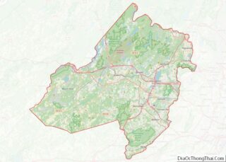
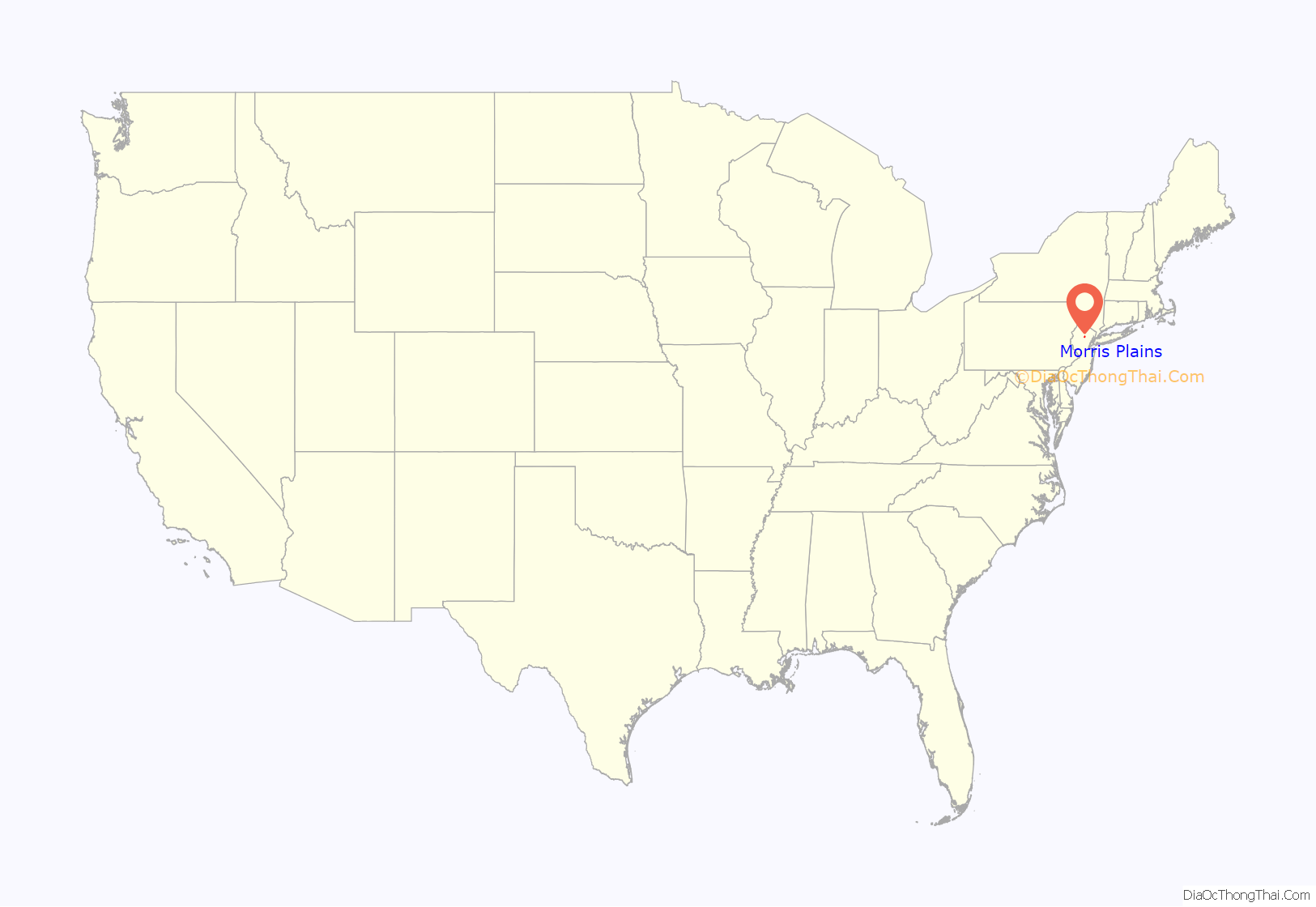
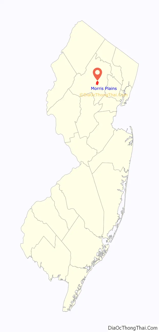
Morris Plains location map. Where is Morris Plains borough?
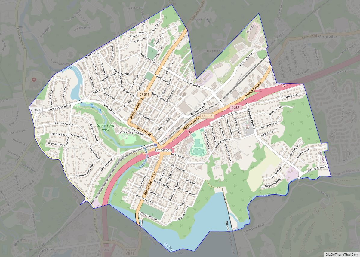
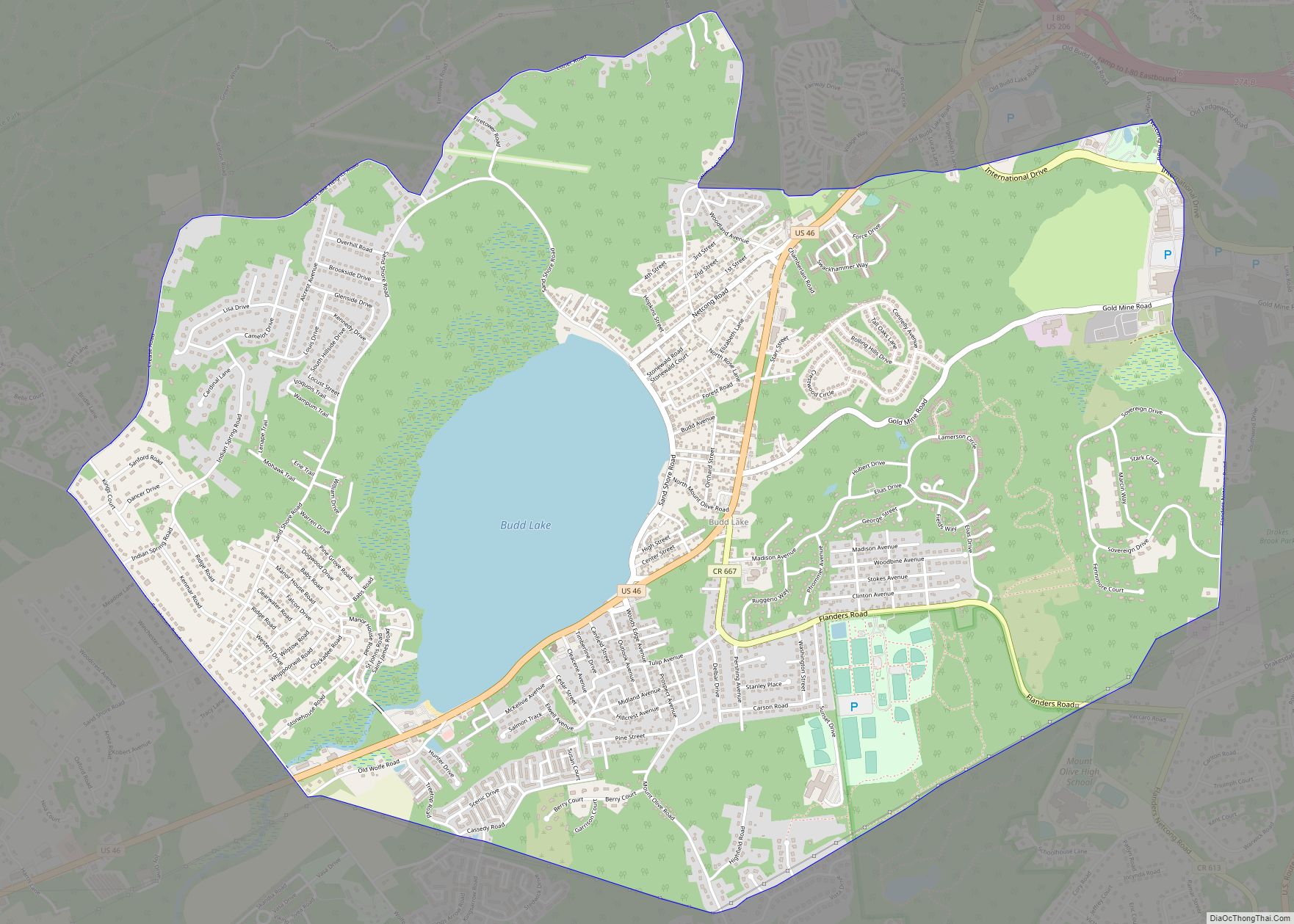
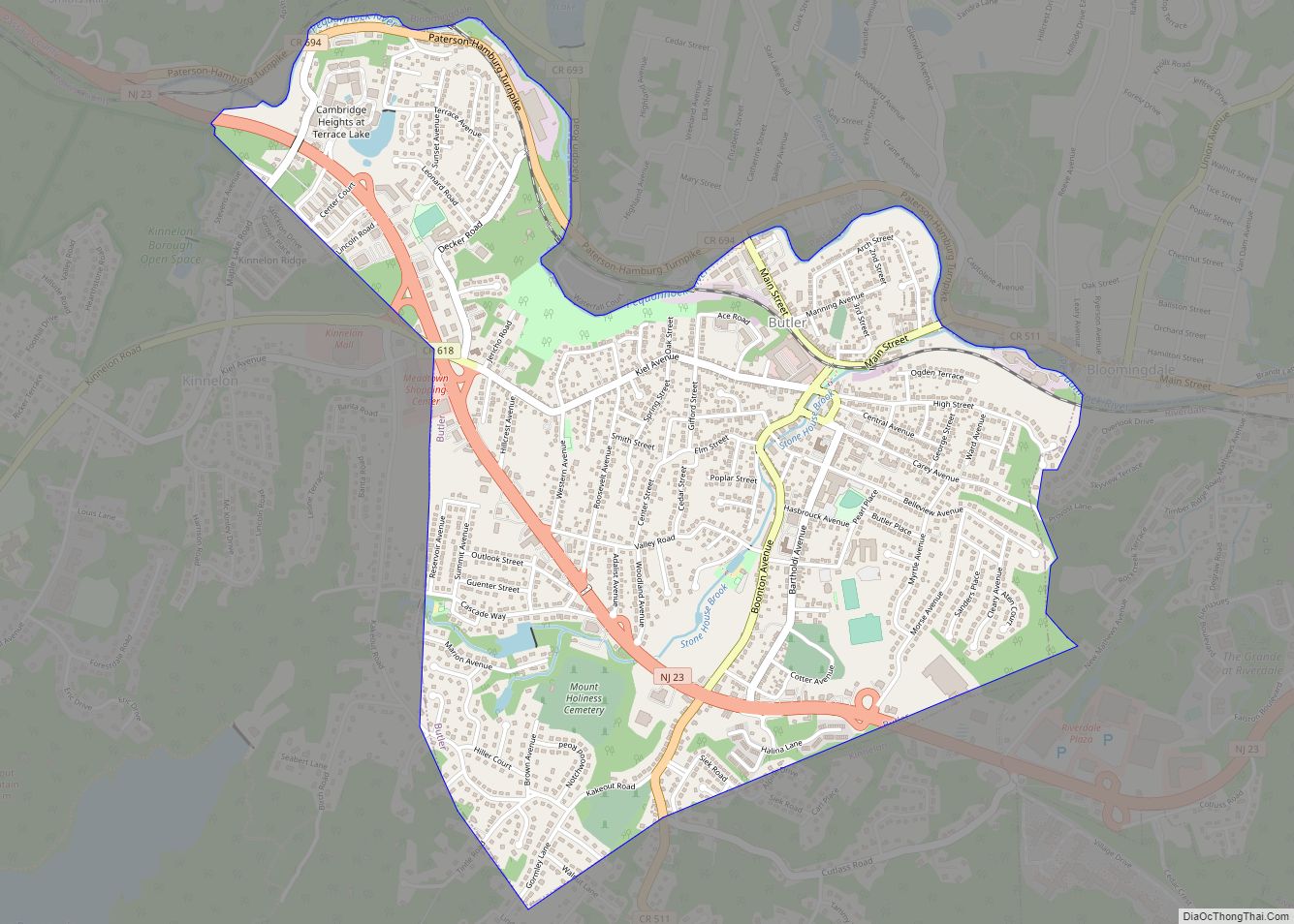
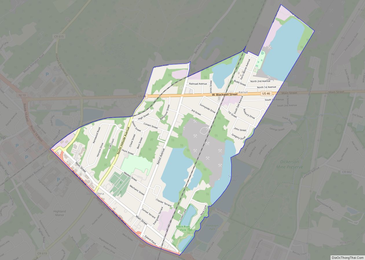
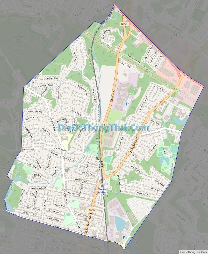
Morris Plains Road Map
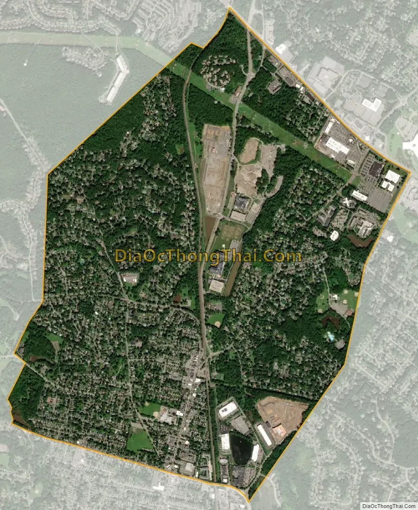
Morris Plains city Satellite Map
Geography
According to the United States Census Bureau, the borough had a total area of 2.59 square miles (6.71 km), including 2.55 square miles (6.61 km) of land and 0.04 square miles (0.09 km) of water (1.35%).
Unincorporated communities, localities and place names located partially or completely within the township include Littleton.
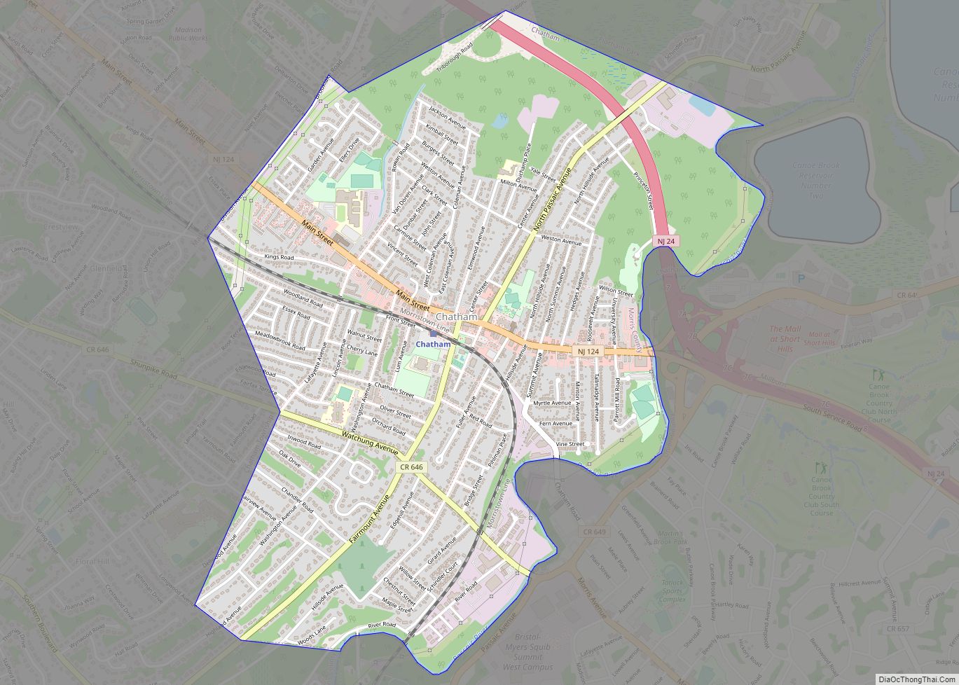
The borough borders the Morris County municipalities of Hanover Township, Morris Township and Parsippany-Troy Hills.
Climate
The climate in this area is characterized by hot, humid summers and generally mild to cool winters. According to the Köppen Climate Classification system, Morris Plains has a humid subtropical climate, abbreviated “Cfa” on climate maps.
See also
Map of New Jersey State and its subdivision: Map of other states:- Alabama
- Alaska
- Arizona
- Arkansas
- California
- Colorado
- Connecticut
- Delaware
- District of Columbia
- Florida
- Georgia
- Hawaii
- Idaho
- Illinois
- Indiana
- Iowa
- Kansas
- Kentucky
- Louisiana
- Maine
- Maryland
- Massachusetts
- Michigan
- Minnesota
- Mississippi
- Missouri
- Montana
- Nebraska
- Nevada
- New Hampshire
- New Jersey
- New Mexico
- New York
- North Carolina
- North Dakota
- Ohio
- Oklahoma
- Oregon
- Pennsylvania
- Rhode Island
- South Carolina
- South Dakota
- Tennessee
- Texas
- Utah
- Vermont
- Virginia
- Washington
- West Virginia
- Wisconsin
- Wyoming