Mountain Lakes is a borough in Morris County, in the U.S. state of New Jersey, and a suburb of New York City. As of the 2020 United States census, the borough’s population was 4,472, an increase of 312 (+7.5%) from the 2010 census count of 4,160, which in turn had reflected a decline of 96 (−2.3%) from the 4,256 recorded at the 2000 census.
Originally a planned community, the borough was named for a pair of lakes which served to distinguish Mountain Lakes as “the first year-round residential lake community in northwestern New Jersey.” Mountain Lakes was incorporated as a borough by an act of the New Jersey Legislature on March 3, 1924, from portions of Boonton Township and Hanover Township, subject to the results of a referendum passed on April 29, 1924.
The borough has been one of the state’s highest-income communities. In the 2013–2017 American Community Survey, Mountain Lakes had a median household income of $175,556 (ranked 12th in the state) and included 45.6% of households earning more than $200,000 annually.
In 2010, Forbes.com listed Mountain Lakes as 210th in its listing of “America’s Most Expensive ZIP Codes”, with a median home price of $1,045,401.
Mountain Lakes ranked among the highest annual property tax bills in New Jersey, and was the highest in Morris County, at $20,471 in 2018, compared to a statewide average of $8,767. New Jersey Monthly magazine ranked Mountain Lakes as the 26th best place to live in New Jersey in its rankings of the “New Jersey’s Top Towns 2011–2012” in New Jersey.
The Mountain Lakes station provides NJ Transit commuter train service. The station offers service on the Montclair-Boonton Line and is the first train station heading eastbound not concurrent with the nearby Morris & Essex Lines.
| Name: | Mountain Lakes borough |
|---|---|
| LSAD Code: | 21 |
| LSAD Description: | borough (suffix) |
| State: | New Jersey |
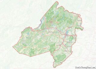
| County: | Morris County |
| Incorporated: | April 29, 1924 |
| Elevation: | 489 ft (149 m) |
| Total Area: | 2.91 sq mi (7.53 km²) |
| Land Area: | 2.64 sq mi (6.85 km²) |
| Water Area: | 0.27 sq mi (0.69 km²) 9.11% |
| Total Population: | 4,472 |
| Population Density: | 1,693.2/sq mi (653.7/km²) |
| ZIP code: | 07046 |
| Area code: | 973 |
| FIPS code: | 3448480 |
| GNISfeature ID: | 0885310 |
| Website: | www.mtnlakes.org |
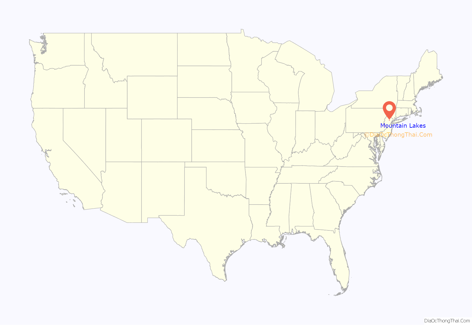
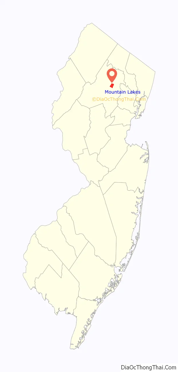
Online Interactive Map
Click on ![]() to view map in "full screen" mode.
to view map in "full screen" mode.
Mountain Lakes location map. Where is Mountain Lakes borough?
History
Mountain Lakes was originally a planned community, founded in 1910 by Herbert Hapgood. The entire face of the community changed from a wilderness of Dutch and English properties to a planned suburban community of large stucco houses now affectionately known as “Hapgoods.” During this single decade, the natural and architectural character of Mountain Lakes was developed. Hapgood was particularly influenced by the Arts and Crafts movement, at the height of its popularity in 1910 when he started building.
Lawrence W. Luellen, inventor of the Dixie Cup, became the community’s first resident when he moved to his new home in March 1911.
The Hapgood model homes were early forerunners of the modern development, but each house was modified to suit individual tastes. To the basic styles of these houses, Hapgood added colonial and craftsman features. He reversed floor plans, and interchanged architectural details. By the end of 1912, two hundred Hapgood homes were sold and occupied and in 1914 saw the formation of the Mountain Lakes Club. By 1923, approximately six hundred stucco houses were built to meet the overwhelming demand. Mountain Lakes became an independent municipality in 1924.
The United States Navy’s Underwater Sound Reference Laboratories was located in Mountain Lakes during World War II.
Mountain Lakes had a discriminatory “gentleman’s agreement” from its inception up through the 1960s, preventing African-Americans, Jews, Latinos, Catholics, and other “undesirable groupings” from living there. While this was abandoned in recent years, the town still has a less diverse population than the rest of New Jersey, or Morris County.
Mountain Lakes is home to historic Grimes Homestead; an 18th-century home that served as a way station on the Underground Railroad.
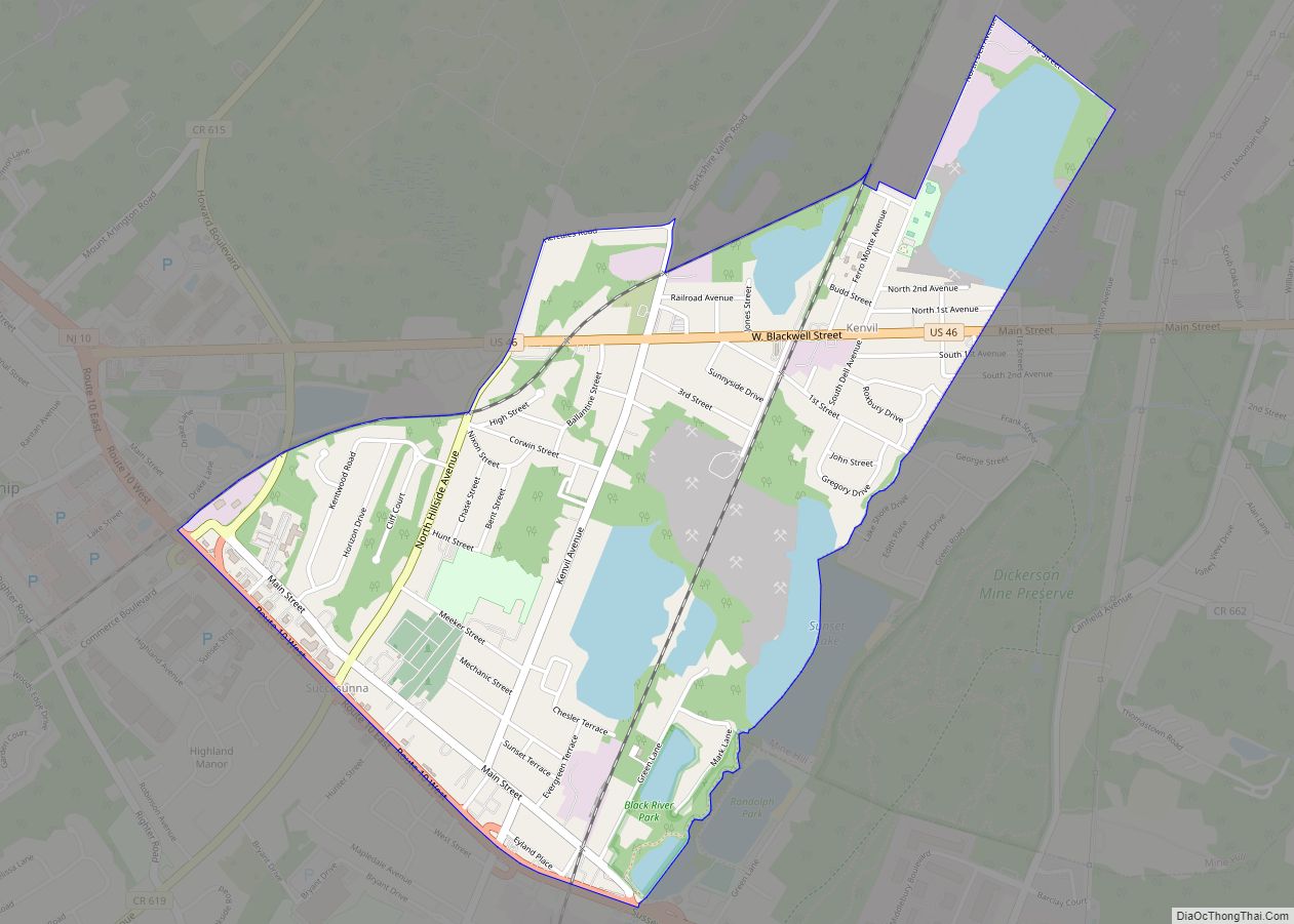
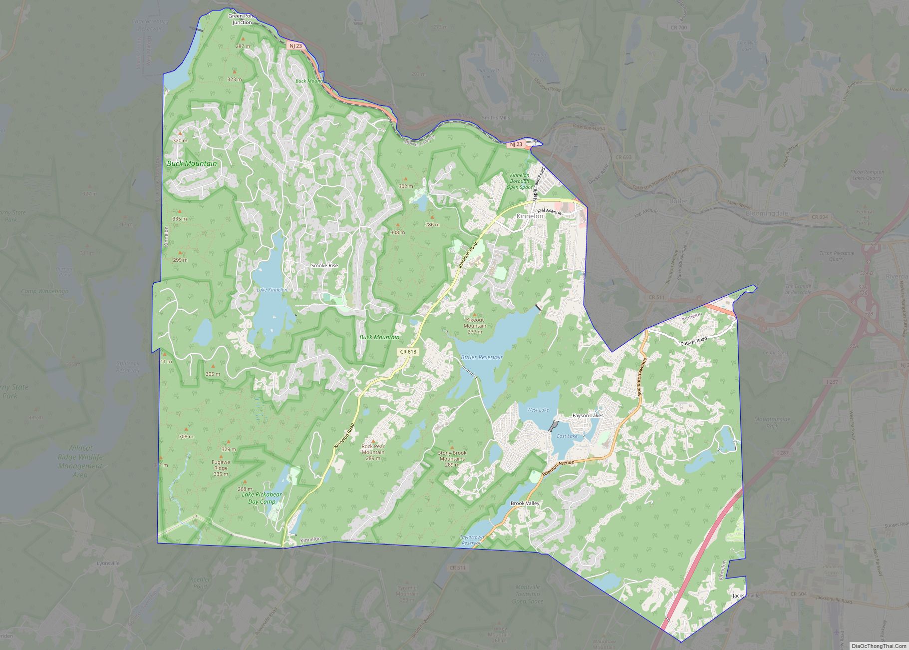
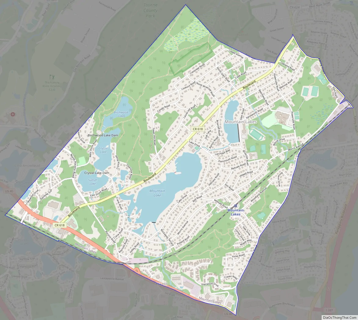
Mountain Lakes Road Map
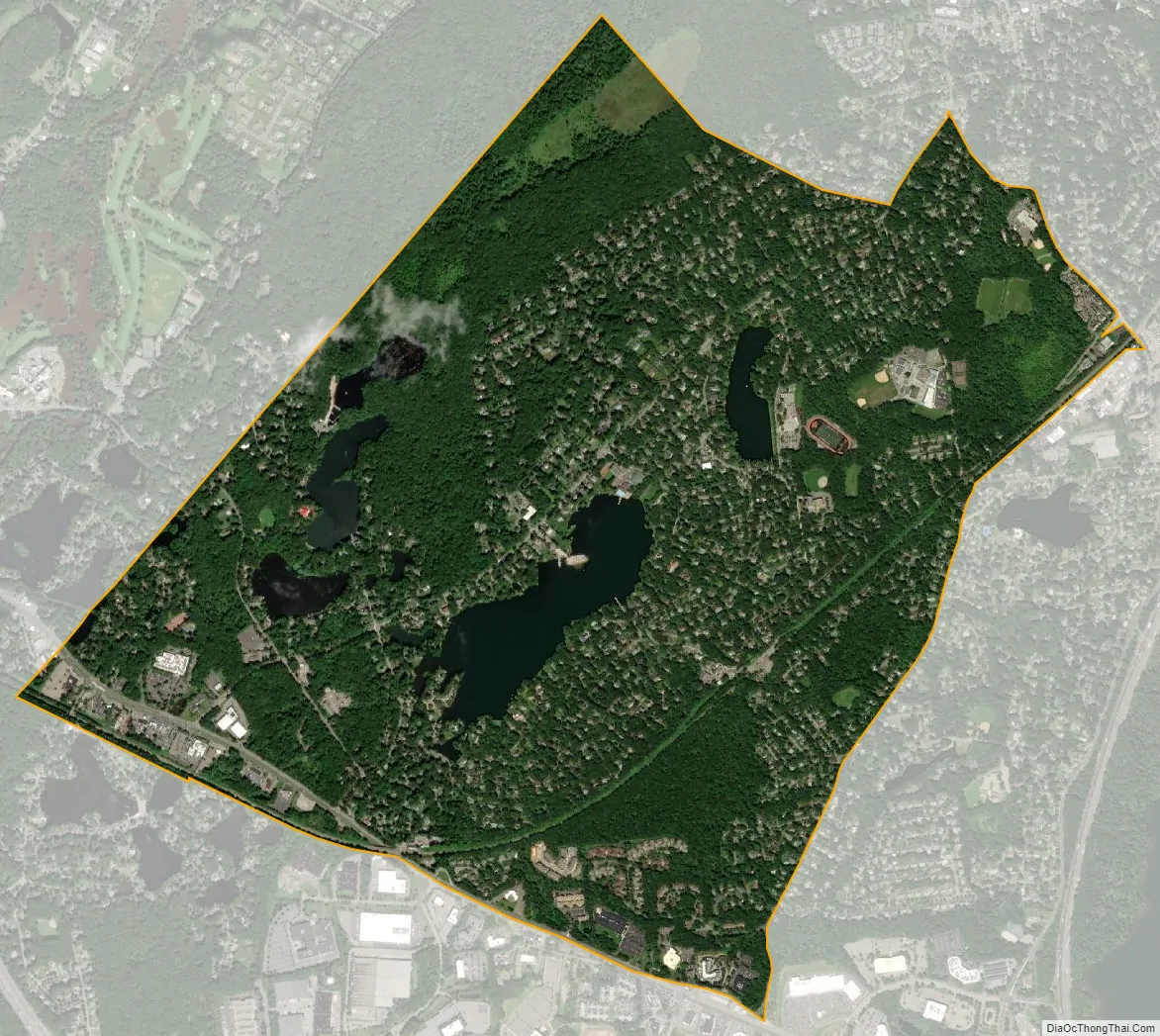
Mountain Lakes city Satellite Map
Geography
According to the United States Census Bureau, the borough had a total area of 2.91 square miles (7.53 km), including 2.64 square miles (6.84 km) of land and 0.27 square miles (0.69 km) of water (9.11%).
Part of The Tourne county park is in Mountain Lakes.
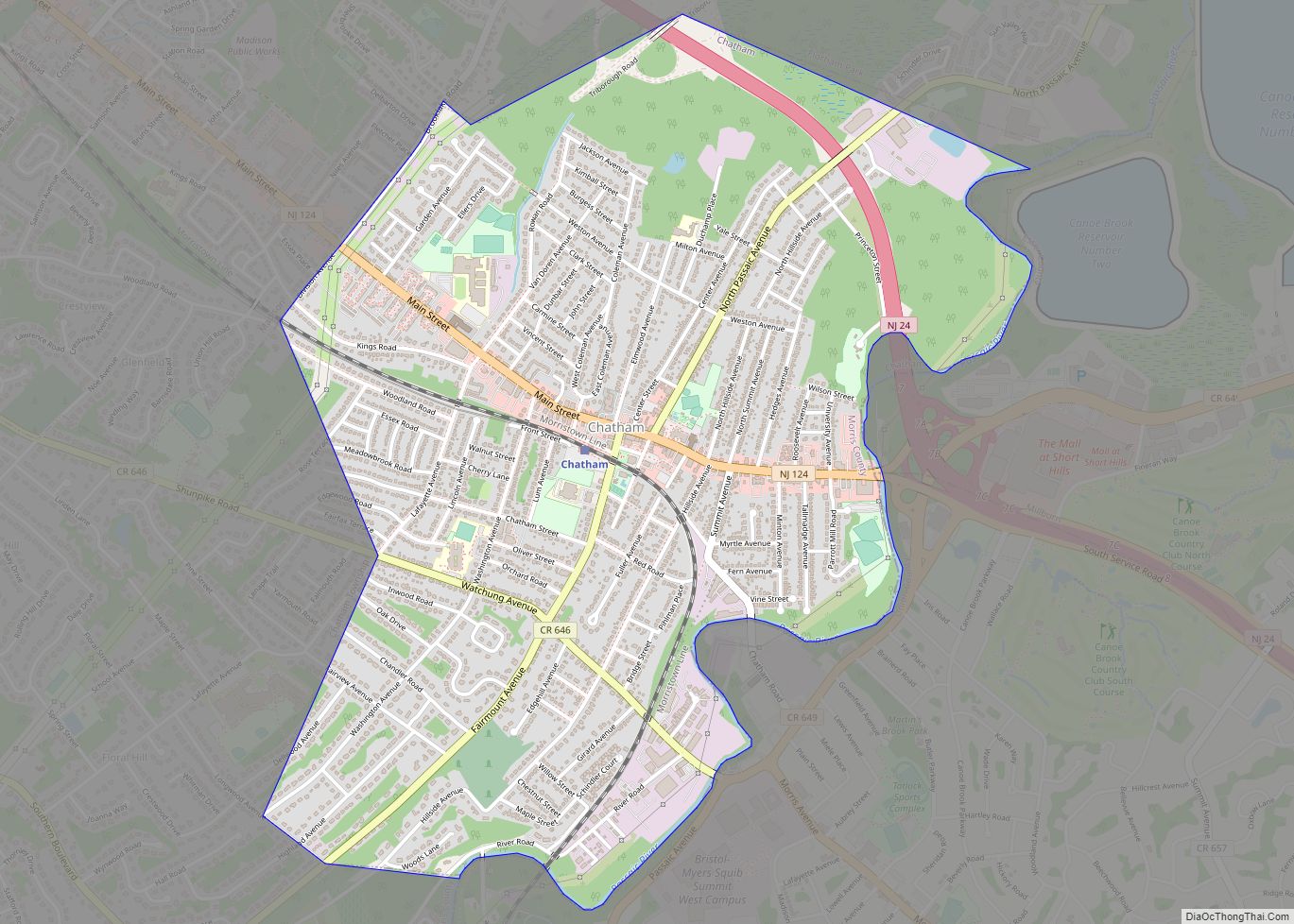
The borough borders Parsippany-Troy Hills, to the east and south, the town of Boonton to the northeast, Boonton Township to the northwest and Denville to the west all of which are located in Morris County.
Lakes
Man-made lakes in Mountain Lakes include Birchwood Lake, Crystal Lake, Mountain Lake, Shadow Lake, Sunset Lake, Wildwood Lake, and Cove Lake. There are town private swimming beaches in Birchwood Lake, and Mountain Lake. The Mountain Lakes Club is located on the northern end of Mountain Lake.
Beaches are open from sunrise to sunset and facilities are available between the hours of 10 AM to 6 PM every day between the months of June and August with a beach badge purchased at the borough hall. Beach badges are available to Mountain Lakes residents only.
See also
Map of New Jersey State and its subdivision: Map of other states:- Alabama
- Alaska
- Arizona
- Arkansas
- California
- Colorado
- Connecticut
- Delaware
- District of Columbia
- Florida
- Georgia
- Hawaii
- Idaho
- Illinois
- Indiana
- Iowa
- Kansas
- Kentucky
- Louisiana
- Maine
- Maryland
- Massachusetts
- Michigan
- Minnesota
- Mississippi
- Missouri
- Montana
- Nebraska
- Nevada
- New Hampshire
- New Jersey
- New Mexico
- New York
- North Carolina
- North Dakota
- Ohio
- Oklahoma
- Oregon
- Pennsylvania
- Rhode Island
- South Carolina
- South Dakota
- Tennessee
- Texas
- Utah
- Vermont
- Virginia
- Washington
- West Virginia
- Wisconsin
- Wyoming