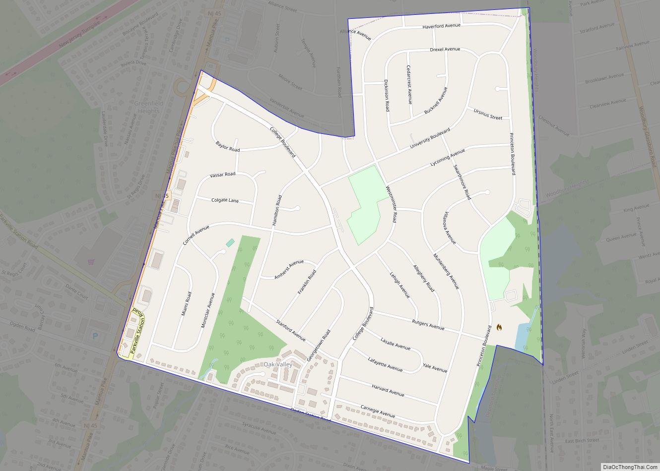
Oak Valley is an unincorporated community and census-designated place (CDP) located within Deptford Township in Gloucester County, New Jersey. As of the 2010 U.S. census, Oak Valley’s population was 3,483.
Oak Valley and neighboring Pine Acres are located east of Route 45, isolated from the rest of Deptford Township, requiring residents to drive through the neighboring communities of Woodbury Heights or Wenonah to reach other destinations in the township. The neighborhood was built between the mid-1950s and 1963 on a combination of farmland, fruit orchards and the former grounds of the Forest View Country Club, later known as Oak Valley Country Club, which was a golf course that closed down during the Great Depression.
| Name: | Oak Valley CDP |
|---|---|
| LSAD Code: | 57 |
| LSAD Description: | CDP (suffix) |
| State: | New Jersey |
| County: | Gloucester County |
| Elevation: | 85 ft (26 m) |
| Total Area: | 0.70 sq mi (1.81 km²) |
| Land Area: | 0.70 sq mi (1.81 km²) |
| Water Area: | 0.00 sq mi (0.00 km²) 0.51% |
| Total Population: | 3,497 |
| Population Density: | 5,010.03/sq mi (1,935.65/km²) |
| ZIP code: | 08090 – Wenonah |
| Area code: | 856 |
| FIPS code: | 3454060 |
| GNISfeature ID: | 02389602 |
Online Interactive Map
Click on ![]() to view map in "full screen" mode.
to view map in "full screen" mode.
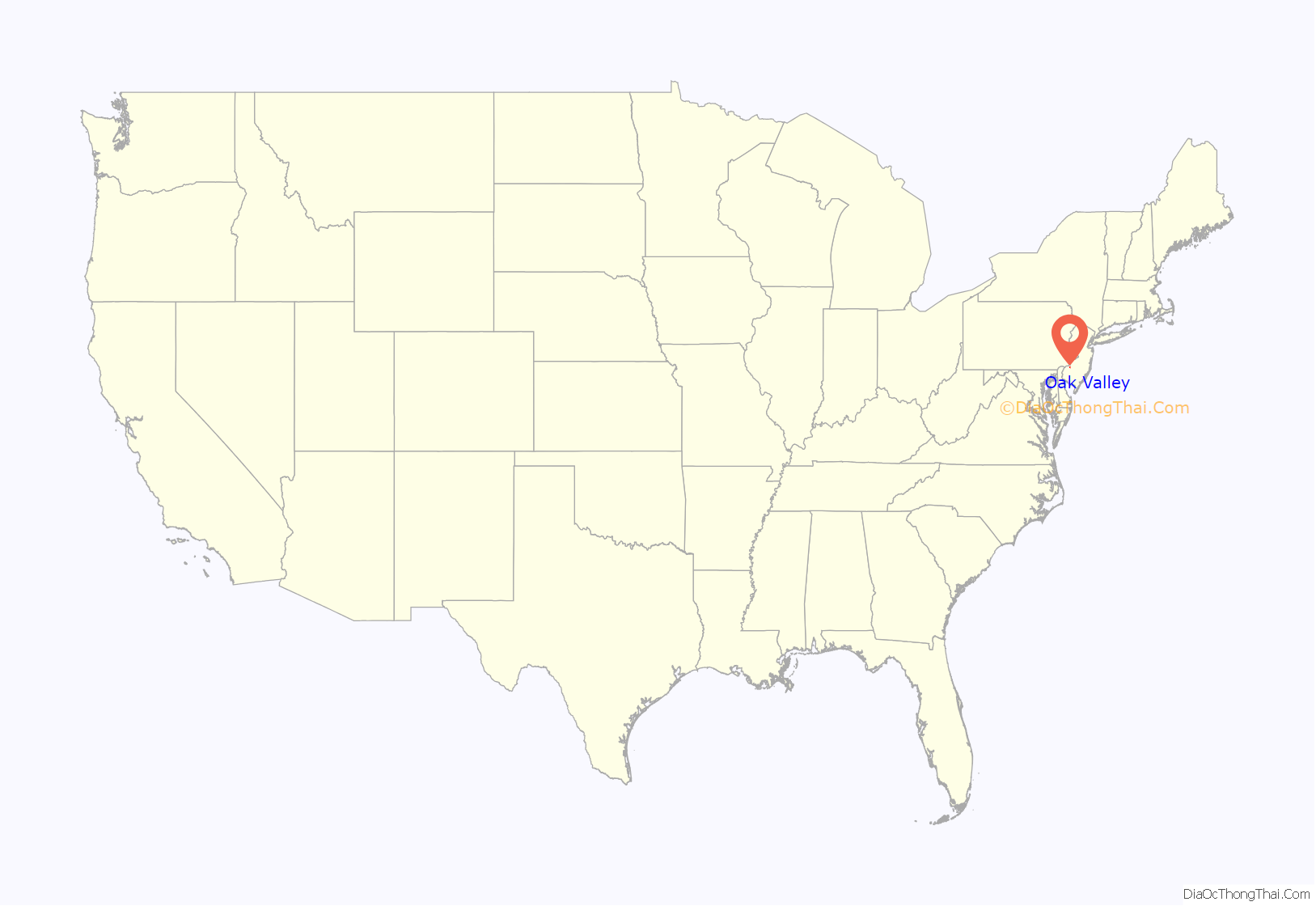
Oak Valley location map. Where is Oak Valley CDP?
Oak Valley Road Map
Oak Valley city Satellite Map
Geography
According to the U.S. Census Bureau, the CDP had a total area of 0.711 square miles (1.841 km), including 0.707 square miles (1.831 km) of land and 0.004 square miles (0.009 km) of water (0.51%). It is located approximately 10 miles south of Philadelphia.
See also
Map of New Jersey State and its subdivision: Map of other states:- Alabama
- Alaska
- Arizona
- Arkansas
- California
- Colorado
- Connecticut
- Delaware
- District of Columbia
- Florida
- Georgia
- Hawaii
- Idaho
- Illinois
- Indiana
- Iowa
- Kansas
- Kentucky
- Louisiana
- Maine
- Maryland
- Massachusetts
- Michigan
- Minnesota
- Mississippi
- Missouri
- Montana
- Nebraska
- Nevada
- New Hampshire
- New Jersey
- New Mexico
- New York
- North Carolina
- North Dakota
- Ohio
- Oklahoma
- Oregon
- Pennsylvania
- Rhode Island
- South Carolina
- South Dakota
- Tennessee
- Texas
- Utah
- Vermont
- Virginia
- Washington
- West Virginia
- Wisconsin
- Wyoming
