Ogdensburg is a borough in Sussex County, in the U.S. state of New Jersey. As of the 2020 United States census, the borough’s population was 2,258, a decrease of 152 (−6.3%) from the 2010 census count of 2,410, which in turn reflected a decline of 228 (−8.6%) from the 2,638 counted at the 2000 census.
The borough was formed based on an Act of the New Jersey Legislature on February 26, 1914, from part of Sparta Township, subject to the results of a referendum held on March 31, 1914. Ogdensburg is named after its first settler, Robert Ogden.
New Jersey Monthly magazine ranked Ogdensburg as its 27th best place to live in its 2008 rankings of the “Best Places To Live” in New Jersey.
| Name: | Ogdensburg borough |
|---|---|
| LSAD Code: | 21 |
| LSAD Description: | borough (suffix) |
| State: | New Jersey |
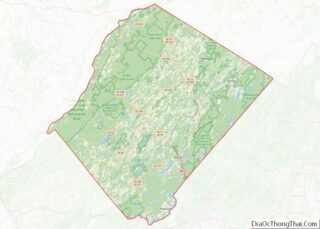
| County: | Sussex County |
| Incorporated: | March 31, 1914 |
| Elevation: | 591 ft (180 m) |
| Total Area: | 2.25 sq mi (5.82 km²) |
| Land Area: | 2.20 sq mi (5.71 km²) |
| Water Area: | 0.04 sq mi (0.11 km²) 1.96% |
| Total Population: | 2,258 |
| Population Density: | 1,024.7/sq mi (395.6/km²) |
| ZIP code: | 07439 |
| Area code: | 973 exchanges: 209, 823, 827 |
| FIPS code: | 3454660 |
| GNISfeature ID: | 0885335 |
| Website: | www.ogdensburgnj.org |
Online Interactive Map
Click on ![]() to view map in "full screen" mode.
to view map in "full screen" mode.
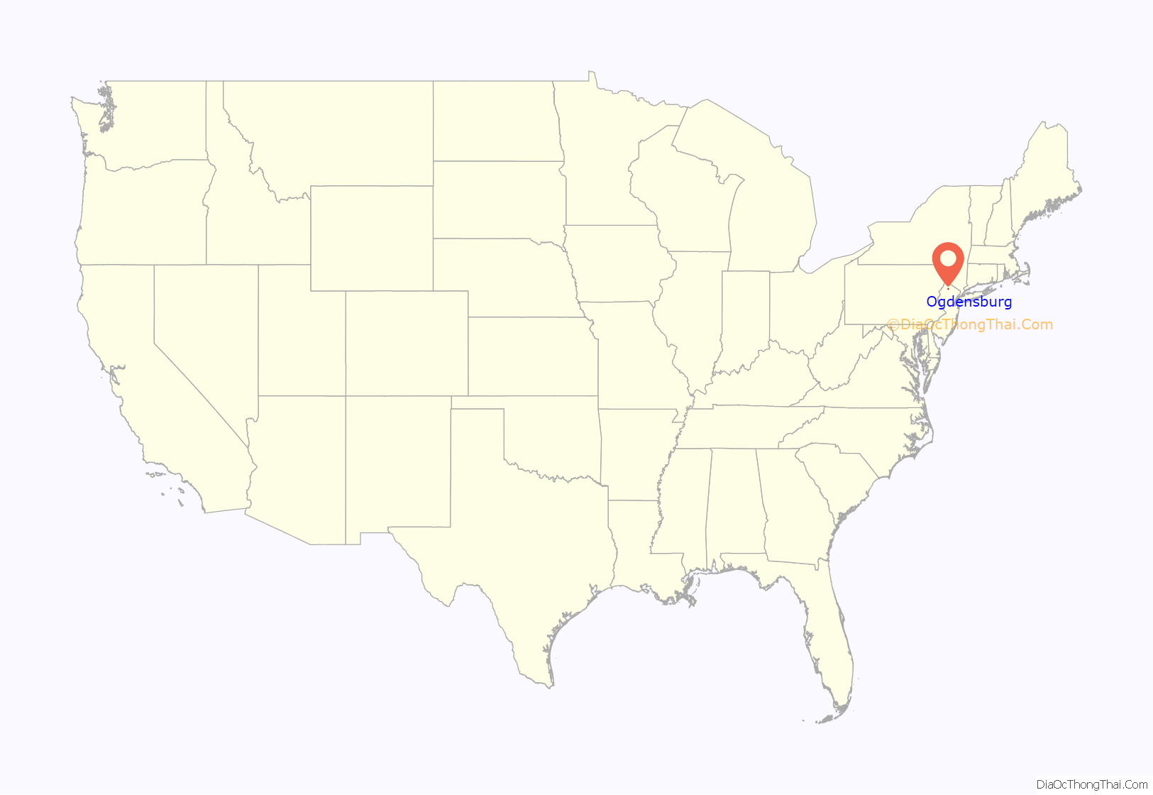
Ogdensburg location map. Where is Ogdensburg borough?
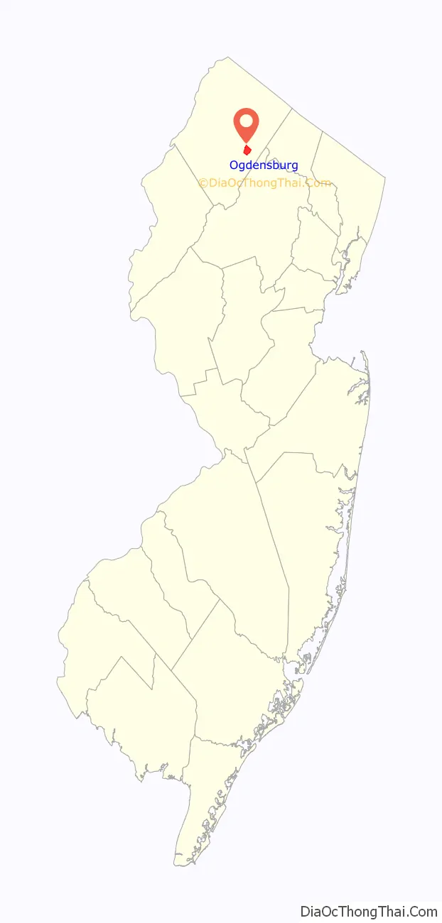
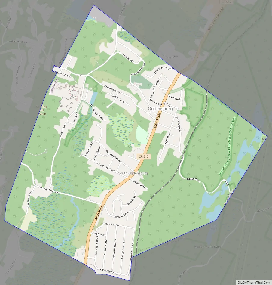
Ogdensburg Road Map
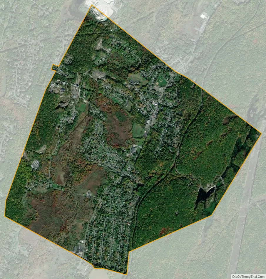
Ogdensburg city Satellite Map
Geography
According to the United States Census Bureau, the borough had a total area of 2.25 square miles (5.82 km), including 2.20 square miles (5.71 km) of land and 0.04 square miles (0.11 km) of water (1.96%).
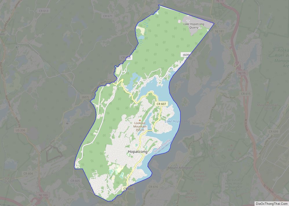
Unincorporated communities, localities and place names located partially or completely within the borough include Heaters Pond, South Ogdensburg and Sterling Hill.
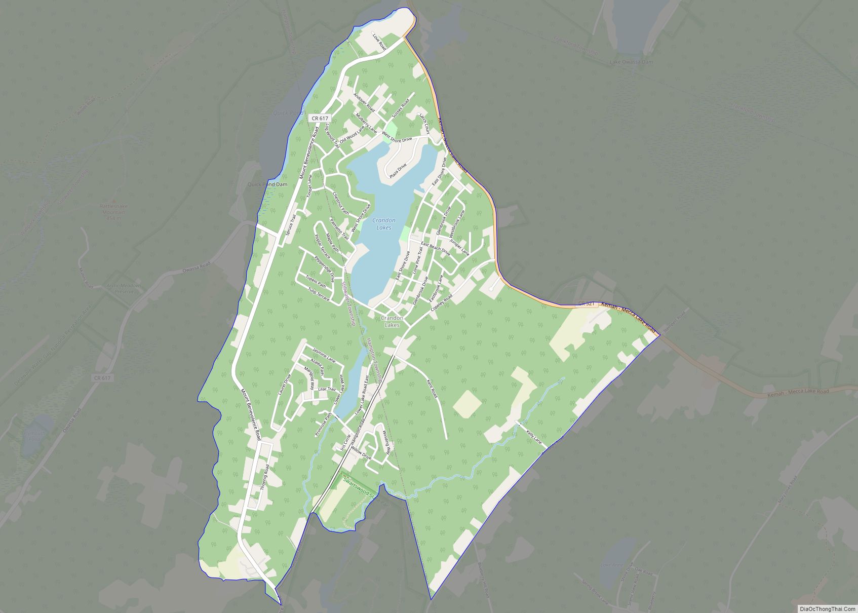
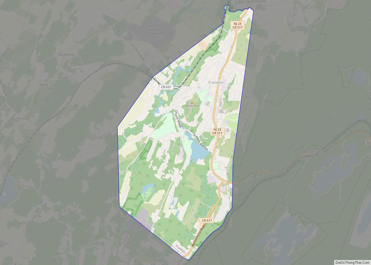
Ogdensburg borders the Sussex County municipalities of Franklin, Hardyston Township and Sparta Township.
Ogdensburgite, an arsenate mineral, was named after the borough.
See also
Map of New Jersey State and its subdivision: Map of other states:- Alabama
- Alaska
- Arizona
- Arkansas
- California
- Colorado
- Connecticut
- Delaware
- District of Columbia
- Florida
- Georgia
- Hawaii
- Idaho
- Illinois
- Indiana
- Iowa
- Kansas
- Kentucky
- Louisiana
- Maine
- Maryland
- Massachusetts
- Michigan
- Minnesota
- Mississippi
- Missouri
- Montana
- Nebraska
- Nevada
- New Hampshire
- New Jersey
- New Mexico
- New York
- North Carolina
- North Dakota
- Ohio
- Oklahoma
- Oregon
- Pennsylvania
- Rhode Island
- South Carolina
- South Dakota
- Tennessee
- Texas
- Utah
- Vermont
- Virginia
- Washington
- West Virginia
- Wisconsin
- Wyoming