Peapack-Gladstone (also written as Peapack and Gladstone) is a borough in Somerset County in the U.S. state of New Jersey. As of the 2020 United States census, the borough’s population was 2,558, a decrease of 24 (−0.9%) from the 2010 census count of 2,582, which in turn reflected an increase of 149 (+6.1%) from the 2,433 counted in the 2000 census.
Peapack-Gladstone was incorporated as a borough by an act of the New Jersey Legislature on March 28, 1912, from portions of Bedminster, subject to the results of a referendum held on April 23, 1912. It is part of the New York metropolitan area, as well as the larger New York–Newark–Bridgeport, NY–New Jersey–CT–PA Combined Statistical Area and it is located within the Raritan Valley region.
Peapack is believed to have been derived from “Peapackton,” a Lenape Native American term meaning “marriage of the waters”, a reference to the confluence of the Peapack Brook and Raritan River in the area. Gladstone was named in honor of William Ewart Gladstone, who served as British Prime Minister several times between 1868 and 1894. In operation until the mid-1930s, the Moses Craig lime kiln is located at the center of Peapack.
| Name: | Peapack and Gladstone borough |
|---|---|
| LSAD Code: | 21 |
| LSAD Description: | borough (suffix) |
| State: | New Jersey |
| County: | Somerset County |
| Incorporated: | April 23, 1912 |
| Elevation: | 243 ft (74 m) |
| Total Area: | 5.80 sq mi (15.03 km²) |
| Land Area: | 5.73 sq mi (14.85 km²) |
| Water Area: | 0.07 sq mi (0.18 km²) 1.21% |
| Total Population: | 2,558 |
| Population Density: | 446.2/sq mi (172.3/km²) |
| Area code: | 908 |
| FIPS code: | 3457300 |
| GNISfeature ID: | 0885345 |
| Website: | www.peapackgladstone.org |
Online Interactive Map
Click on ![]() to view map in "full screen" mode.
to view map in "full screen" mode.
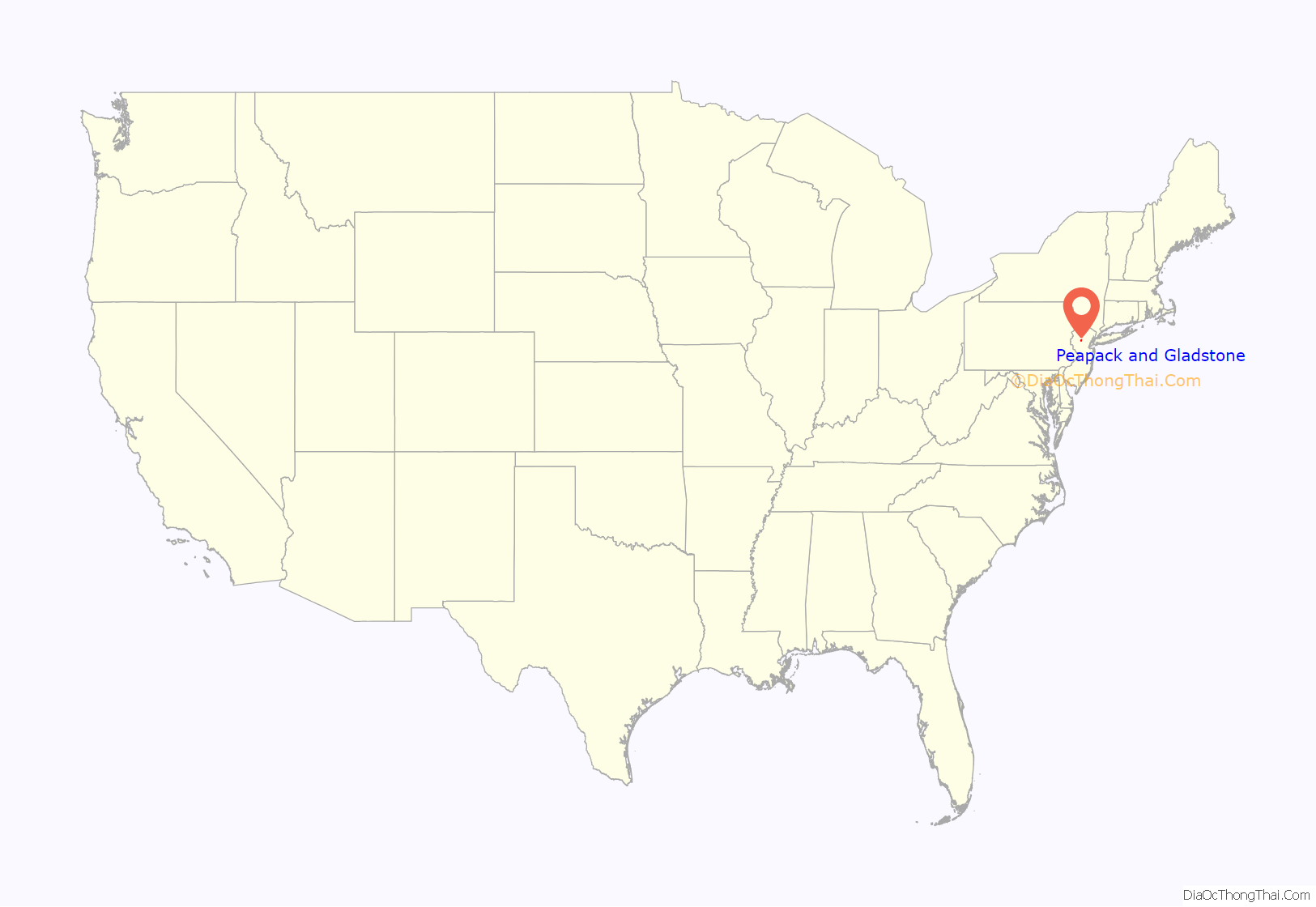
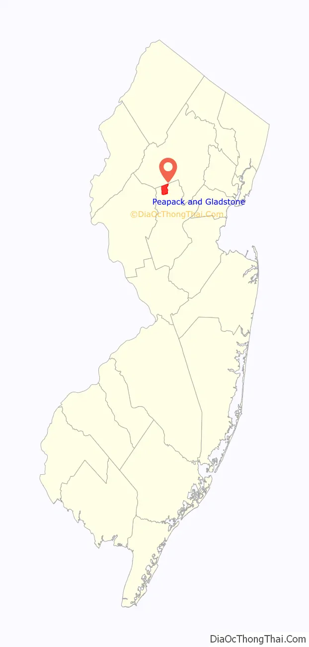
Peapack and Gladstone location map. Where is Peapack and Gladstone borough?
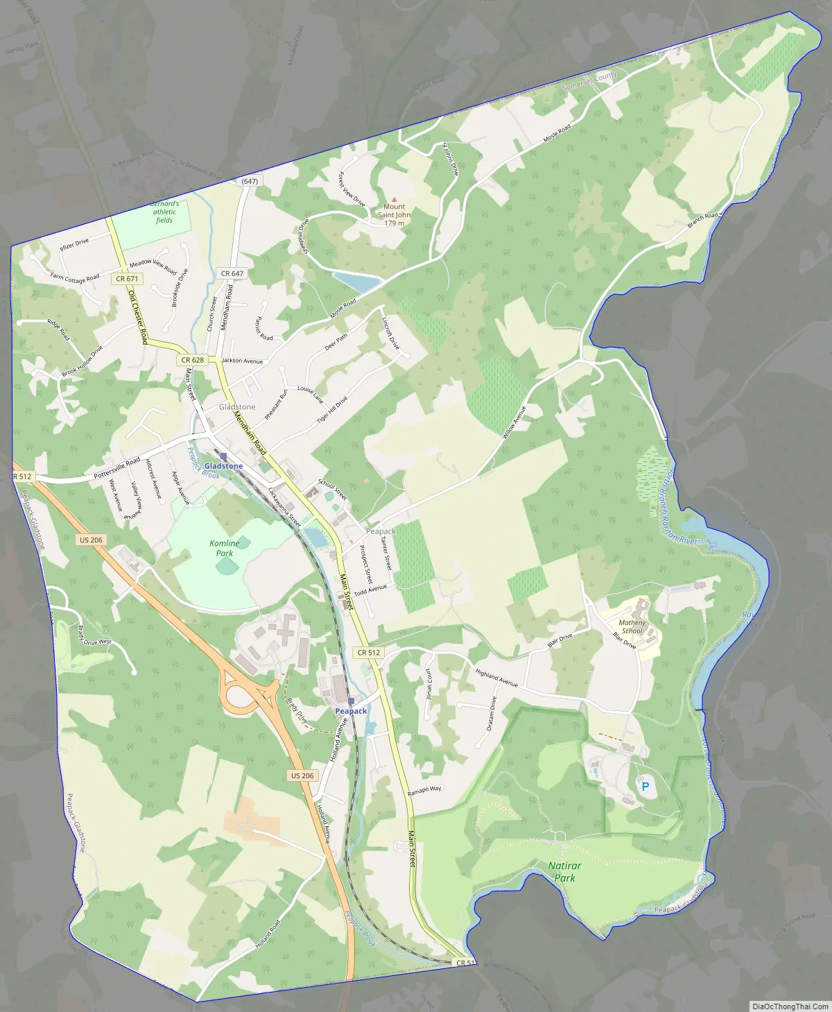
Peapack and Gladstone Road Map
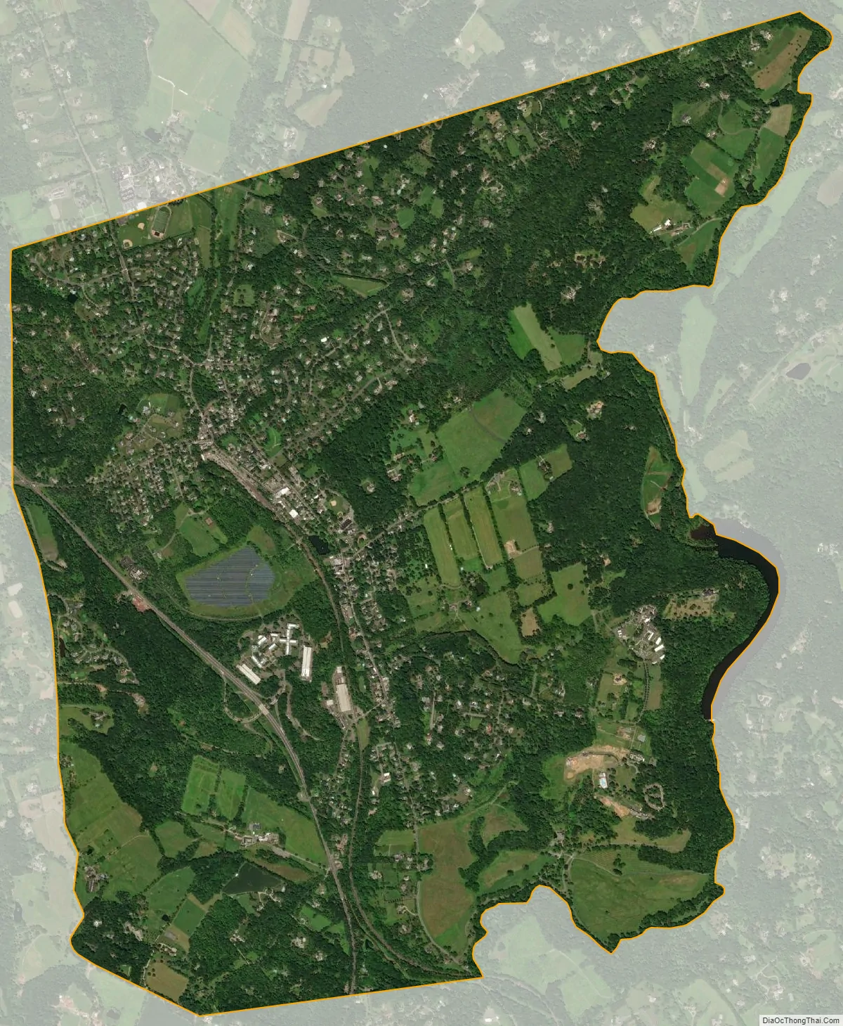
Peapack and Gladstone city Satellite Map
Geography
According to the United States Census Bureau, the borough had a total area of 5.80 square miles (15.03 km), including 5.73 square miles (14.85 km) of land and 0.07 square miles (0.18 km) of water (1.21%).
Unincorporated communities, localities and place names located partially or completely within the township include Gladstone, Peapack and Ravine Lake.
The borough borders Bedminster to the southwest, Bernardsville to the east and Far Hills to the southeast in Somerset County; and Chester Township to the northwest and Mendham Township to the northeast in Morris County.
See also
Map of New Jersey State and its subdivision: Map of other states:- Alabama
- Alaska
- Arizona
- Arkansas
- California
- Colorado
- Connecticut
- Delaware
- District of Columbia
- Florida
- Georgia
- Hawaii
- Idaho
- Illinois
- Indiana
- Iowa
- Kansas
- Kentucky
- Louisiana
- Maine
- Maryland
- Massachusetts
- Michigan
- Minnesota
- Mississippi
- Missouri
- Montana
- Nebraska
- Nevada
- New Hampshire
- New Jersey
- New Mexico
- New York
- North Carolina
- North Dakota
- Ohio
- Oklahoma
- Oregon
- Pennsylvania
- Rhode Island
- South Carolina
- South Dakota
- Tennessee
- Texas
- Utah
- Vermont
- Virginia
- Washington
- West Virginia
- Wisconsin
- Wyoming


