Pitman is a borough in Gloucester County, in the U.S. state of New Jersey. As of the 2020 United States census, the borough’s population was 8,780, a decrease of 231 (−2.6%) from the 2010 census count of 9,011, which in turn reflected a decline of 320 (−3.4%) from the 9,331 in the 2000 census. The borough was named for Rev. Charles Pitman, a Methodist minister.
| Name: | Pitman borough |
|---|---|
| LSAD Code: | 21 |
| LSAD Description: | borough (suffix) |
| State: | New Jersey |
| County: | Gloucester County |
| Incorporated: | May 24, 1905 |
| Elevation: | 125 ft (38 m) |
| Total Area: | 2.26 sq mi (5.85 km²) |
| Land Area: | 2.22 sq mi (5.75 km²) |
| Water Area: | 0.04 sq mi (0.11 km²) 1.81% |
| Total Population: | 8,780 |
| Population Density: | 3,958.5/sq mi (1,528.4/km²) |
| ZIP code: | 08071 |
| Area code: | 856 |
| FIPS code: | 3459070 |
| GNISfeature ID: | 0885354 |
| Website: | www.pitman.org |
Online Interactive Map
Click on ![]() to view map in "full screen" mode.
to view map in "full screen" mode.
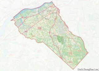
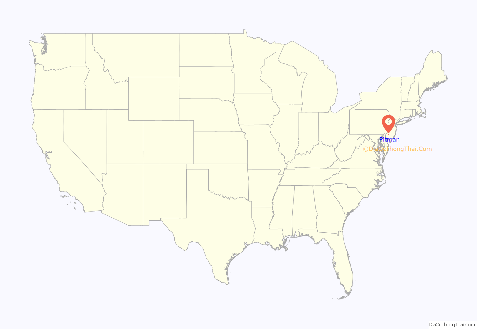
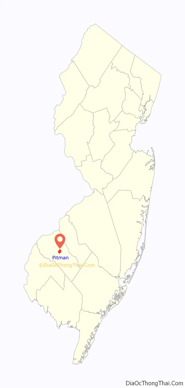
Pitman location map. Where is Pitman borough?
History
In 1871, land was chosen in both Glassboro and Mantua Township to be set aside for a Methodist summer camp meeting. The New Jersey Conference Camp Meeting Association was officially chartered and given authority over the land grant in 1872, and began planning the campground and organizing meetings. The land had an auditorium located on a central meeting ground, and twelve roads originated from the central area as spokes on a wheel.
This area became known as the Pitman Grove, and while worshipers’ tents originally lined each of the twelve roads, cottages slowly replaced the tents and formed the foundation of the town of Pitman. By the 1880s, the number of cottages had climbed to 400 and residents had begun staying year-round, both of which led to the establishment of the first public school in 1884. By 1887, businesses had cropped up north of the Grove in an area then-named Arbutus Hill, and in 1892, Alcyon Park was established. The Grove directors resisted the secularization of the Methodist retreat, but in 1904, Grove residents voted 122 to 35 for incorporation as an autonomous borough. On May 24, 1905, Governor of New Jersey Edward C. Stokes signed a law granting the incorporation.
The Pitman Grove was added to the National Register of Historic Places in 1977.
Until August 2014, Pitman was a dry town. In 2015, the borough council authorized an ordinance permitting liquor licenses and a pair of local breweries opened in Pitman’s Uptown business district in 2016 under the terms of a state law that allows the sale of beer by the glass in tasting rooms. In November 2016, nearly 65% of voters approved a non-binding referendum allowing the issuance of liquor licenses.
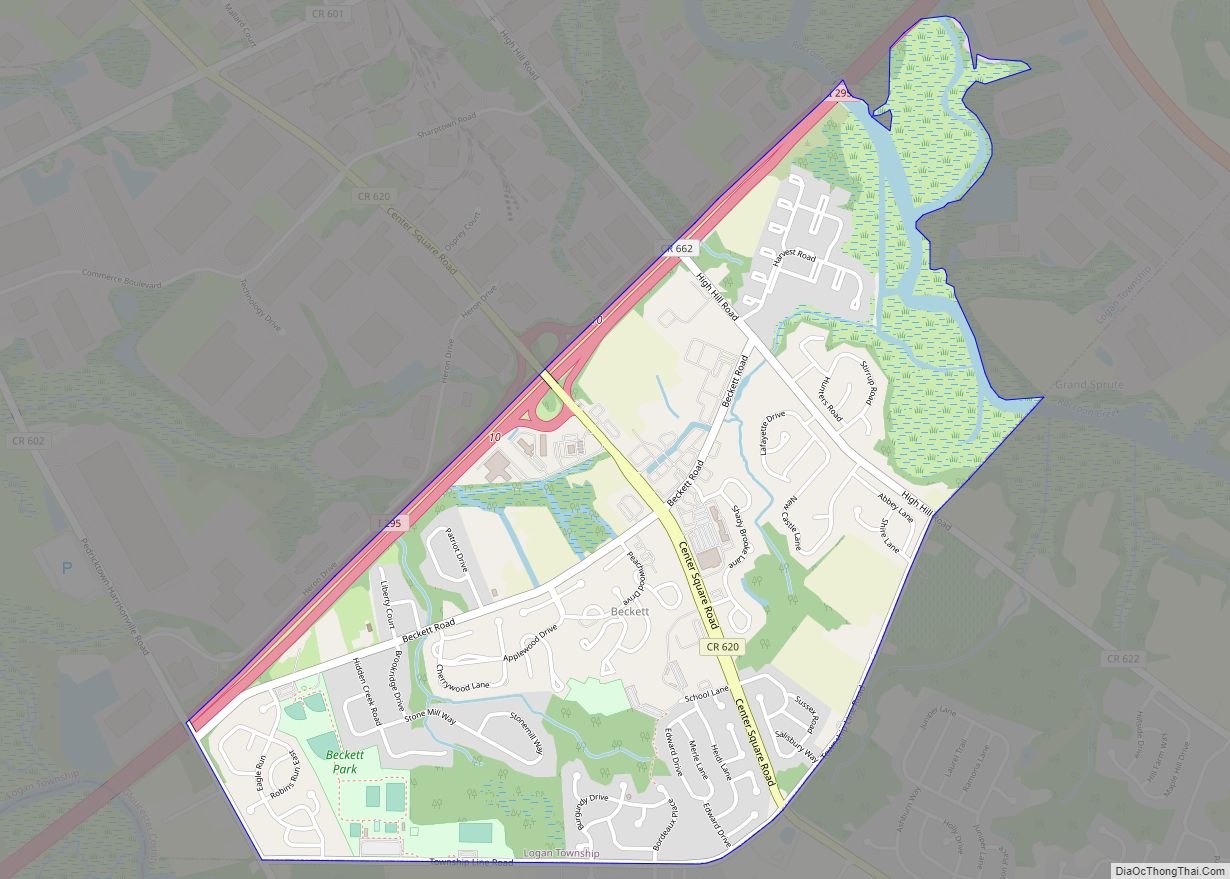
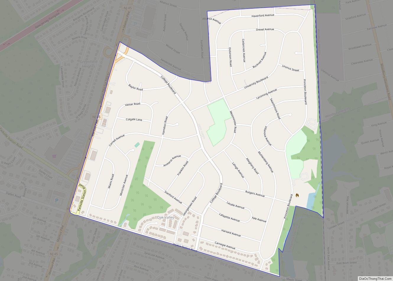
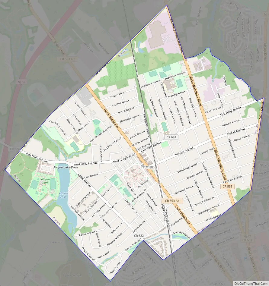
Pitman Road Map
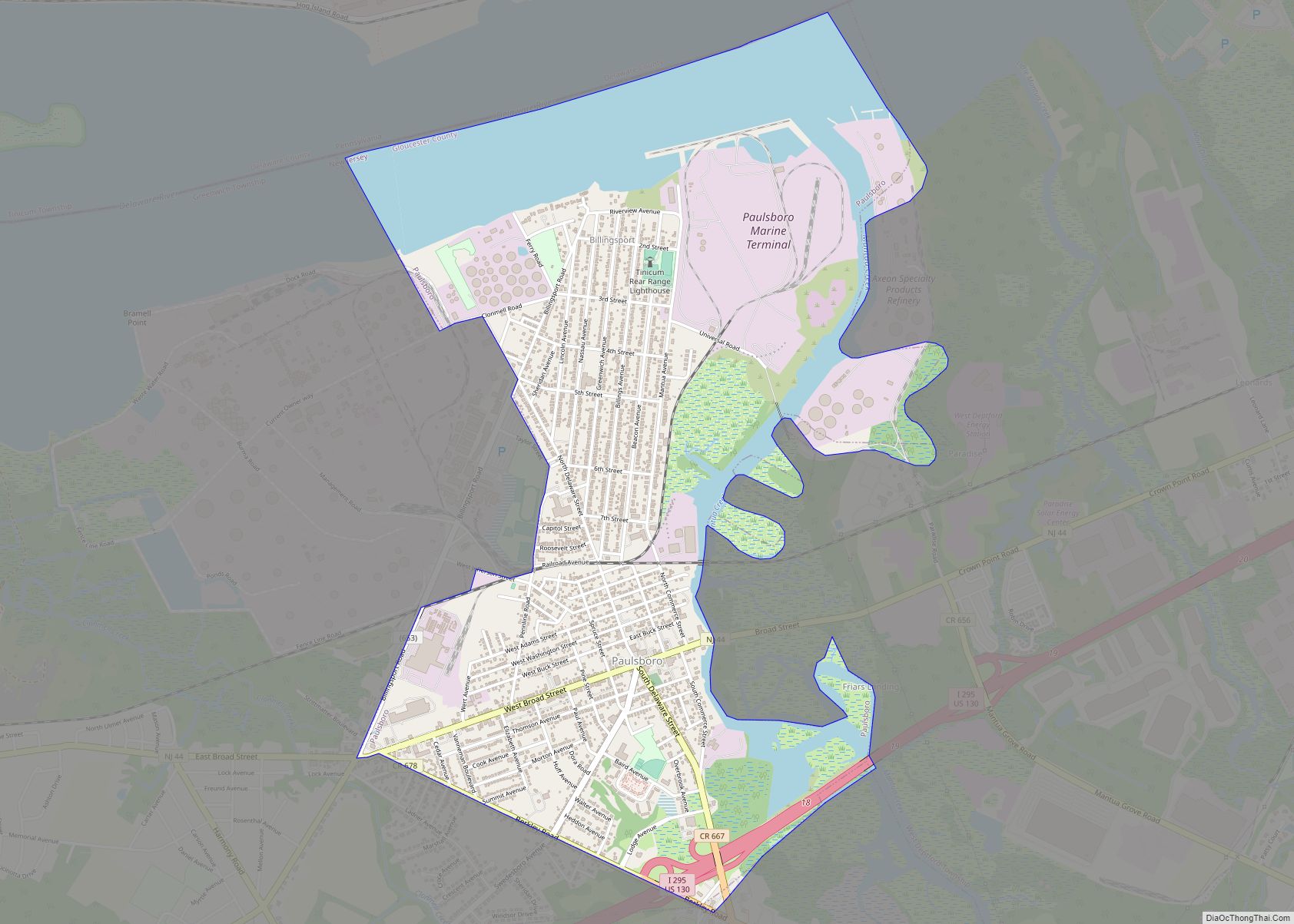
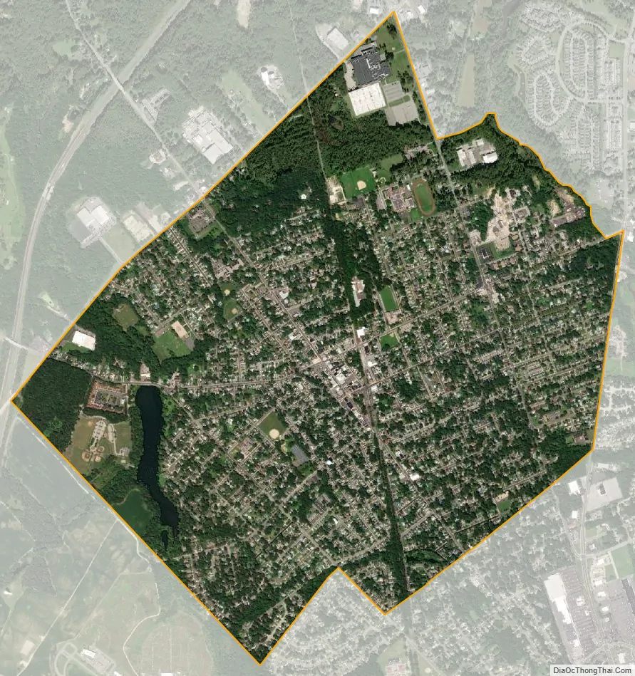
Pitman city Satellite Map
Geography
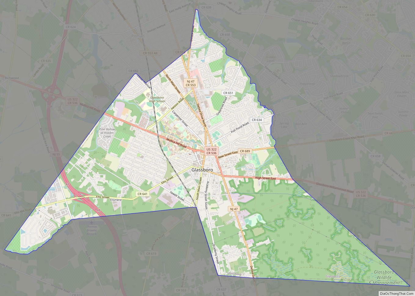
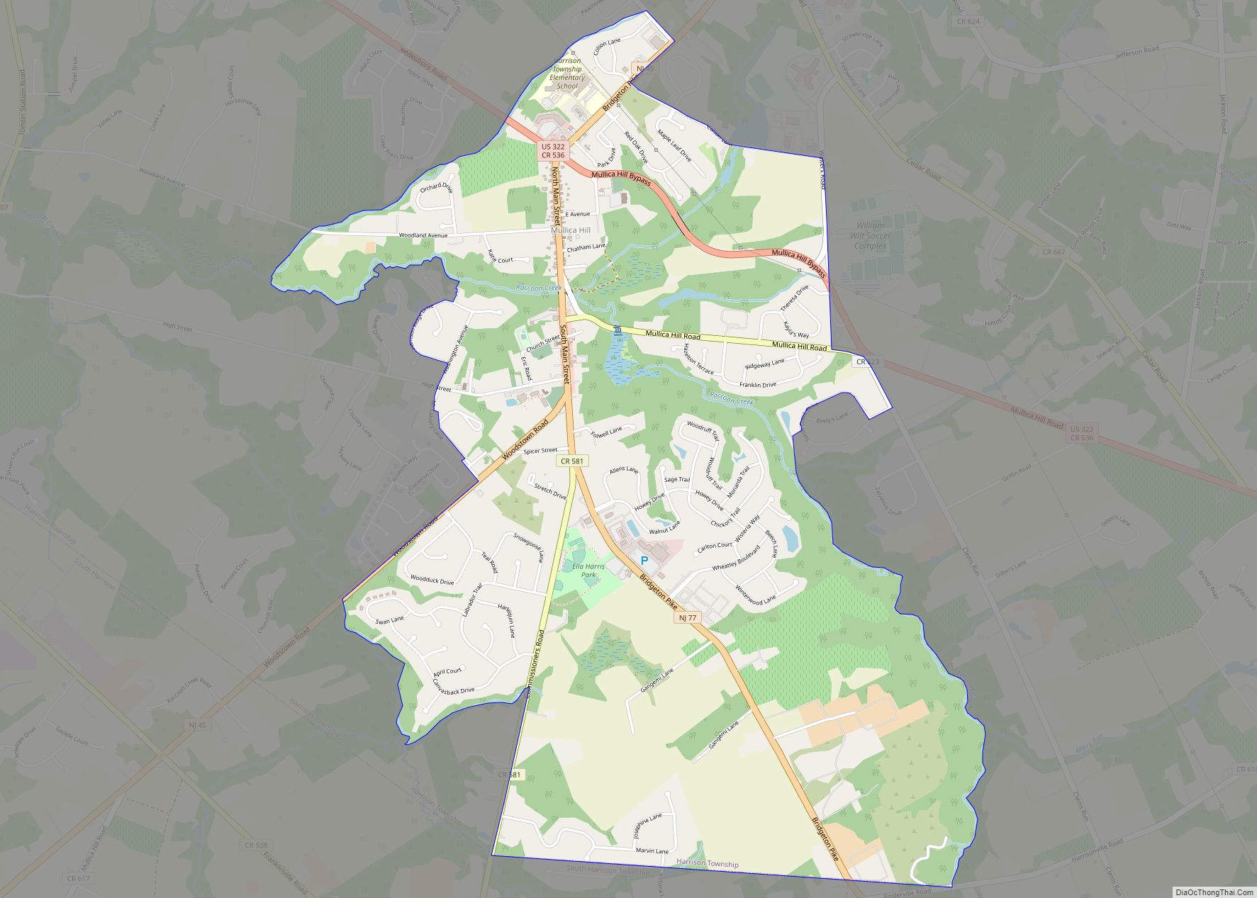
According to the U.S. Census Bureau, the borough had a total area of 2.26 square miles (5.85 km), including 2.22 square miles (5.75 km) of land and 0.04 square miles (0.11 km) of water (1.81%). The borough borders the Gloucester County municipalities of Glassboro, Mantua Township, and Washington Township.
See also
Map of New Jersey State and its subdivision: Map of other states:- Alabama
- Alaska
- Arizona
- Arkansas
- California
- Colorado
- Connecticut
- Delaware
- District of Columbia
- Florida
- Georgia
- Hawaii
- Idaho
- Illinois
- Indiana
- Iowa
- Kansas
- Kentucky
- Louisiana
- Maine
- Maryland
- Massachusetts
- Michigan
- Minnesota
- Mississippi
- Missouri
- Montana
- Nebraska
- Nevada
- New Hampshire
- New Jersey
- New Mexico
- New York
- North Carolina
- North Dakota
- Ohio
- Oklahoma
- Oregon
- Pennsylvania
- Rhode Island
- South Carolina
- South Dakota
- Tennessee
- Texas
- Utah
- Vermont
- Virginia
- Washington
- West Virginia
- Wisconsin
- Wyoming