Richwood is an unincorporated community and census-designated place (CDP) located in Gloucester County, New Jersey, United States, that is split between Harrison Township (with 3,400 of the CDP’s residents) and Mantua Township (with 59 of the total). As of the 2020 United States census, the CDP’s population was 3,577, an increase of 118 (+3.4%) from the 3,459 enumerated at the 2010 U.S. census.
| Name: | Richwood CDP |
|---|---|
| LSAD Code: | 57 |
| LSAD Description: | CDP (suffix) |
| State: | New Jersey |
| County: | Gloucester County |
| Elevation: | 138 ft (42 m) |
| Total Area: | 8.91 sq mi (23.09 km²) |
| Land Area: | 8.86 sq mi (22.94 km²) |
| Water Area: | 0.06 sq mi (0.15 km²) 0.68% |
| Total Population: | 3,577 |
| Population Density: | 403.7/sq mi (155.9/km²) |
| ZIP code: | 08074 |
| Area code: | 856 |
| FIPS code: | 3462820 |
| GNISfeature ID: | 02584022 |
Online Interactive Map
Click on ![]() to view map in "full screen" mode.
to view map in "full screen" mode.
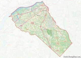
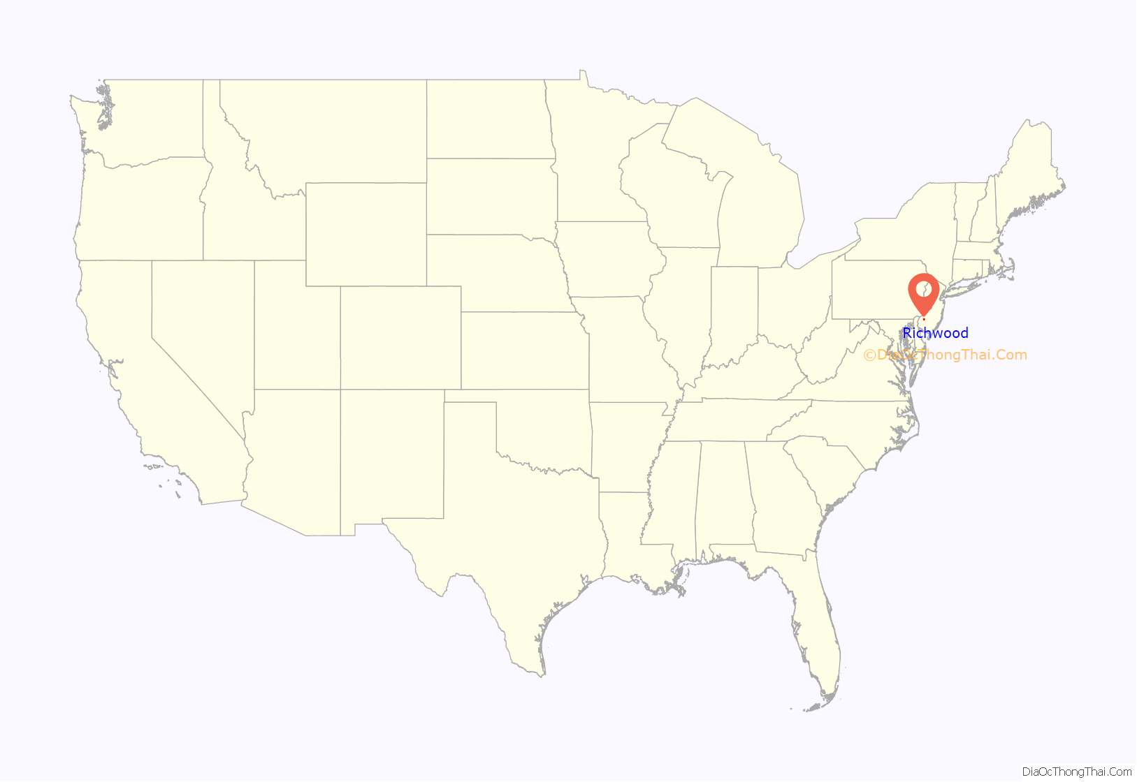
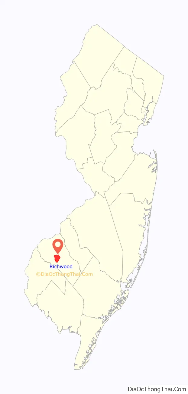
Richwood location map. Where is Richwood CDP?
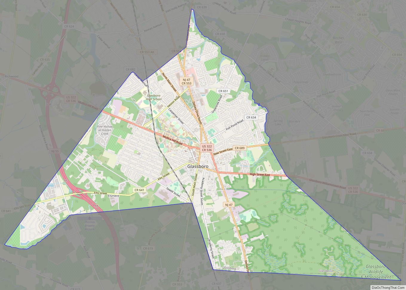
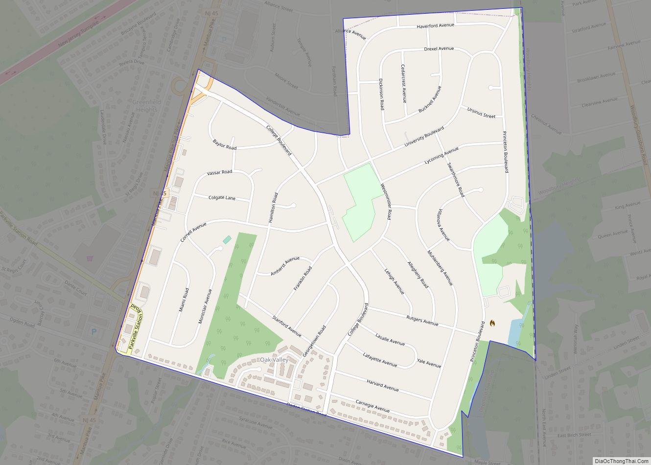
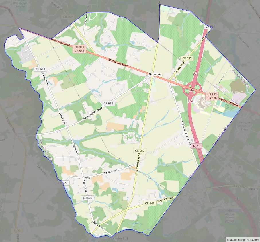
Richwood Road Map
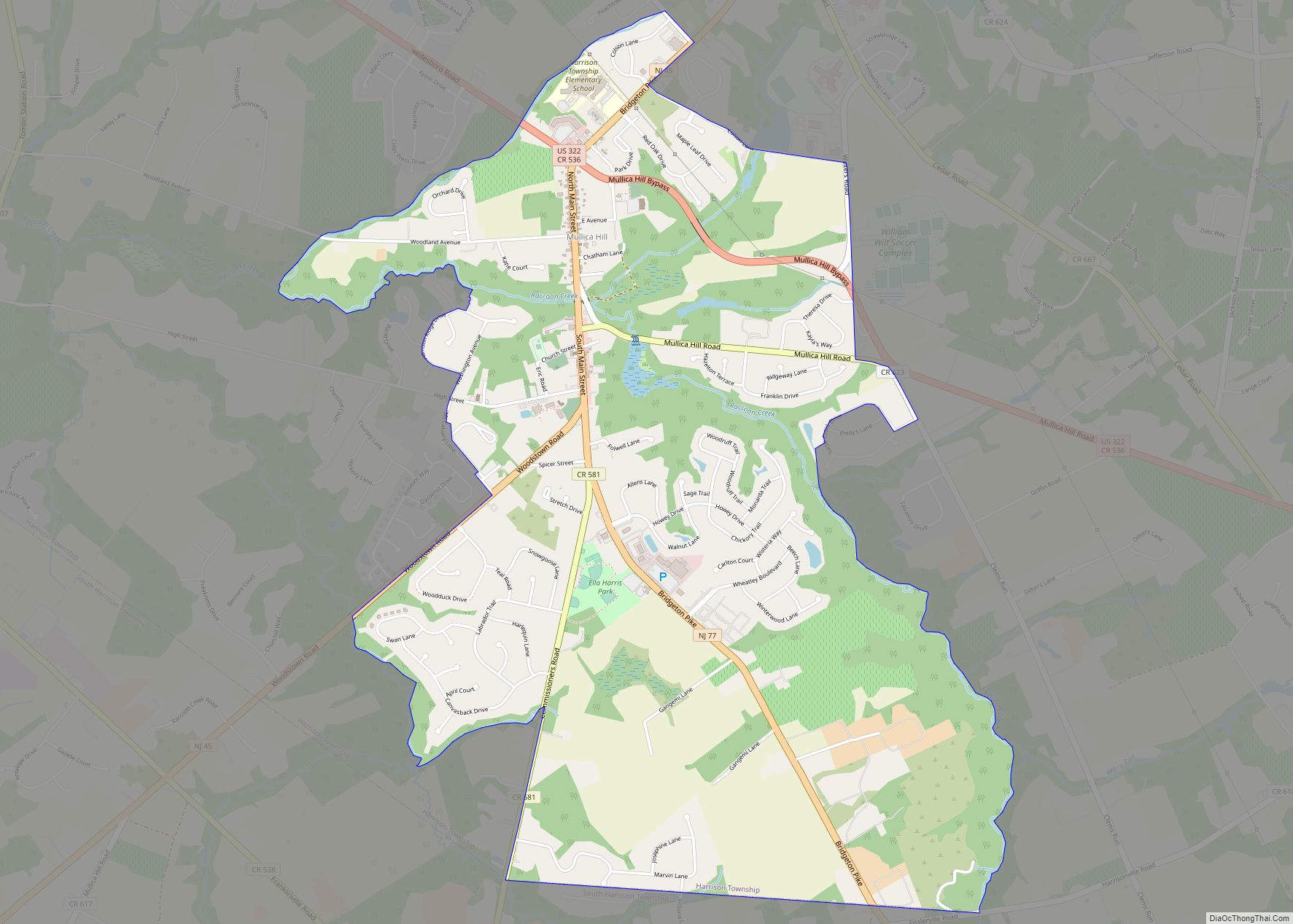
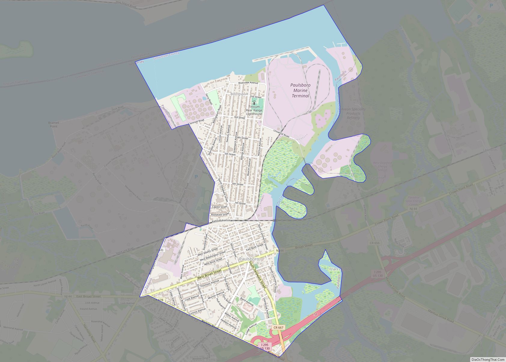
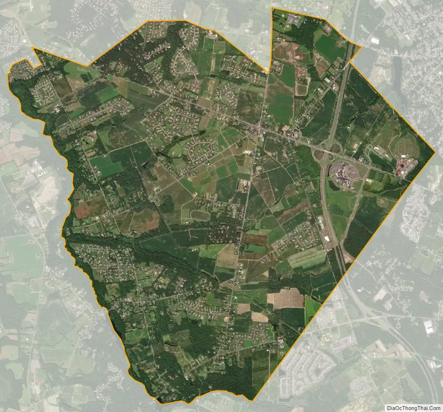
Richwood city Satellite Map
Geography
According to the United States Census Bureau, the CDP had a total area of 8.910 square miles (23.077 km), including 8.850 square miles (22.921 km) of land and 0.060 square miles (0.157 km) of water (0.68%).
See also
Map of New Jersey State and its subdivision: Map of other states:- Alabama
- Alaska
- Arizona
- Arkansas
- California
- Colorado
- Connecticut
- Delaware
- District of Columbia
- Florida
- Georgia
- Hawaii
- Idaho
- Illinois
- Indiana
- Iowa
- Kansas
- Kentucky
- Louisiana
- Maine
- Maryland
- Massachusetts
- Michigan
- Minnesota
- Mississippi
- Missouri
- Montana
- Nebraska
- Nevada
- New Hampshire
- New Jersey
- New Mexico
- New York
- North Carolina
- North Dakota
- Ohio
- Oklahoma
- Oregon
- Pennsylvania
- Rhode Island
- South Carolina
- South Dakota
- Tennessee
- Texas
- Utah
- Vermont
- Virginia
- Washington
- West Virginia
- Wisconsin
- Wyoming