Roebling is an unincorporated community and census-designated place (CDP) located within Florence Township, in Burlington County, New Jersey, United States, that was established as part of the 2010 United States census. As of the 2000 United States census, the CDP was combined as Florence-Roebling, which had a total population of 8,200. As of the 2010 Census, the Florence-Roebling CDP was split into its components, Florence (with a population of 4,426) and Roebling. As of the 2010 Census, the population of the Florence CDP was 4,426.
| Name: | Roebling CDP |
|---|---|
| LSAD Code: | 57 |
| LSAD Description: | CDP (suffix) |
| State: | New Jersey |
| County: | Burlington County |
| Elevation: | 43 ft (13 m) |
| Total Area: | 1.15 sq mi (2.97 km²) |
| Land Area: | 0.99 sq mi (2.57 km²) |
| Water Area: | 0.16 sq mi (0.41 km²) 14.07% |
| Total Population: | 3,585 |
| Population Density: | 3,617.56/sq mi (1,397.24/km²) |
| ZIP code: | 08554 |
| Area code: | 609/640 |
| FIPS code: | 3464350 |
| GNISfeature ID: | 02584023 |
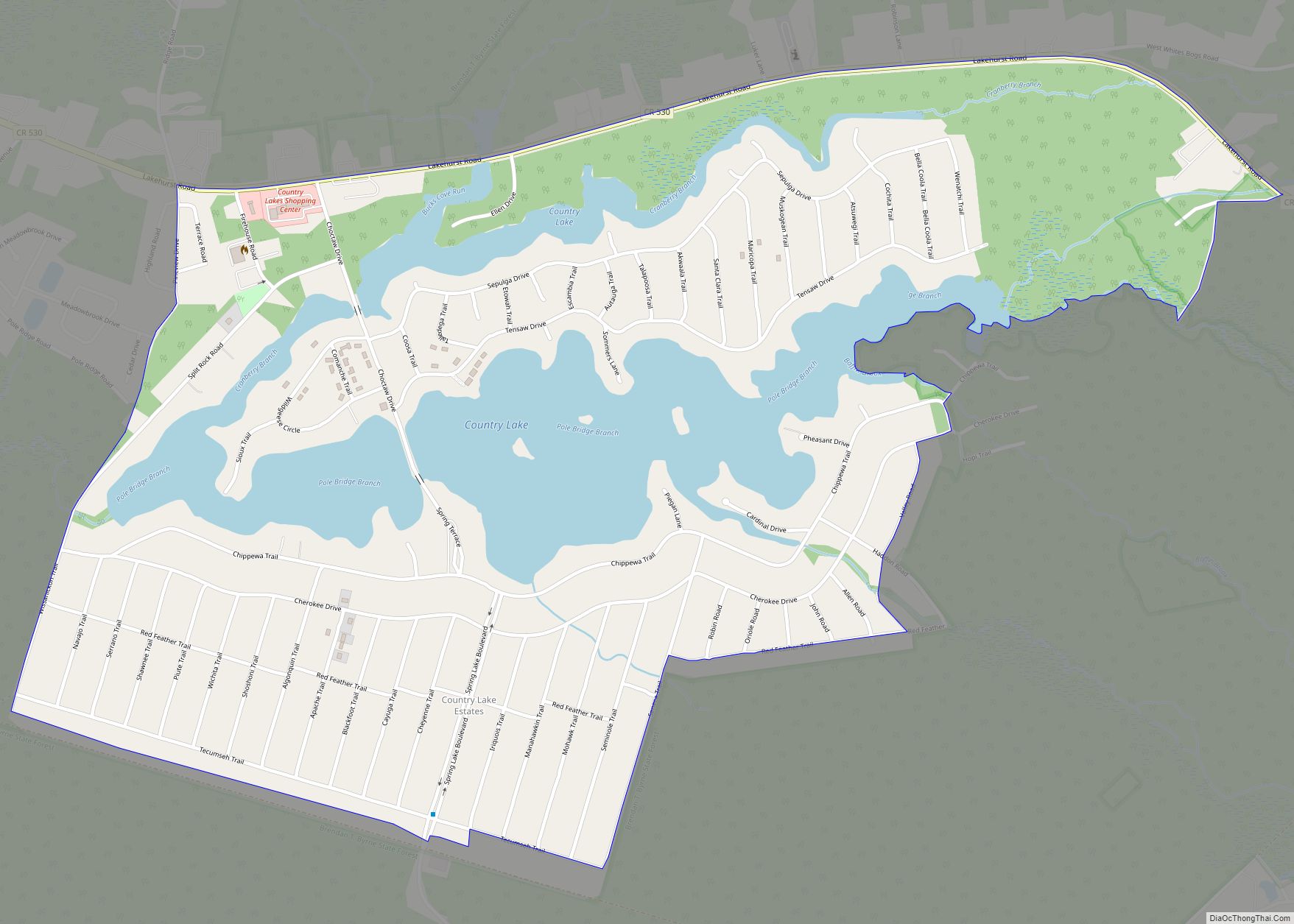
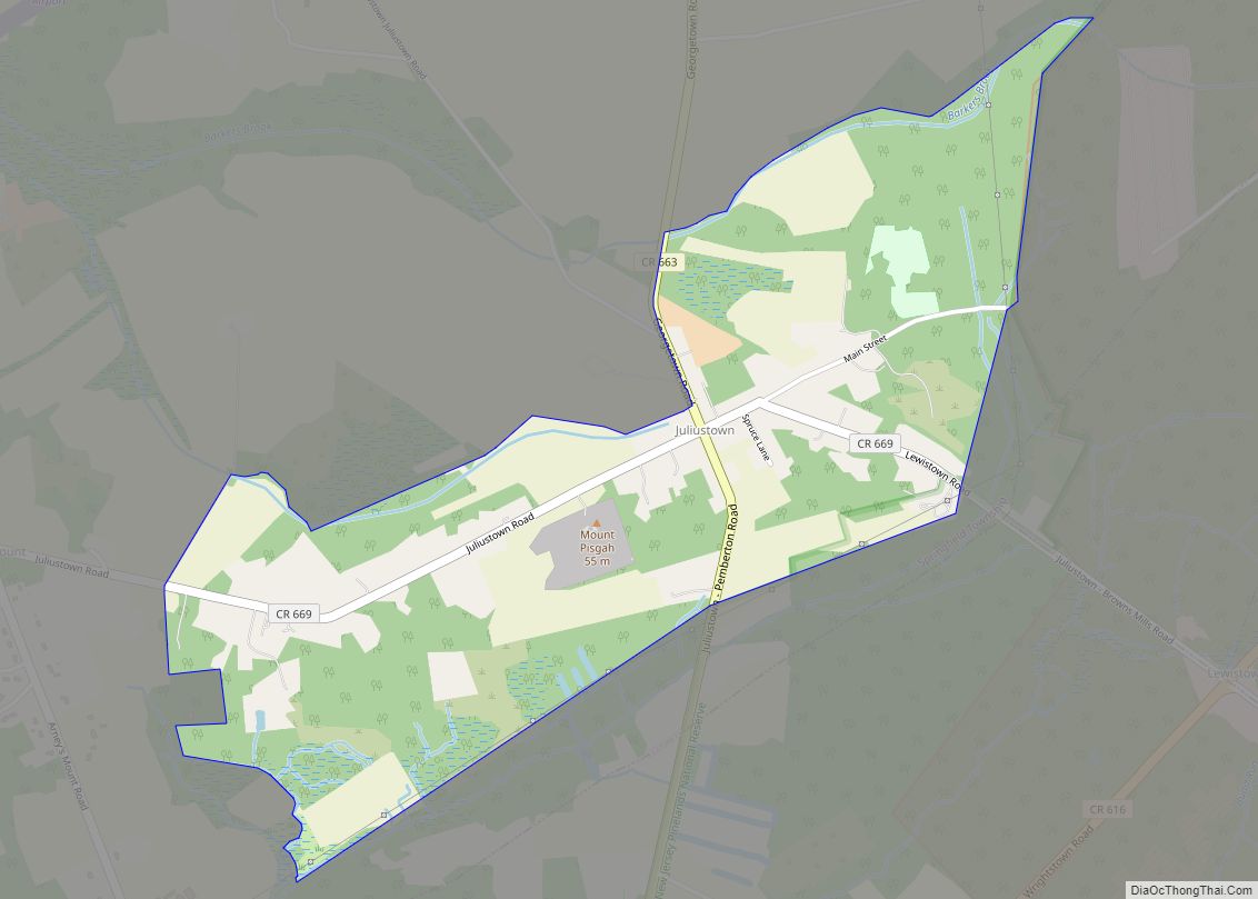
Online Interactive Map
Click on ![]() to view map in "full screen" mode.
to view map in "full screen" mode.
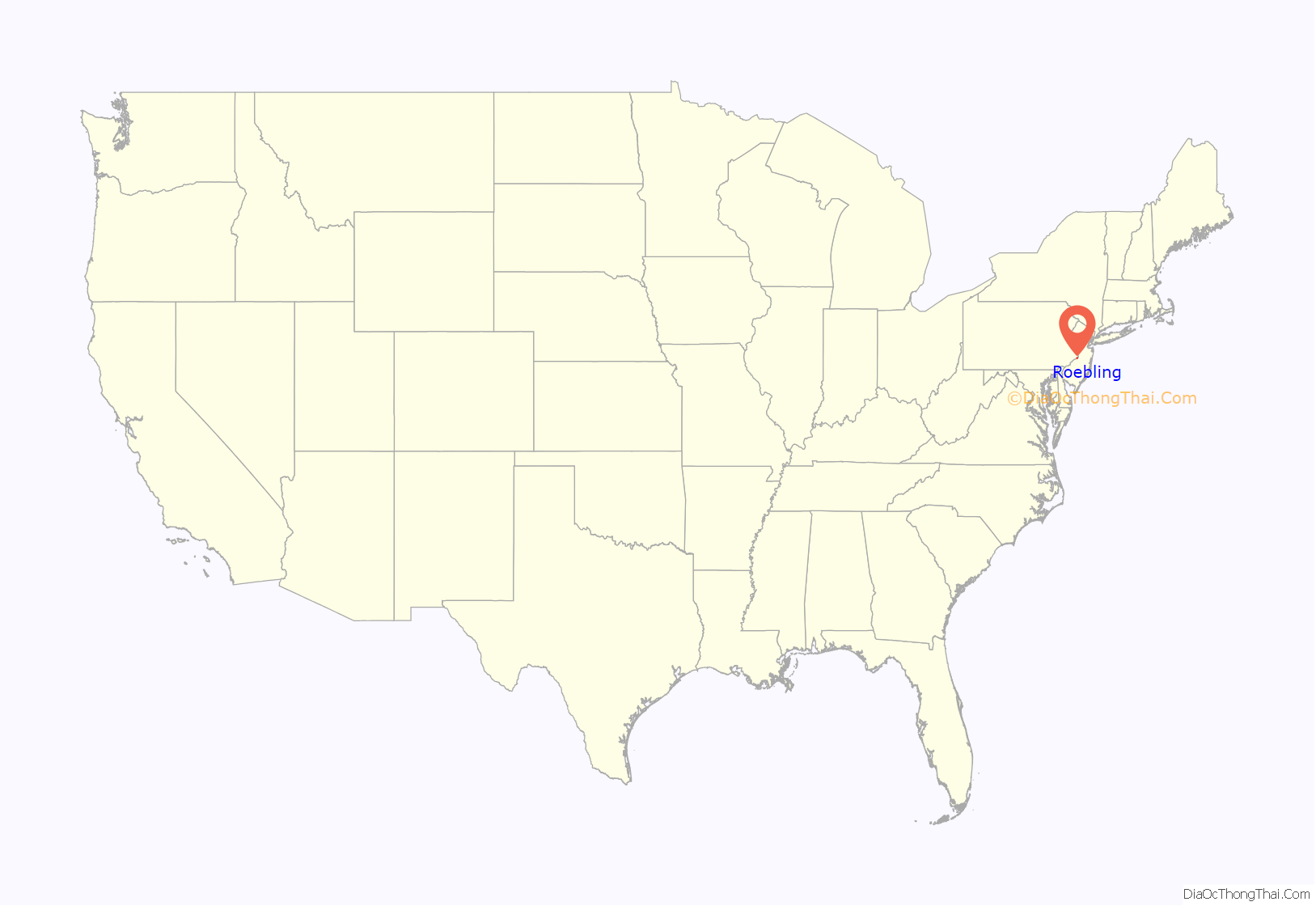
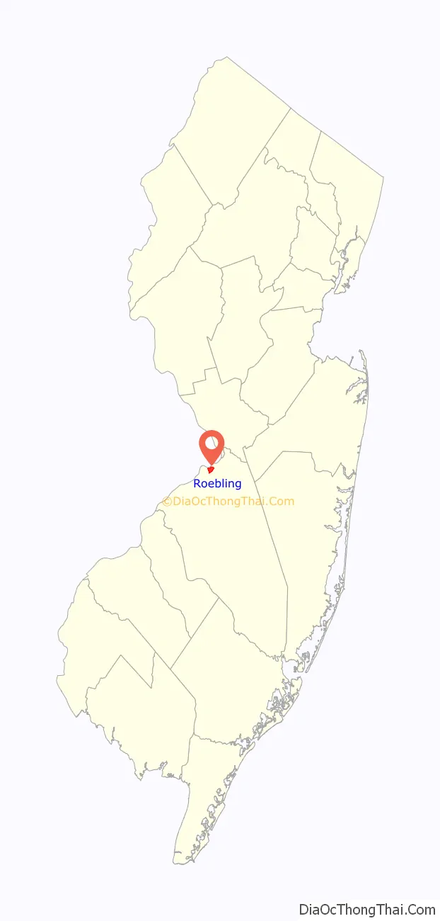
Roebling location map. Where is Roebling CDP?
History
Roebling, site of the Roebling Steel Mill, the Kinkora Works, was founded by Charles Roebling, son of John A. Roebling. John A. Roebling & Sons company built and provided the steel for the Brooklyn Bridge, the Golden Gate Bridge, as well as numerous other bridges including one over Niagara Falls.
The steel mill was also responsible for the production of the elevator cables for the Empire State Building in New York City, the Chicago Board of Trade Building in Chicago and the Washington Monument in Washington, D.C. John A. Roebling & Sons company made the wire for the original slinky as well.
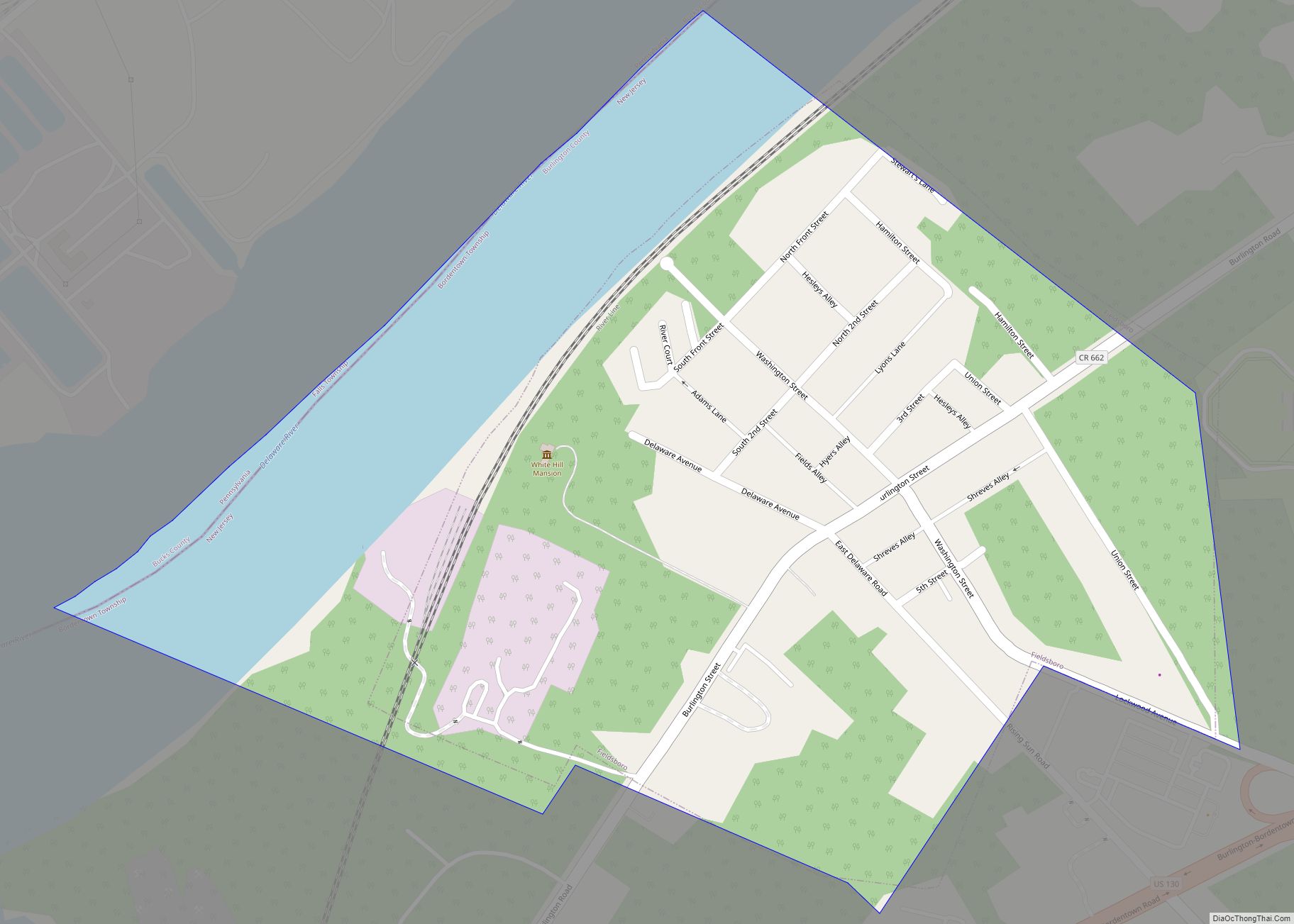
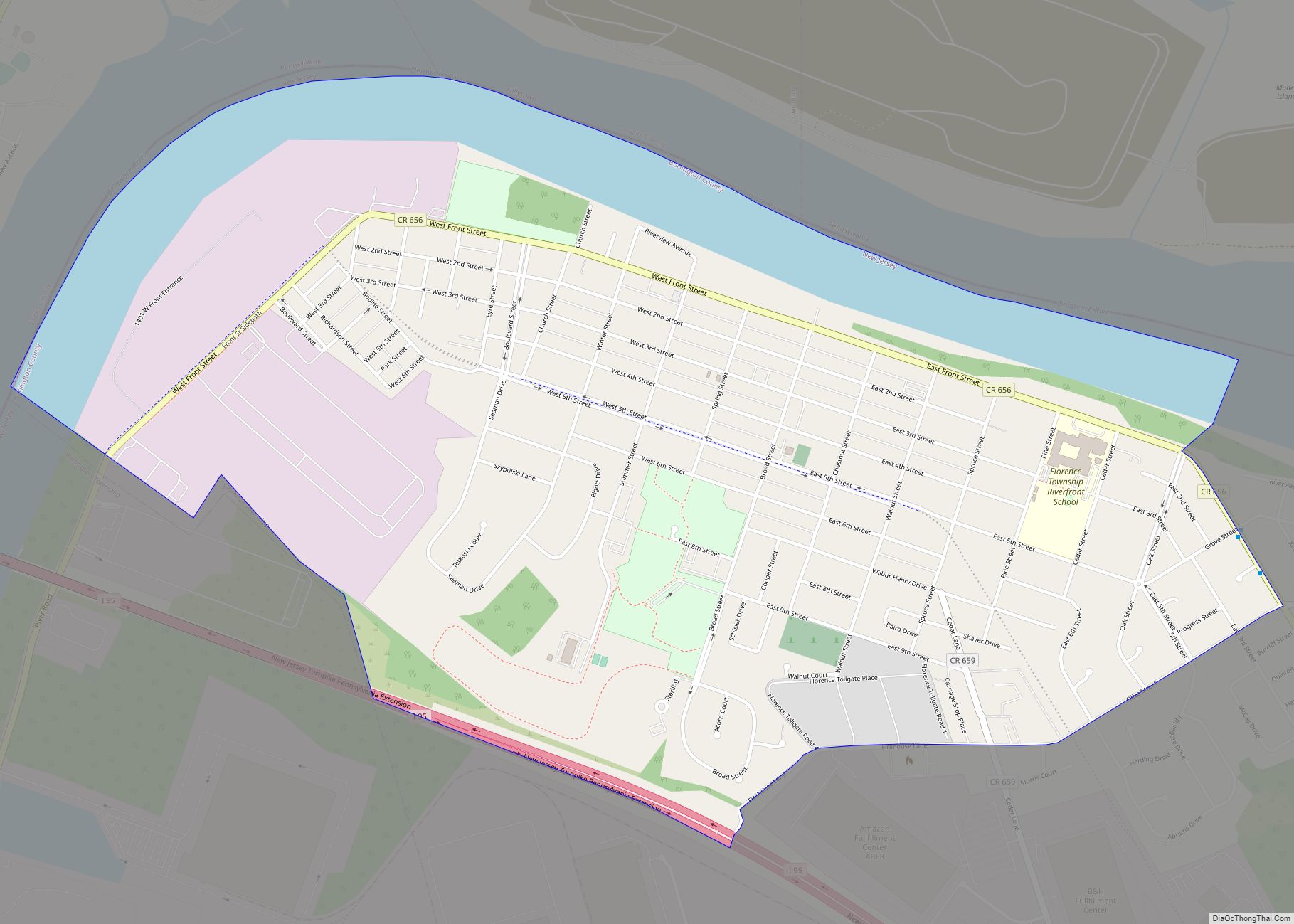
Roebling Road Map

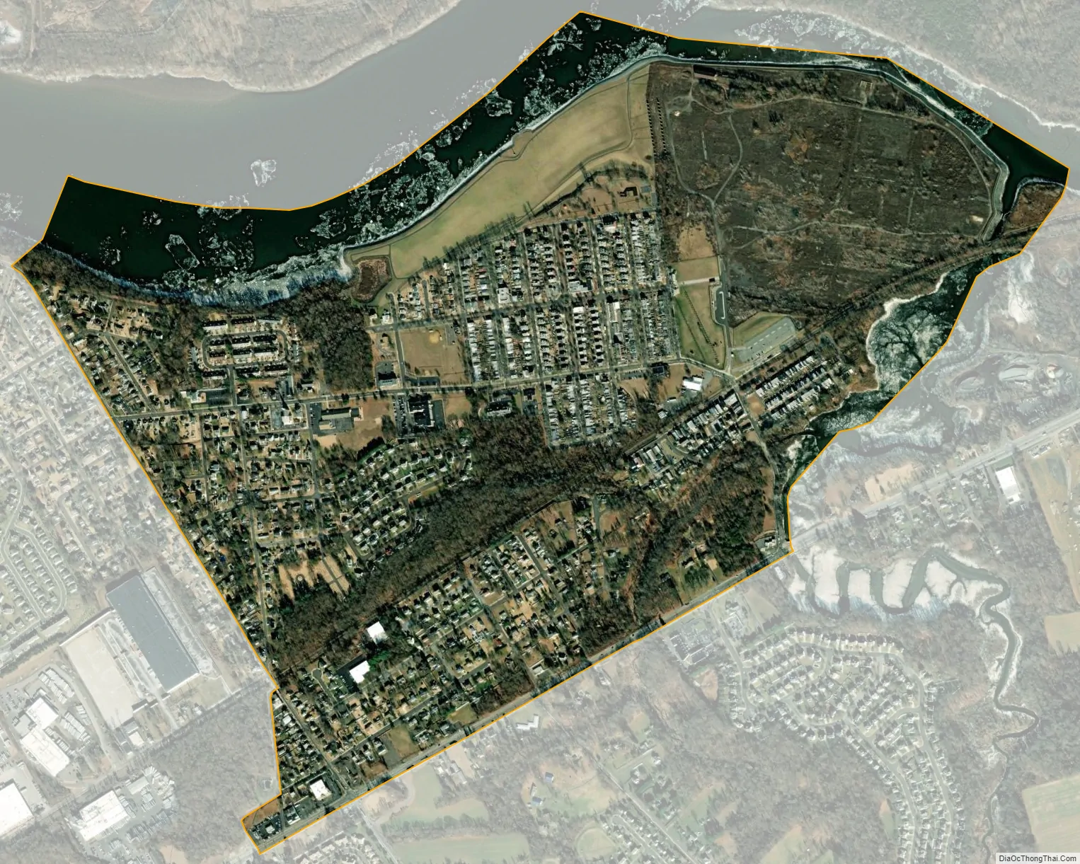
Roebling city Satellite Map
Geography
According to the United States Census Bureau, the CDP had a total area of 1.173 square miles (3.036 km), including 1.008 square miles (2.610 km) of land and 0.165 square miles (0.426 km) of water (14.07%).
See also
Map of New Jersey State and its subdivision: Map of other states:- Alabama
- Alaska
- Arizona
- Arkansas
- California
- Colorado
- Connecticut
- Delaware
- District of Columbia
- Florida
- Georgia
- Hawaii
- Idaho
- Illinois
- Indiana
- Iowa
- Kansas
- Kentucky
- Louisiana
- Maine
- Maryland
- Massachusetts
- Michigan
- Minnesota
- Mississippi
- Missouri
- Montana
- Nebraska
- Nevada
- New Hampshire
- New Jersey
- New Mexico
- New York
- North Carolina
- North Dakota
- Ohio
- Oklahoma
- Oregon
- Pennsylvania
- Rhode Island
- South Carolina
- South Dakota
- Tennessee
- Texas
- Utah
- Vermont
- Virginia
- Washington
- West Virginia
- Wisconsin
- Wyoming