Sewaren (pronounced SEE-waren) is an unincorporated community and census-designated place (CDP) within Woodbridge Township, in Middlesex County, New Jersey, United States. As of the 2010 United States Census, the CDP’s population was 2,756.
PSE&G’s Sewaren Generating Station is a 538 megawatt facility on 152 acres (62 ha) along the Arthur Kill. The facility had five steam generators and one combustion turbine. Four of the steam units were installed during and just after World War II, from 1942 to 1951. Generator 5, which included a gas/oil-fired boiler and two turbine generators, was dismantled in 2002. Seawaren Unit #7: installed 2018, 538 MW, Combined cycle combustion turbine, with one combustion turbine, one heat recovery steam generator, HRSG, And one steam turbine..
| Name: | Sewaren CDP |
|---|---|
| LSAD Code: | 57 |
| LSAD Description: | CDP (suffix) |
| State: | New Jersey |
| County: | Middlesex County |
| Elevation: | 16 ft (5 m) |
| Total Area: | 1.66 sq mi (4.30 km²) |
| Land Area: | 1.22 sq mi (3.16 km²) |
| Water Area: | 0.44 sq mi (1.13 km²) 5.02% |
| Total Population: | 2,885 |
| Population Density: | 2,360.88/sq mi (911.70/km²) |
| ZIP code: | 07077 |
| Area code: | 732/848 |
| FIPS code: | 3466720 |
| GNISfeature ID: | 02390280 |
Online Interactive Map
Click on ![]() to view map in "full screen" mode.
to view map in "full screen" mode.
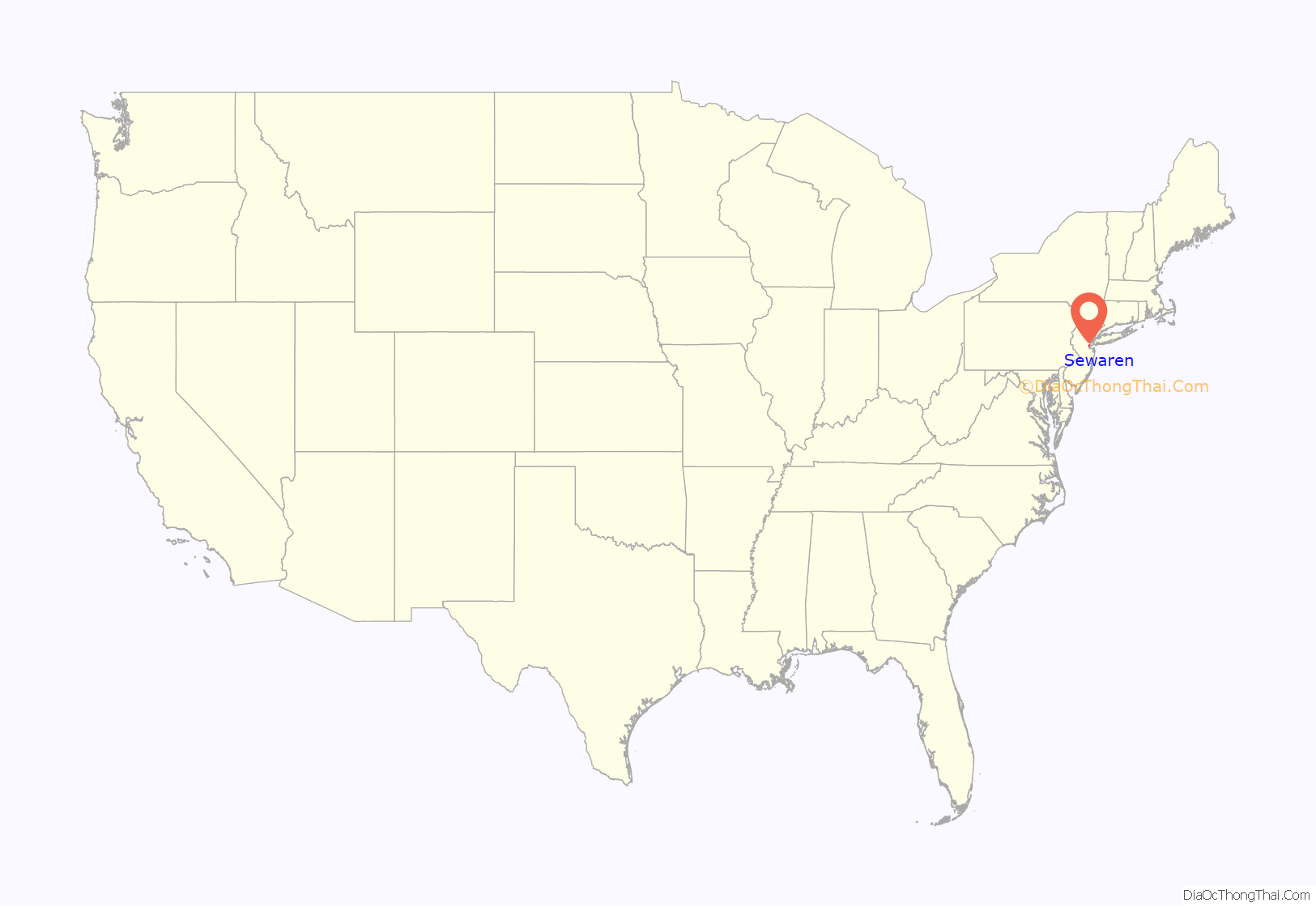
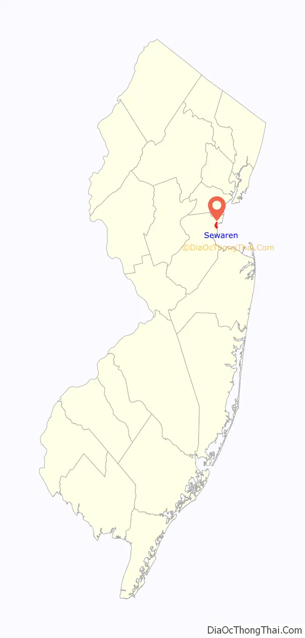
Sewaren location map. Where is Sewaren CDP?
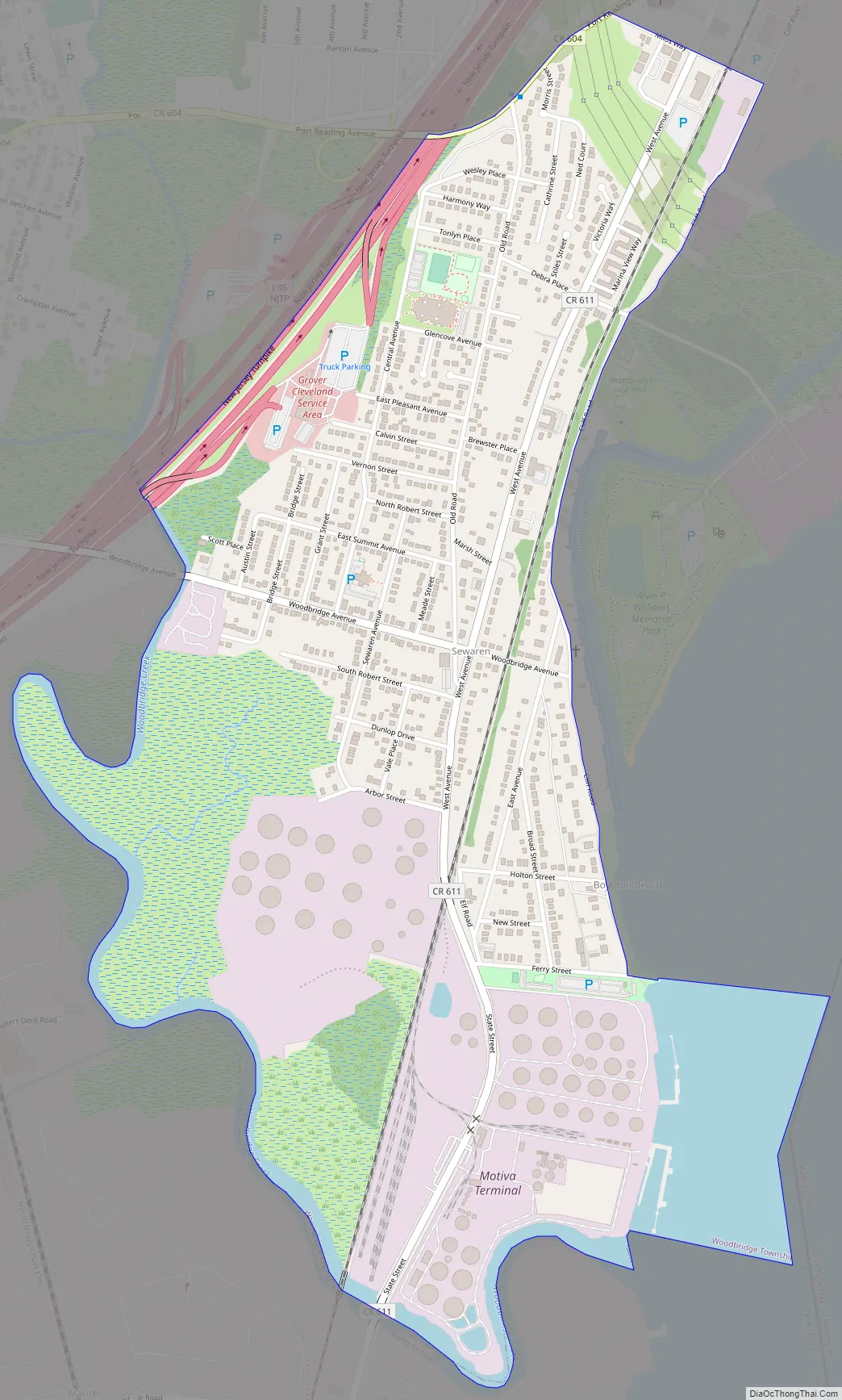
Sewaren Road Map
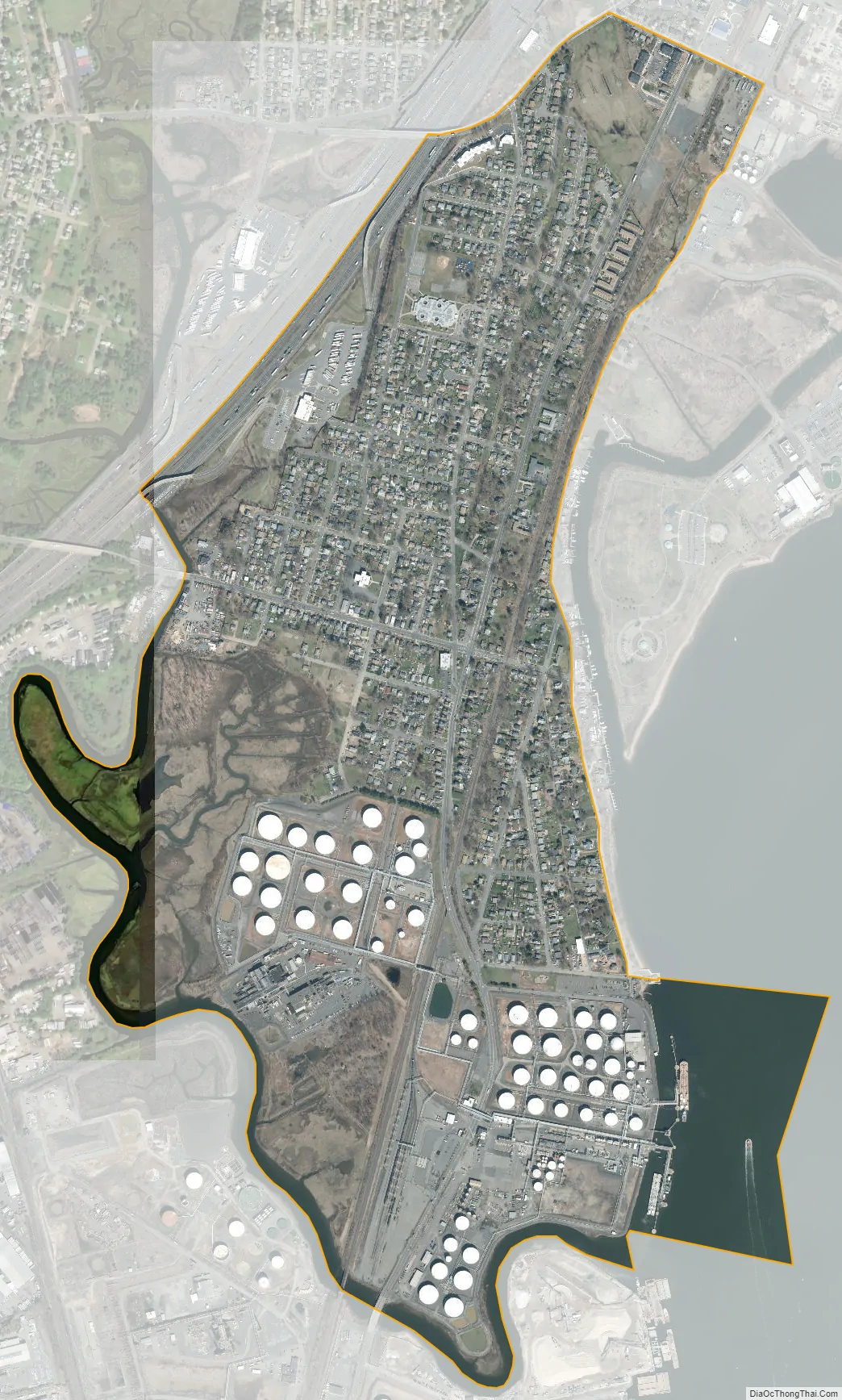
Sewaren city Satellite Map
Geography
According to the United States Census Bureau, the CDP had a total area of 1.004 square miles (2.601 km), including 0.954 square miles (2.471 km) of land and 0.050 square miles (0.131 km) of water (5.02%). Sewaren is located between Perth Amboy and Carteret, on the waterfront across the Arthur Kill waterway from Staten Island, New York, which is accessible via the Outerbridge Crossing just minutes away.
See also
Map of New Jersey State and its subdivision: Map of other states:- Alabama
- Alaska
- Arizona
- Arkansas
- California
- Colorado
- Connecticut
- Delaware
- District of Columbia
- Florida
- Georgia
- Hawaii
- Idaho
- Illinois
- Indiana
- Iowa
- Kansas
- Kentucky
- Louisiana
- Maine
- Maryland
- Massachusetts
- Michigan
- Minnesota
- Mississippi
- Missouri
- Montana
- Nebraska
- Nevada
- New Hampshire
- New Jersey
- New Mexico
- New York
- North Carolina
- North Dakota
- Ohio
- Oklahoma
- Oregon
- Pennsylvania
- Rhode Island
- South Carolina
- South Dakota
- Tennessee
- Texas
- Utah
- Vermont
- Virginia
- Washington
- West Virginia
- Wisconsin
- Wyoming


