South Plainfield is a borough in Middlesex County, in the U.S. state of New Jersey. It is located in the heart of the Raritan Valley region. As of the 2020 United States census, the borough’s population was 24,338, an increase of 953 (+4.1%) from the 2010 census count of 23,385, which in turn reflected an increase of 1,575 (+7.2%) from the 21,810 counted in the 2000 census.
South Plainfield was incorporated by an act of the New Jersey Legislature on March 12, 1926, from portions of Piscataway Township, based on the results of a referendum passed on April 6, 1926. The borough’s name derives from Plainfield, which derived its name from a local estate or from its scenic location.
| Name: | South Plainfield borough |
|---|---|
| LSAD Code: | 21 |
| LSAD Description: | borough (suffix) |
| State: | New Jersey |
| County: | Middlesex County |
| Incorporated: | April 6, 1926 |
| Elevation: | 82 ft (25 m) |
| Total Area: | 8.33 sq mi (21.58 km²) |
| Land Area: | 8.30 sq mi (21.49 km²) |
| Water Area: | 0.04 sq mi (0.09 km²) 0.42% |
| Total Population: | 24,338 |
| Population Density: | 2,933.7/sq mi (1,132.7/km²) |
| ZIP code: | 07080 |
| Area code: | 732 and 908 |
| FIPS code: | 3469390 |
| GNISfeature ID: | 0885402 |
| Website: | www.southplainfieldnj.com |
Online Interactive Map
Click on ![]() to view map in "full screen" mode.
to view map in "full screen" mode.
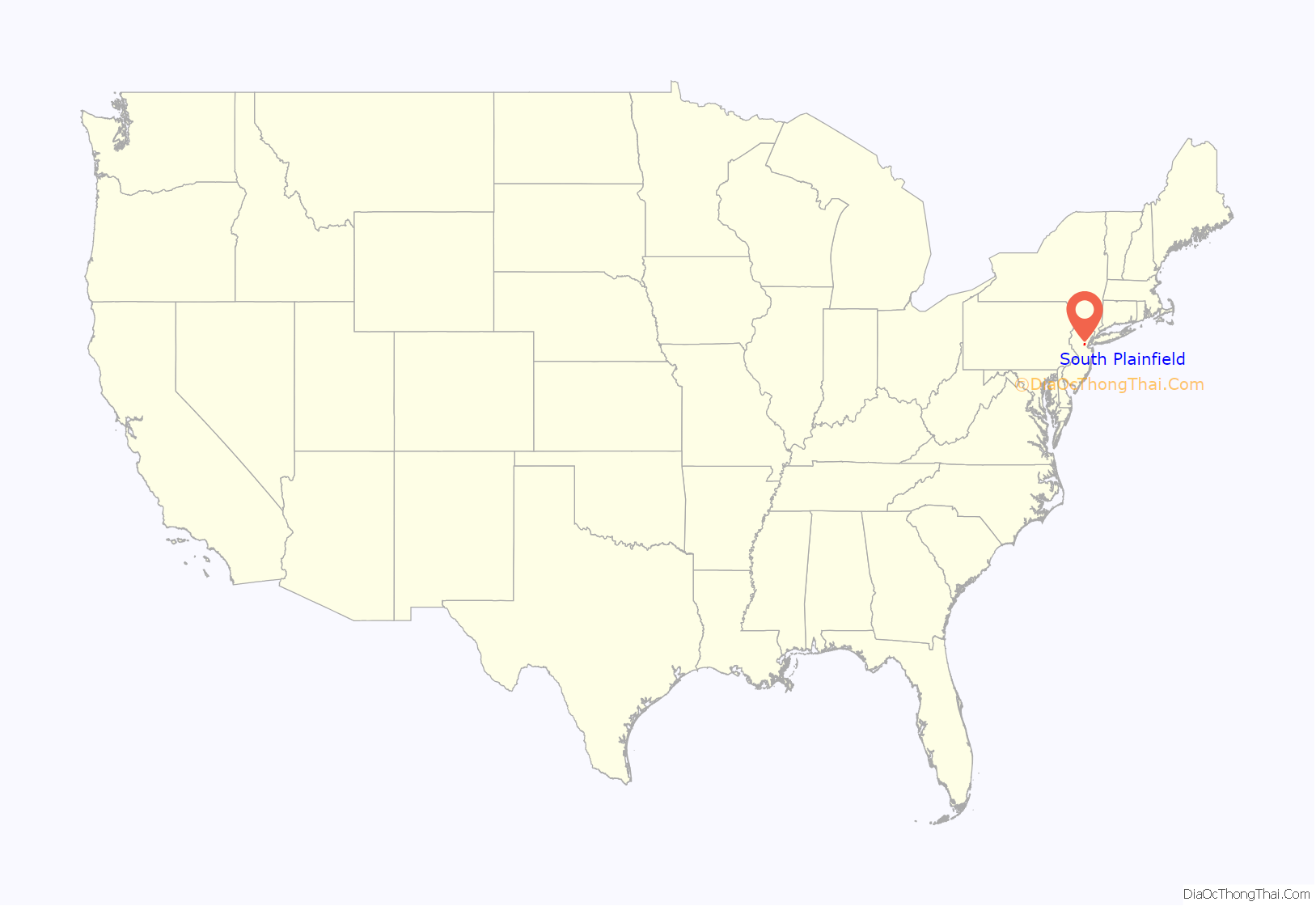
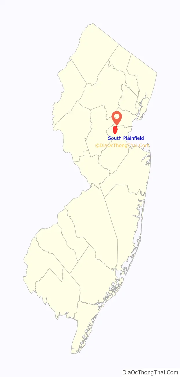
South Plainfield location map. Where is South Plainfield borough?
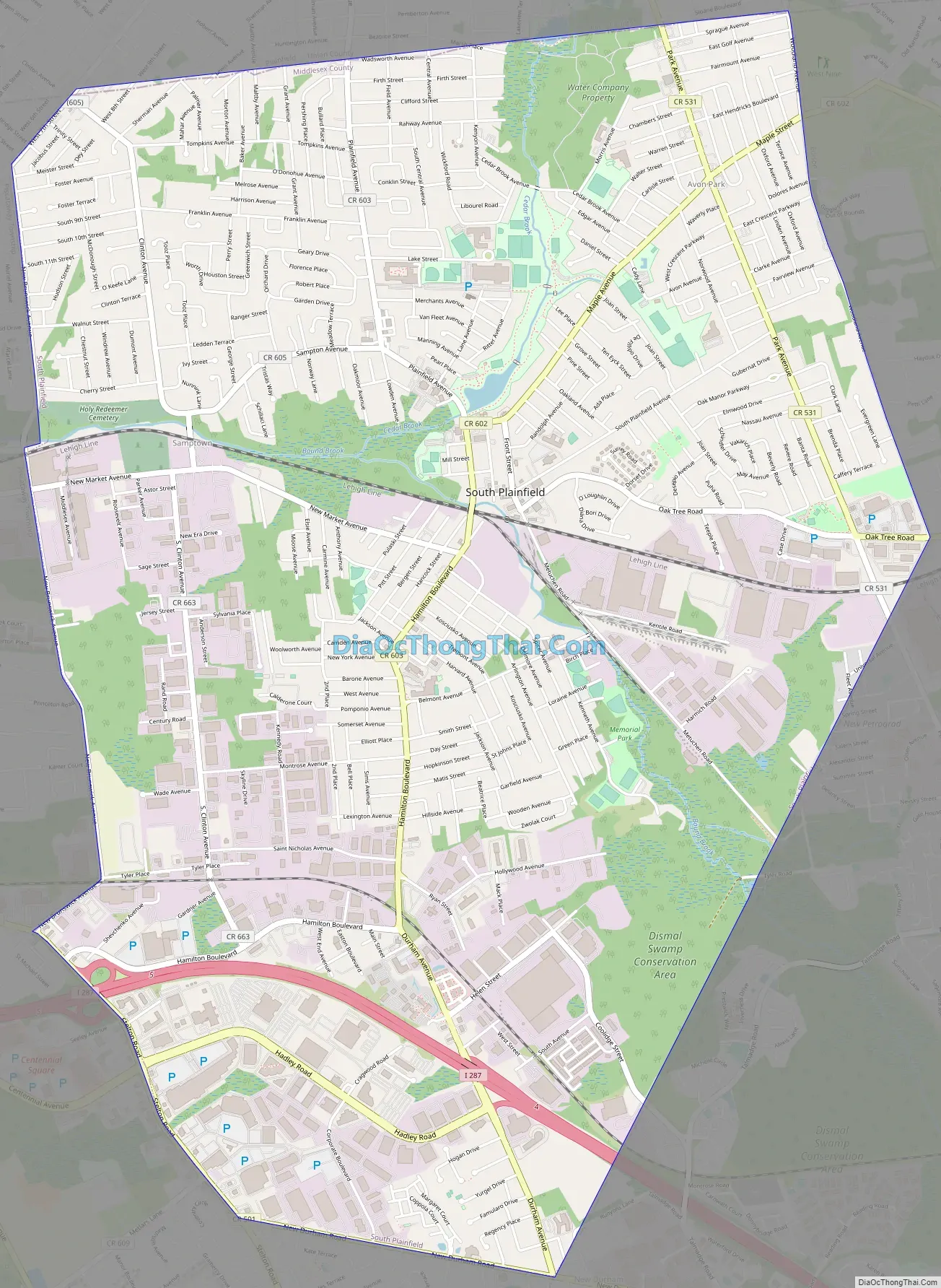
South Plainfield Road Map
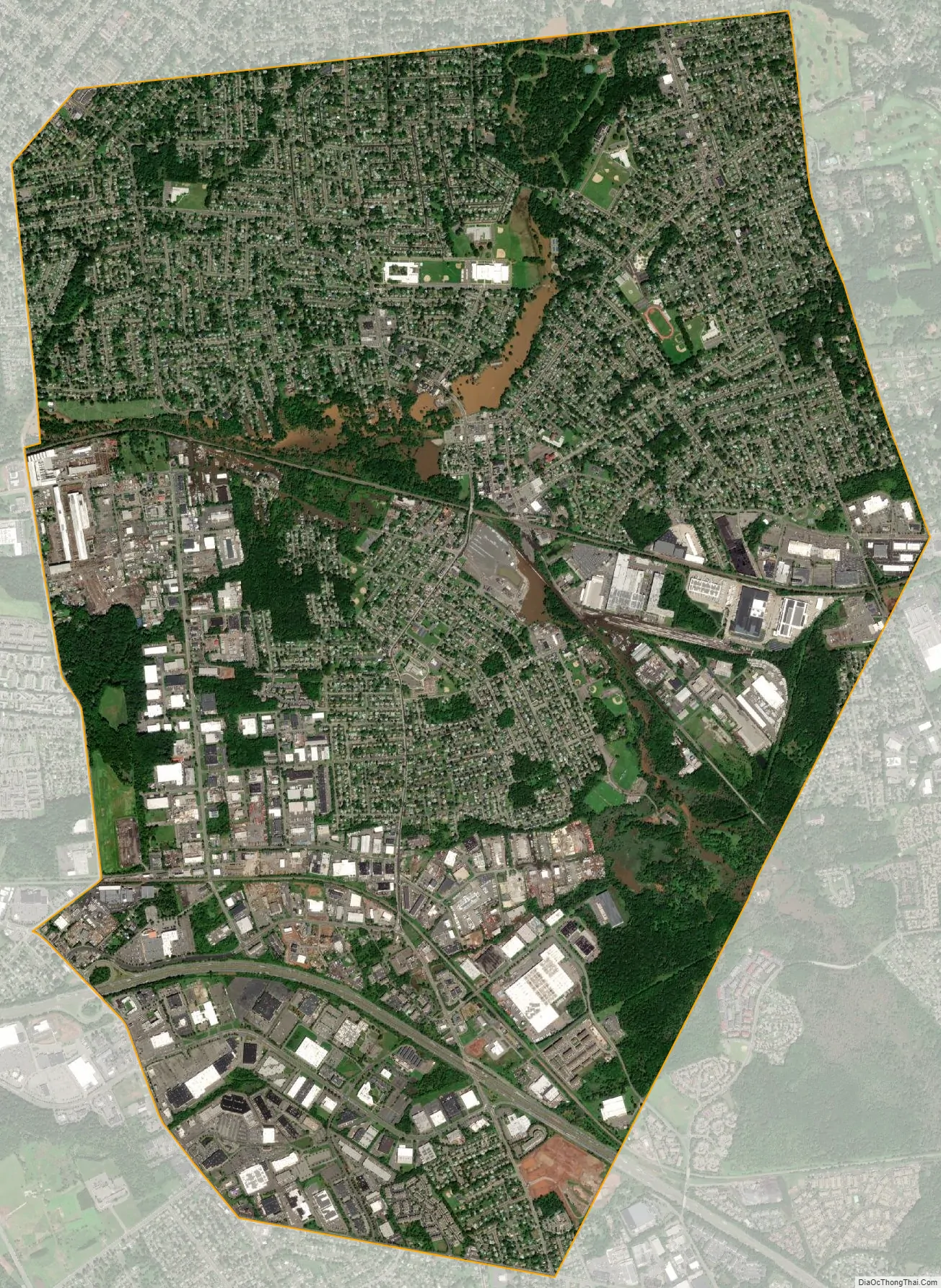
South Plainfield city Satellite Map
Geography
According to the United States Census Bureau, the borough had a total area of 8.33 square miles (21.58 km), including 8.30 square miles (21.49 km) of land and 0.04 square miles (0.09 km) of water (0.42%).
Unincorporated communities, localities and place names located partially or completely within the township include Avon Park, Hadley Airport, Holly Park and Samptown.
The borough is bordered by Piscataway Township on the south and west, Edison Township on the east, both in Middlesex County, and Plainfield on the north and Scotch Plains both in Union County.
See also
Map of New Jersey State and its subdivision: Map of other states:- Alabama
- Alaska
- Arizona
- Arkansas
- California
- Colorado
- Connecticut
- Delaware
- District of Columbia
- Florida
- Georgia
- Hawaii
- Idaho
- Illinois
- Indiana
- Iowa
- Kansas
- Kentucky
- Louisiana
- Maine
- Maryland
- Massachusetts
- Michigan
- Minnesota
- Mississippi
- Missouri
- Montana
- Nebraska
- Nevada
- New Hampshire
- New Jersey
- New Mexico
- New York
- North Carolina
- North Dakota
- Ohio
- Oklahoma
- Oregon
- Pennsylvania
- Rhode Island
- South Carolina
- South Dakota
- Tennessee
- Texas
- Utah
- Vermont
- Virginia
- Washington
- West Virginia
- Wisconsin
- Wyoming


