South River is a borough in Middlesex County, in the U.S. state of New Jersey. As of the 2020 United States census, the borough’s population was 16,118, an increase of 110 (+0.7%) from the 2010 census count of 16,008, which in turn reflected an increase of 686 (+4.5%) from the 15,322 counted in the 2000 census.
What is now South River was originally formed as the town of Washington within East Brunswick Township on February 23, 1870. South River was incorporated as an independent borough by an act of the New Jersey Legislature on February 28, 1898, replacing Washington town. It was named after the Raritan River’s South River tributary, which marks the borough’s eastern and northeastern boundary.
| Name: | South River borough |
|---|---|
| LSAD Code: | 21 |
| LSAD Description: | borough (suffix) |
| State: | New Jersey |
| County: | Middlesex County |
| Incorporated: | February 28, 1898 |
| Elevation: | 26 ft (8 m) |
| Total Area: | 2.94 sq mi (7.61 km²) |
| Land Area: | 2.79 sq mi (7.21 km²) |
| Water Area: | 0.15 sq mi (0.40 km²) 5.27% |
| Total Population: | 16,118 |
| Population Density: | 5,787.4/sq mi (2,234.5/km²) |
| Area code: | 732 |
| FIPS code: | 3469420 |
| GNISfeature ID: | 0885403 |
| Website: | www.southrivernj.org |
Online Interactive Map
Click on ![]() to view map in "full screen" mode.
to view map in "full screen" mode.
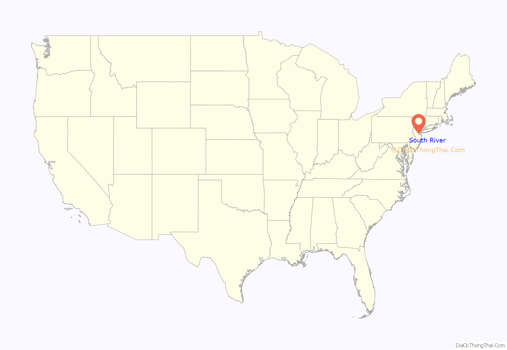
South River location map. Where is South River borough?
History
South River was originally part of East Brunswick Township. Originally referred to as Washington, the community eventually split away as did Spotswood and Milltown.
From 1683 to 1720, the area was commonly referred to as South River Landing. In 1720, the name Willettstown was adopted after settler Samuel Willett. In 1784, the name was changed to Washington and the area was variously referred to as Washington Village, Washington Woods, and Little Washington. The name was considered at the suggestion of Abraham Barkelew, one of the original settlers in the town. In 1870, the name was changed to South River and on February 28, 1898, South River officially became a borough.
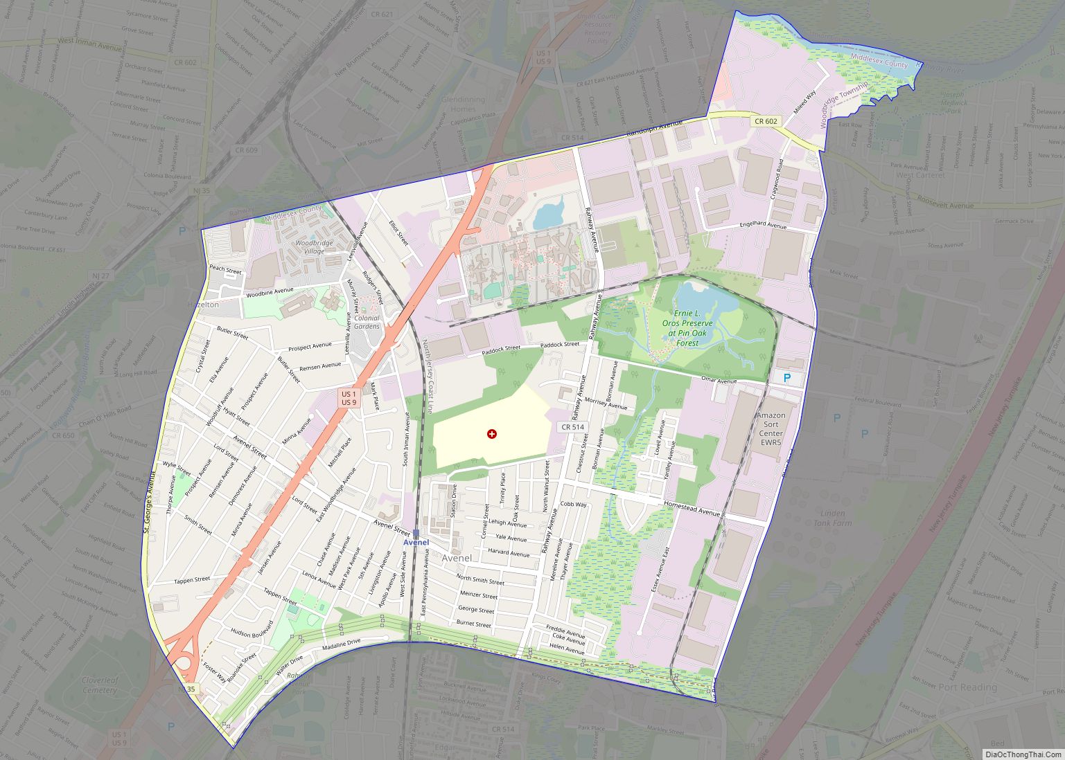
South River Road Map
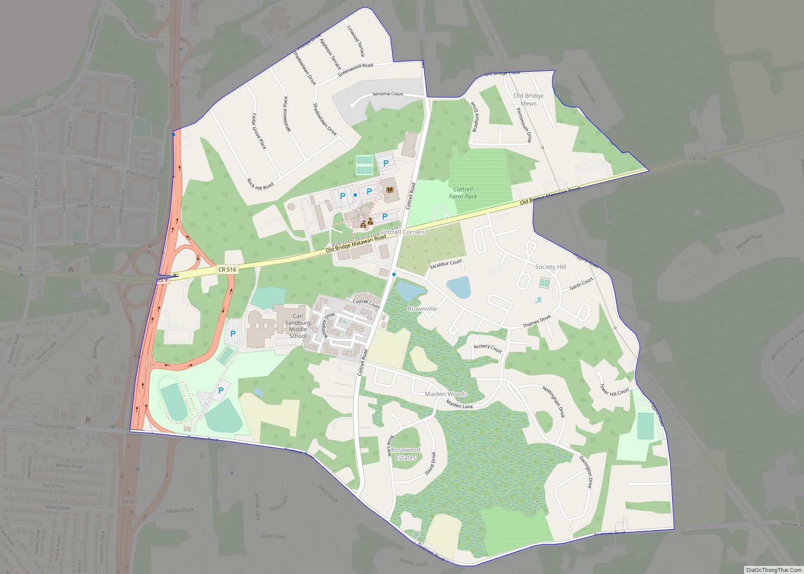
South River city Satellite Map
Geography
According to the United States Census Bureau, the borough had a total area of 2.94 square miles (7.61 km), including 2.79 square miles (7.21 km) of land and 0.16 square miles (0.40 km) of water (5.27%).
The borough borders the Middlesex County communities of East Brunswick and Sayreville.
Unincorporated communities, localities and place names located partially or completely within the borough include Newton Heights, which is situated along the border of South River and East Brunswick.
See also
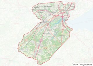
Map of New Jersey State and its subdivision: Map of other states:- Alabama
- Alaska
- Arizona
- Arkansas
- California
- Colorado
- Connecticut
- Delaware
- District of Columbia
- Florida
- Georgia
- Hawaii
- Idaho
- Illinois
- Indiana
- Iowa
- Kansas
- Kentucky
- Louisiana
- Maine
- Maryland
- Massachusetts
- Michigan
- Minnesota
- Mississippi
- Missouri
- Montana
- Nebraska
- Nevada
- New Hampshire
- New Jersey
- New Mexico
- New York
- North Carolina
- North Dakota
- Ohio
- Oklahoma
- Oregon
- Pennsylvania
- Rhode Island
- South Carolina
- South Dakota
- Tennessee
- Texas
- Utah
- Vermont
- Virginia
- Washington
- West Virginia
- Wisconsin
- Wyoming
