Stockton is a borough in Hunterdon County, in the U.S. state of New Jersey. The borough sits on the Delaware River at the western end of Amwell Valley. As of the 2020 United States census, the borough’s population was 495, a decrease of 43 (−8.0%) from the 2010 census count of 538, which in turn reflected a decline of 22 (−3.9%) from the 560 counted in the 2000 census.
Stockton was incorporated as a borough by an act of the New Jersey Legislature on April 14, 1898, from portions of Delaware Township.
| Name: | Stockton borough |
|---|---|
| LSAD Code: | 21 |
| LSAD Description: | borough (suffix) |
| State: | New Jersey |
| County: | Hunterdon County |
| Incorporated: | April 14, 1898 |
| Elevation: | 121 ft (37 m) |
| Total Area: | 0.62 sq mi (1.61 km²) |
| Land Area: | 0.55 sq mi (1.41 km²) |
| Water Area: | 0.07 sq mi (0.19 km²) 12.10% |
| Total Population: | 495 |
| Population Density: | 906.2/sq mi (349.9/km²) |
| ZIP code: | 08559 |
| Area code: | 609 |
| FIPS code: | 3470980 |
| GNISfeature ID: | 0885409 |
| Website: | www.stocktonboronj.us |
Online Interactive Map
Click on ![]() to view map in "full screen" mode.
to view map in "full screen" mode.
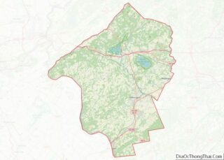
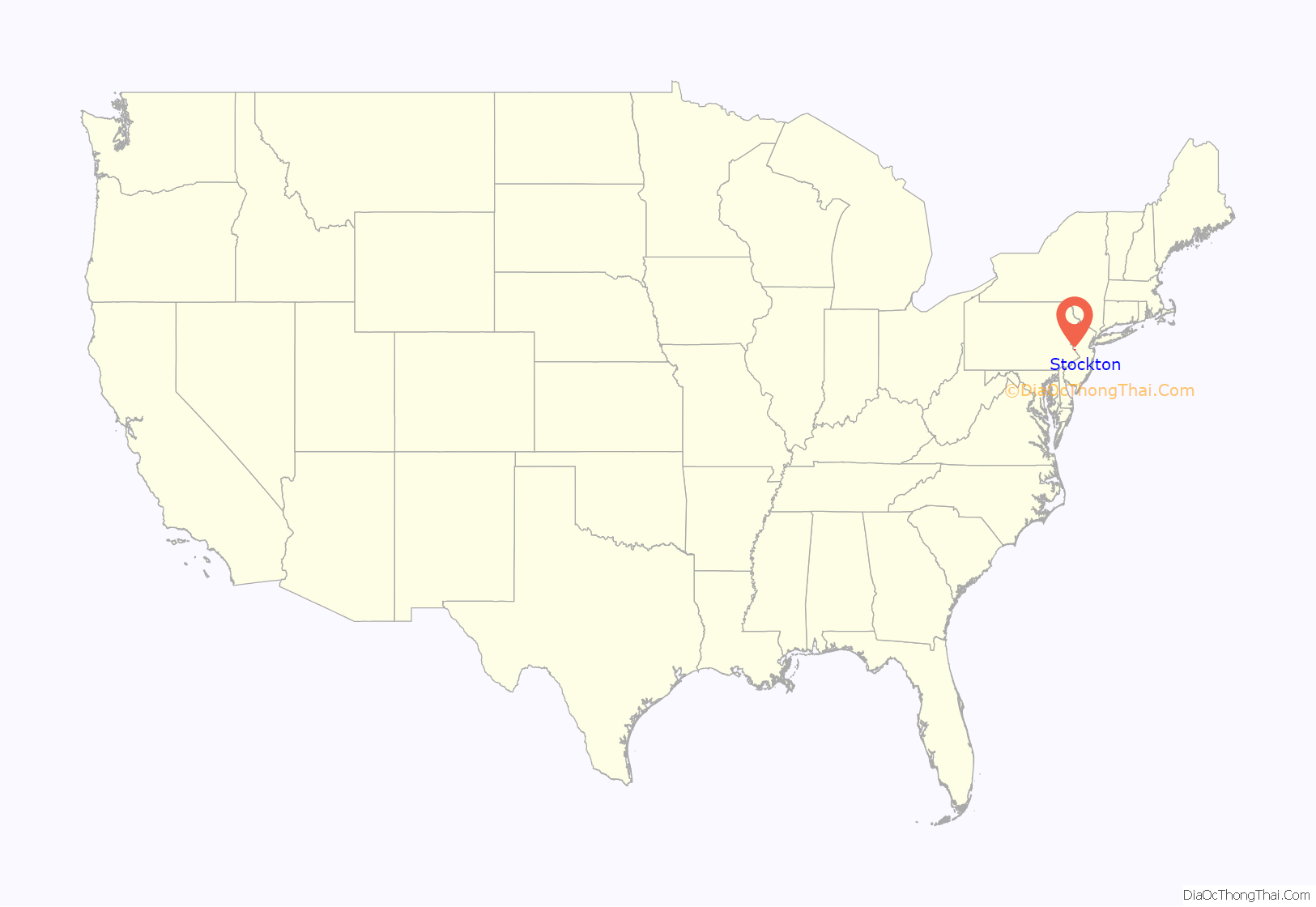
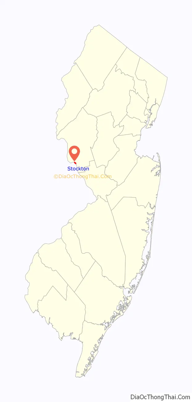
Stockton location map. Where is Stockton borough?
History
Stockton is located along the Delaware River north of Lambertville. The community was first known as Reading Ferry and later as Howell’s Ferry. The name was changed to Centre Bridge Station to match the name of the post office and hamlet on the Pennsylvania side of the river. The name became Stockton with the creation of a railroad station and a local post office in 1851. The community was named in honor of U.S. Senator Robert Field Stockton, who was instrumental in the creation of the Delaware and Raritan Canal. Stockton soon began to develop as an industrious town with mills and quarries sprouting in the area. In 1852 the Belvidere Delaware Railroad reached town and accelerated its prosperity. The borough was incorporated in 1898, having been separated from Delaware Township.
Historic locations and sightseeing
The Stockton Inn (formerly known as Colligan’s Stockton Inn) was established in 1710. The inn’s Dog & Deer Tavern first opened in 1796. The inn that was the inspiration for Richard Rodgers for his hit song “There’s a Small Hotel” sung in the 1936 Broadway musical On Your Toes. First built as a private residence it is believed to have been converted to an inn around 1832.
The Delaware River Mill Society was formed to preserve and promote the buildings and site known as Prallsville Mills. John Prall Jr., became the owner of the site in 1794 and with his settlement the area became known as Prallsville.
The Delaware River Mill Society is a private non-profit organization responsible for the restoration, maintenance, and operation of the historic John Prall Jr. House and the Prallsville Mills Complex, which was listed on the National Register of Historic Places in 1973. The entire property became part of the D & R Canal State Park in 1973. In 1976 when the State of New Jersey was unable to fund the restoration of its newly acquired Prallsville Mills, local citizens formed the Delaware River Mill Society, to “restore, preserve, operate, maintain and interpret” the historic site.
Prallsville Mills has become a place of cultural and environmental events attracting widespread participation. Visitors can tour 10 historic buildings including an 1877 grist mill, a 1790 linseed oil mill, an 1850 saw mill and a 1900 grain silo. Concerts, art exhibitions, antique shows, holiday parties, school fund-raiser auctions, meetings, as well as private parties, are a source of income for restoration and maintenance of the site. The site currently includes artist Ty Hodanish’s studio and gallery, known as The Art Colony, which is housed in the Linseed Mill. The Mill is also situated in the center of the Delaware River Scenic Byway.
Former station for the Belvidere Delaware Railroad
Prallsville Mills by the Delaware and Raritan Canal
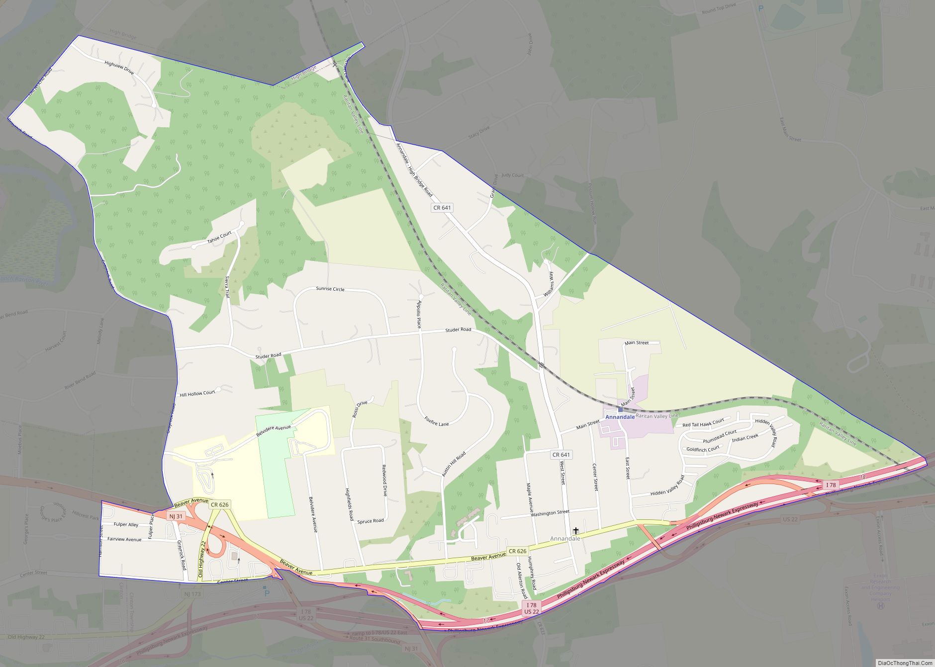
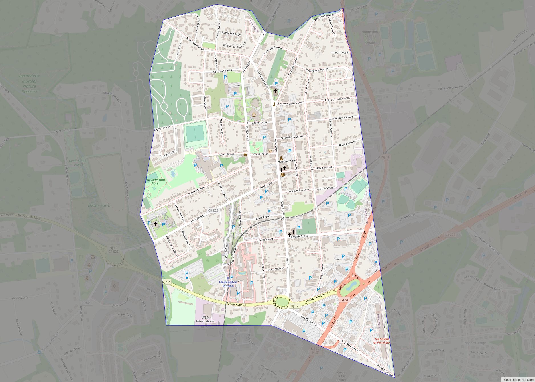
Stockton Road Map
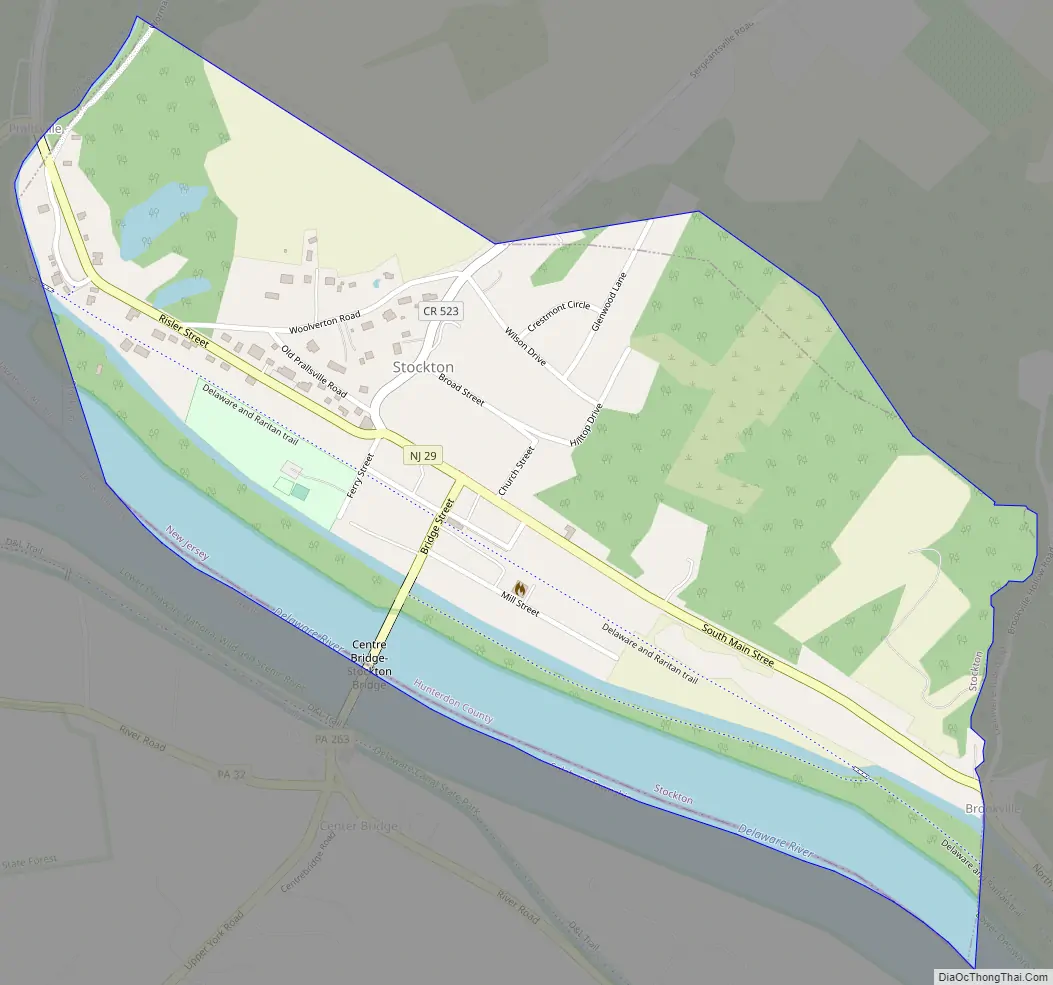
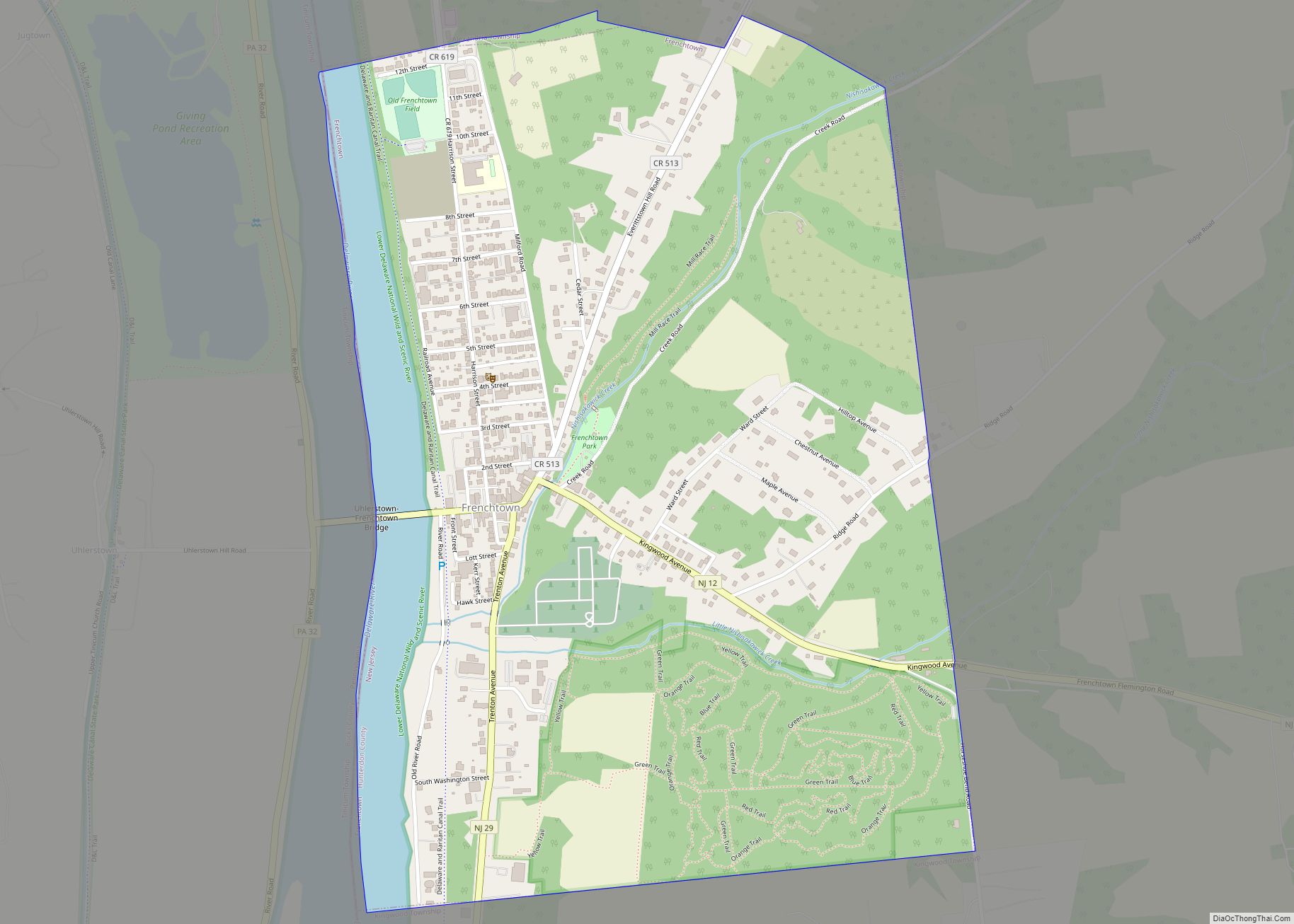
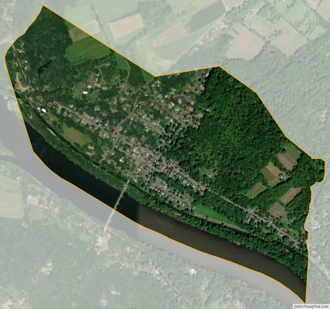
Stockton city Satellite Map
Geography
According to the United States Census Bureau, the borough had a total area of 0.62 square miles (1.61 km), including 0.55 square miles (1.41 km) of land and 0.08 square miles (0.19 km) of water (12.10%).
The borough borders Delaware Township in Hunterdon County and Solebury Township in Bucks County, Pennsylvania.
Prallsville is an unincorporated community located along the border with Delaware Township.
See also
Map of New Jersey State and its subdivision: Map of other states:- Alabama
- Alaska
- Arizona
- Arkansas
- California
- Colorado
- Connecticut
- Delaware
- District of Columbia
- Florida
- Georgia
- Hawaii
- Idaho
- Illinois
- Indiana
- Iowa
- Kansas
- Kentucky
- Louisiana
- Maine
- Maryland
- Massachusetts
- Michigan
- Minnesota
- Mississippi
- Missouri
- Montana
- Nebraska
- Nevada
- New Hampshire
- New Jersey
- New Mexico
- New York
- North Carolina
- North Dakota
- Ohio
- Oklahoma
- Oregon
- Pennsylvania
- Rhode Island
- South Carolina
- South Dakota
- Tennessee
- Texas
- Utah
- Vermont
- Virginia
- Washington
- West Virginia
- Wisconsin
- Wyoming