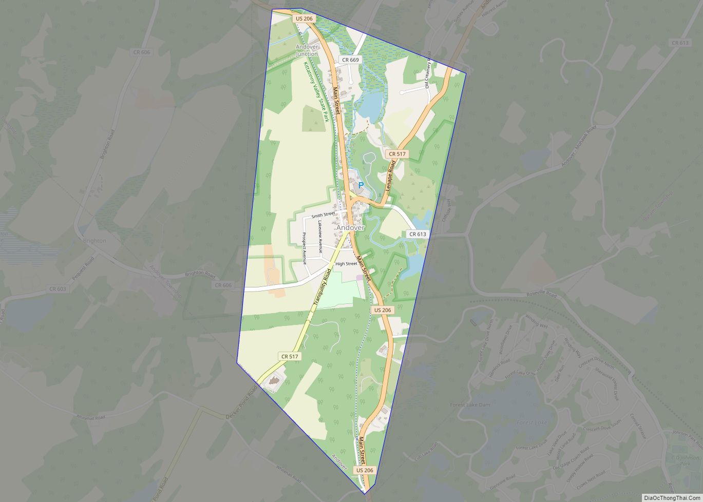
Sussex is a borough in Sussex County, in the U.S. state of New Jersey. As of the 2020 United States census, the borough’s population was 2,024, a decrease of 106 (−5.0%) from the 2010 census count of 2,130, which in turn reflected a decline of 15 (−0.7%) from the 2,145 counted in the 2000 census.
Sussex was incorporated as a borough by an act of the New Jersey Legislature on October 14, 1891, as Deckertown, from portions of Wantage Township. The borough’s original name was for settler Peter Decker. The borough was renamed Sussex on March 2, 1902. The county and borough are named for the historic county of Sussex in England.
A joint commission of residents of both Sussex and Wantage had recommended that the two communities should be consolidated to form what would be called the Township of Sussex-Wantage, which would operate within the Faulkner Act under the council-manager form of government, with a mayor and a six-member township council, and that voters in both municipalities should approve a referendum to be held on November 3, 2009. The committee noted that the two municipalities share common issues, schools, library and community services and that the artificial nature of the octagonal Sussex border often made it hard to distinguish between the two. The efforts at consolidation with surrounding Wantage Township ended in November 2009 after Wantage voters rejected the merger despite support from Sussex borough residents.
| Name: | Sussex borough |
|---|---|
| LSAD Code: | 21 |
| LSAD Description: | borough (suffix) |
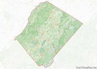
| State: | New Jersey |
| County: | Sussex County |
| Incorporated: | October 14, 1891 as Deckertown |
| Elevation: | 449 ft (137 m) |
| Total Area: | 0.62 sq mi (1.62 km²) |
| Land Area: | 0.59 sq mi (1.54 km²) |
| Water Area: | 0.03 sq mi (0.08 km²) 5.00% |
| Total Population: | 2,024 |
| Population Density: | 3,412.8/sq mi (1,317.7/km²) |
| ZIP code: | 07461 |
| Area code: | 973 exchanges: 702, 875 |
| FIPS code: | 3471670 |
| GNISfeature ID: | 0885414 |
| Website: | www.sussexboro.com |
Online Interactive Map
Click on ![]() to view map in "full screen" mode.
to view map in "full screen" mode.
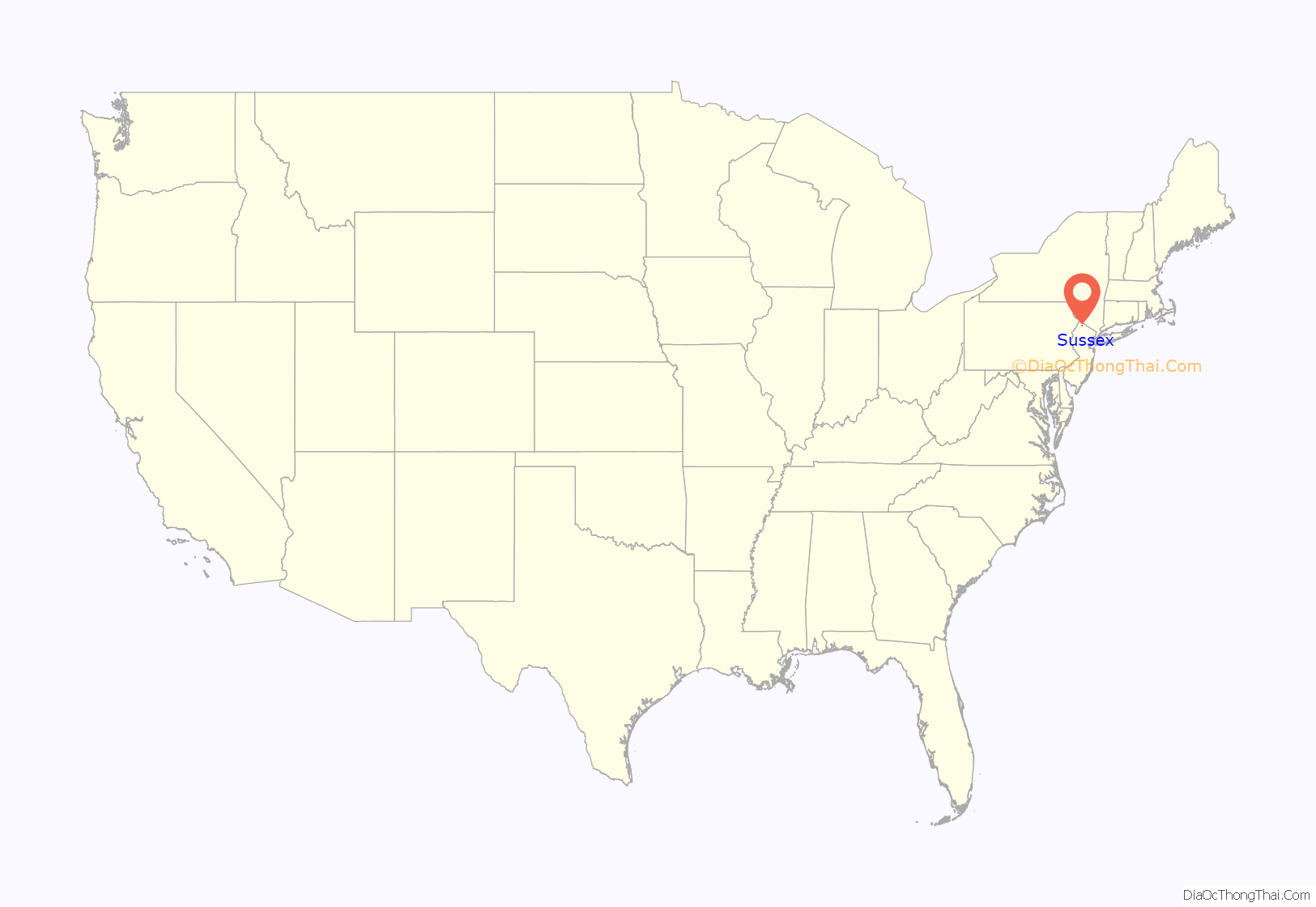
Sussex location map. Where is Sussex borough?
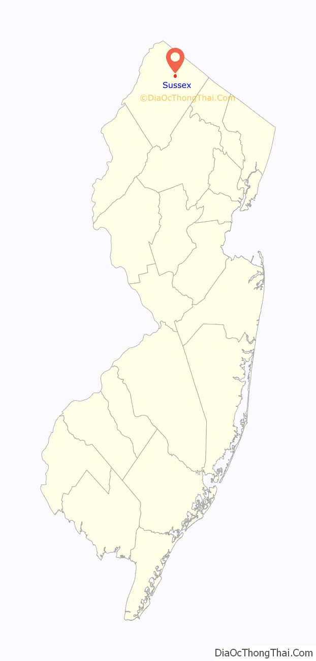
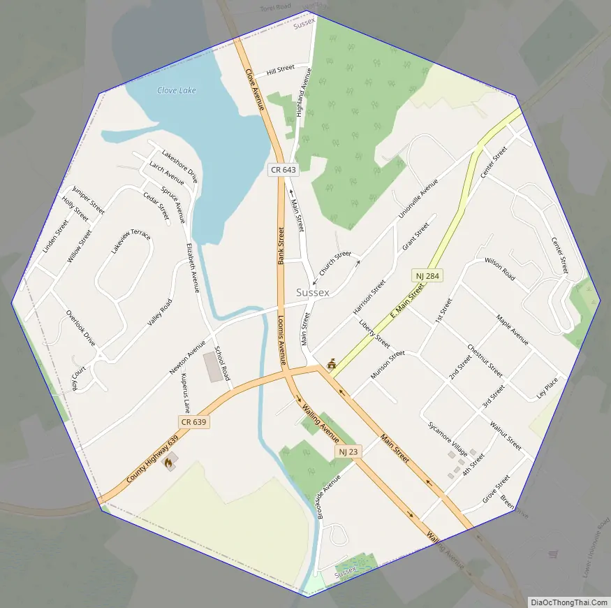
Sussex Road Map
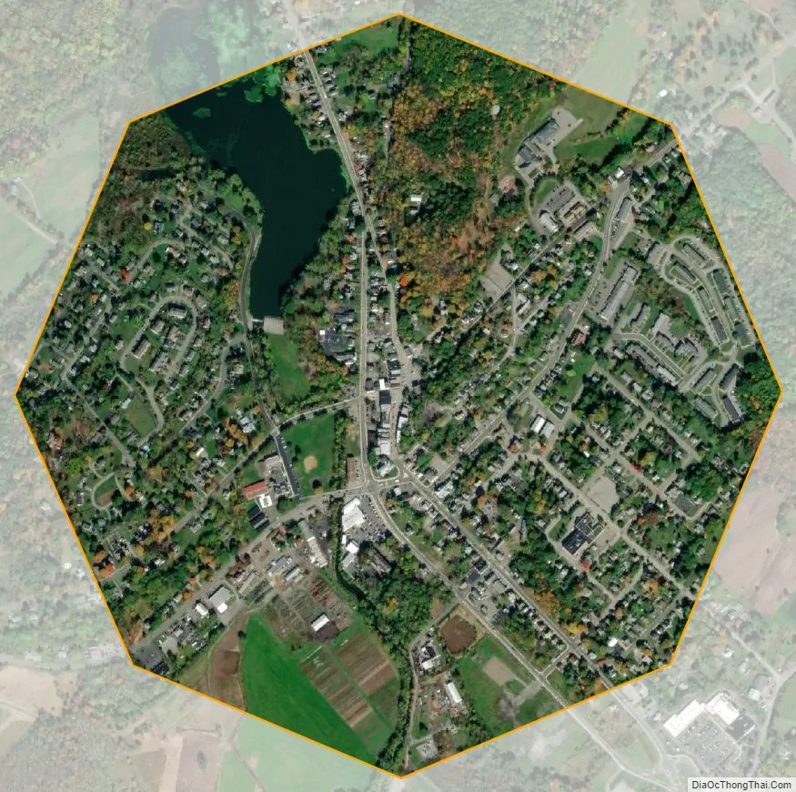
Sussex city Satellite Map
Geography
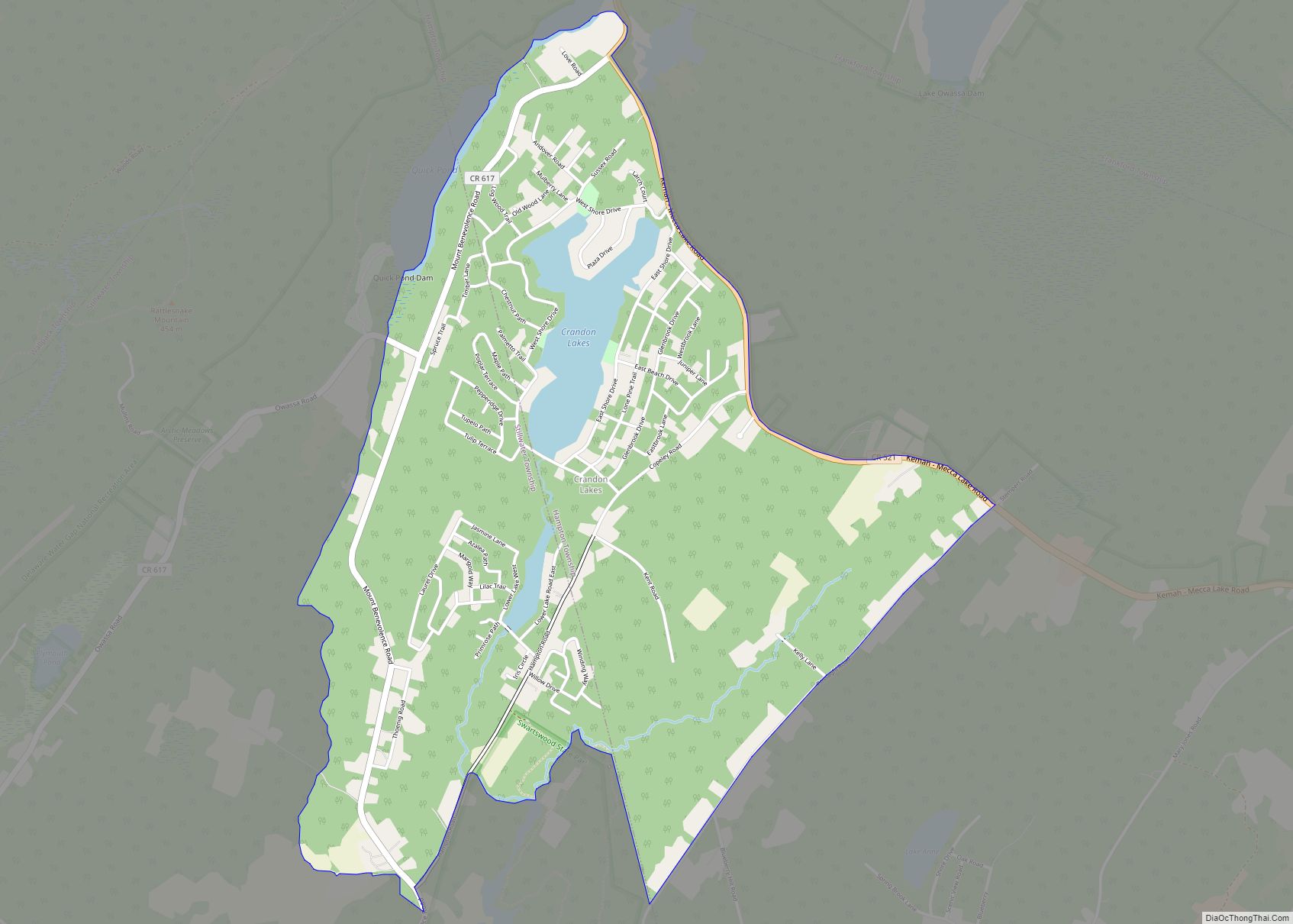
According to the U.S. Census Bureau, Sussex borough had a total area of 0.62 square miles (1.62 km), including 0.59 square miles (1.54 km) of land and 0.03 square miles (0.08 km) of water (5.00%). It is approximately 400 to 450 feet (120 to 140 m) above sea level. The borough is completely surrounded by Wantage Township, making it part of 21 pairs of “doughnut towns” in the state, where one municipality entirely surrounds another.
The borough is in the watershed of the Wallkill River (which flows north, and empties into the Rondout Creek, which flows into the Hudson River near Kingston, New York) and its tributary Glen Brook, which near Sussex forms a small body of water called Clove Lake, part of which is within the borough.
Climate
Due to its inland location and elevation, Sussex has a climate much cooler than most of the state, classified as humid continental (Köppen Dfa), with cold, moderately snowy winters, and very warm, humid summers. It is part of USDA Plant Hardiness Zone 6. The monthly daily average temperature ranges from 25.8 °F (−3.4 °C) in January to 71.8 °F (22.1 °C) in July. Temperatures reach 90 °F (32 °C) on 13.4 days and fall to 0 °F (−18 °C) on 5.2 nights annually. Snowfall averages 38.7 inches (98 cm) per season, although this usually varies widely from year to year. Extremes in the temperature range from −29 °F (−34 °C) on January 21, 1994 up to 106 °F (41 °C) on July 10, 1936.
See also
Map of New Jersey State and its subdivision: Map of other states:- Alabama
- Alaska
- Arizona
- Arkansas
- California
- Colorado
- Connecticut
- Delaware
- District of Columbia
- Florida
- Georgia
- Hawaii
- Idaho
- Illinois
- Indiana
- Iowa
- Kansas
- Kentucky
- Louisiana
- Maine
- Maryland
- Massachusetts
- Michigan
- Minnesota
- Mississippi
- Missouri
- Montana
- Nebraska
- Nevada
- New Hampshire
- New Jersey
- New Mexico
- New York
- North Carolina
- North Dakota
- Ohio
- Oklahoma
- Oregon
- Pennsylvania
- Rhode Island
- South Carolina
- South Dakota
- Tennessee
- Texas
- Utah
- Vermont
- Virginia
- Washington
- West Virginia
- Wisconsin
- Wyoming