Turnersville is an unincorporated community and census-designated place (CDP) located within Washington Township, in Gloucester County, in the U.S. state of New Jersey. As of the 2010 United States census, the CDP’s population was 3,742.
The community was named for the Turner family, one of the original families of Washington Township. The area falls under the 08012 ZIP code for Blackwood.
| Name: | Turnersville CDP |
|---|---|
| LSAD Code: | 57 |
| LSAD Description: | CDP (suffix) |
| State: | New Jersey |
| County: | Gloucester County |
| Elevation: | 92 ft (28 m) |
| Total Area: | 1.51 sq mi (3.91 km²) |
| Land Area: | 1.50 sq mi (3.89 km²) |
| Water Area: | 0.01 sq mi (0.02 km²) 0.51% |
| Total Population: | 3,594 |
| Population Density: | 2,389.63/sq mi (922.83/km²) |
| ZIP code: | 08012 – Blackwood |
| Area code: | 856 |
| FIPS code: | 3474270 |
| GNISfeature ID: | 02390410 |
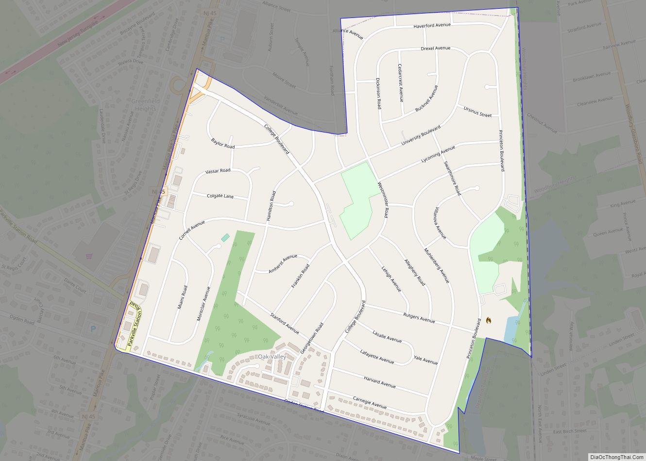
Online Interactive Map
Click on ![]() to view map in "full screen" mode.
to view map in "full screen" mode.
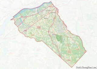
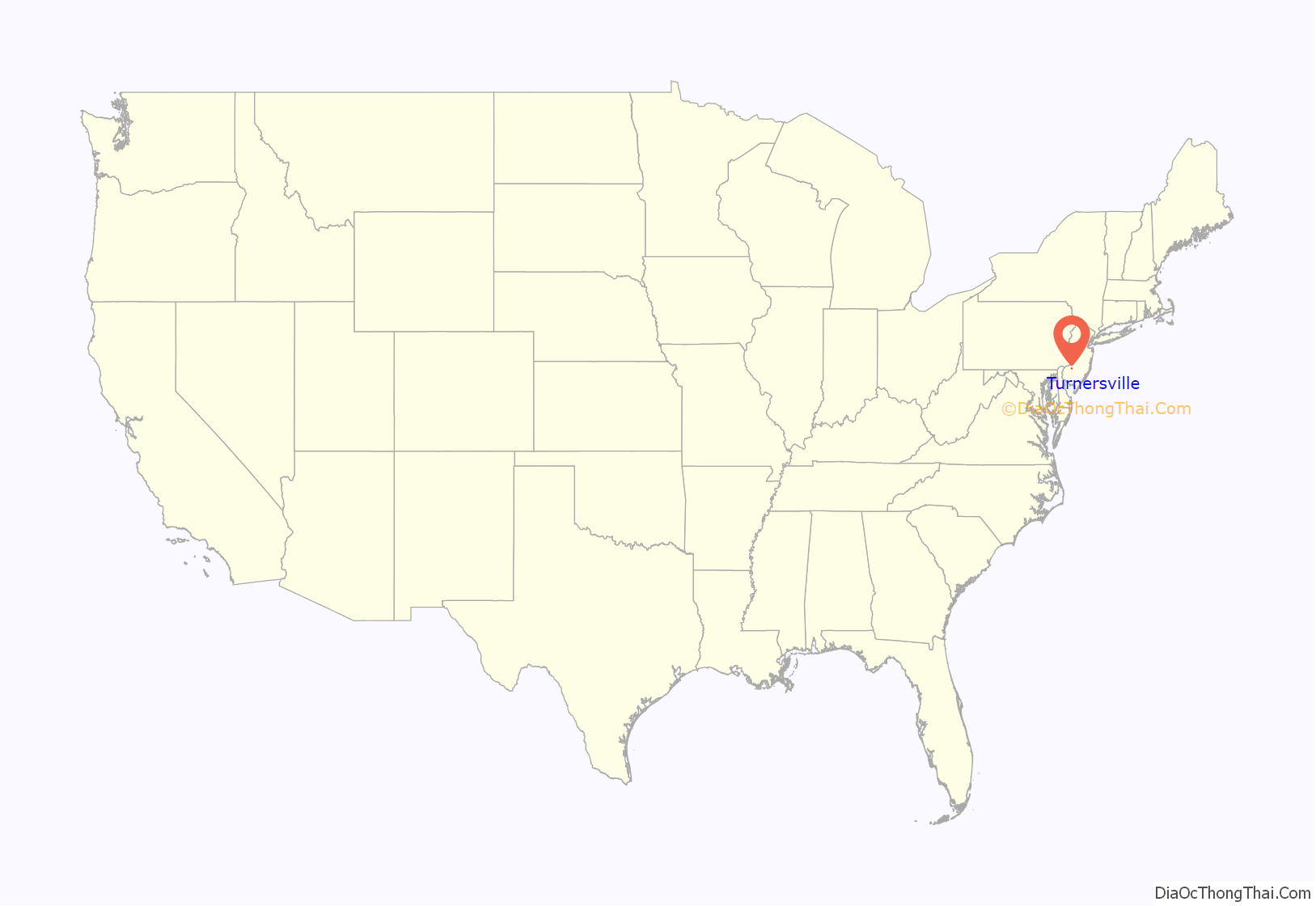
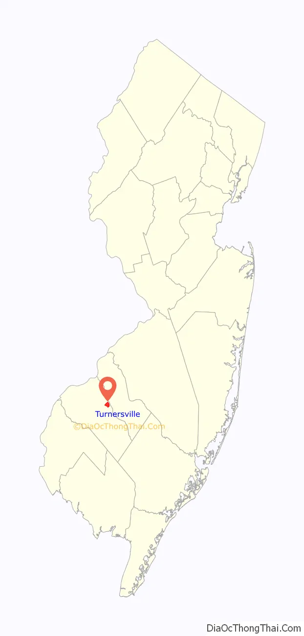
Turnersville location map. Where is Turnersville CDP?
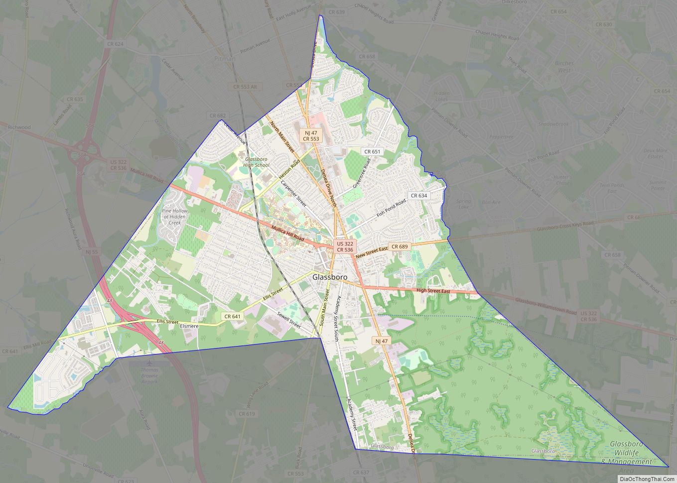
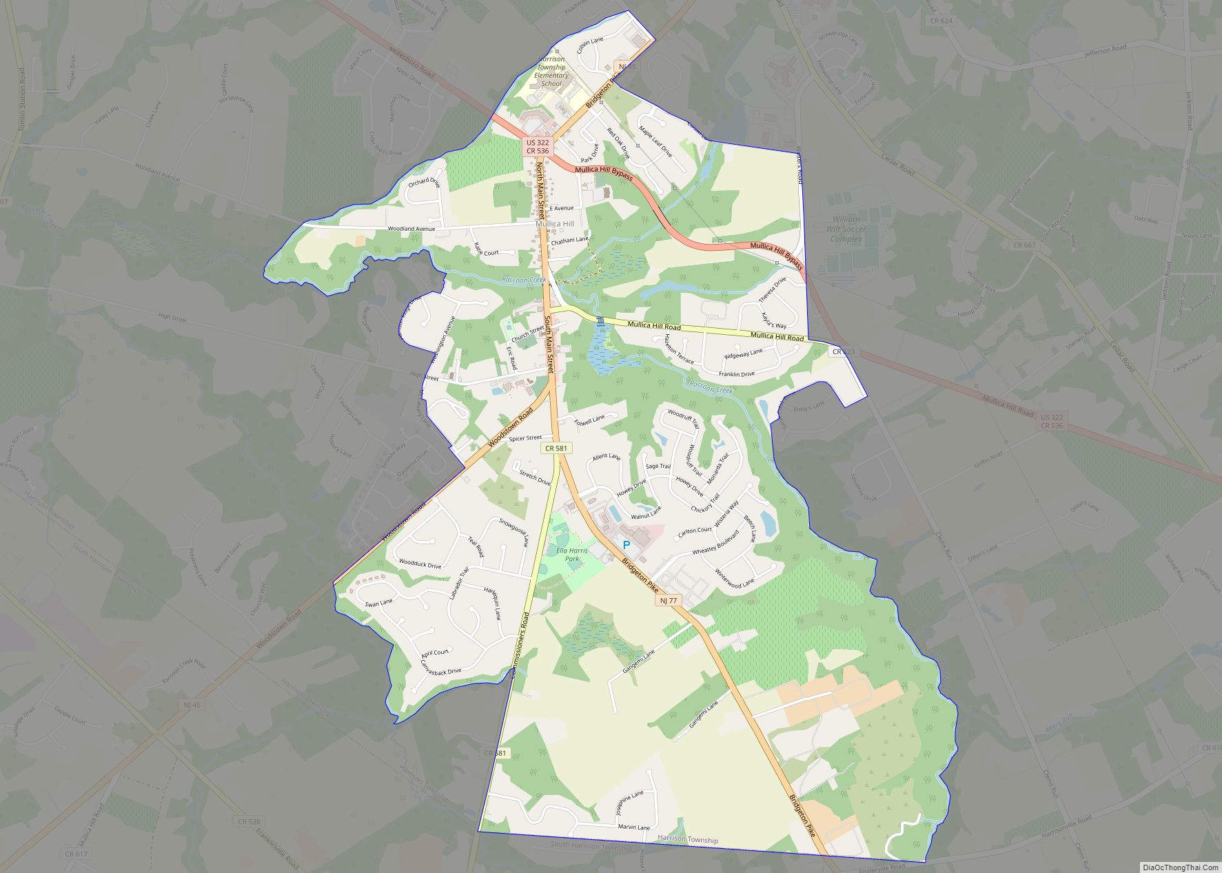
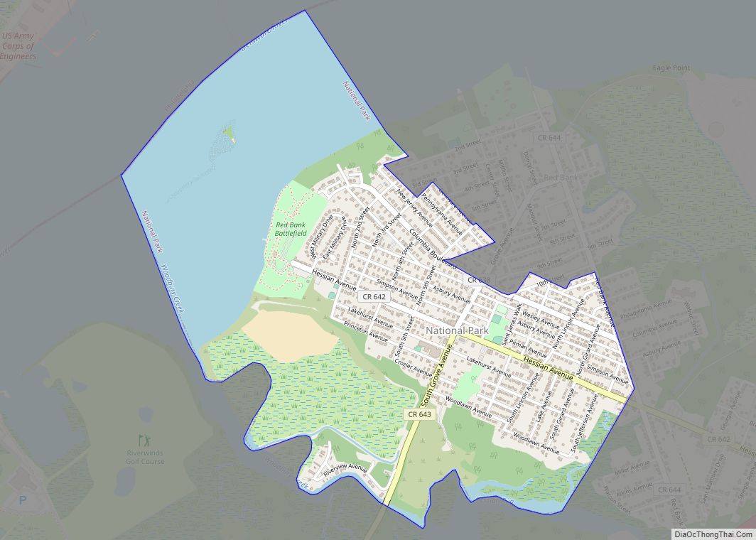
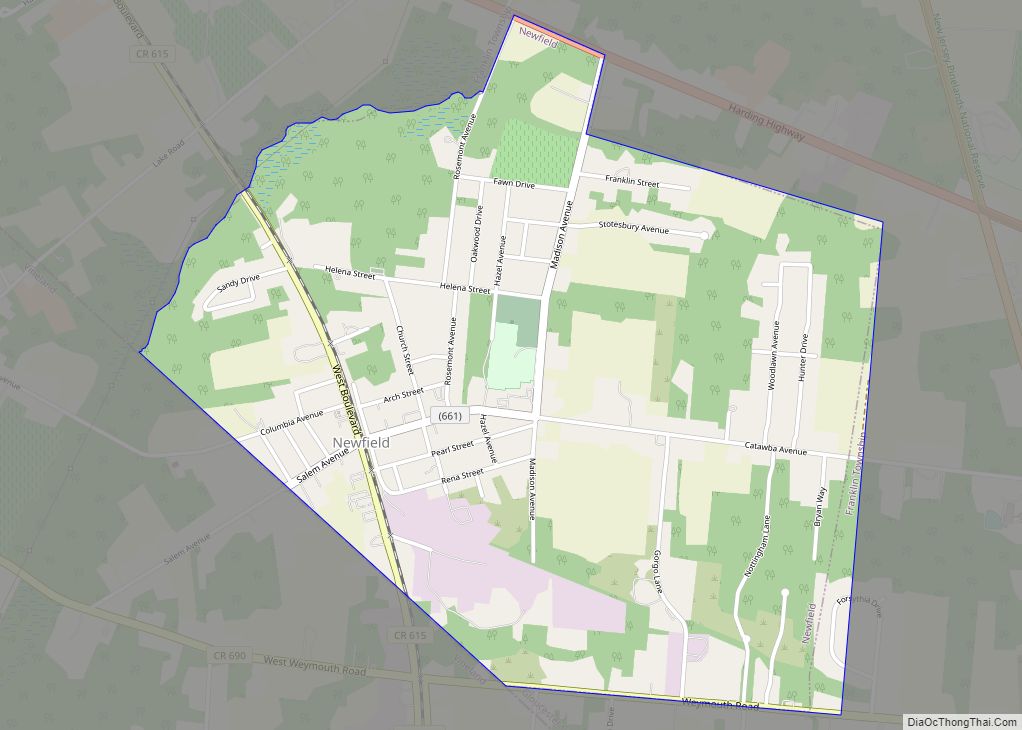
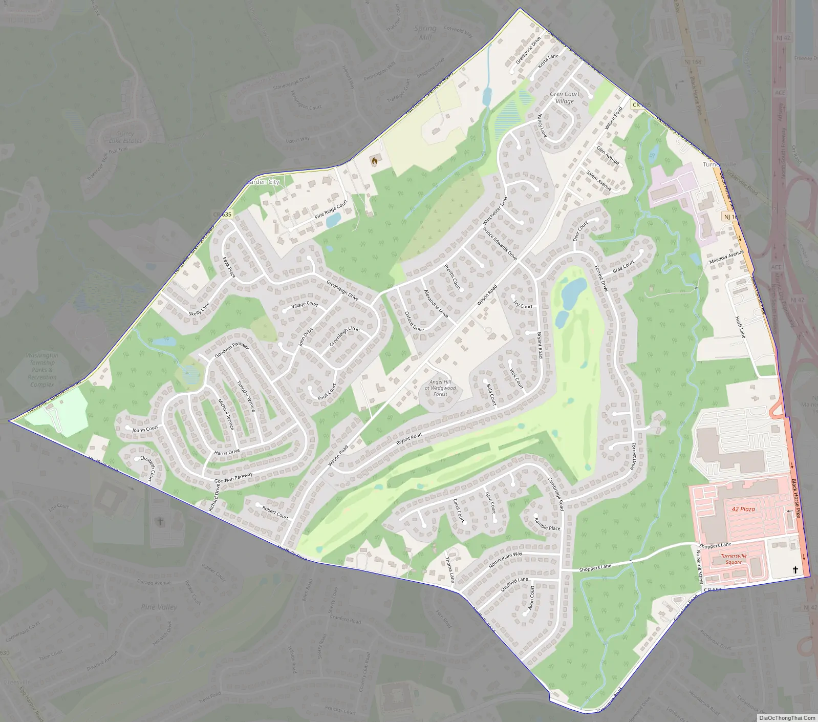
Turnersville Road Map
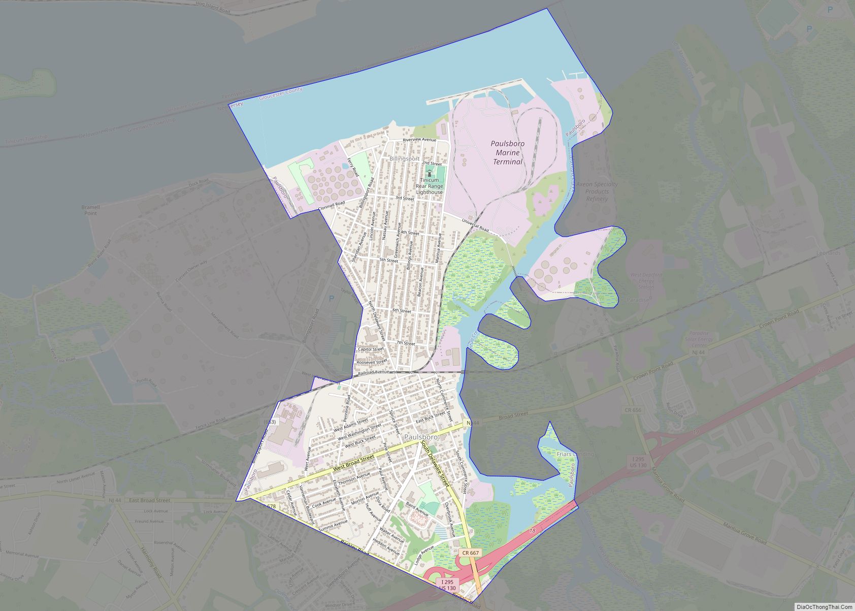
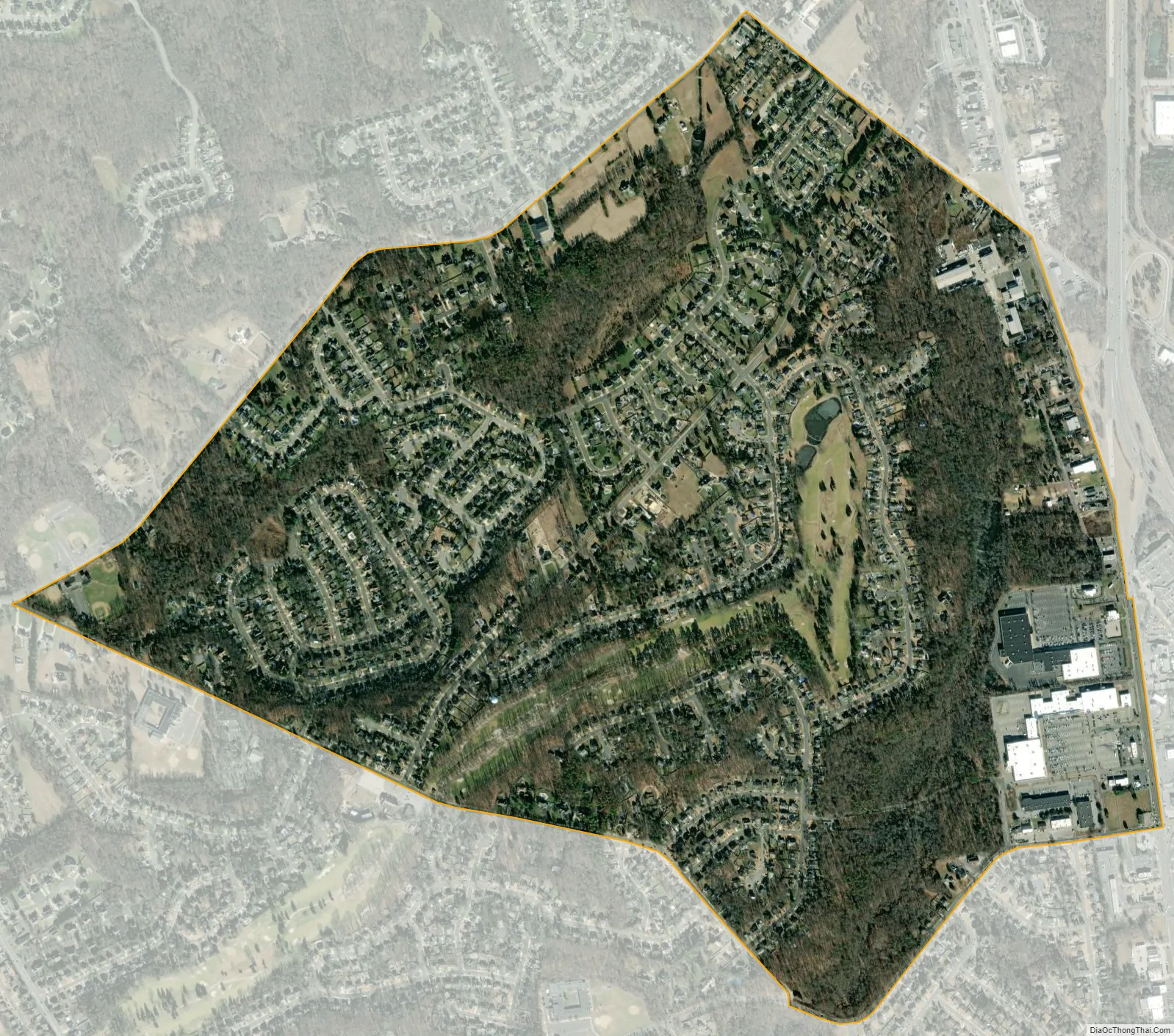
Turnersville city Satellite Map
Geography
According to the United States Census Bureau, Turnersville had a total area of 1.495 square miles (3.871 km), including 1.487 square miles (3.851 km) of land and 0.008 square miles (0.020 km) of water (0.51%). It is located on the South Branch Big Timber Creek. New Jersey Route 42 forms its eastern boundary and interchanges with the western terminus of the Atlantic City Expressway there. The CDP has a humid subtropical climate (Cfa) and average monthly temperatures range from 33.2 °F (0.7 °C) in January to 77.1 °F (25.1 °C) in July. The local hardiness zone is 7a.
See also
Map of New Jersey State and its subdivision: Map of other states:- Alabama
- Alaska
- Arizona
- Arkansas
- California
- Colorado
- Connecticut
- Delaware
- District of Columbia
- Florida
- Georgia
- Hawaii
- Idaho
- Illinois
- Indiana
- Iowa
- Kansas
- Kentucky
- Louisiana
- Maine
- Maryland
- Massachusetts
- Michigan
- Minnesota
- Mississippi
- Missouri
- Montana
- Nebraska
- Nevada
- New Hampshire
- New Jersey
- New Mexico
- New York
- North Carolina
- North Dakota
- Ohio
- Oklahoma
- Oregon
- Pennsylvania
- Rhode Island
- South Carolina
- South Dakota
- Tennessee
- Texas
- Utah
- Vermont
- Virginia
- Washington
- West Virginia
- Wisconsin
- Wyoming