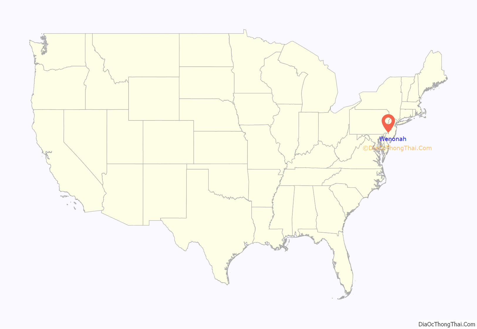
Wenonah is a borough in Gloucester County, in the U.S. state of New Jersey. As of the 2020 United States census, the borough’s population was 2,283, an increase of five people (+0.2%) from the 2010 census count of 2,278, which in turn reflected a decline of 39 (−1.7%) from the 2,317 counted in the 2000 census. It is located approximately 10 miles (16 km) south of Philadelphia, the nation’s sixth-most populous city.
Wenonah was established as a borough by the New Jersey Legislature on March 10, 1883, from portions of Deptford Township, based on the results of a referendum that was held two days earlier. The borough was named for the mother of Hiawatha in Henry Wadsworth Longfellow’s poem The Song of Hiawatha.
It is a dry town where alcohol cannot be bought or sold legally.
The borough had the 29th-highest property tax rate in New Jersey, with an equalized rate of 4.120% in 2020, compared to 3.212% in the county as a whole and a statewide average of 2.279%.
| Name: | Wenonah borough |
|---|---|
| LSAD Code: | 21 |
| LSAD Description: | borough (suffix) |
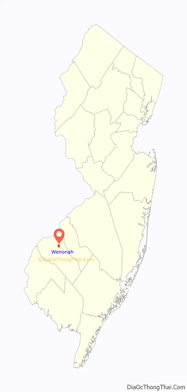
| State: | New Jersey |
| County: | Gloucester County |
| Incorporated: | March 10, 1883 |
| Elevation: | 69 ft (21 m) |
| Total Area: | 1.01 sq mi (2.62 km²) |
| Land Area: | 1.00 sq mi (2.58 km²) |
| Water Area: | 0.02 sq mi (0.04 km²) 1.58% |
| Total Population: | 2,283 |
| Population Density: | 2,293.0/sq mi (885.3/km²) |
| ZIP code: | 08090 |
| Area code: | 856 Exchanges: 415, 464, 468 |
| FIPS code: | 3478110 |
| GNISfeature ID: | 0885434 |
| Website: | www.boroughofwenonah.com |
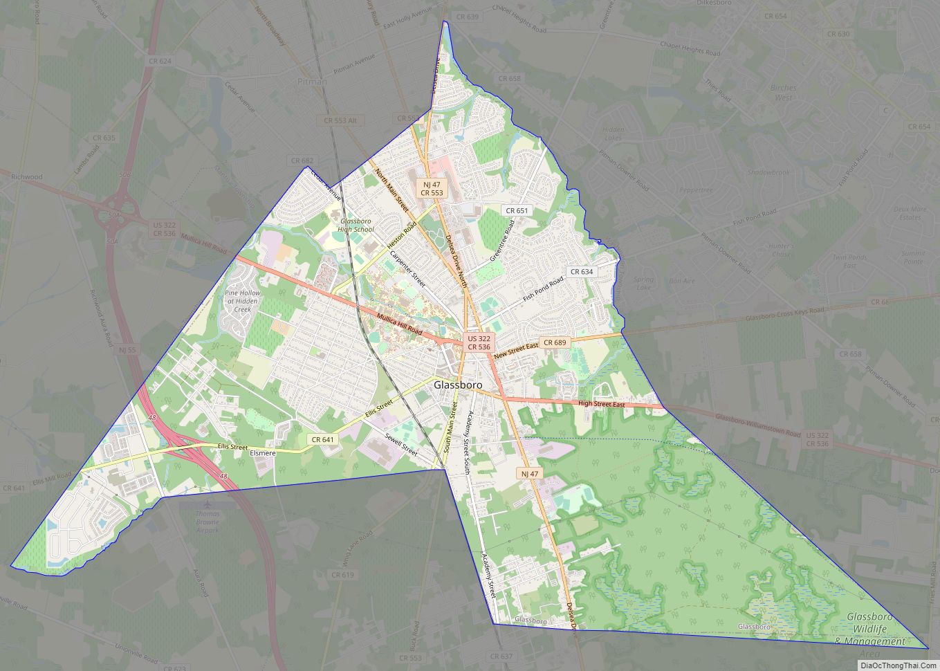
Online Interactive Map
Click on ![]() to view map in "full screen" mode.
to view map in "full screen" mode.
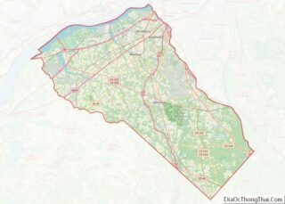
Wenonah location map. Where is Wenonah borough?
History
Wenonah was founded in 1871 by Philadelphia businessmen as a country resort, drawn by its location along the Mantua Creek and on the West Jersey Railroad. Over the next 40 years, numerous dams were installed to create recreational lakes. From 1902 until the Great Depression, Wenonah Military Academy, a private military school, trained cadets there.
Throughout its history, Wenonah has been almost exclusively a residential area. Over 21% of the borough’s land area is conservation land, which is protected by ordinance from development. There are more than 6 miles (9.7 km) of hiking trails are threaded around lakes and alongside waterways in these conserved areas.
The area was hit by a strong EF3 tornado on September 1, 2021, with winds of up to 150 miles per hour (240 km/h), produced by the remnants of Hurricane Ida. More than 200 properties in Wenonah were damaged, the largest number of any municipality hit by the tornado.
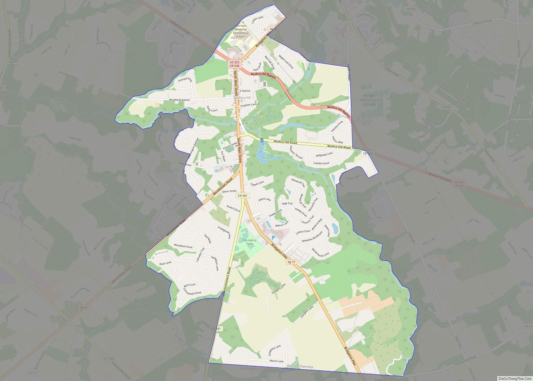
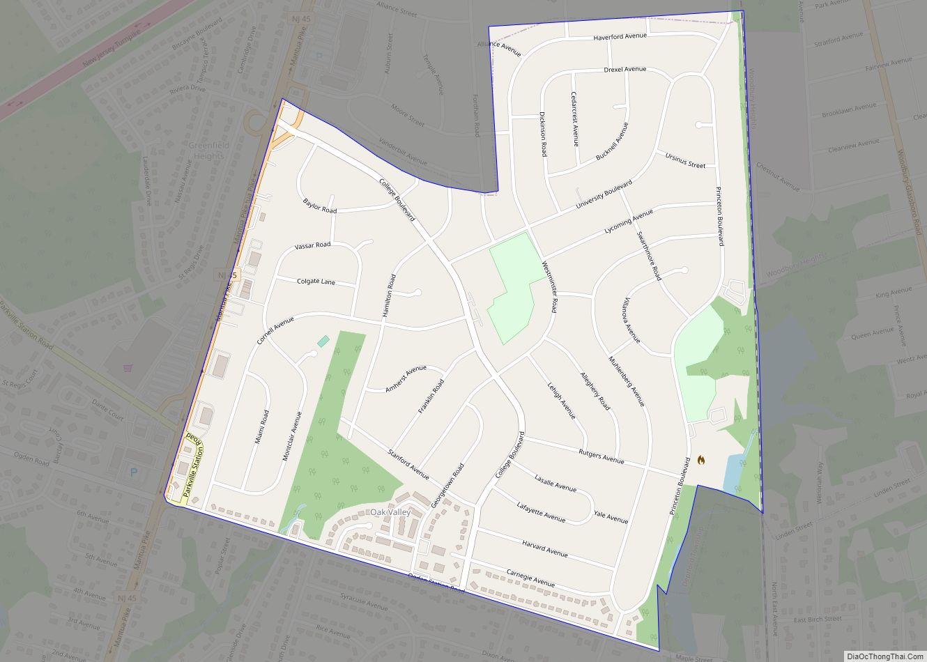
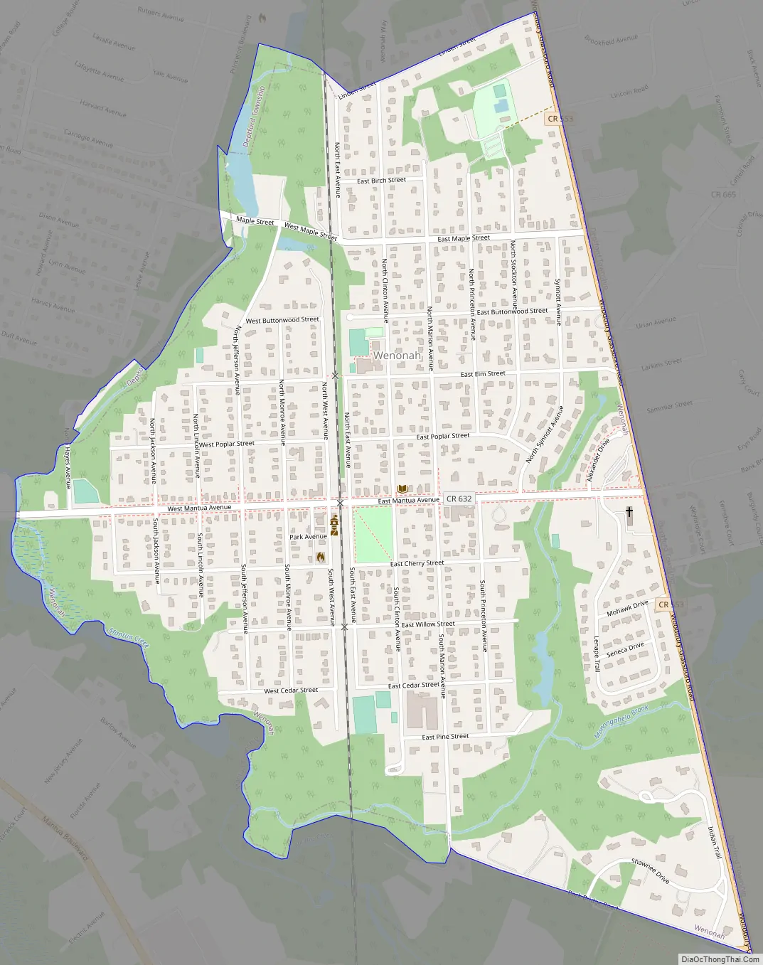
Wenonah Road Map
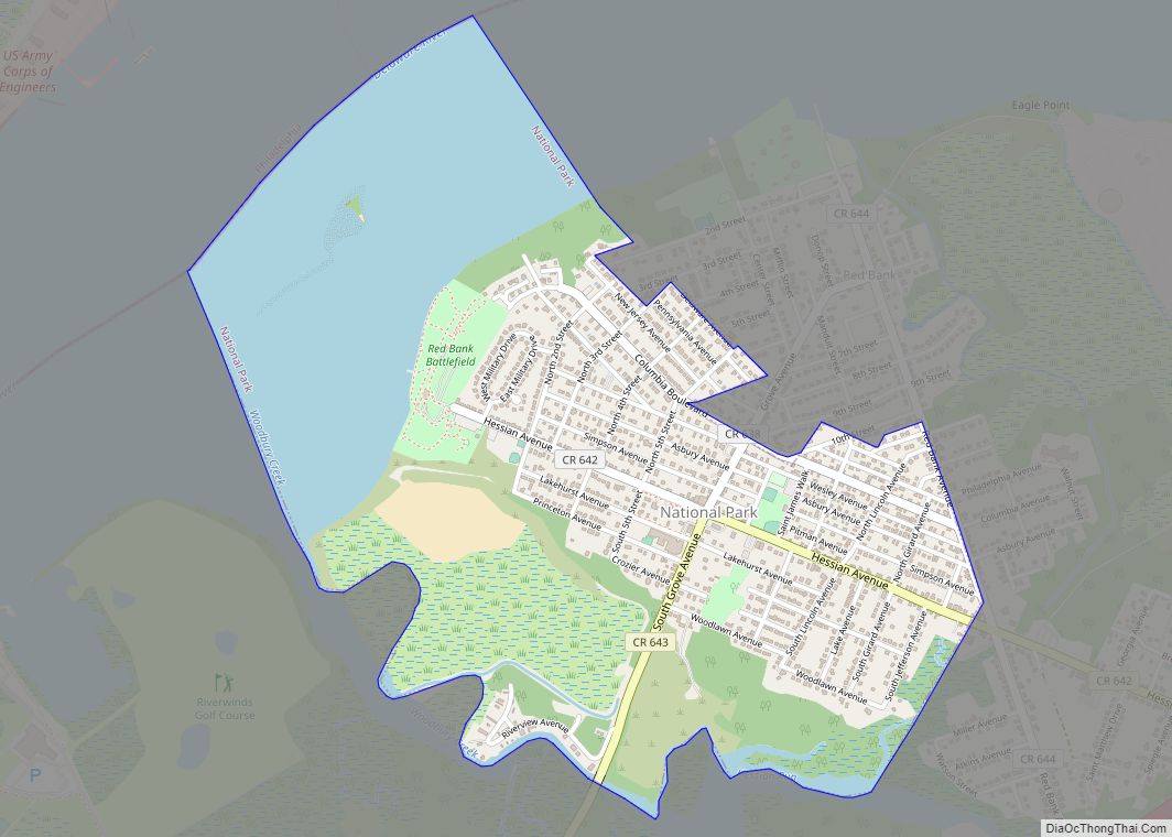
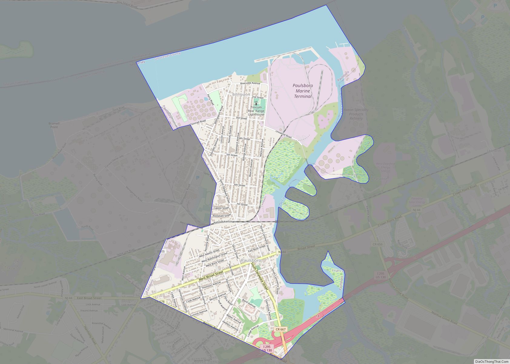
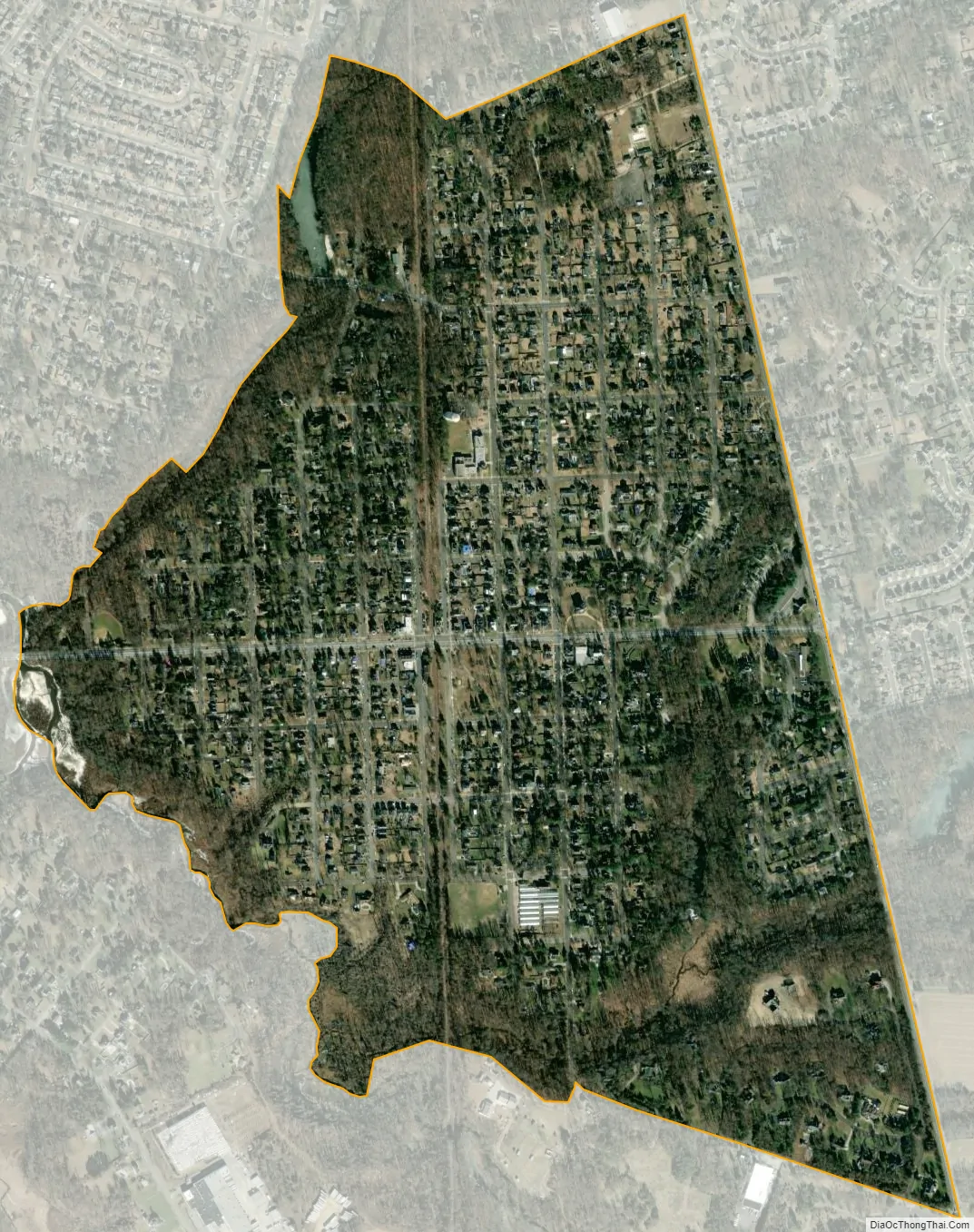
Wenonah city Satellite Map
Geography
According to the U.S. Census Bureau, the borough had a total area of 1.01 square miles (2.62 km), including 1.00 square miles (2.58 km) of land and 0.02 square miles (0.04 km) of water (1.58%).
Wenonah borders Deptford Township and Mantua Township.
See also
Map of New Jersey State and its subdivision: Map of other states:- Alabama
- Alaska
- Arizona
- Arkansas
- California
- Colorado
- Connecticut
- Delaware
- District of Columbia
- Florida
- Georgia
- Hawaii
- Idaho
- Illinois
- Indiana
- Iowa
- Kansas
- Kentucky
- Louisiana
- Maine
- Maryland
- Massachusetts
- Michigan
- Minnesota
- Mississippi
- Missouri
- Montana
- Nebraska
- Nevada
- New Hampshire
- New Jersey
- New Mexico
- New York
- North Carolina
- North Dakota
- Ohio
- Oklahoma
- Oregon
- Pennsylvania
- Rhode Island
- South Carolina
- South Dakota
- Tennessee
- Texas
- Utah
- Vermont
- Virginia
- Washington
- West Virginia
- Wisconsin
- Wyoming