Arroyo Hondo is a census-designated place in Taos County near Taos, New Mexico, United States. As of the 2010 census it had a population of 474.
It is historically notable as the site of the killing of six to eight employees by a force of allied Native Americans at Simeon Turley’s mill and distillery trading post on January 20, 1847. This took place during the Taos Revolt, a populist insurrection of New Mexicans and Native Americans against the new United States territorial regime during the Mexican–American War.
| Name: | Arroyo Hondo CDP |
|---|---|
| LSAD Code: | 57 |
| LSAD Description: | CDP (suffix) |
| State: | New Mexico |
| County: | Taos County |
| Elevation: | 6,790 ft (2,070 m) |
| Total Area: | 1.65 sq mi (4.27 km²) |
| Land Area: | 1.65 sq mi (4.27 km²) |
| Water Area: | 0.00 sq mi (0.00 km²) |
| Total Population: | 428 |
| Population Density: | 259.71/sq mi (100.29/km²) |
| ZIP code: | 87513 |
| Area code: | 575 |
| FIPS code: | 3505010 |
Online Interactive Map
Click on ![]() to view map in "full screen" mode.
to view map in "full screen" mode.
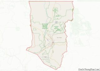
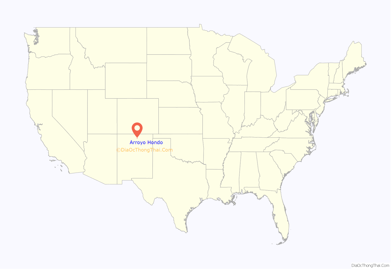
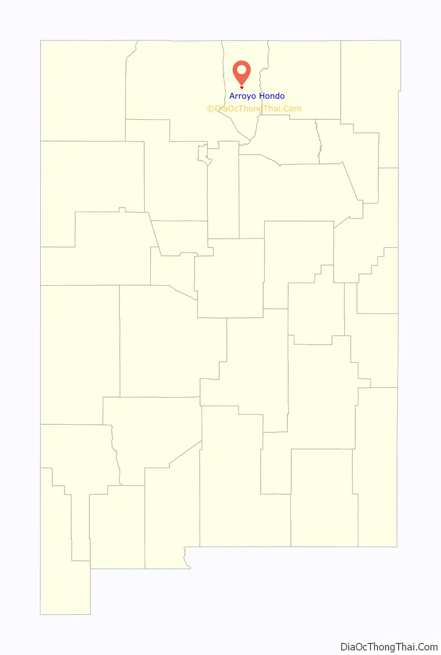
Arroyo Hondo location map. Where is Arroyo Hondo CDP?
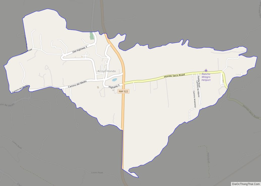
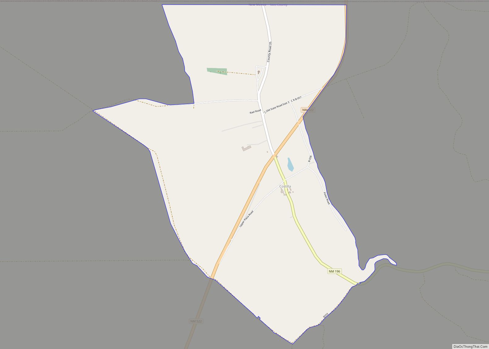
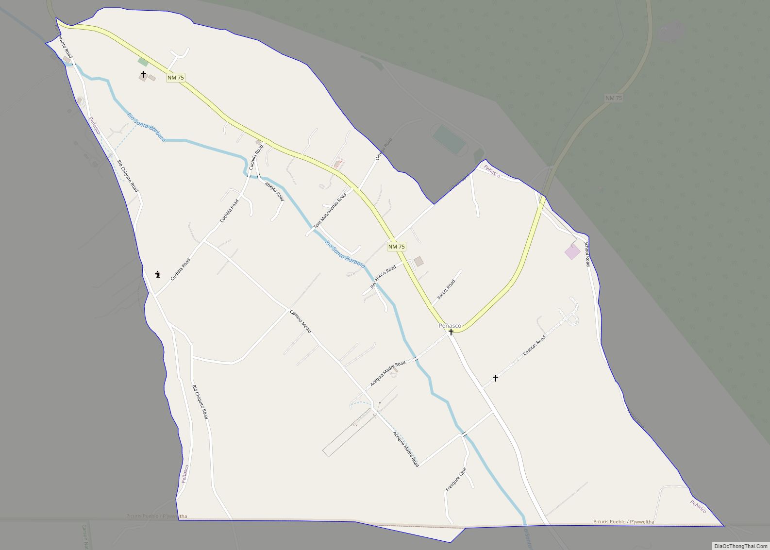
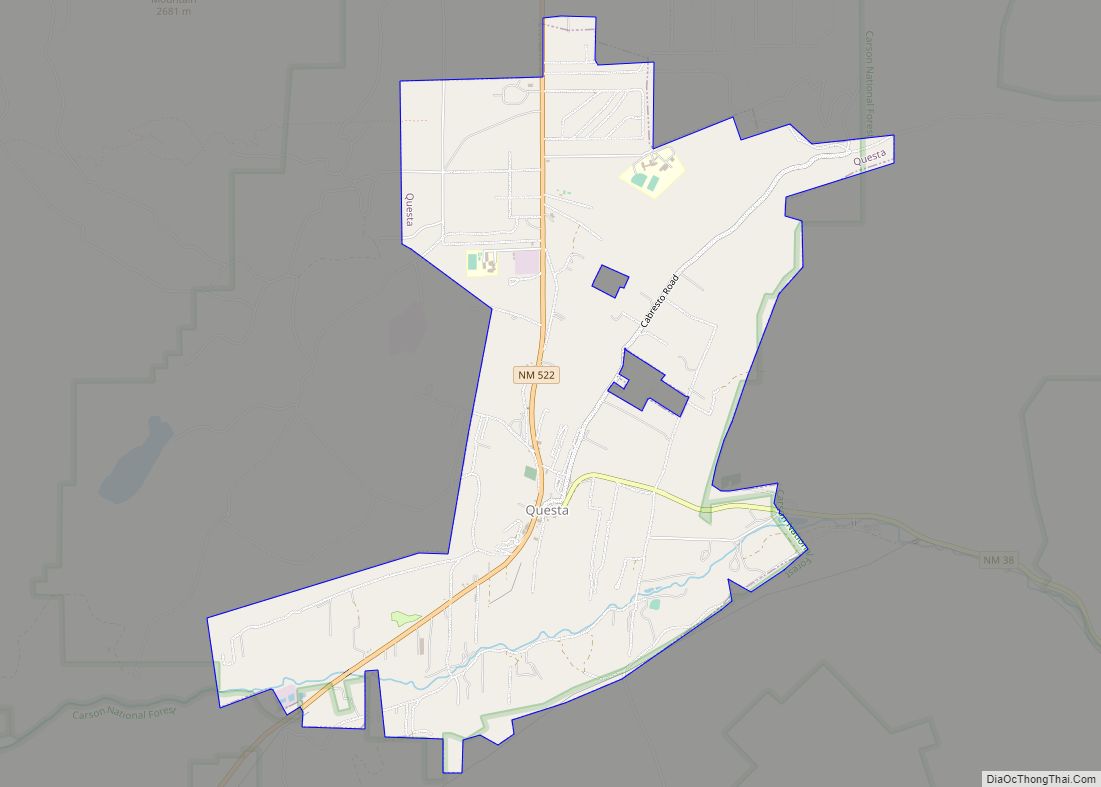
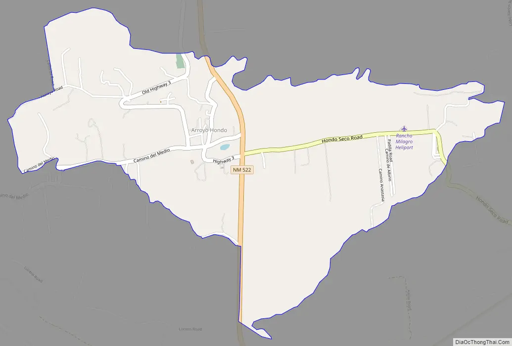
Arroyo Hondo Road Map
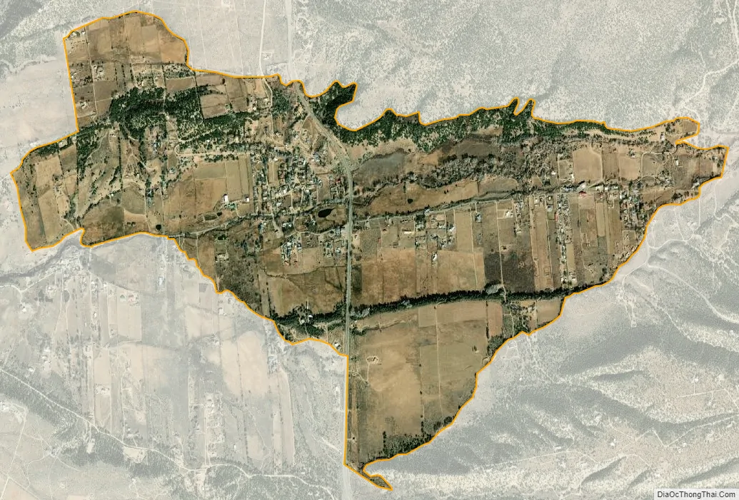
Arroyo Hondo city Satellite Map
See also
Map of New Mexico State and its subdivision: Map of other states:- Alabama
- Alaska
- Arizona
- Arkansas
- California
- Colorado
- Connecticut
- Delaware
- District of Columbia
- Florida
- Georgia
- Hawaii
- Idaho
- Illinois
- Indiana
- Iowa
- Kansas
- Kentucky
- Louisiana
- Maine
- Maryland
- Massachusetts
- Michigan
- Minnesota
- Mississippi
- Missouri
- Montana
- Nebraska
- Nevada
- New Hampshire
- New Jersey
- New Mexico
- New York
- North Carolina
- North Dakota
- Ohio
- Oklahoma
- Oregon
- Pennsylvania
- Rhode Island
- South Carolina
- South Dakota
- Tennessee
- Texas
- Utah
- Vermont
- Virginia
- Washington
- West Virginia
- Wisconsin
- Wyoming