Arroyo Seco is a census-designated place in Taos County near Taos, New Mexico. Arroyo Seco’s economy is based on tourism and services to residents of retirement and vacation homes.
Arroyo Seco has a post office, with the ZIP code 87514. The 87514 ZIP Code Tabulation Area had a population of 1,310 at the 2000 census, with 996 housing units, a land area of 53.63 sq. miles, a water area of 0.05 sq. mile, and a population density of 24.43 people per sq. mile at Census 2000. Arroyo Seco’s elevation is 7,634 feet.
| Name: | Arroyo Seco CDP |
|---|---|
| LSAD Code: | 57 |
| LSAD Description: | CDP (suffix) |
| State: | New Mexico |
| County: | Taos County |
| Elevation: | 7,634 ft (2,327 m) |
| Total Area: | 6.83 sq mi (17.68 km²) |
| Land Area: | 6.83 sq mi (17.68 km²) |
| Water Area: | 0.00 sq mi (0.00 km²) |
| Total Population: | 1,979 |
| Population Density: | 289.92/sq mi (111.94/km²) |
| ZIP code: | 87514 |
| Area code: | 575 |
| FIPS code: | 3505150 |
Online Interactive Map
Click on ![]() to view map in "full screen" mode.
to view map in "full screen" mode.
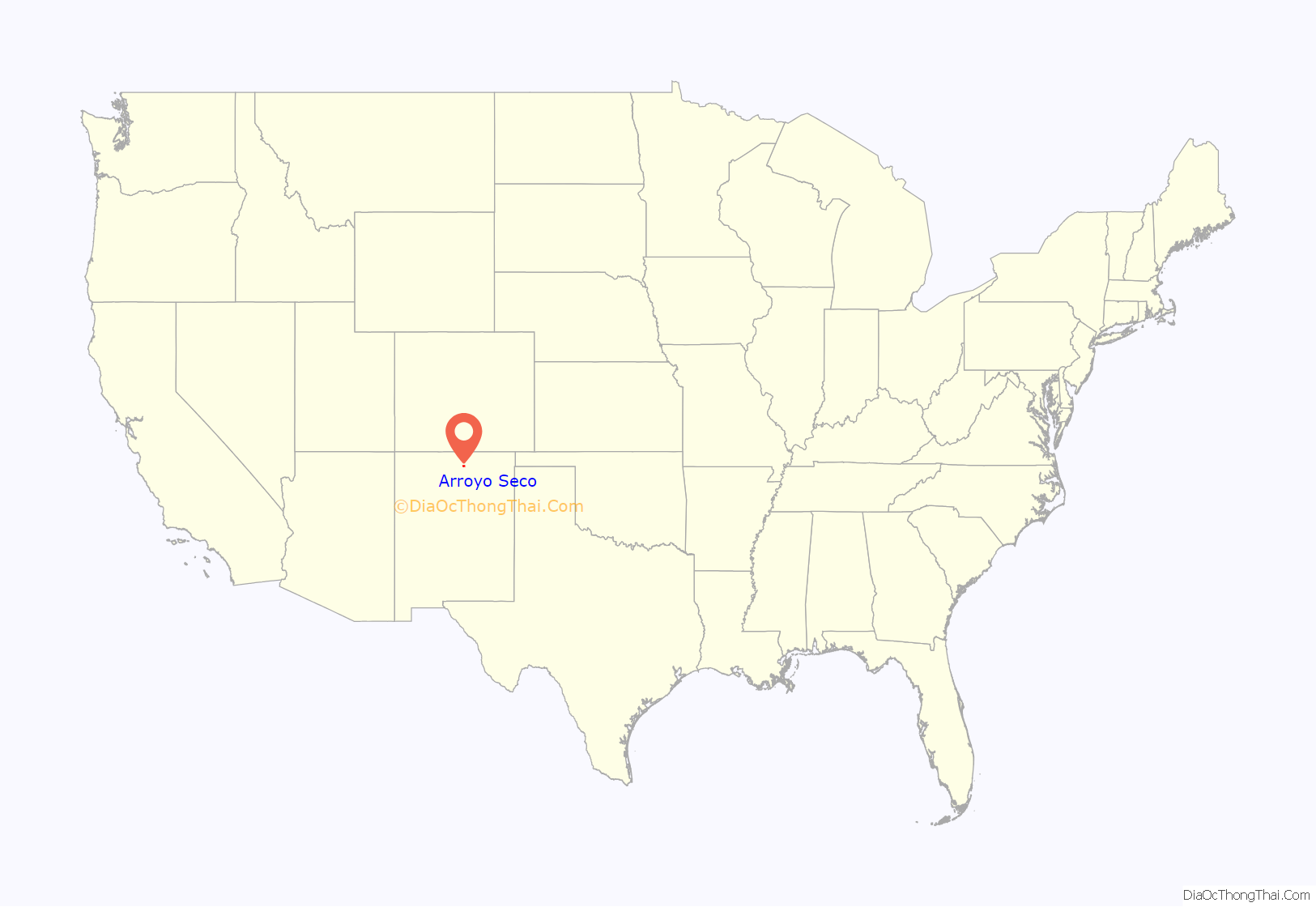
Arroyo Seco location map. Where is Arroyo Seco CDP?
History
Arroyo Seco was settled in 1804, on a Spanish land grant made on October 7, 1745. The Church of the Most Holy Trinity was completed in 1834 and has recently been restored.
Overlooking Arroyo Seco stands Lucero Peak, a 10,780 feet (3,290 m) rock formation. Housed in the Peak is a cave that is sacred to the local Native American population of Taos Pueblo. The cave inspired D.H. Lawrence’s short story “The Woman who Rode Away” after he visited it in May 1924 with Mabel Dodge Luhan, her husband Tony, and Lawrence’s wife Frieda.
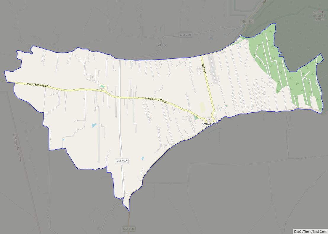
Arroyo Seco Road Map
Arroyo Seco city Satellite Map
See also
Map of New Mexico State and its subdivision: Map of other states:- Alabama
- Alaska
- Arizona
- Arkansas
- California
- Colorado
- Connecticut
- Delaware
- District of Columbia
- Florida
- Georgia
- Hawaii
- Idaho
- Illinois
- Indiana
- Iowa
- Kansas
- Kentucky
- Louisiana
- Maine
- Maryland
- Massachusetts
- Michigan
- Minnesota
- Mississippi
- Missouri
- Montana
- Nebraska
- Nevada
- New Hampshire
- New Jersey
- New Mexico
- New York
- North Carolina
- North Dakota
- Ohio
- Oklahoma
- Oregon
- Pennsylvania
- Rhode Island
- South Carolina
- South Dakota
- Tennessee
- Texas
- Utah
- Vermont
- Virginia
- Washington
- West Virginia
- Wisconsin
- Wyoming
