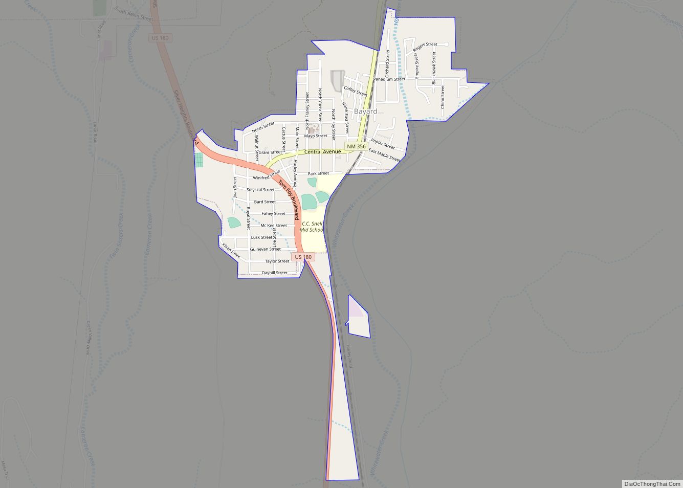
Bayard is a city in Grant County, New Mexico, United States. It is near Santa Rita, east of Silver City. The population was 2,328 at the 2010 census, down from 2,534 in 2000. This city was incorporated on August 20, 1938.
| Name: | Bayard city |
|---|---|
| LSAD Code: | 25 |
| LSAD Description: | city (suffix) |
| State: | New Mexico |
| County: | Grant County |
| Elevation: | 5,820 ft (1,774 m) |
| Total Area: | 0.95 sq mi (2.47 km²) |
| Land Area: | 0.95 sq mi (2.46 km²) |
| Water Area: | 0.00 sq mi (0.01 km²) |
| Total Population: | 2,116 |
| Population Density: | 2,225.03/sq mi (859.36/km²) |
| ZIP code: | 88023 |
| Area code: | 575 |
| FIPS code: | 3506270 |
| GNISfeature ID: | 0903614 |
| Website: | www.cityofbayardnm.com |
Online Interactive Map
Click on ![]() to view map in "full screen" mode.
to view map in "full screen" mode.
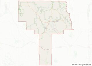
Bayard location map. Where is Bayard city?
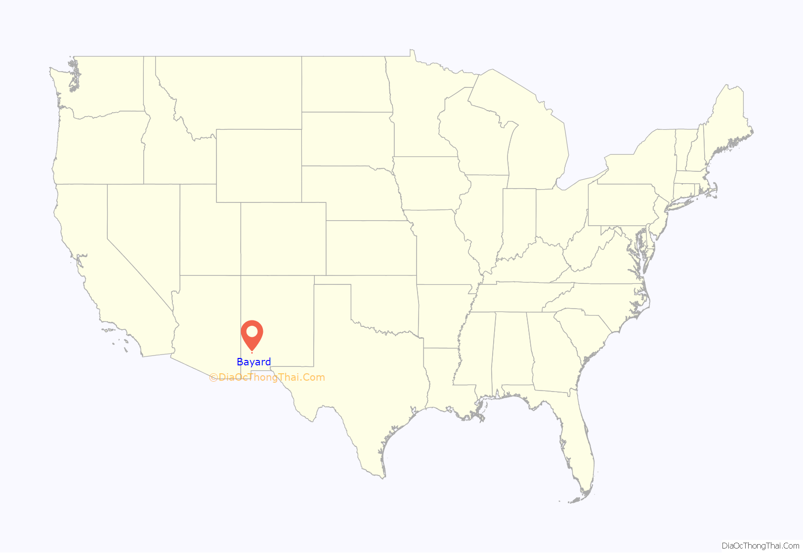
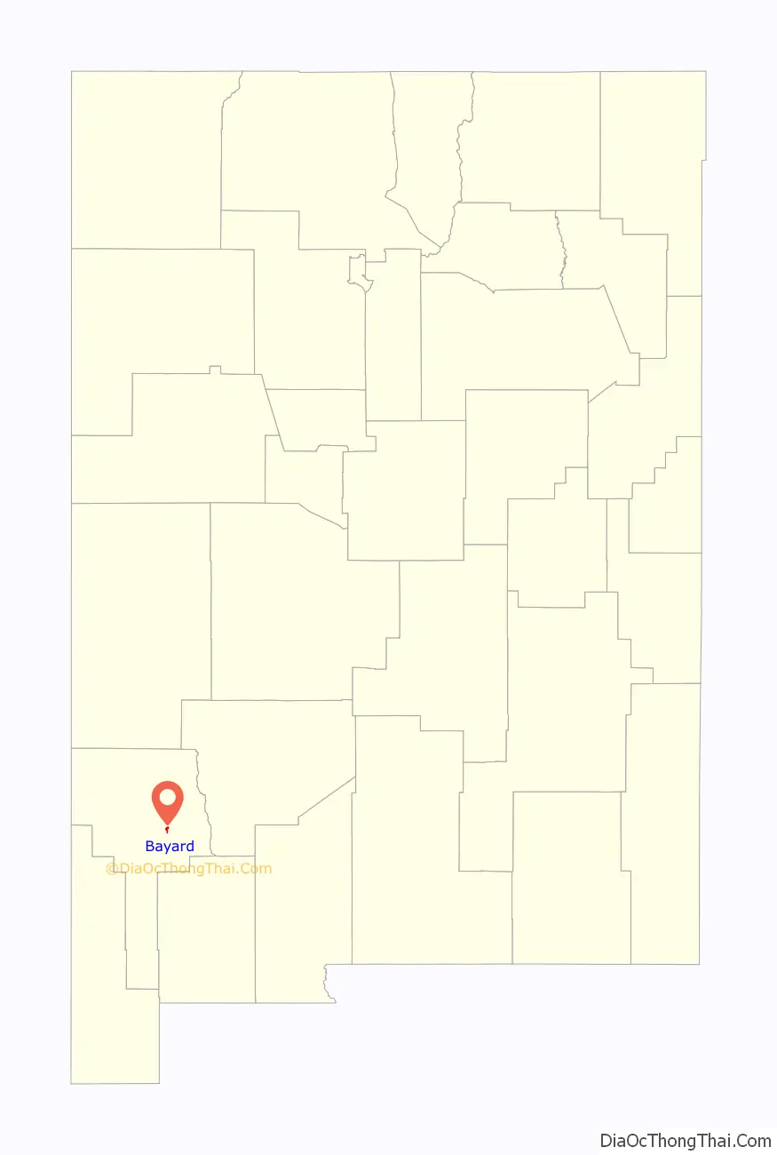
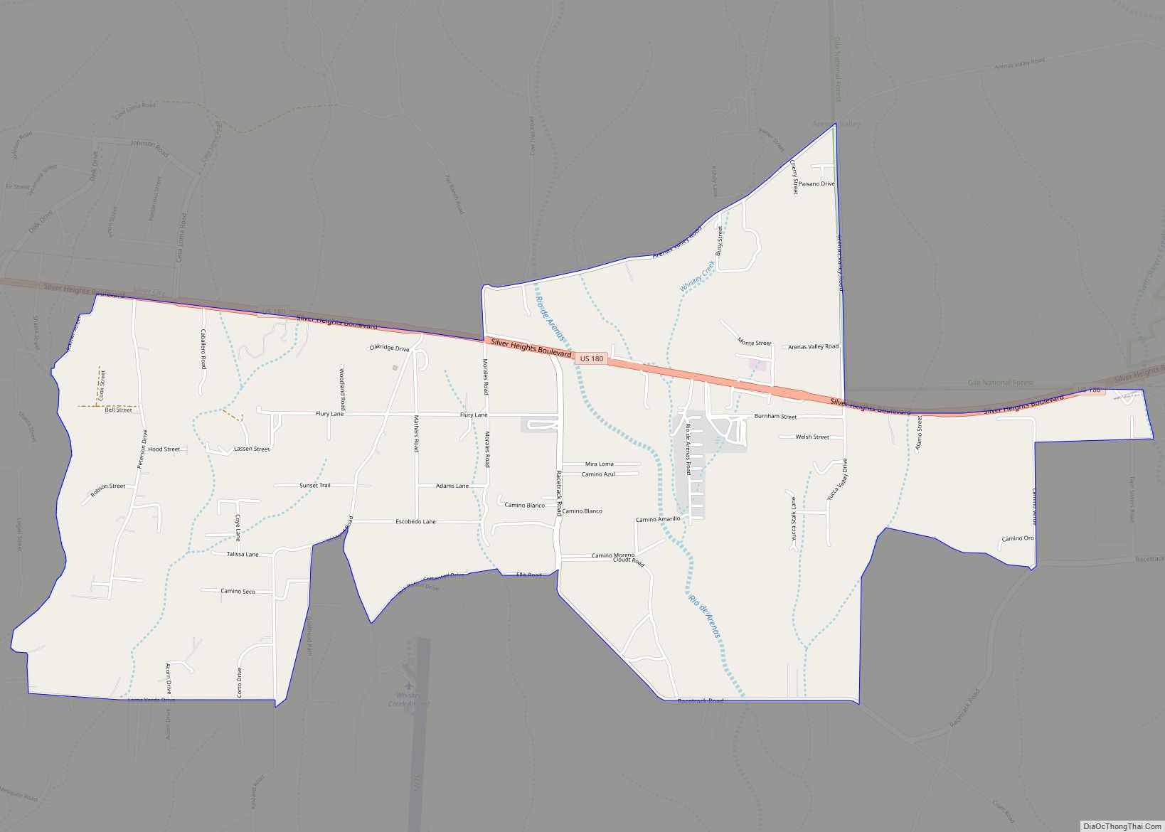
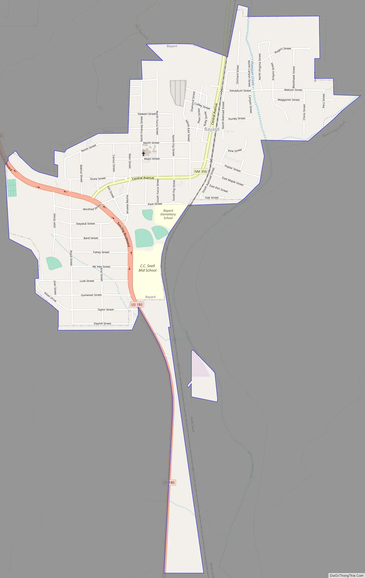
Bayard Road Map
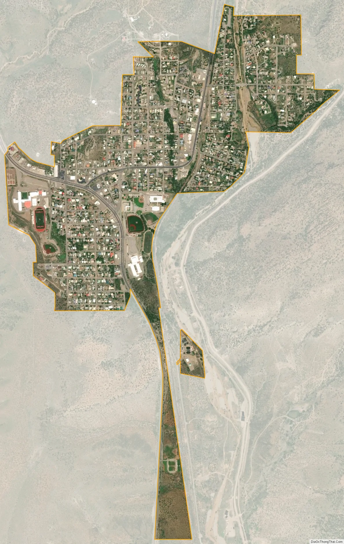
Bayard city Satellite Map
Geography
It is located in east-central Grant County at 32°45′34″N 108°8′3″W / 32.75944°N 108.13417°W / 32.75944; -108.13417 (32.759569, -108.134035). According to the United States Census Bureau, the town has a total area of 0.95 square miles (2.45 km), all land. The city is in the valley of Whitewater Creek, a seasonal south-flowing tributary of the Mimbres River.
U.S. Route 180 passes through Bayard as Tom Foy Boulevard and Central Avenue, leading northwest 2 miles (3 km) to Santa Clara and 9 miles (14 km) to Silver City, and south 42 miles (68 km) to Deming and Interstate 10. New Mexico State Road 356 leads northeast from Bayard 5 miles (8 km) up the Whitewater Creek valley to Hanover.
Bayard is located in the southern foothills of the Pinos Altos Range and Mogollon Mountains in the southwestern portion of New Mexico and situated east of the Continental Divide at an elevation of approximately 5,800 feet (1,800 m). Gila National Forest lies north from here. A semi-arid desert of predominantly grasses and yucca is in Bayard’s southern portion.
See also
Map of New Mexico State and its subdivision: Map of other states:- Alabama
- Alaska
- Arizona
- Arkansas
- California
- Colorado
- Connecticut
- Delaware
- District of Columbia
- Florida
- Georgia
- Hawaii
- Idaho
- Illinois
- Indiana
- Iowa
- Kansas
- Kentucky
- Louisiana
- Maine
- Maryland
- Massachusetts
- Michigan
- Minnesota
- Mississippi
- Missouri
- Montana
- Nebraska
- Nevada
- New Hampshire
- New Jersey
- New Mexico
- New York
- North Carolina
- North Dakota
- Ohio
- Oklahoma
- Oregon
- Pennsylvania
- Rhode Island
- South Carolina
- South Dakota
- Tennessee
- Texas
- Utah
- Vermont
- Virginia
- Washington
- West Virginia
- Wisconsin
- Wyoming