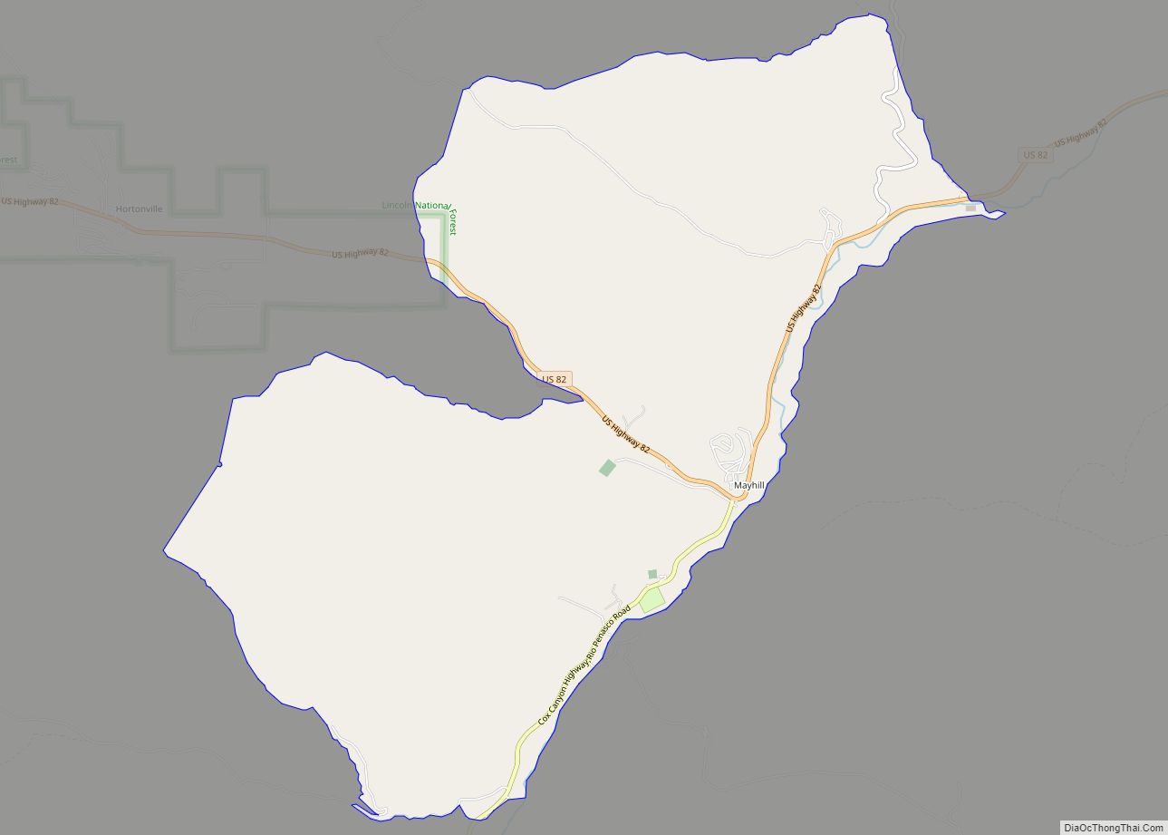
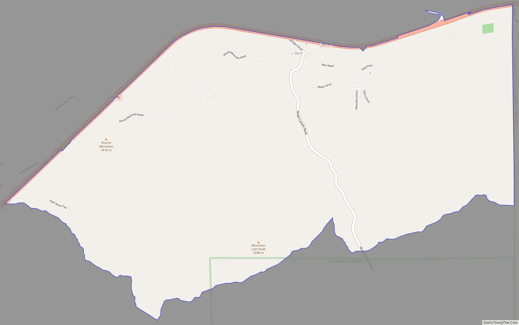
Bent is a census-designated place in Otero County, New Mexico, United States. Its population was 119 as of the 2010 census. Bent has a post office with ZIP code 88314. U.S. Route 70 passes through the community.
| Name: | Bent CDP |
|---|---|
| LSAD Code: | 57 |
| LSAD Description: | CDP (suffix) |
| State: | New Mexico |
| County: | Otero County |
| Elevation: | 6,001 ft (1,829 m) |
| Total Area: | 6.14 sq mi (15.90 km²) |
| Land Area: | 6.14 sq mi (15.89 km²) |
| Water Area: | 0.00 sq mi (0.01 km²) |
| Total Population: | 150 |
| Population Density: | 24.45/sq mi (9.44/km²) |
| ZIP code: | 88314 |
| Area code: | 575 |
| FIPS code: | 3506760 |
| GNISfeature ID: | 2584054 |
Online Interactive Map
Click on ![]() to view map in "full screen" mode.
to view map in "full screen" mode.
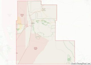
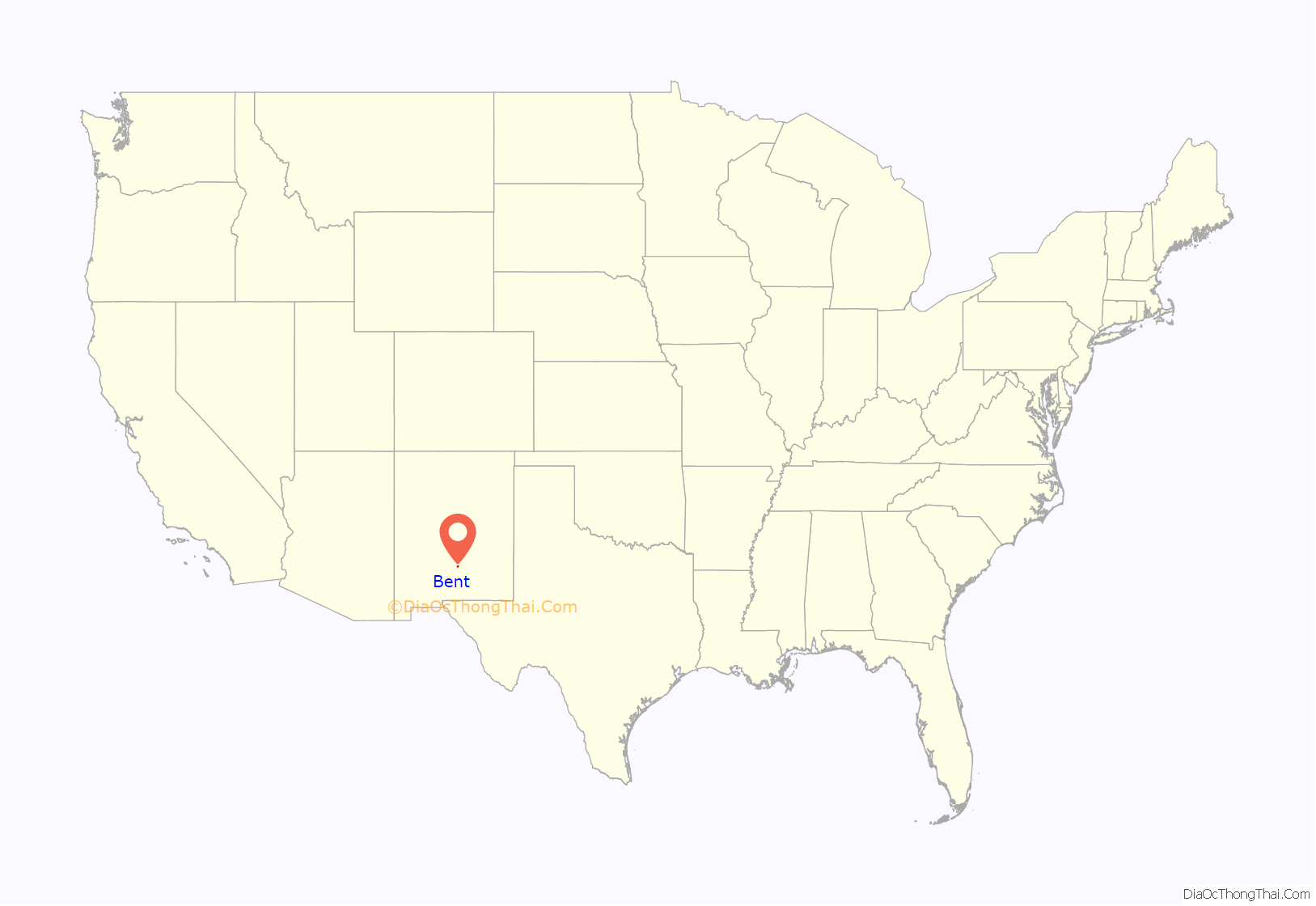
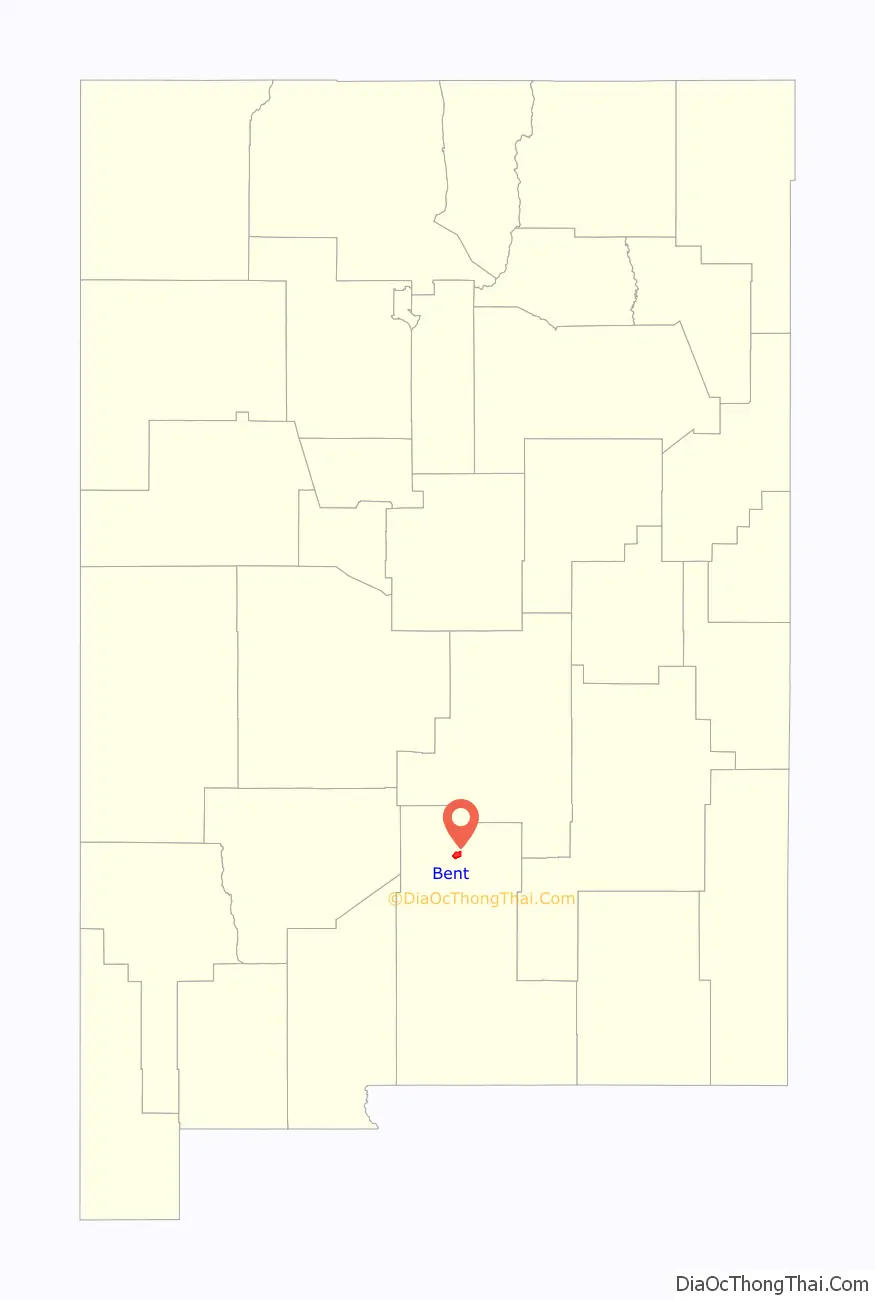
Bent location map. Where is Bent CDP?
History
A post office called Bent has been in operation since 1906. The community has the name of George Bent, a businessperson in the local mining industry.
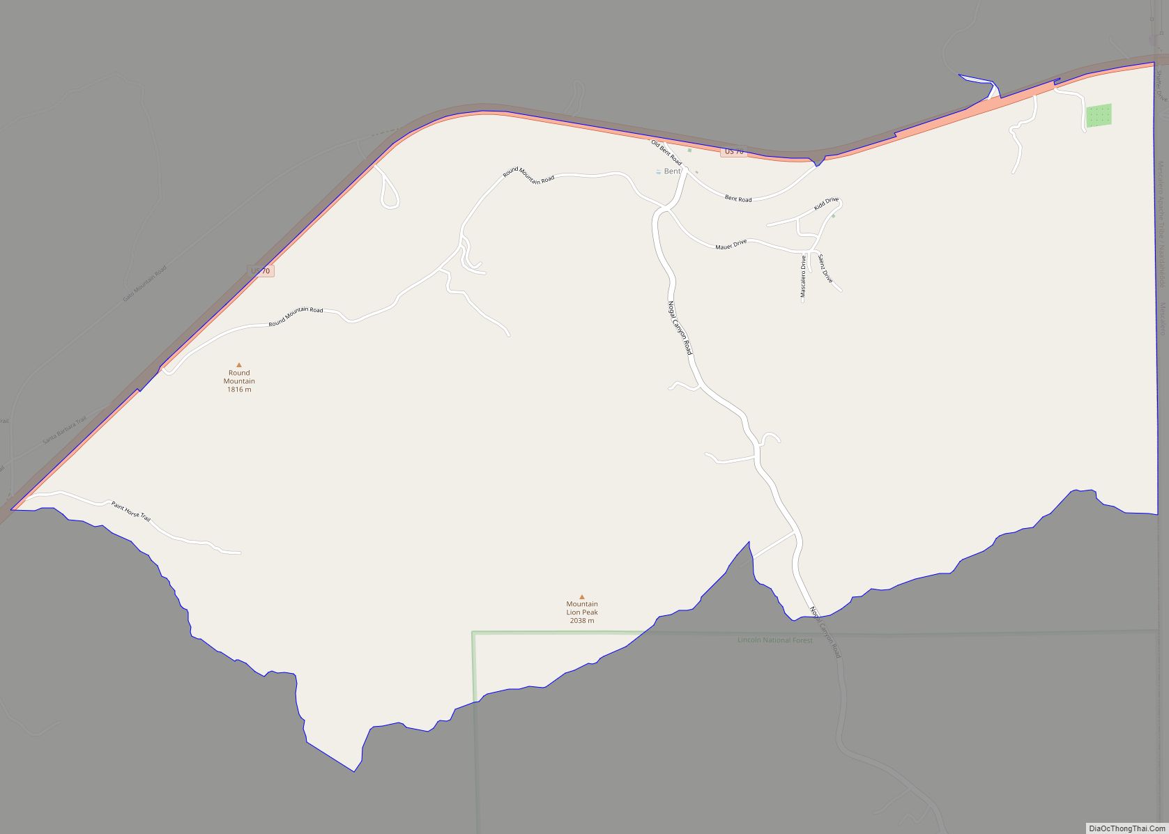
Bent Road Map
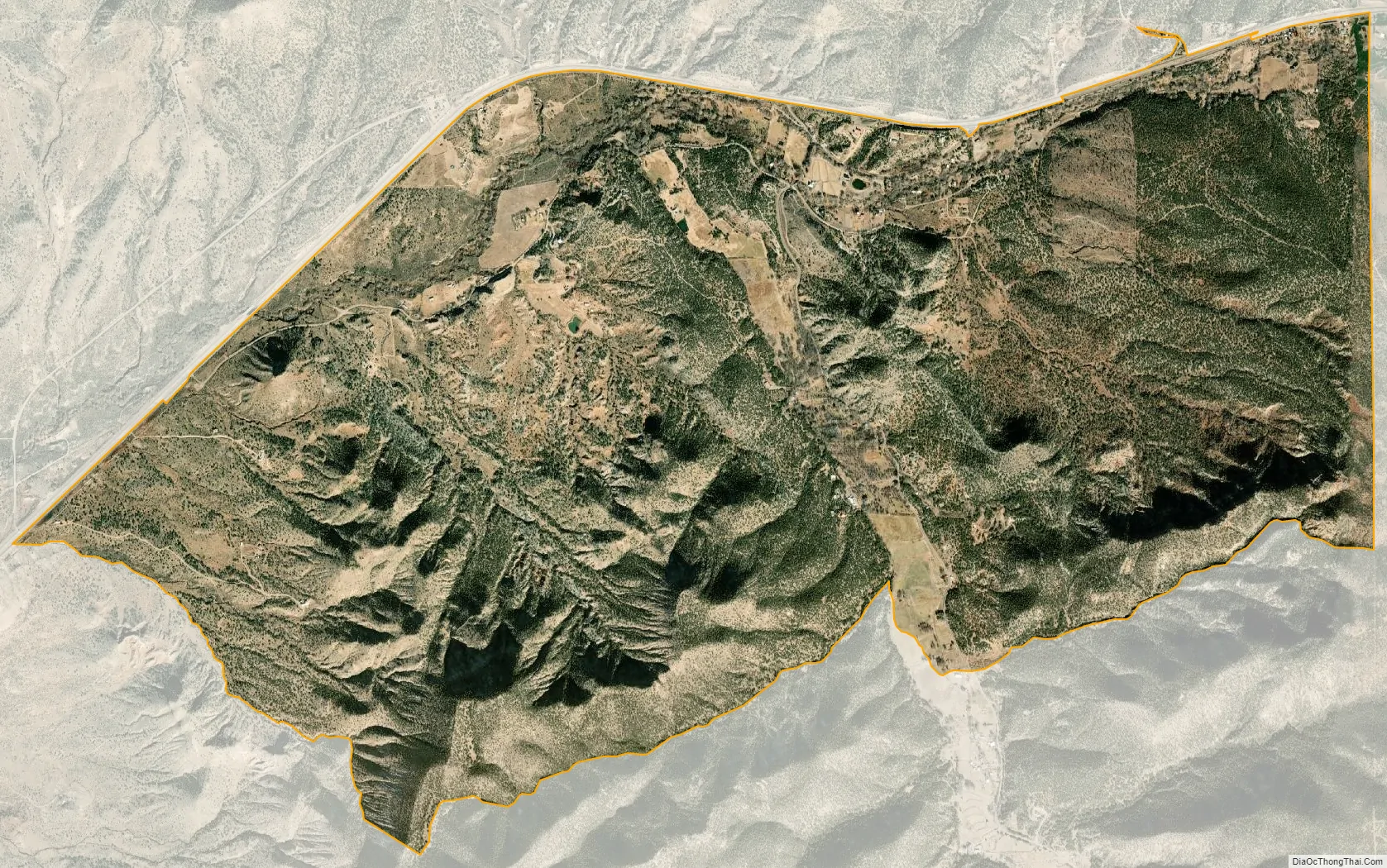
Bent city Satellite Map
See also
Map of New Mexico State and its subdivision: Map of other states:- Alabama
- Alaska
- Arizona
- Arkansas
- California
- Colorado
- Connecticut
- Delaware
- District of Columbia
- Florida
- Georgia
- Hawaii
- Idaho
- Illinois
- Indiana
- Iowa
- Kansas
- Kentucky
- Louisiana
- Maine
- Maryland
- Massachusetts
- Michigan
- Minnesota
- Mississippi
- Missouri
- Montana
- Nebraska
- Nevada
- New Hampshire
- New Jersey
- New Mexico
- New York
- North Carolina
- North Dakota
- Ohio
- Oklahoma
- Oregon
- Pennsylvania
- Rhode Island
- South Carolina
- South Dakota
- Tennessee
- Texas
- Utah
- Vermont
- Virginia
- Washington
- West Virginia
- Wisconsin
- Wyoming