Berino is a census-designated place in Doña Ana County, New Mexico, United States. Berino is located along Interstate 10, 23 miles (37 km) south of Las Cruces. As of the 2010 census, its population was 1,441. The village of Berino is populated to 98% by Hispanics.
The church of the small New Mexican community is called the Mission de la Inmaculada Concepción.
| Name: | Berino CDP |
|---|---|
| LSAD Code: | 57 |
| LSAD Description: | CDP (suffix) |
| State: | New Mexico |
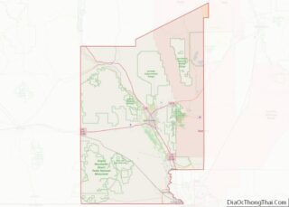
| County: | Doña Ana County |
| Elevation: | 3,832 ft (1,168 m) |
| Total Area: | 0.94 sq mi (2.43 km²) |
| Land Area: | 0.94 sq mi (2.43 km²) |
| Water Area: | 0.00 sq mi (0.00 km²) |
| Total Population: | 1,651 |
| Population Density: | 1,756.38/sq mi (678.33/km²) |
| Area code: | 575 |
| FIPS code: | 3506830 |
| GNISfeature ID: | 920560 |
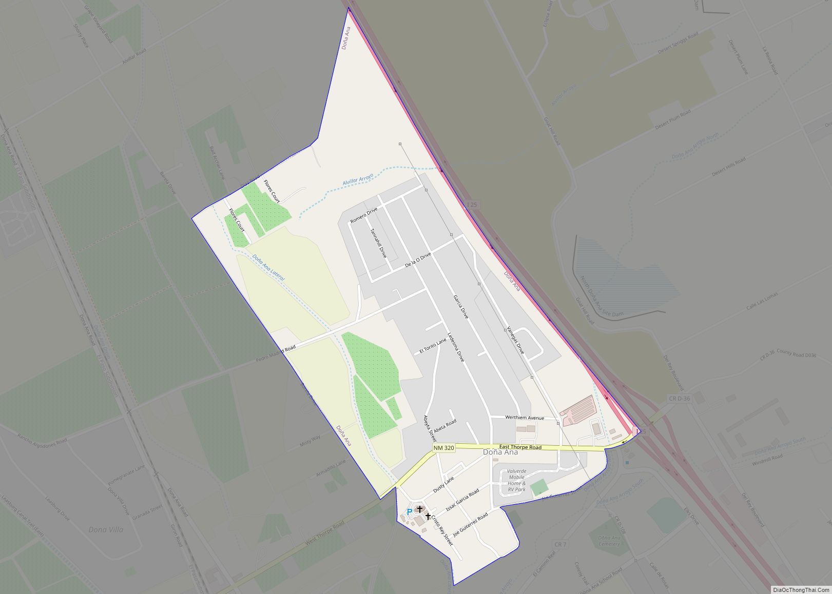
Online Interactive Map
Click on ![]() to view map in "full screen" mode.
to view map in "full screen" mode.
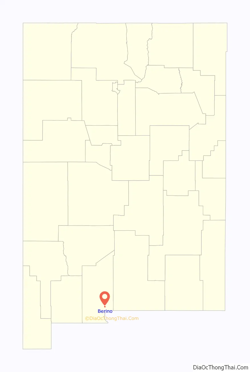
Berino location map. Where is Berino CDP?

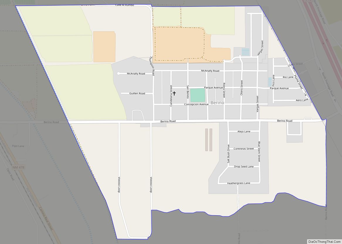
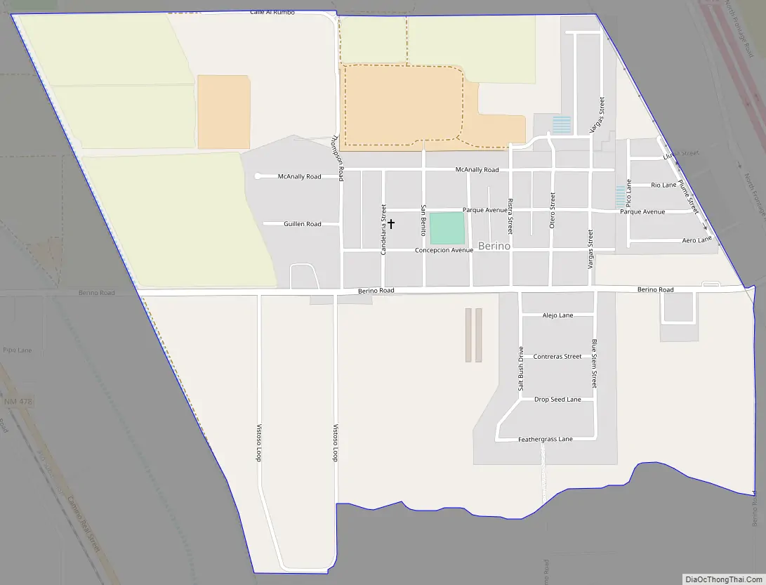
Berino Road Map
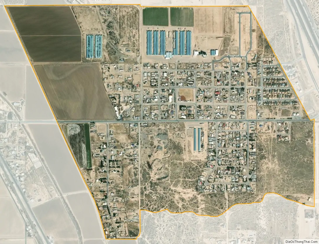
Berino city Satellite Map
See also
Map of New Mexico State and its subdivision: Map of other states:- Alabama
- Alaska
- Arizona
- Arkansas
- California
- Colorado
- Connecticut
- Delaware
- District of Columbia
- Florida
- Georgia
- Hawaii
- Idaho
- Illinois
- Indiana
- Iowa
- Kansas
- Kentucky
- Louisiana
- Maine
- Maryland
- Massachusetts
- Michigan
- Minnesota
- Mississippi
- Missouri
- Montana
- Nebraska
- Nevada
- New Hampshire
- New Jersey
- New Mexico
- New York
- North Carolina
- North Dakota
- Ohio
- Oklahoma
- Oregon
- Pennsylvania
- Rhode Island
- South Carolina
- South Dakota
- Tennessee
- Texas
- Utah
- Vermont
- Virginia
- Washington
- West Virginia
- Wisconsin
- Wyoming