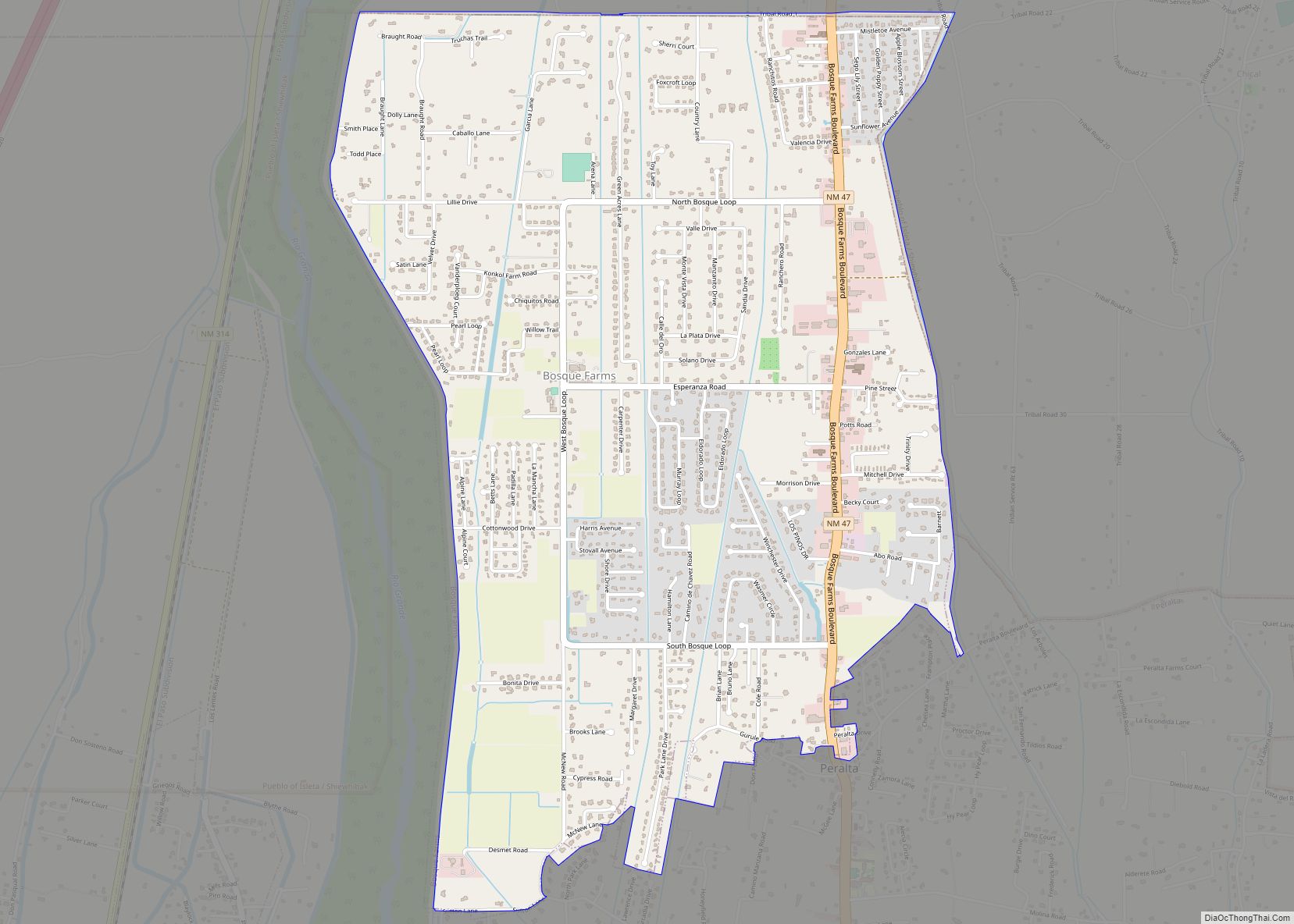
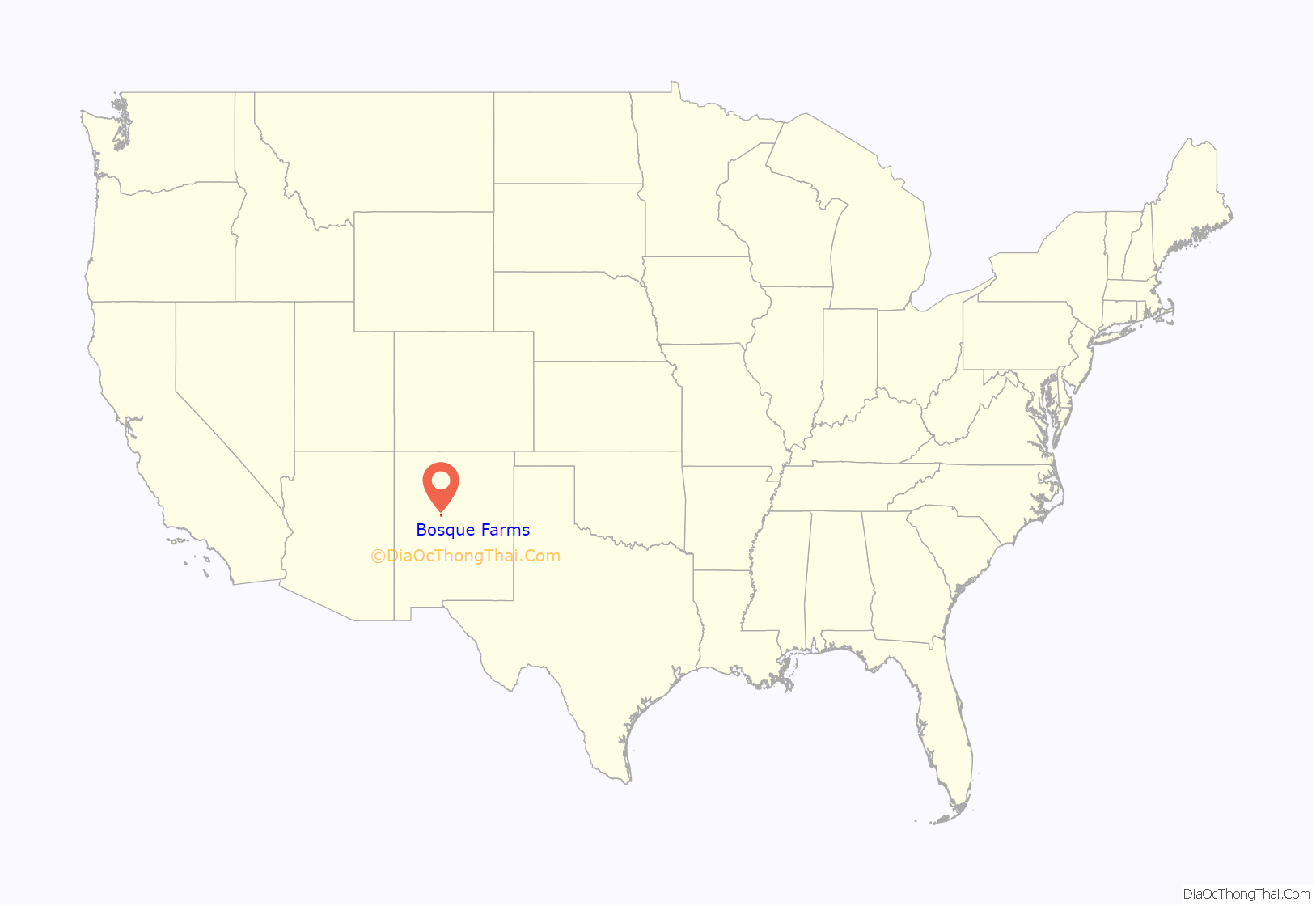
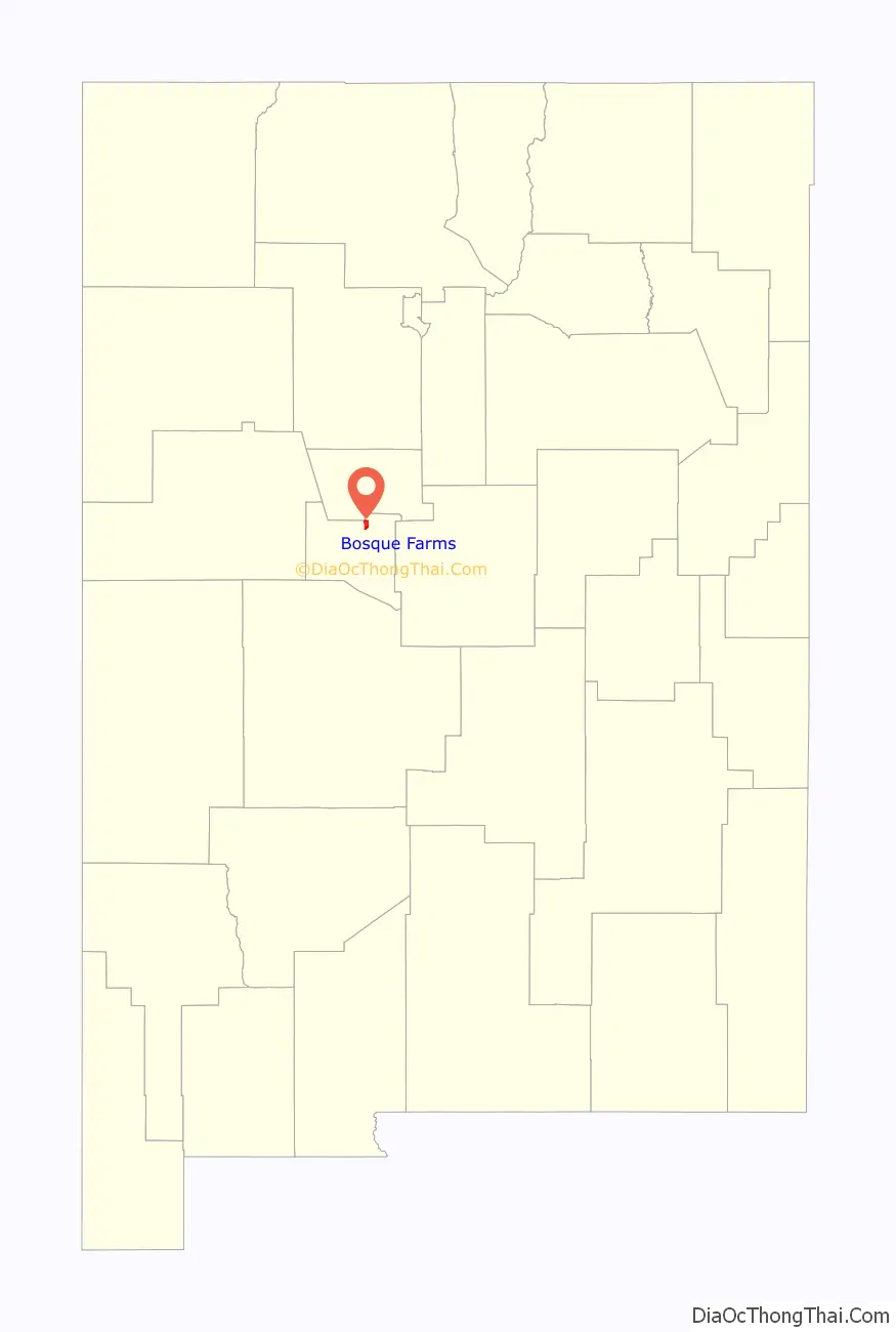
Bosque Farms is a village in Valencia County, New Mexico, United States. The population was 3,904 at the 2010 census. It is part of the Albuquerque Metropolitan Statistical Area.
| Name: | Bosque Farms village |
|---|---|
| LSAD Code: | 47 |
| LSAD Description: | village (suffix) |
| State: | New Mexico |
| County: | Valencia County |
| Elevation: | 4,865 ft (1,483 m) |
| Total Area: | 3.94 sq mi (10.19 km²) |
| Land Area: | 3.94 sq mi (10.19 km²) |
| Water Area: | 0.00 sq mi (0.00 km²) |
| Total Population: | 4,020 |
| Population Density: | 1,021.60/sq mi (394.44/km²) |
| ZIP code: | 87042, 87068 |
| Area code: | 505 |
| FIPS code: | 3508580 |
| GNISfeature ID: | 0932919 |
| Website: | www.bosquefarmsnm.gov |
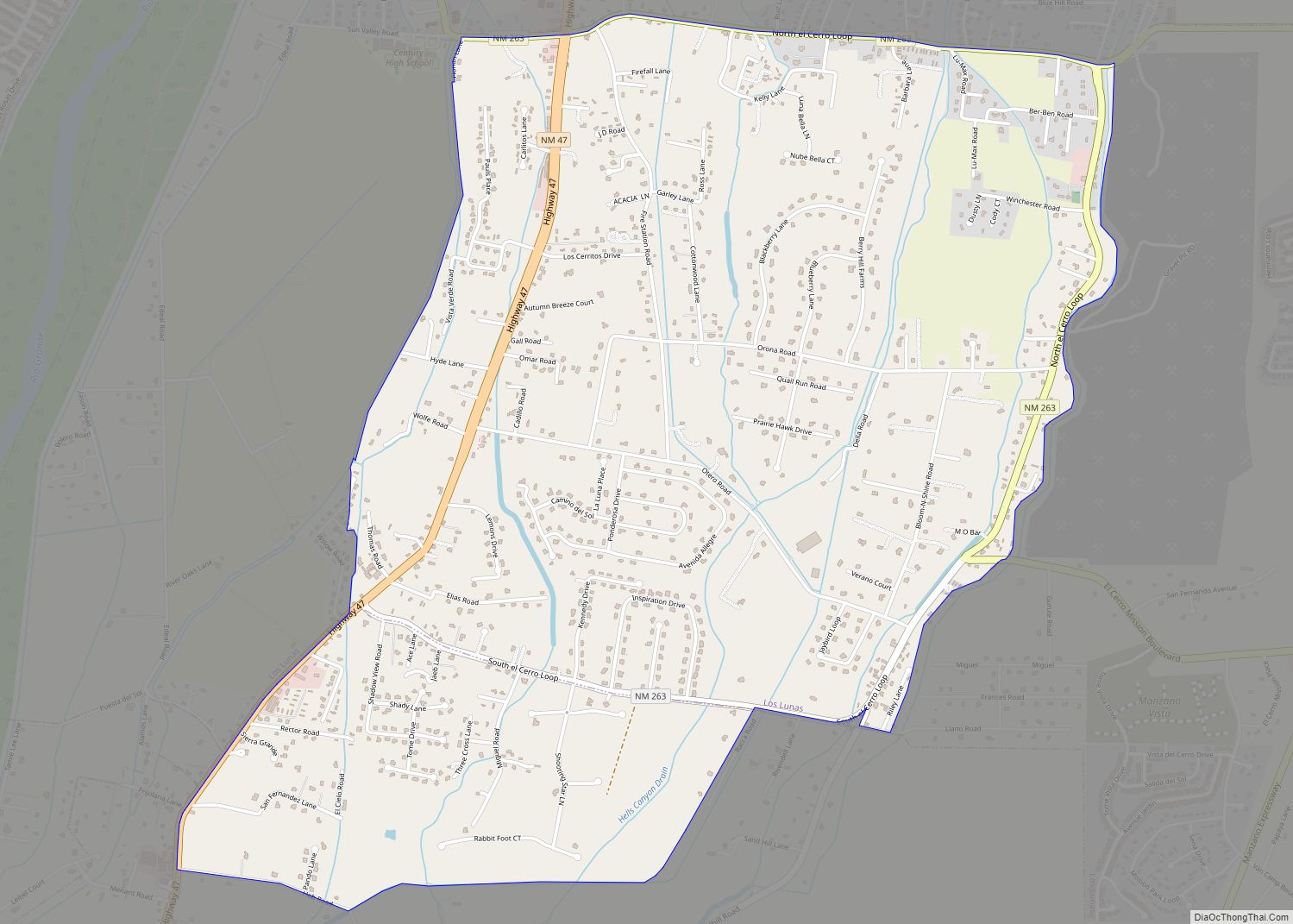
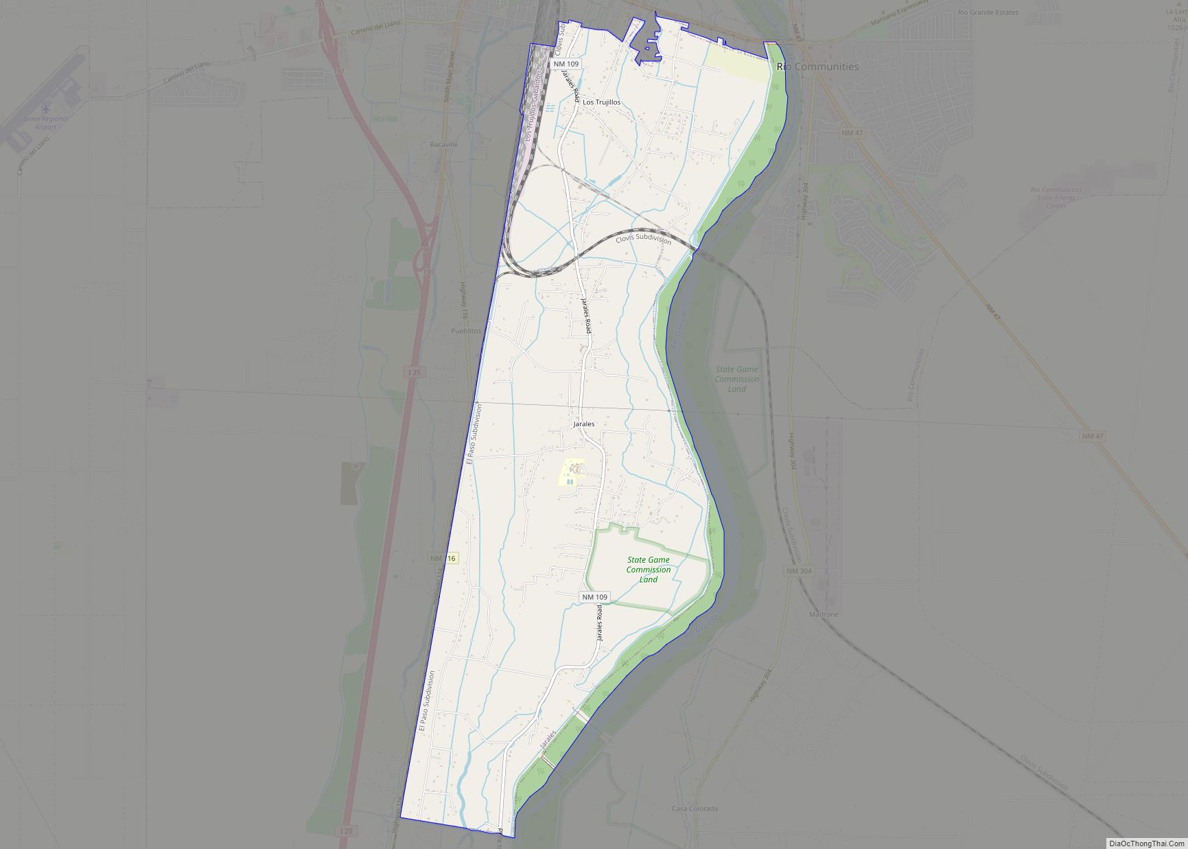
Online Interactive Map
Click on ![]() to view map in "full screen" mode.
to view map in "full screen" mode.
Bosque Farms location map. Where is Bosque Farms village?
History
What is known as Bosque Farms today was part of a Spanish land grant dating from 1716, originally known as Bosque del Pino (Forest Pines), or Los Pinos.
The land changed hands numerous times before being purchased during the Great Depression by the New Mexico Rural Rehabilitation Corporation, which in turn sold it to the federal Resettlement Administration in 1935. The RA renamed the land Bosque Farms and turned it into an agricultural resettlement project for Dust Bowl refugees. Traditional farming failed due to poor soil conditions, and the families who stayed turned to dairy farming, which became the community’s main agricultural industry through the 1960s.
Bosque Farms was incorporated in 1974. Today, housing and commercial development are its main sources of revenue.
Bosque Farms Road Map
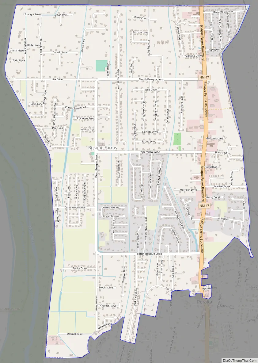
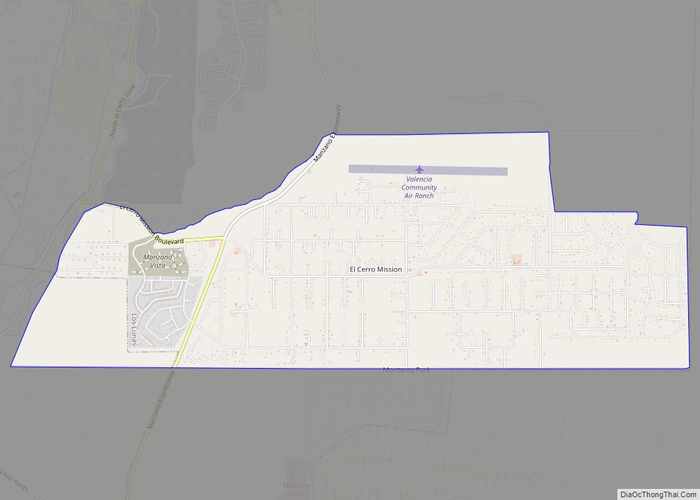
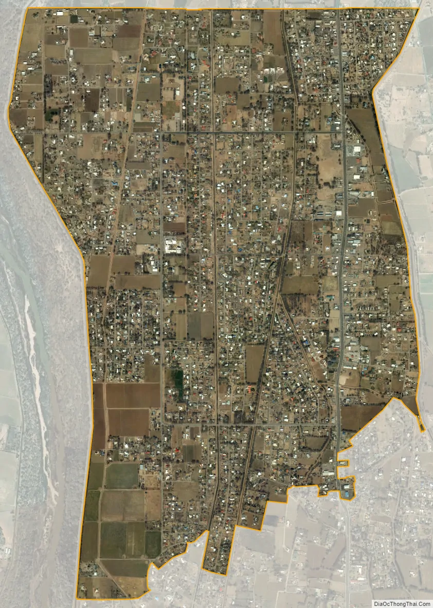
Bosque Farms city Satellite Map
Geography
Bosque Farms is located in the Rio Grande Valley at 34°51′12″N 106°41′57″W / 34.85333°N 106.69917°W / 34.85333; -106.69917 (34.853392, -106.699251).
According to the United States Census Bureau, the village has a total area of 4.0 square miles (10 km), all land.
See also
Map of New Mexico State and its subdivision: Map of other states:- Alabama
- Alaska
- Arizona
- Arkansas
- California
- Colorado
- Connecticut
- Delaware
- District of Columbia
- Florida
- Georgia
- Hawaii
- Idaho
- Illinois
- Indiana
- Iowa
- Kansas
- Kentucky
- Louisiana
- Maine
- Maryland
- Massachusetts
- Michigan
- Minnesota
- Mississippi
- Missouri
- Montana
- Nebraska
- Nevada
- New Hampshire
- New Jersey
- New Mexico
- New York
- North Carolina
- North Dakota
- Ohio
- Oklahoma
- Oregon
- Pennsylvania
- Rhode Island
- South Carolina
- South Dakota
- Tennessee
- Texas
- Utah
- Vermont
- Virginia
- Washington
- West Virginia
- Wisconsin
- Wyoming