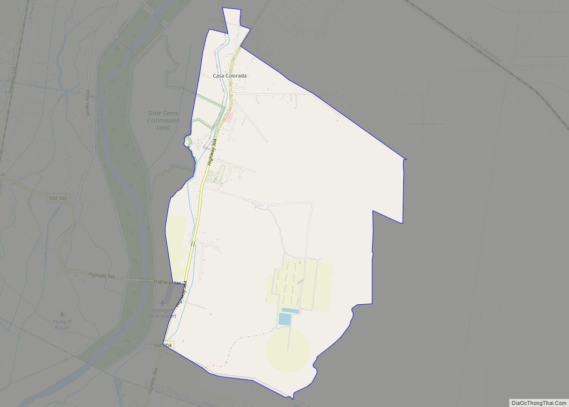
Casa Colorada is a census-designated place (CDP) in Valencia County, New Mexico, United States. The population was 272 at the 2010 census. It is part of the Albuquerque Metropolitan Statistical Area.
| Name: | Casa Colorada CDP |
|---|---|
| LSAD Code: | 57 |
| LSAD Description: | CDP (suffix) |
| State: | New Mexico |
| County: | Valencia County |
| Elevation: | 4,793 ft (1,461 m) |
| Total Area: | 5.53 sq mi (14.31 km²) |
| Land Area: | 5.52 sq mi (14.29 km²) |
| Water Area: | 0.01 sq mi (0.02 km²) |
| Total Population: | 279 |
| Population Density: | 50.55/sq mi (19.52/km²) |
| Area code: | 505 |
| FIPS code: | 3512786 |
| GNISfeature ID: | 0923711 |
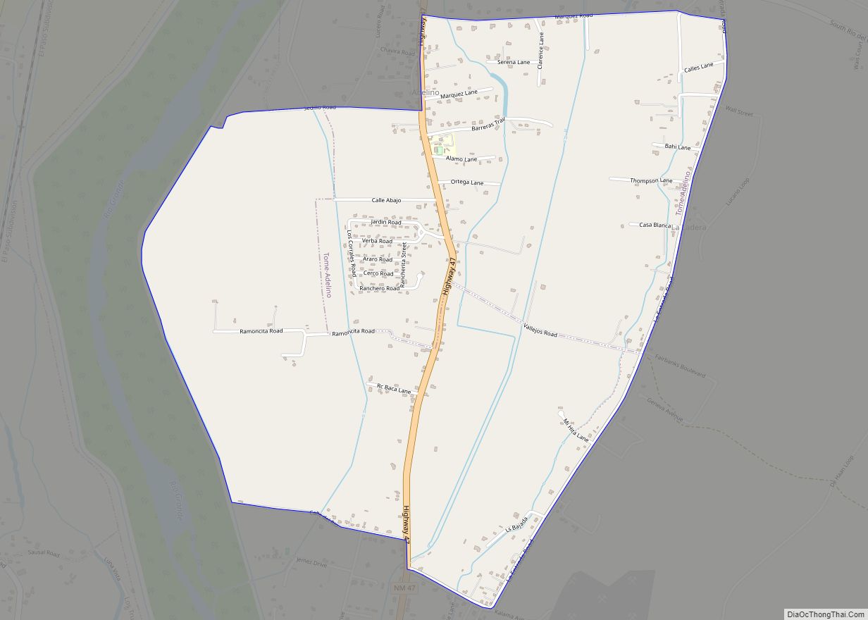
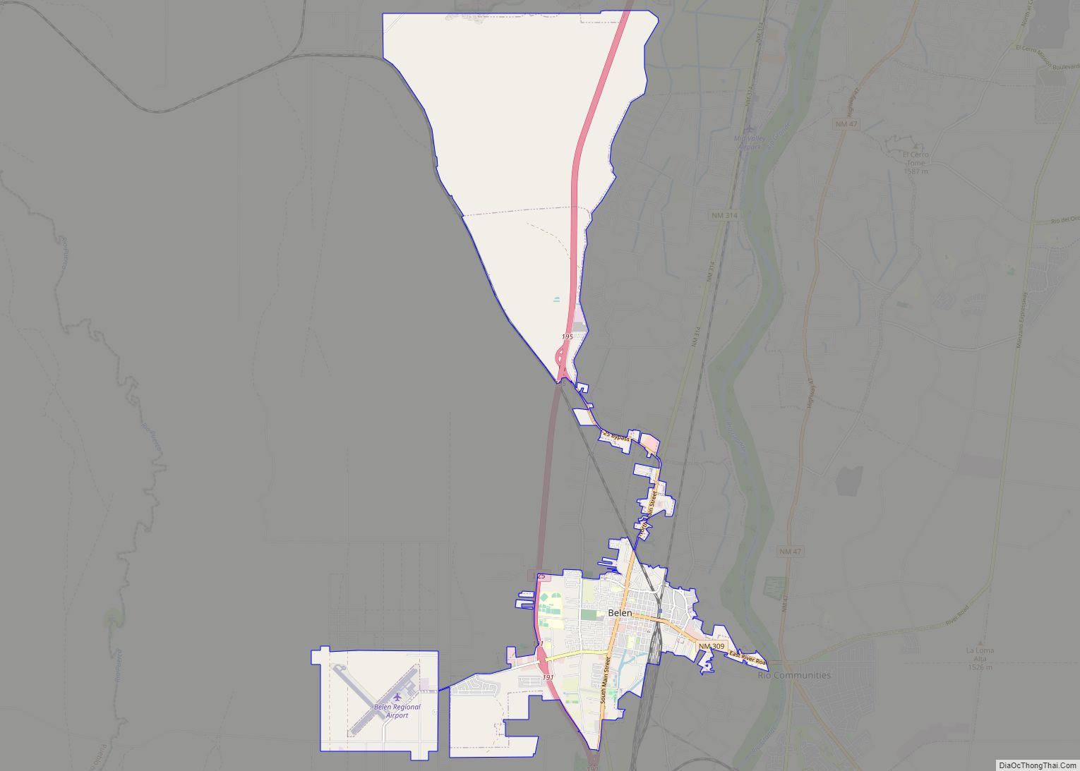
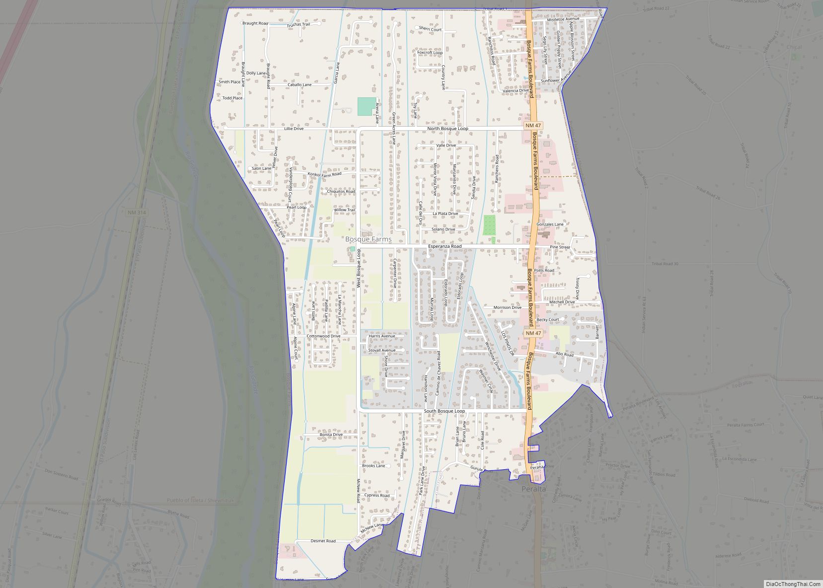
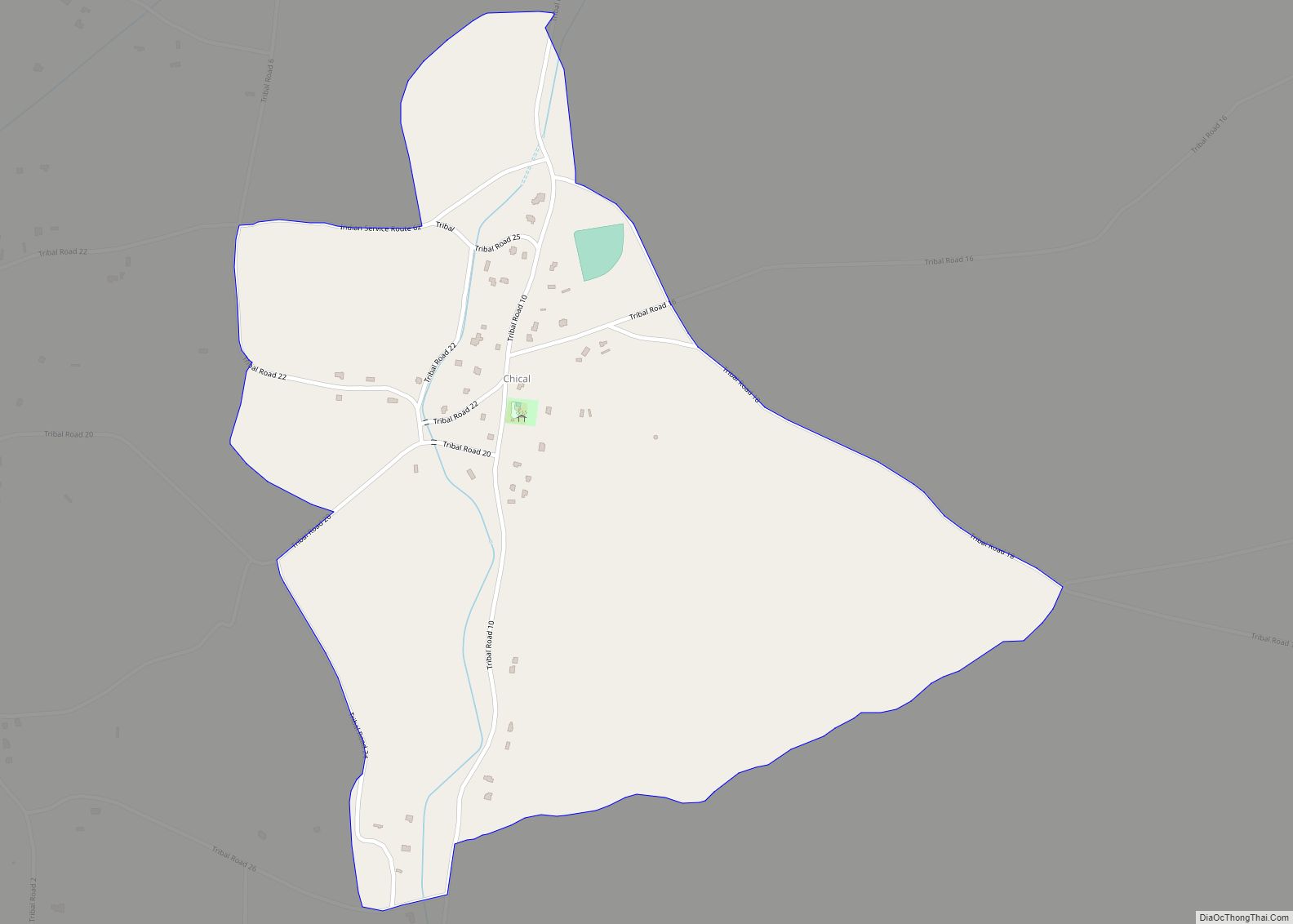
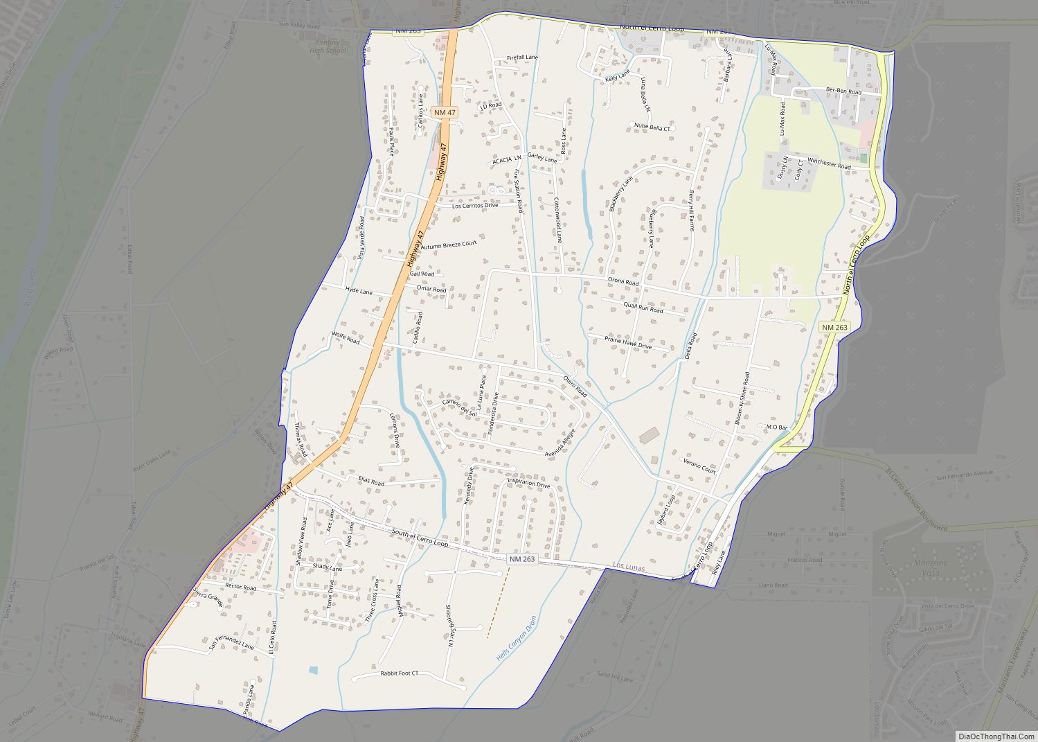
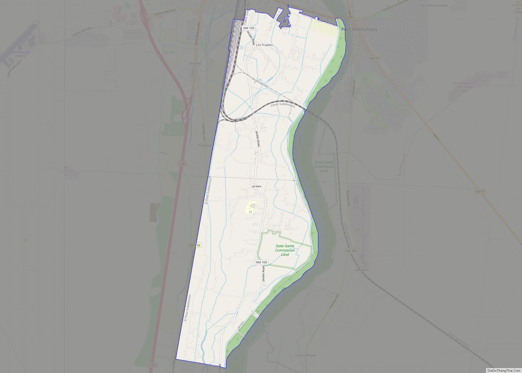
Online Interactive Map
Click on ![]() to view map in "full screen" mode.
to view map in "full screen" mode.
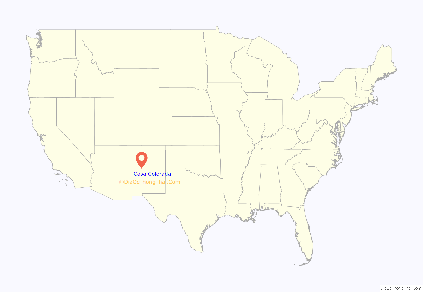
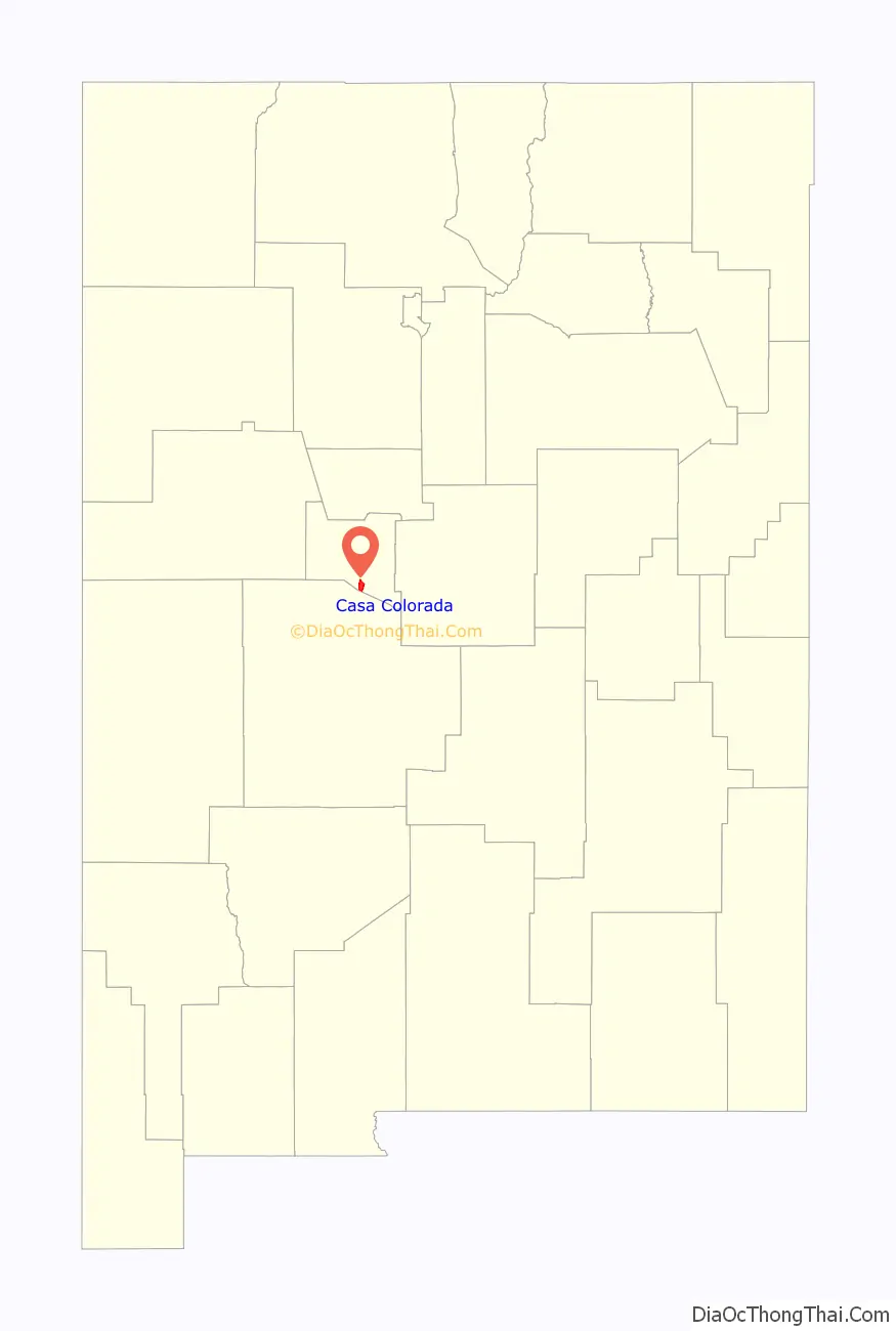
Casa Colorada location map. Where is Casa Colorada CDP?
History
Although Casa Colorado may have been a seventeenth-century landmark, it did not begin its existence as a community until early in the nineteenth century.
On May 19, 1760, after coming to Sevilleta, Bishop Tamarón passed the ruins of “the house they called Colorada,” and from that point on they began to see pens of ewes, corrals, and small houses (Adams 1953:201). Casa Colorada is also mentioned in the Kendall Journal. Whereas it may have been in ruins in 1760, by 1841 it was a small community. The area is a well known Land Grant.
The modern settlement for the town of Casa Colorada was born of a petition for a community grant in 1823. The grant may not have been confirmed at that time but the town continued in existence (Bowden 1969:II, 205). Testimony in the adjudication of the grant before the Surveyor General confirmed that the town was built in 1822 or 1823 in the place already known by the name Casa Colorado (Town of Casa Colorado Grant:12). It was included in lists of New Mexico towns in 1833 and 1840 (Bloom 1913:14; Carroll and Haggard 1942:93).
Wislizenus only referred to the nearby sand hills and the location of “Casas Coloradas,” six miles south of Tomé, when he camped there on 22 July 1846 (Wislizenus 1848:35). Later in the same year Abert commented on some large ponds north of town which were filled with water birds. His party had reached the Río Grande near there after descending from Abó Pass (Abert 1962:117-118).
In 1855, W.W.H. Davis observed that at Casa Colorada his party “struck a young desert, an excellent pocket edition of the great African Zahara, over which we journeyed for about four miles.” Through the area north of “La Hoya” the sand made travel difficult and the land barren with the exception of “occasional small patches in some of the valleys close to the river” (Davis 1938:200).
In the 1920s the local Post Office was given the name “Turn” because there was a turn in the road at Casa Colorado and that name has since appeared on many maps but the original name is still in general use (Julyan 1996:67).
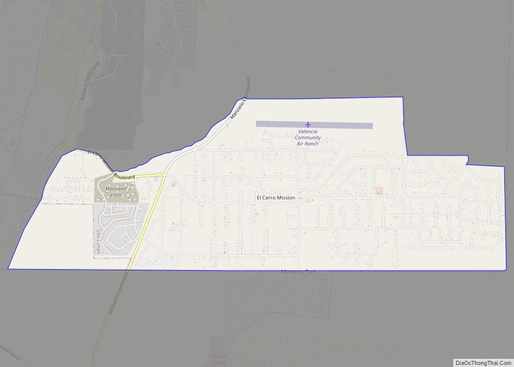
Casa Colorada Road Map
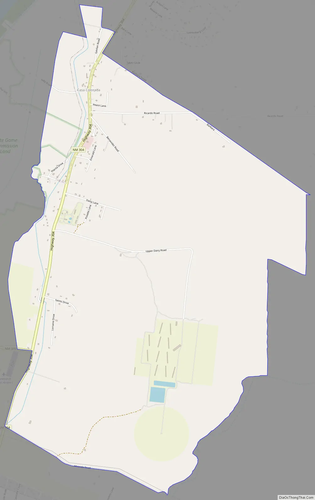
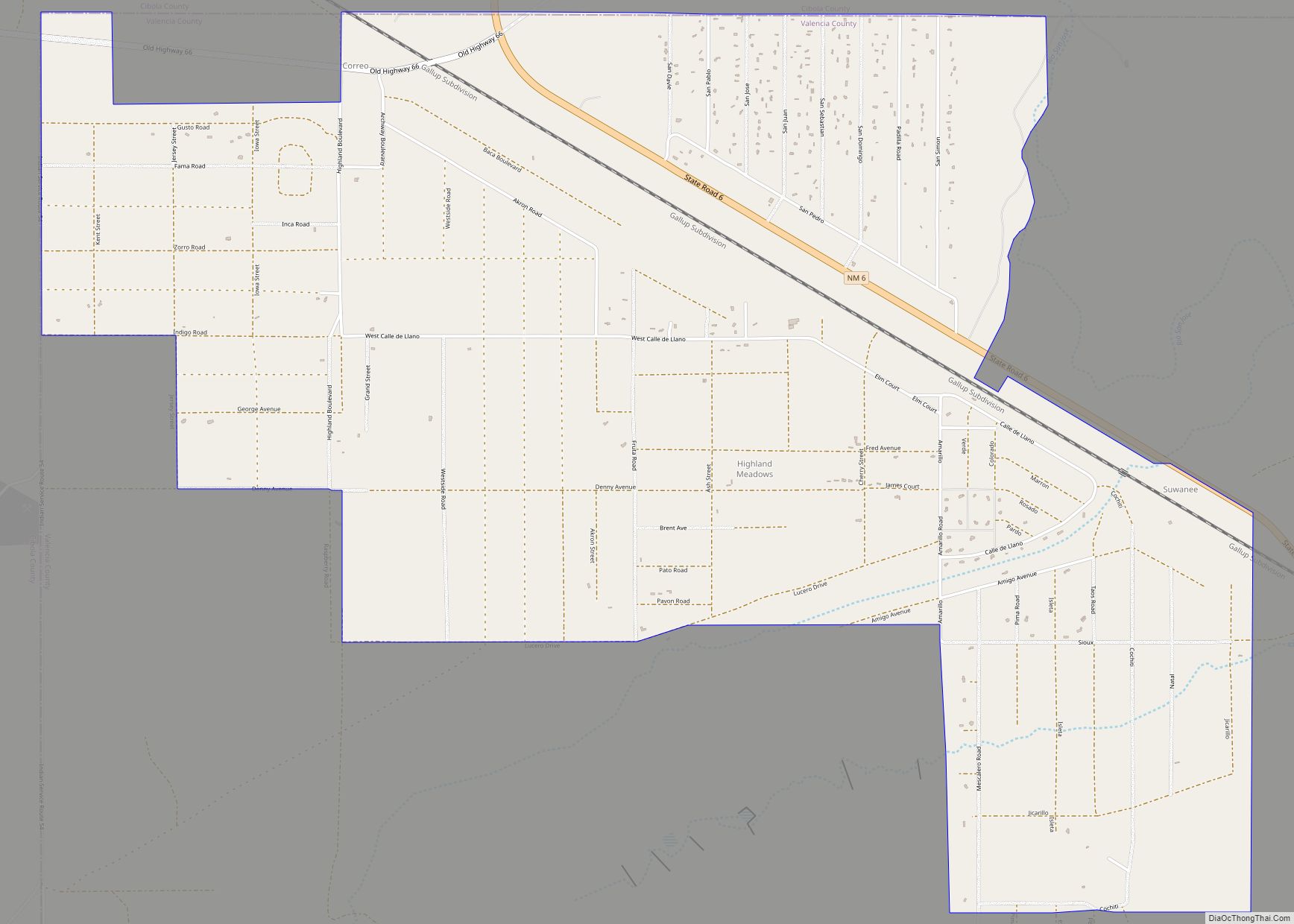
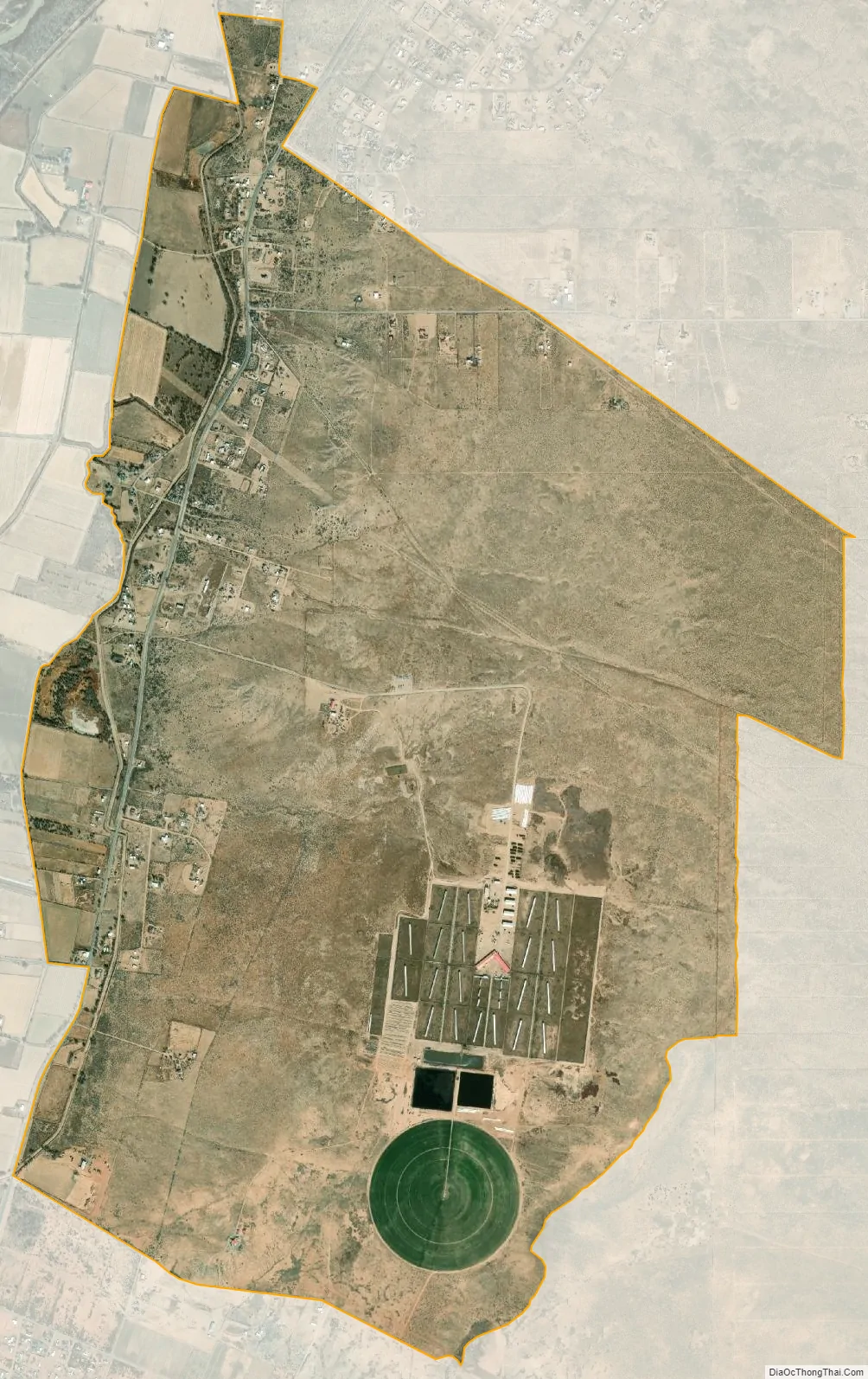
Casa Colorada city Satellite Map
Geography
Casa Colorada is located at 34°34′48″N 106°44′48″W / 34.58000°N 106.74667°W / 34.58000; -106.74667 (34.579949, -106.746803).
According to the United States Census Bureau, the CDP has a total area of 5.6 square miles (15 km), all land.
See also
Map of New Mexico State and its subdivision: Map of other states:- Alabama
- Alaska
- Arizona
- Arkansas
- California
- Colorado
- Connecticut
- Delaware
- District of Columbia
- Florida
- Georgia
- Hawaii
- Idaho
- Illinois
- Indiana
- Iowa
- Kansas
- Kentucky
- Louisiana
- Maine
- Maryland
- Massachusetts
- Michigan
- Minnesota
- Mississippi
- Missouri
- Montana
- Nebraska
- Nevada
- New Hampshire
- New Jersey
- New Mexico
- New York
- North Carolina
- North Dakota
- Ohio
- Oklahoma
- Oregon
- Pennsylvania
- Rhode Island
- South Carolina
- South Dakota
- Tennessee
- Texas
- Utah
- Vermont
- Virginia
- Washington
- West Virginia
- Wisconsin
- Wyoming