Chaparral is an unincorporated community and census-designated place (CDP) in Doña Ana and Otero counties, New Mexico. The population was 14,631 at the 2010 census. Chaparral is primarily a bedroom community for the neighboring city of El Paso, Texas, and the neighboring military installations of White Sands Missile Range and Fort Bliss. It is officially part of the Las Cruces Metropolitan Statistical Area.
| Name: | Chaparral CDP |
|---|---|
| LSAD Code: | 57 |
| LSAD Description: | CDP (suffix) |
| State: | New Mexico |
| County: | Doña Ana County, Otero County |
| Elevation: | 4,082 ft (1,244 m) |
| Total Area: | 59.06 sq mi (152.98 km²) |
| Land Area: | 59.06 sq mi (152.98 km²) |
| Water Area: | 0.00 sq mi (0.00 km²) |
| Total Population: | 16,551 |
| Population Density: | 280.22/sq mi (108.19/km²) |
| ZIP code: | 88081 |
| Area code: | 575 |
| FIPS code: | 3514250 |
| GNISfeature ID: | 2408012 |
Online Interactive Map
Click on ![]() to view map in "full screen" mode.
to view map in "full screen" mode.
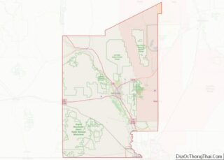
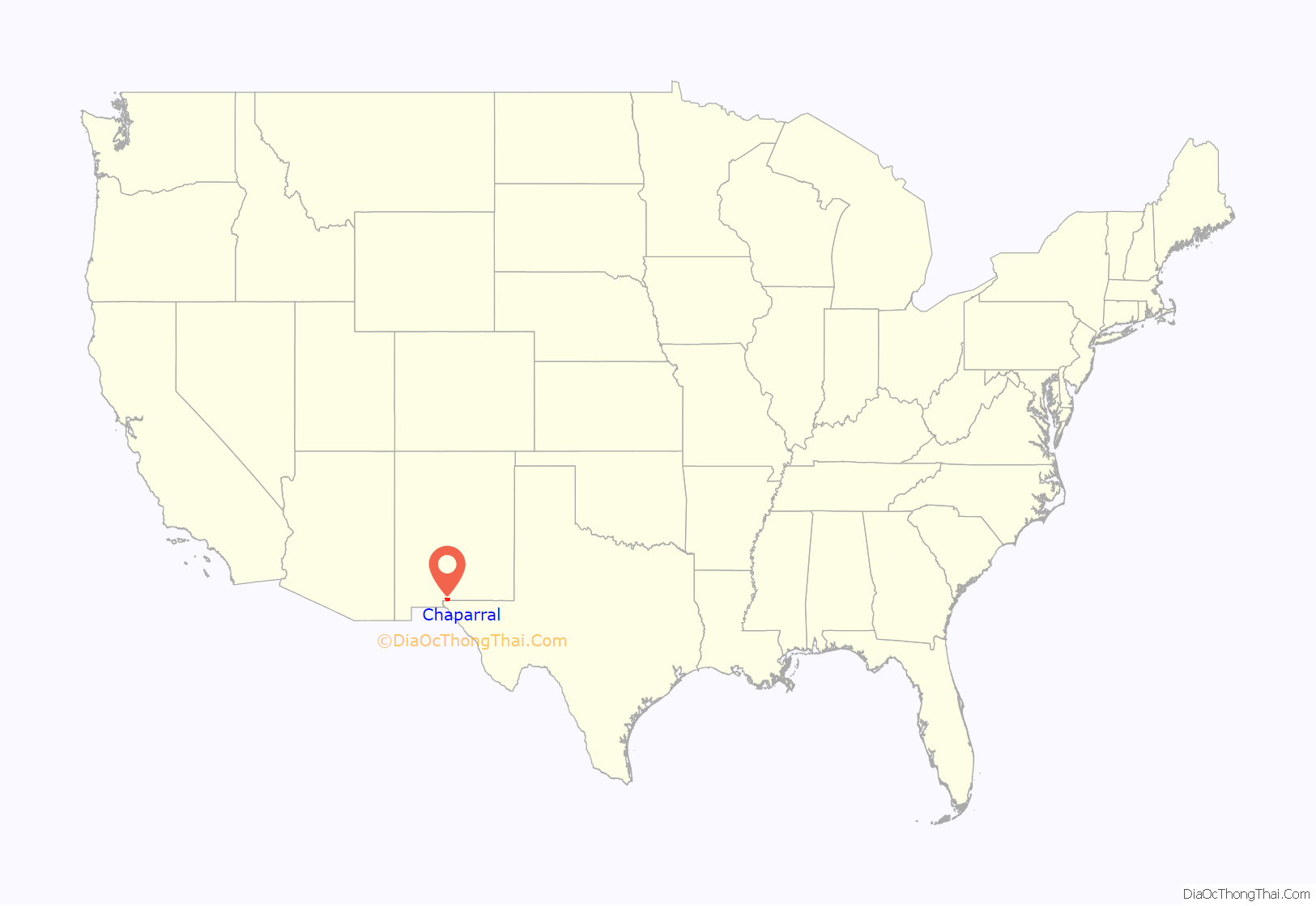
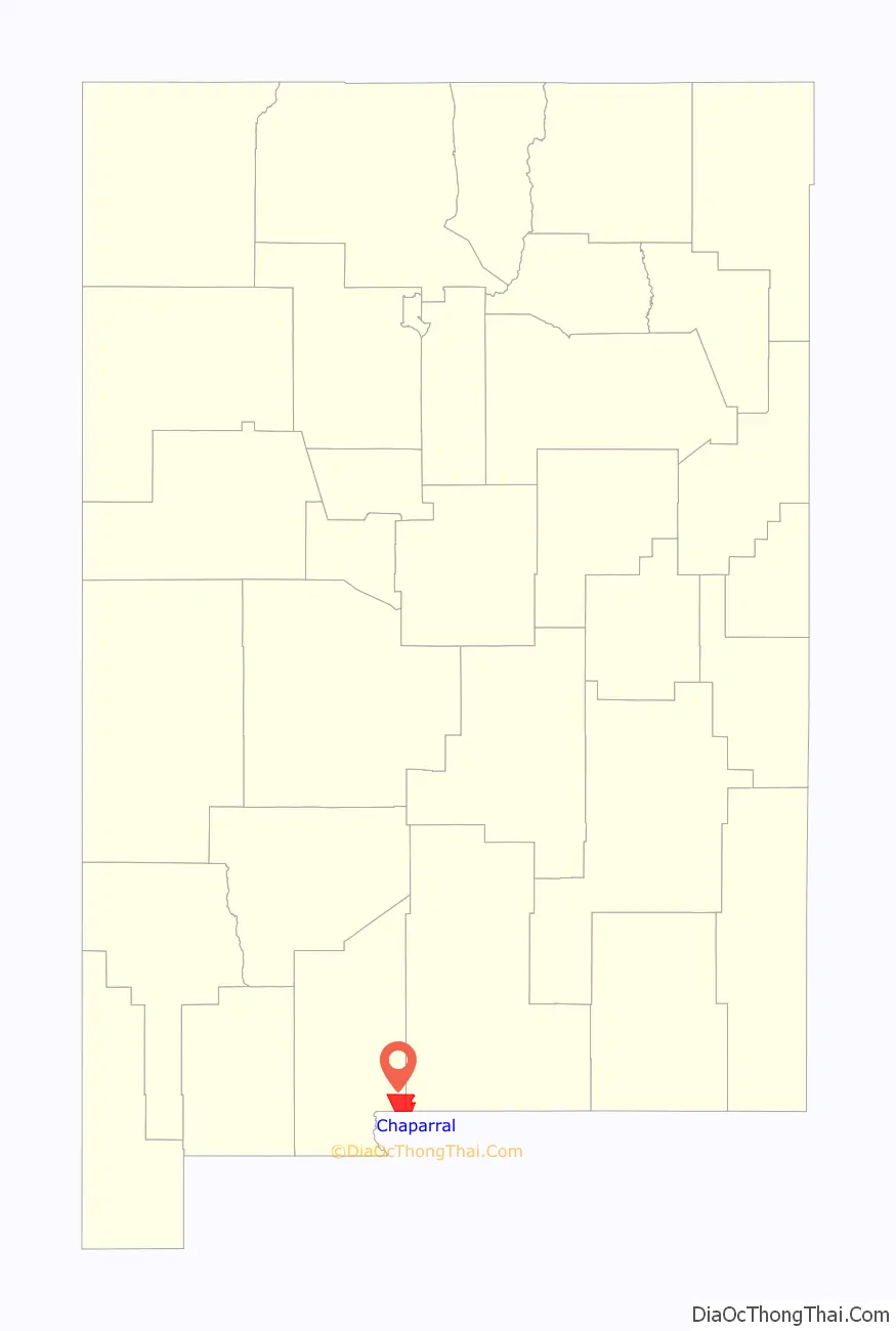
Chaparral location map. Where is Chaparral CDP?
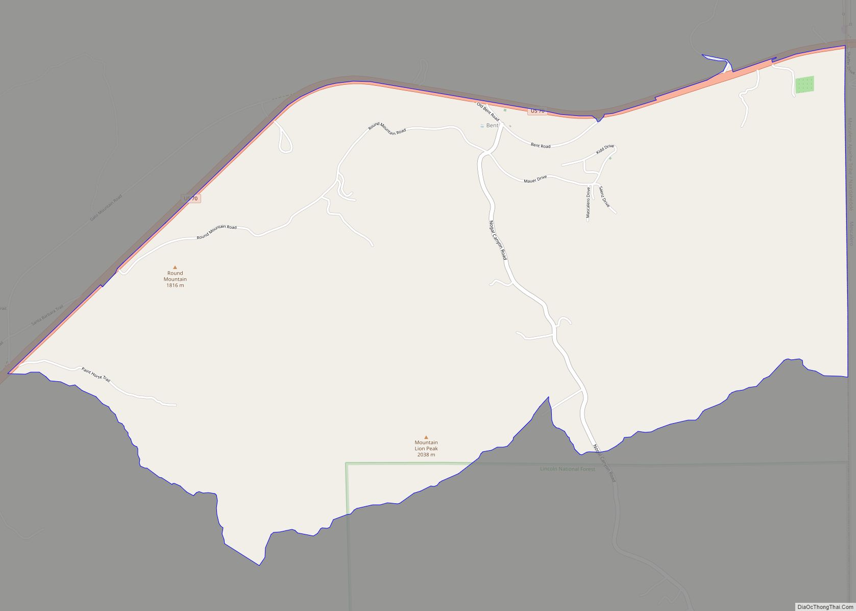
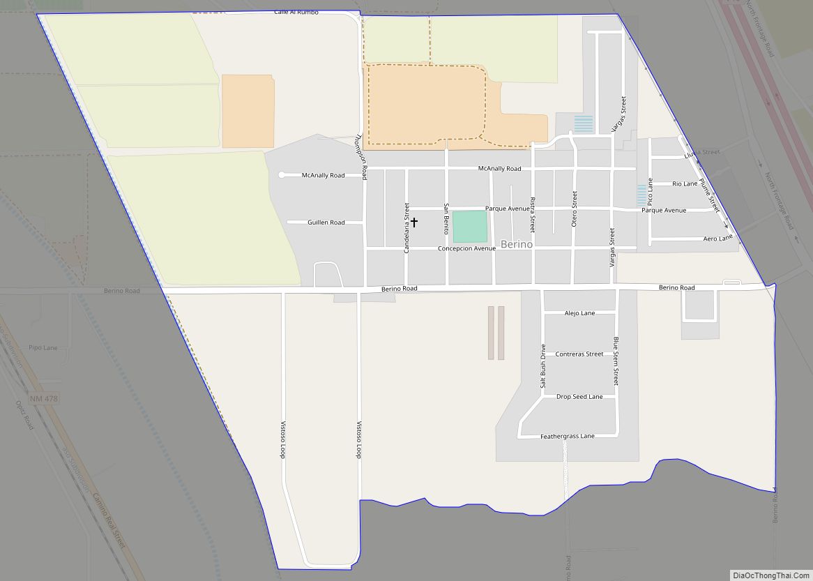
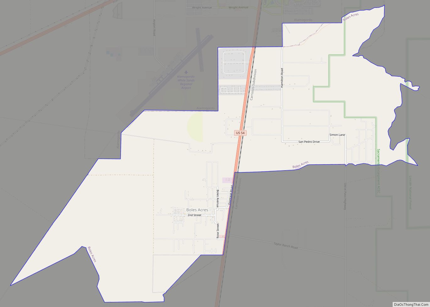
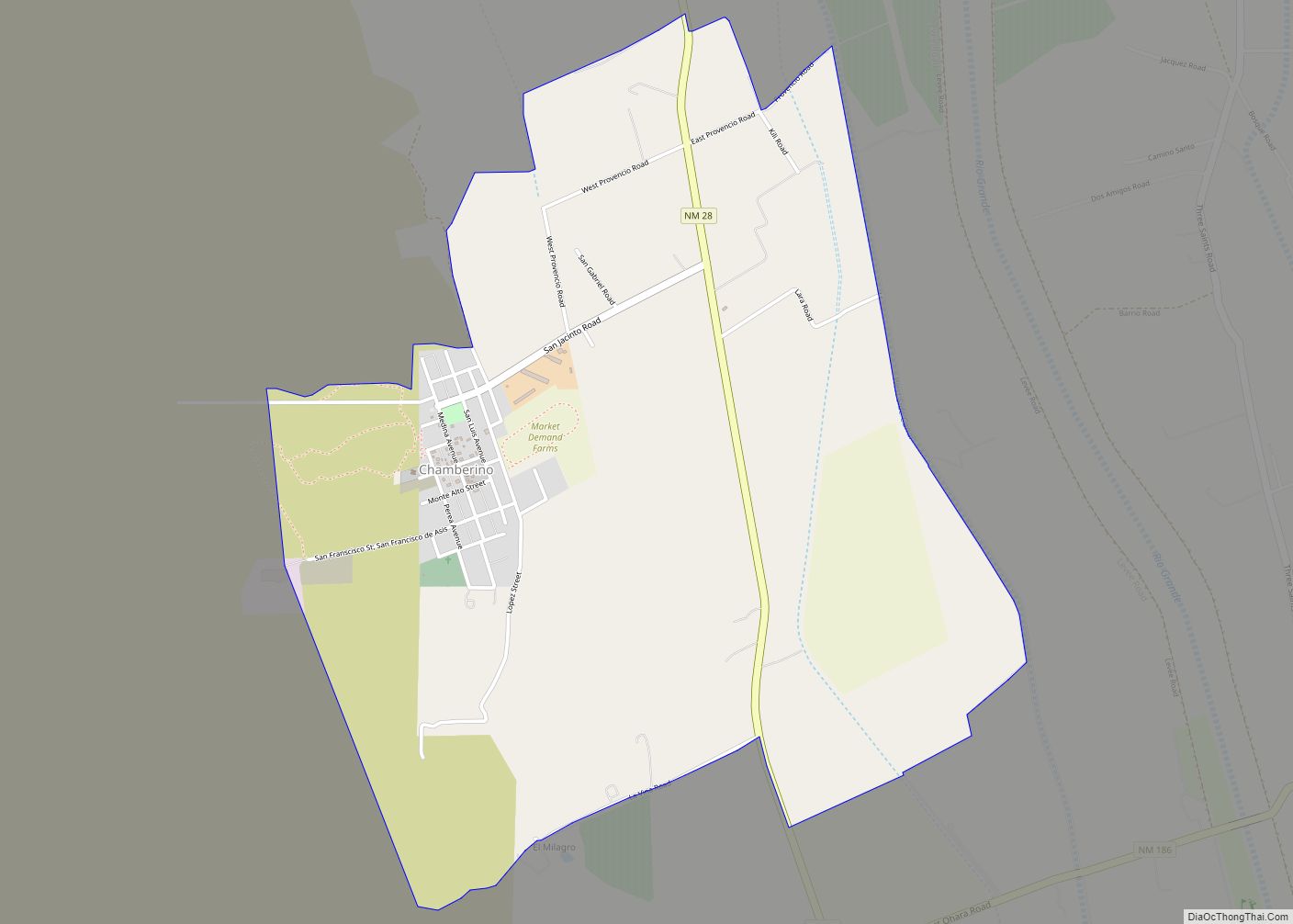
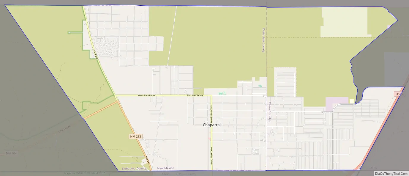
Chaparral Road Map
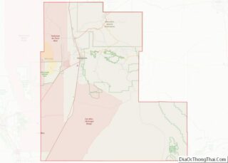
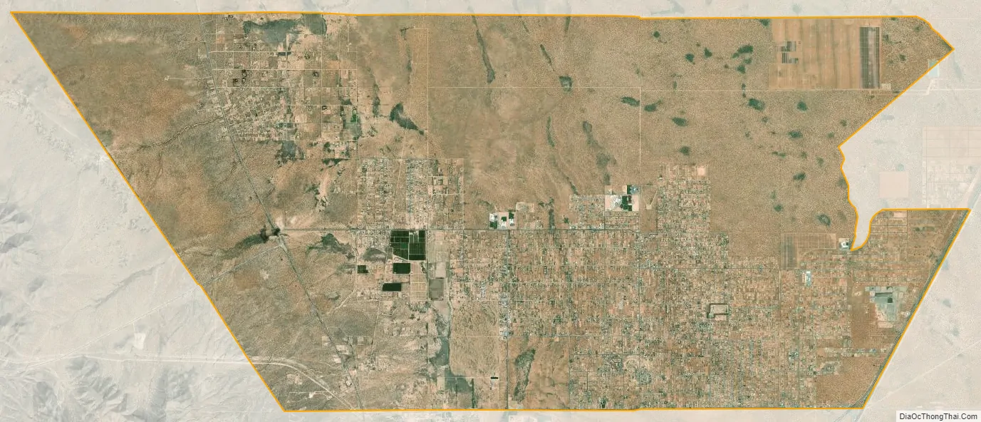
Chaparral city Satellite Map
Geography
Chaparral is located in the southeast corner of Doña Ana County and the southwest corner of Otero County at 32°2′21″N 106°25′47″W / 32.03917°N 106.42972°W / 32.03917; -106.42972 (32.039072, −106.429630). Its southern border is the Texas state line, the northern limit of the city of El Paso. Chaparral is geographically isolated from the rest of Doña Ana County due to its location on the east side of the Franklin Mountains.
Downtown El Paso, Texas is 20 miles (32 km) to the south, Fort Bliss in Texas is 19 miles (31 km) to the south, and the White Sands Missile Range is 30 miles (48 km) to the north.
According to the United States Census Bureau, the Chaparral CDP has a total area of 59.2 square miles (153.4 km), all land.
See also
Map of New Mexico State and its subdivision: Map of other states:- Alabama
- Alaska
- Arizona
- Arkansas
- California
- Colorado
- Connecticut
- Delaware
- District of Columbia
- Florida
- Georgia
- Hawaii
- Idaho
- Illinois
- Indiana
- Iowa
- Kansas
- Kentucky
- Louisiana
- Maine
- Maryland
- Massachusetts
- Michigan
- Minnesota
- Mississippi
- Missouri
- Montana
- Nebraska
- Nevada
- New Hampshire
- New Jersey
- New Mexico
- New York
- North Carolina
- North Dakota
- Ohio
- Oklahoma
- Oregon
- Pennsylvania
- Rhode Island
- South Carolina
- South Dakota
- Tennessee
- Texas
- Utah
- Vermont
- Virginia
- Washington
- West Virginia
- Wisconsin
- Wyoming