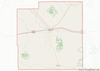
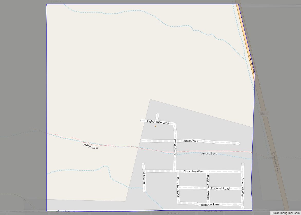
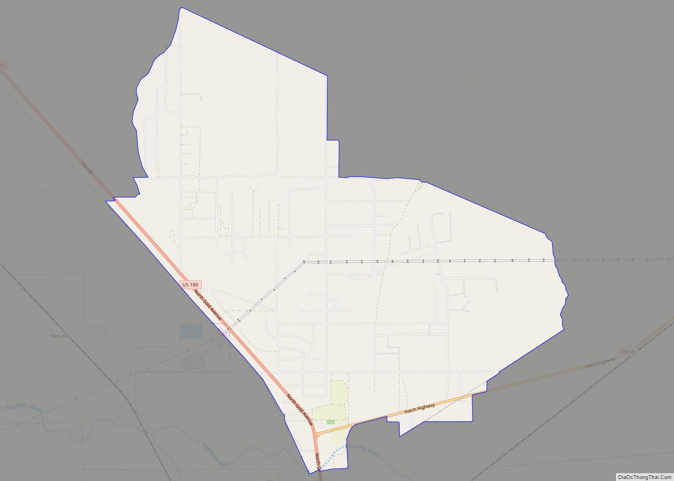
City of the Sun is an intentional community and census-designated place in Luna County, New Mexico, United States. Its population was 33 as of the 2020 census. The community, which is on the northern border of Columbus, was founded in 1972.
Like other areas in Luna County, the community is in the Deming Public Schools school district.
| Name: | City of the Sun CDP |
|---|---|
| LSAD Code: | 57 |
| LSAD Description: | CDP (suffix) |
| State: | New Mexico |
| County: | Luna County |
| Elevation: | 4,140 ft (1,260 m) |
| Total Area: | 0.25 sq mi (0.66 km²) |
| Land Area: | 0.25 sq mi (0.66 km²) |
| Water Area: | 0.00 sq mi (0.00 km²) |
| Total Population: | 33 |
| Population Density: | 130.43/sq mi (50.33/km²) |
| Area code: | 575 |
| FIPS code: | 3515560 |
| GNISfeature ID: | 2584077 |
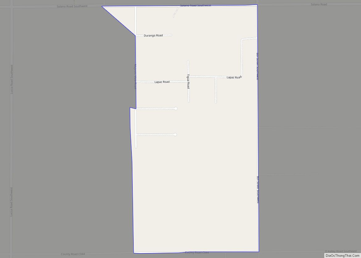
Online Interactive Map
Click on ![]() to view map in "full screen" mode.
to view map in "full screen" mode.
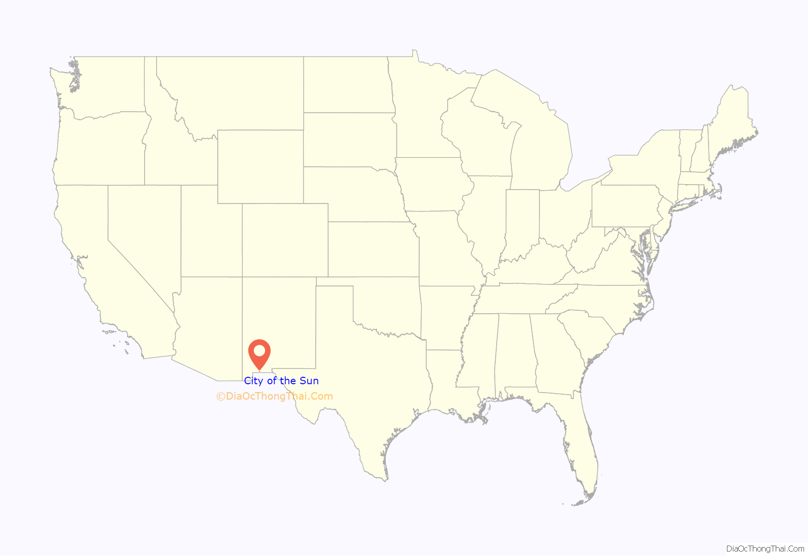
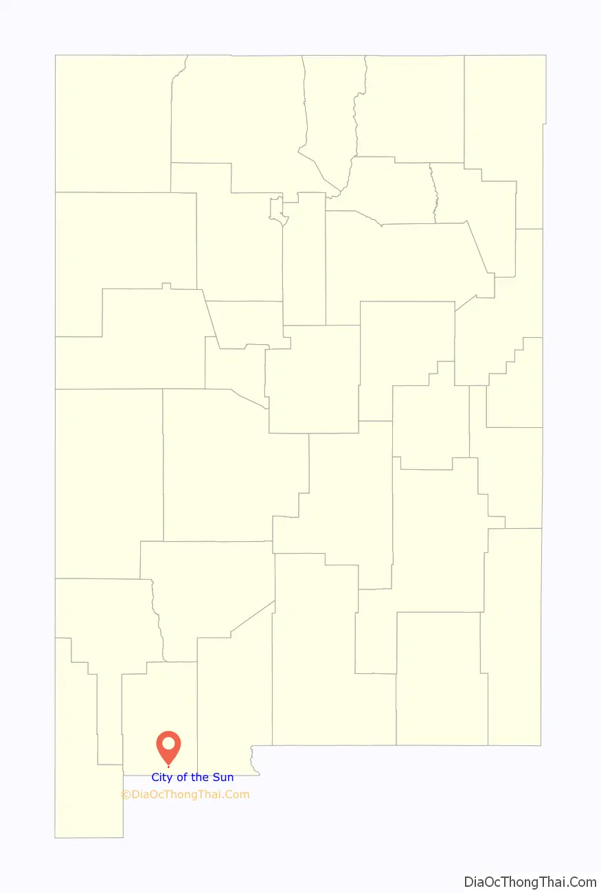
City of the Sun location map. Where is City of the Sun CDP?
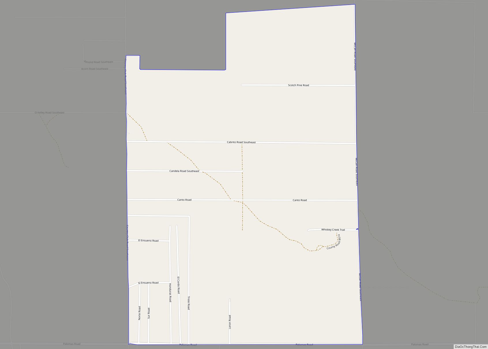
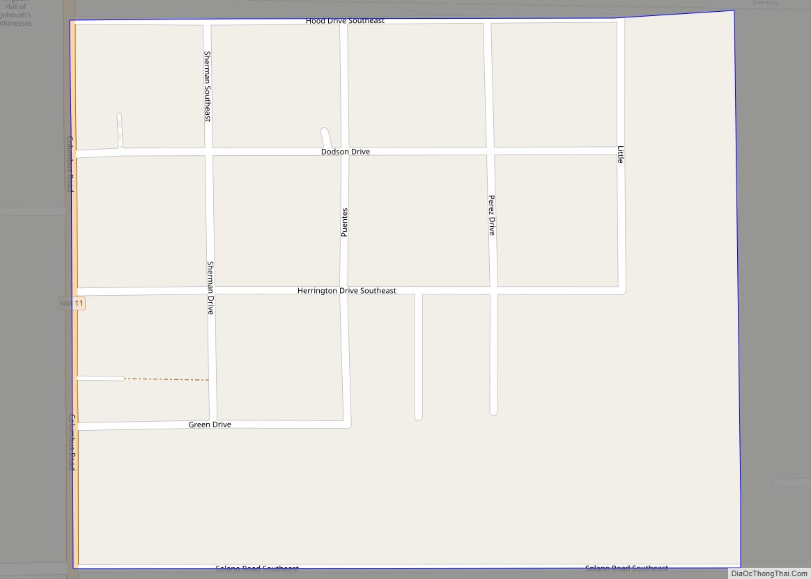
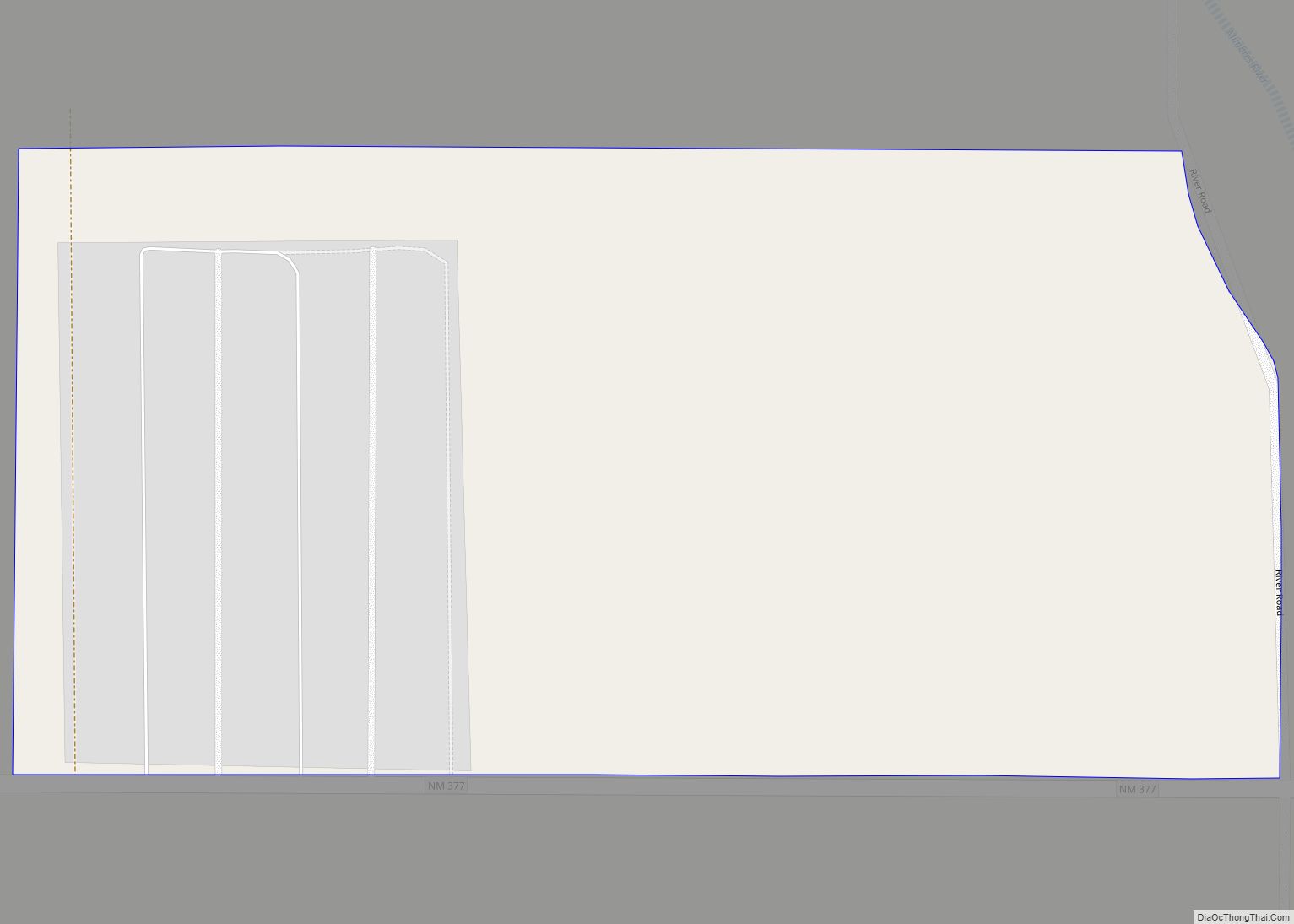
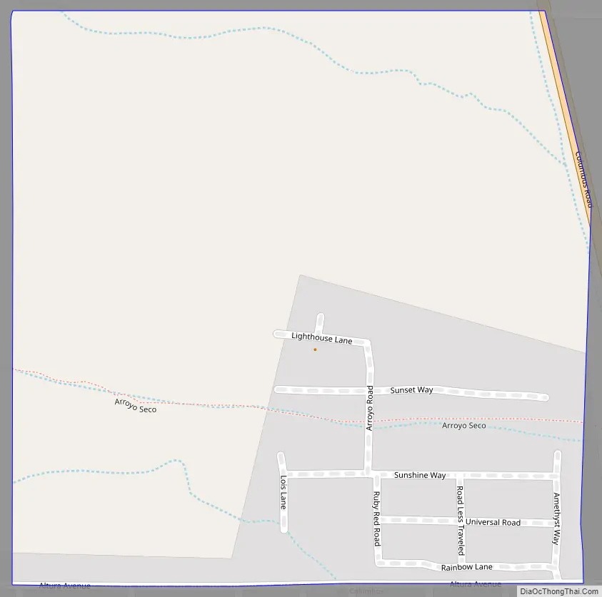
City of the Sun Road Map
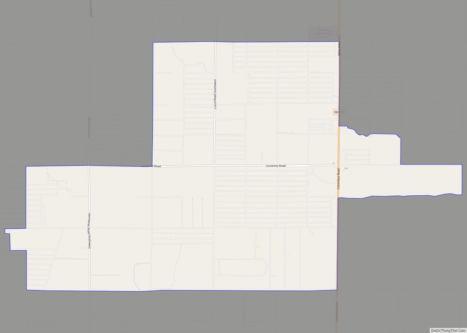
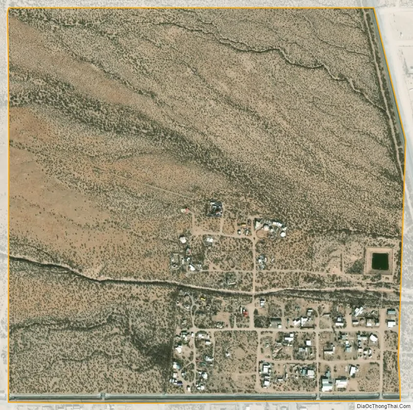
City of the Sun city Satellite Map
See also
Map of New Mexico State and its subdivision: Map of other states:- Alabama
- Alaska
- Arizona
- Arkansas
- California
- Colorado
- Connecticut
- Delaware
- District of Columbia
- Florida
- Georgia
- Hawaii
- Idaho
- Illinois
- Indiana
- Iowa
- Kansas
- Kentucky
- Louisiana
- Maine
- Maryland
- Massachusetts
- Michigan
- Minnesota
- Mississippi
- Missouri
- Montana
- Nebraska
- Nevada
- New Hampshire
- New Jersey
- New Mexico
- New York
- North Carolina
- North Dakota
- Ohio
- Oklahoma
- Oregon
- Pennsylvania
- Rhode Island
- South Carolina
- South Dakota
- Tennessee
- Texas
- Utah
- Vermont
- Virginia
- Washington
- West Virginia
- Wisconsin
- Wyoming