Dulce (/ˈdʌlsiː/ or /ˈduːsiː/; Jicarilla Apache: Lóosi) is a census-designated place (CDP) in Rio Arriba County, New Mexico, United States. The population was 2,743 at the 2010 census, almost entirely Native American. It is the largest community and tribal headquarters of the Jicarilla Apache Reservation.
| Name: | Dulce CDP |
|---|---|
| LSAD Code: | 57 |
| LSAD Description: | CDP (suffix) |
| State: | New Mexico |
| County: | Rio Arriba County |
| Elevation: | 6,778 ft (2,066 m) |
| Total Area: | 12.97 sq mi (33.60 km²) |
| Land Area: | 12.83 sq mi (33.22 km²) |
| Water Area: | 0.15 sq mi (0.38 km²) |
| Total Population: | 2,788 |
| Population Density: | 217.37/sq mi (83.93/km²) |
| ZIP code: | 87528 |
| Area code: | 575 |
| FIPS code: | 3521390 |
| GNISfeature ID: | 0928722 |
Online Interactive Map
Click on ![]() to view map in "full screen" mode.
to view map in "full screen" mode.
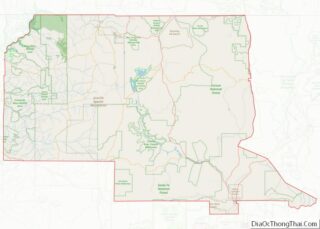
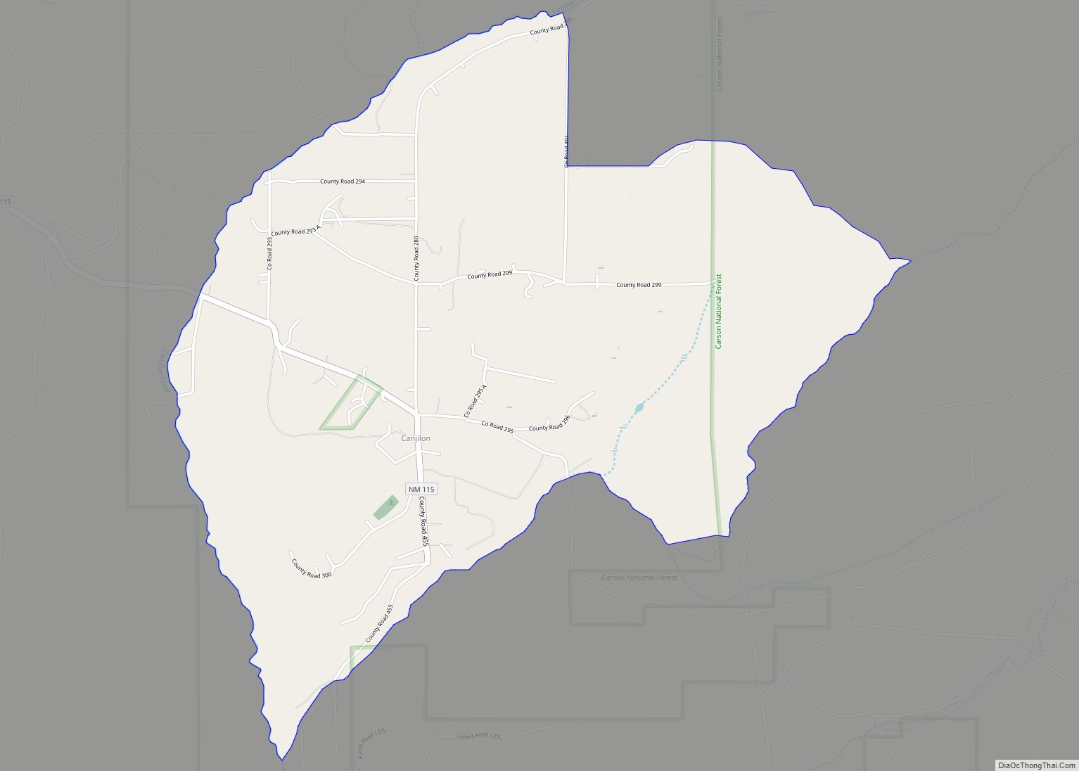
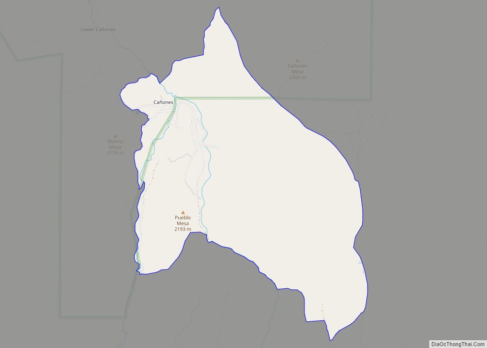
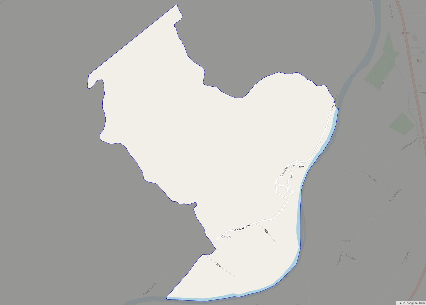
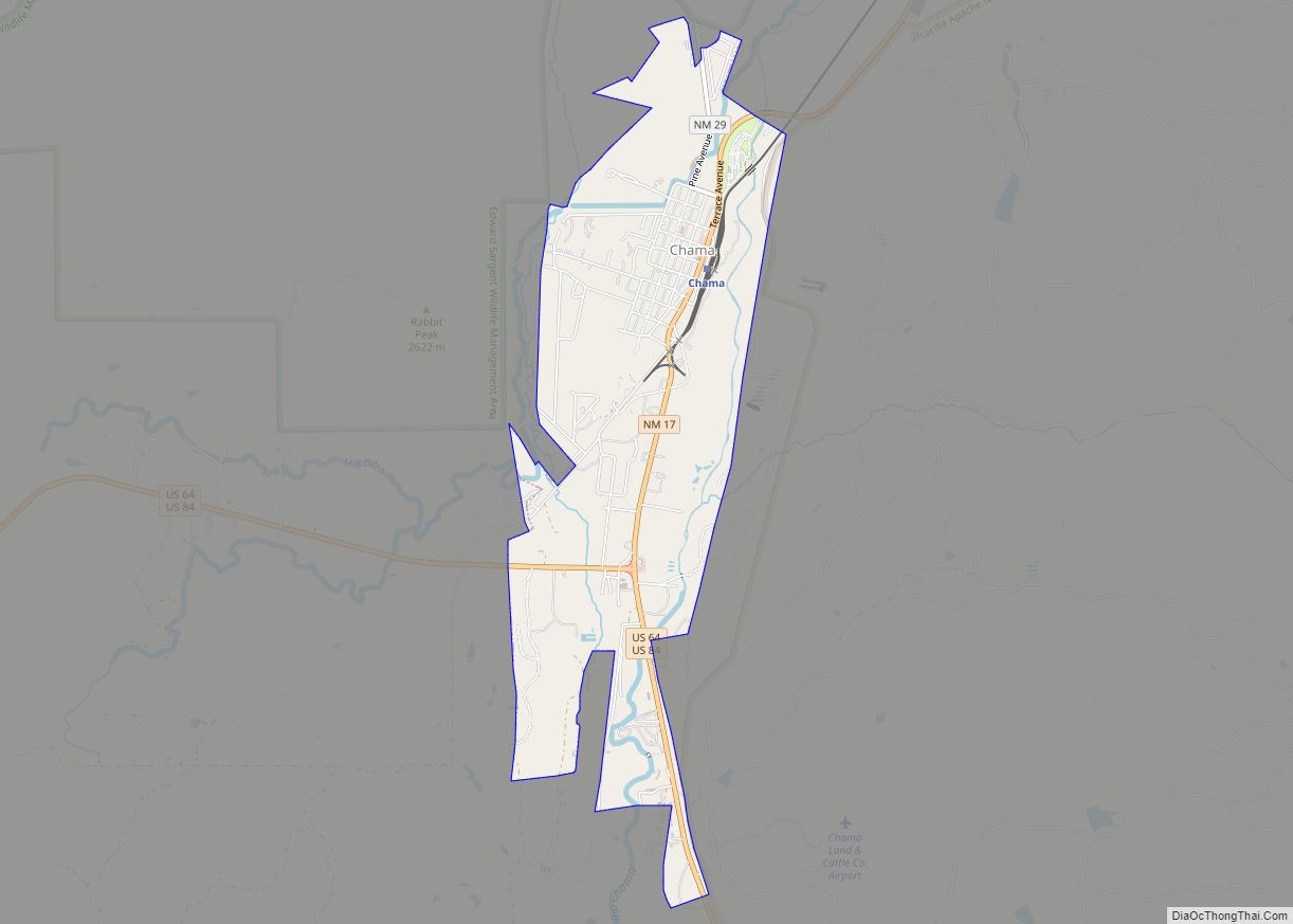
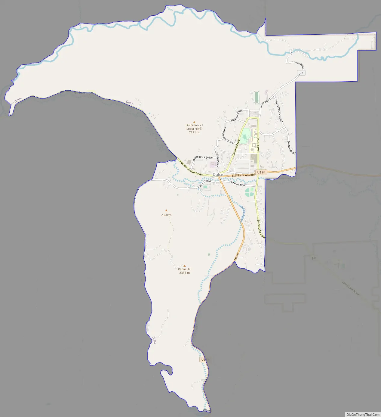
Dulce location map. Where is Dulce CDP?


History
Dulce was founded by the Gomez family as a ranching operation. The original name was “Agua Dulce,” Spanish for sweet water because of the presence of natural springs that provided good drinking water for the people and their animals. The original homestead was founded in 1877 by Jose Eugenio Gomez. The Jicarilla Apache reservation was established in 1887 when the Apache people were forced into a reservation. The Gomez Ranch is currently kept under Manuel Gomez ownership, though surrounded by reservation land.
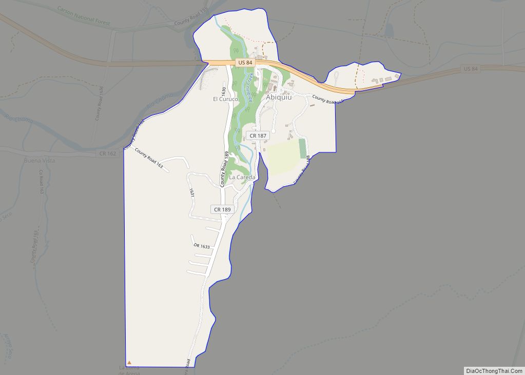
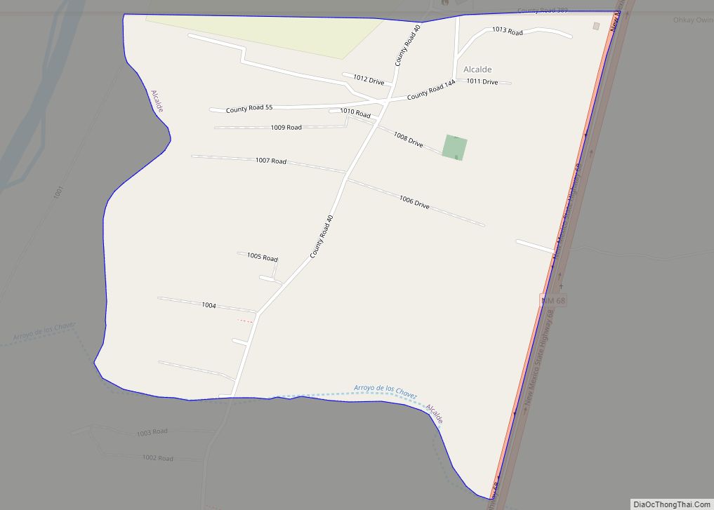
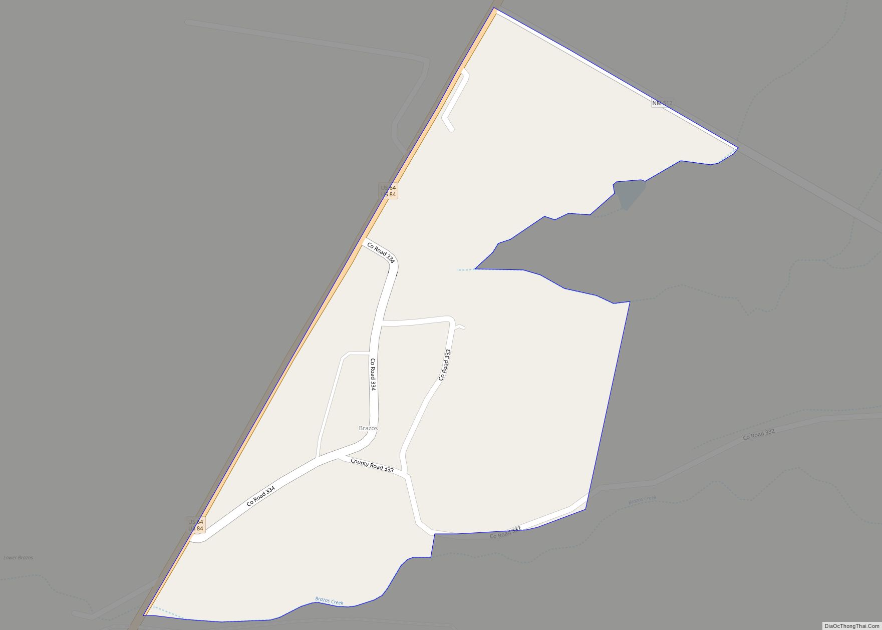
Dulce Road Map
Dulce city Satellite Map

Geography
Dulce is located at 36°56′22″N 106°59′23″W / 36.93944°N 106.98972°W / 36.93944; -106.98972 (36.939557, -106.989600).
According to the United States Census Bureau, the CDP has a total area of 12.9 square miles (33 km), of which 12.8 square miles (33 km) is land and 0.1 square miles (0.26 km) (0.8%) is water.
See also
Map of New Mexico State and its subdivision: Map of other states:- Alabama
- Alaska
- Arizona
- Arkansas
- California
- Colorado
- Connecticut
- Delaware
- District of Columbia
- Florida
- Georgia
- Hawaii
- Idaho
- Illinois
- Indiana
- Iowa
- Kansas
- Kentucky
- Louisiana
- Maine
- Maryland
- Massachusetts
- Michigan
- Minnesota
- Mississippi
- Missouri
- Montana
- Nebraska
- Nevada
- New Hampshire
- New Jersey
- New Mexico
- New York
- North Carolina
- North Dakota
- Ohio
- Oklahoma
- Oregon
- Pennsylvania
- Rhode Island
- South Carolina
- South Dakota
- Tennessee
- Texas
- Utah
- Vermont
- Virginia
- Washington
- West Virginia
- Wisconsin
- Wyoming