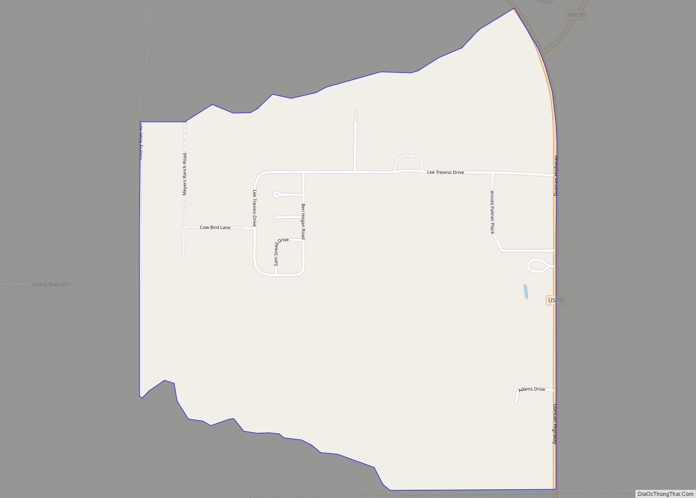
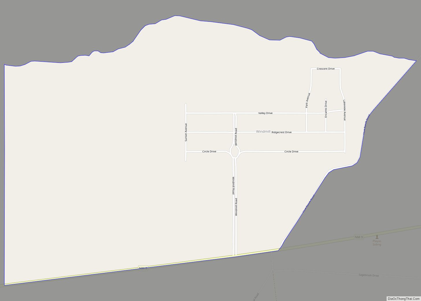
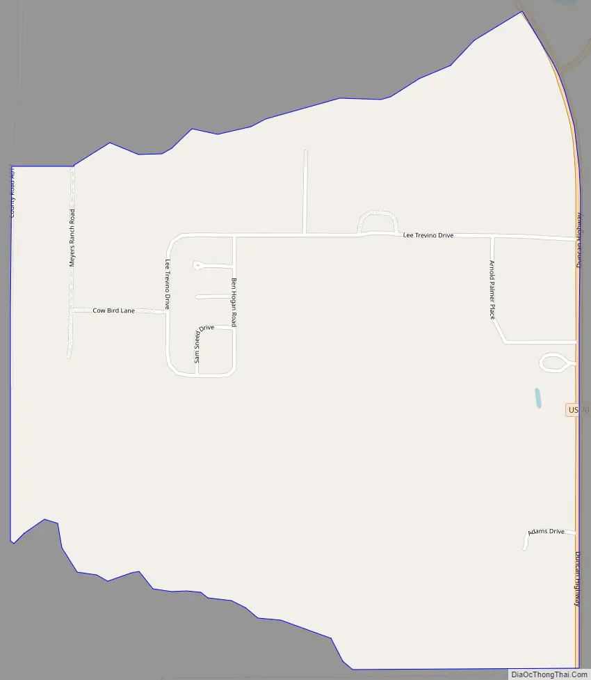
Glen Acres is a census-designated place in Hidalgo County, New Mexico, United States. Its population was 208 as of the 2010 census. The community is located along U.S. Route 70. The community’s streets are named after golfers (e.g. Sam Sneed (sic) Drive, Lee Trevino Drive, Tom Shaw Road).
| Name: | Glen Acres CDP |
|---|---|
| LSAD Code: | 57 |
| LSAD Description: | CDP (suffix) |
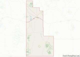
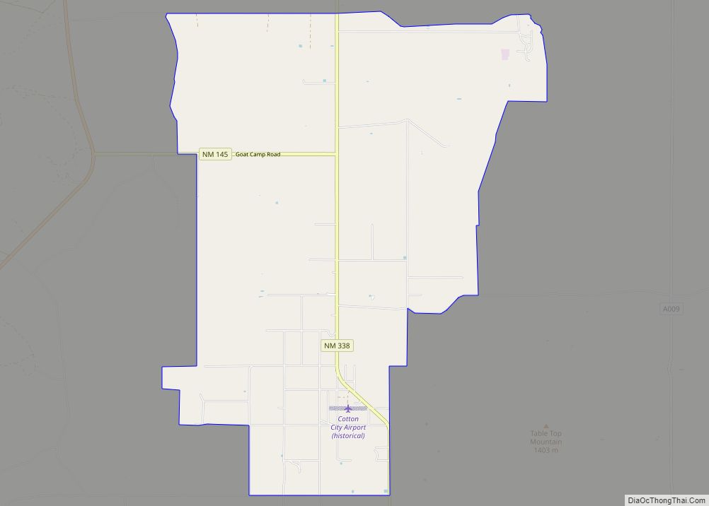
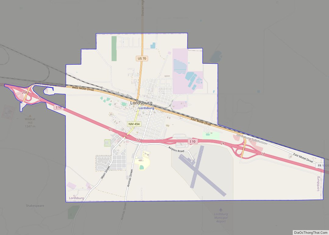
| State: | New Mexico |
| County: | Hidalgo County |
| Elevation: | 4,196 ft (1,279 m) |
| Total Area: | 0.99 sq mi (2.56 km²) |
| Land Area: | 0.99 sq mi (2.56 km²) |
| Water Area: | 0.00 sq mi (0.00 km²) |
| Total Population: | 204 |
| Population Density: | 206.48/sq mi (79.75/km²) |
| Area code: | 575 |
| FIPS code: | 3529540 |
| GNISfeature ID: | 2584103 |
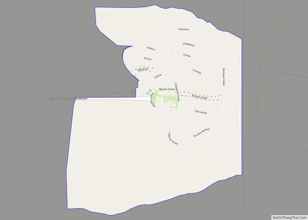
Online Interactive Map
Click on ![]() to view map in "full screen" mode.
to view map in "full screen" mode.
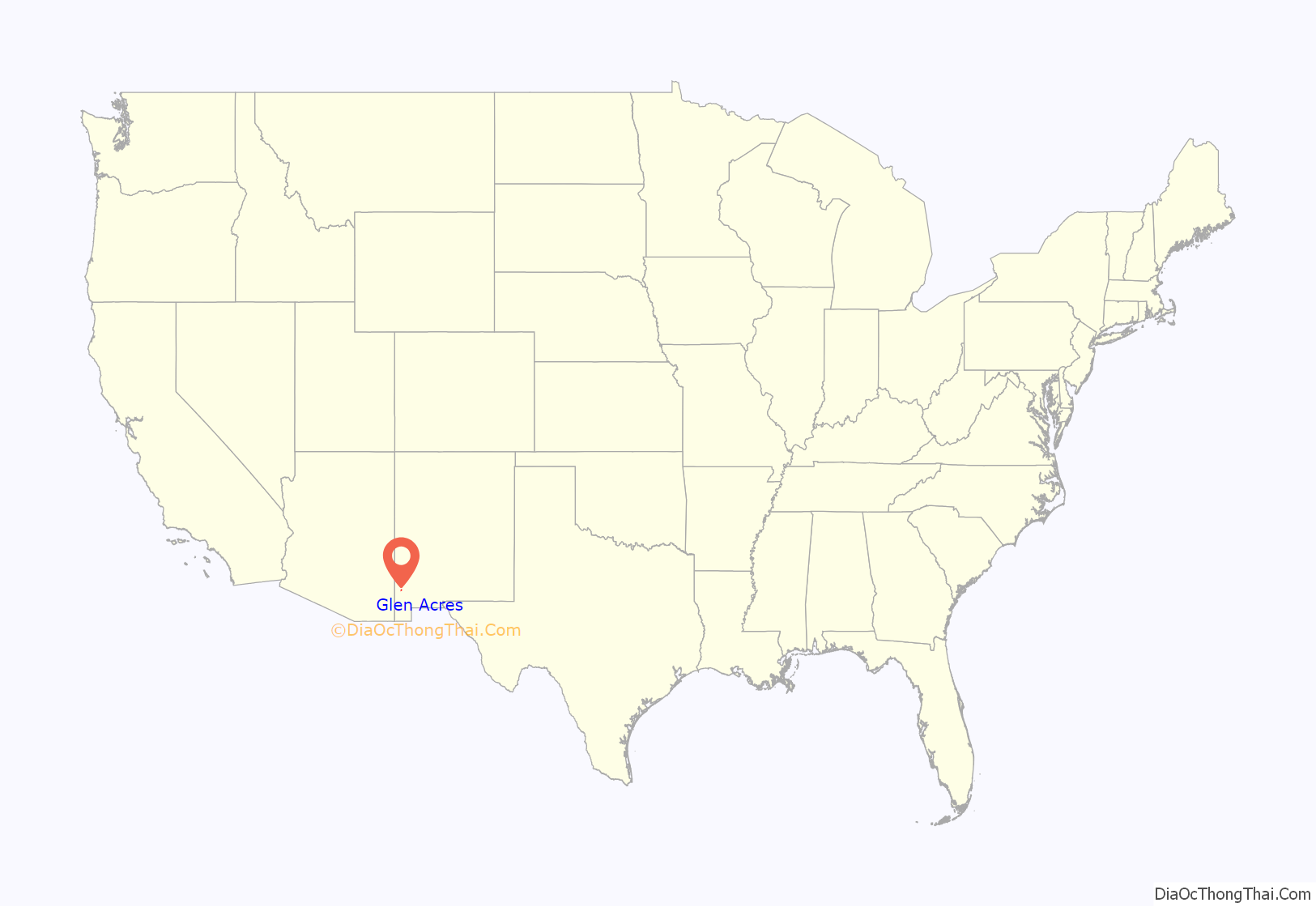
Glen Acres location map. Where is Glen Acres CDP?
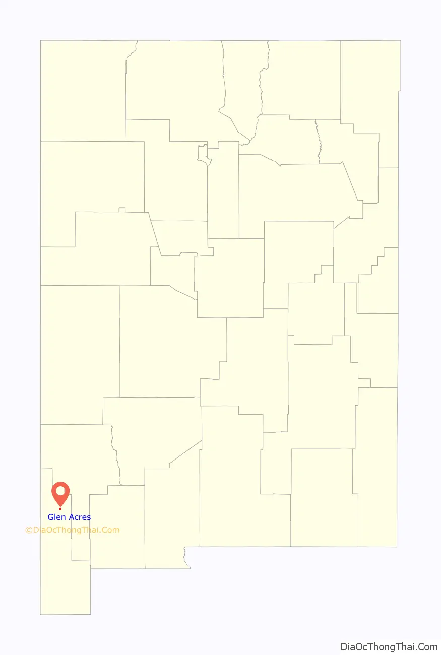
Glen Acres Road Map
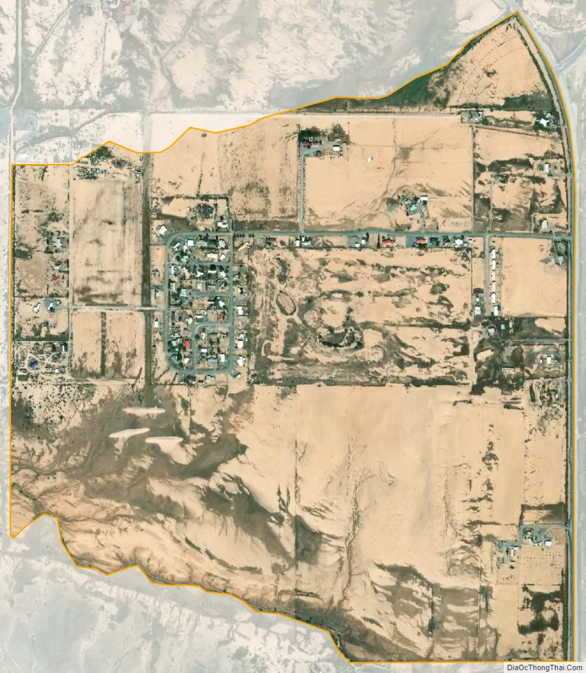
Glen Acres city Satellite Map
Geography
Glen Acres is located at 32°22′29″N 108°42′58″W / 32.374699°N 108.716008°W / 32.374699; -108.716008. According to the U.S. Census Bureau, the community has an area of 0.955 square miles (2.47 km), all land.
See also
Map of New Mexico State and its subdivision: Map of other states:- Alabama
- Alaska
- Arizona
- Arkansas
- California
- Colorado
- Connecticut
- Delaware
- District of Columbia
- Florida
- Georgia
- Hawaii
- Idaho
- Illinois
- Indiana
- Iowa
- Kansas
- Kentucky
- Louisiana
- Maine
- Maryland
- Massachusetts
- Michigan
- Minnesota
- Mississippi
- Missouri
- Montana
- Nebraska
- Nevada
- New Hampshire
- New Jersey
- New Mexico
- New York
- North Carolina
- North Dakota
- Ohio
- Oklahoma
- Oregon
- Pennsylvania
- Rhode Island
- South Carolina
- South Dakota
- Tennessee
- Texas
- Utah
- Vermont
- Virginia
- Washington
- West Virginia
- Wisconsin
- Wyoming