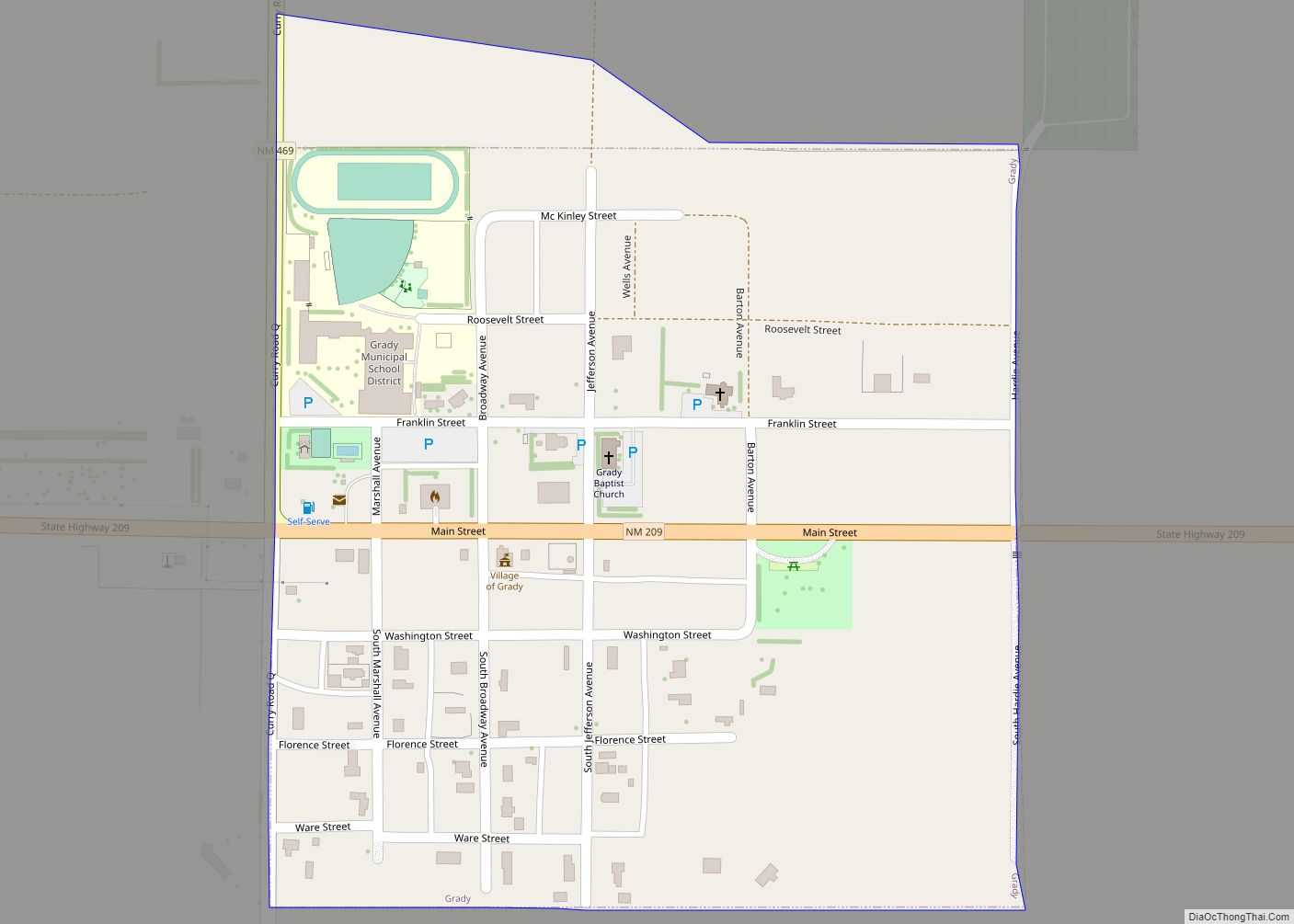
Grady is a village in Curry County, New Mexico, United States. The population was 107 at the 2010 census.
| Name: | Grady village |
|---|---|
| LSAD Code: | 47 |
| LSAD Description: | village (suffix) |
| State: | New Mexico |
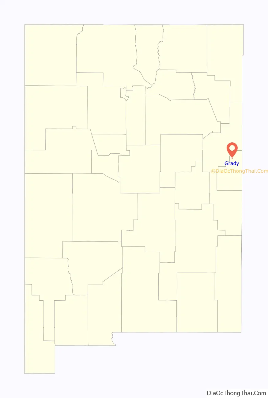
| County: | Curry County |
| Elevation: | 4,600 ft (1,402 m) |
| Total Area: | 0.27 sq mi (0.69 km²) |
| Land Area: | 0.27 sq mi (0.69 km²) |
| Water Area: | 0.00 sq mi (0.00 km²) |
| Total Population: | 86 |
| Population Density: | 323.31/sq mi (124.70/km²) |
| ZIP code: | 88120 |
| Area code: | 505 |
| FIPS code: | 3530210 |
| GNISfeature ID: | 0898784 |
Online Interactive Map
Click on ![]() to view map in "full screen" mode.
to view map in "full screen" mode.
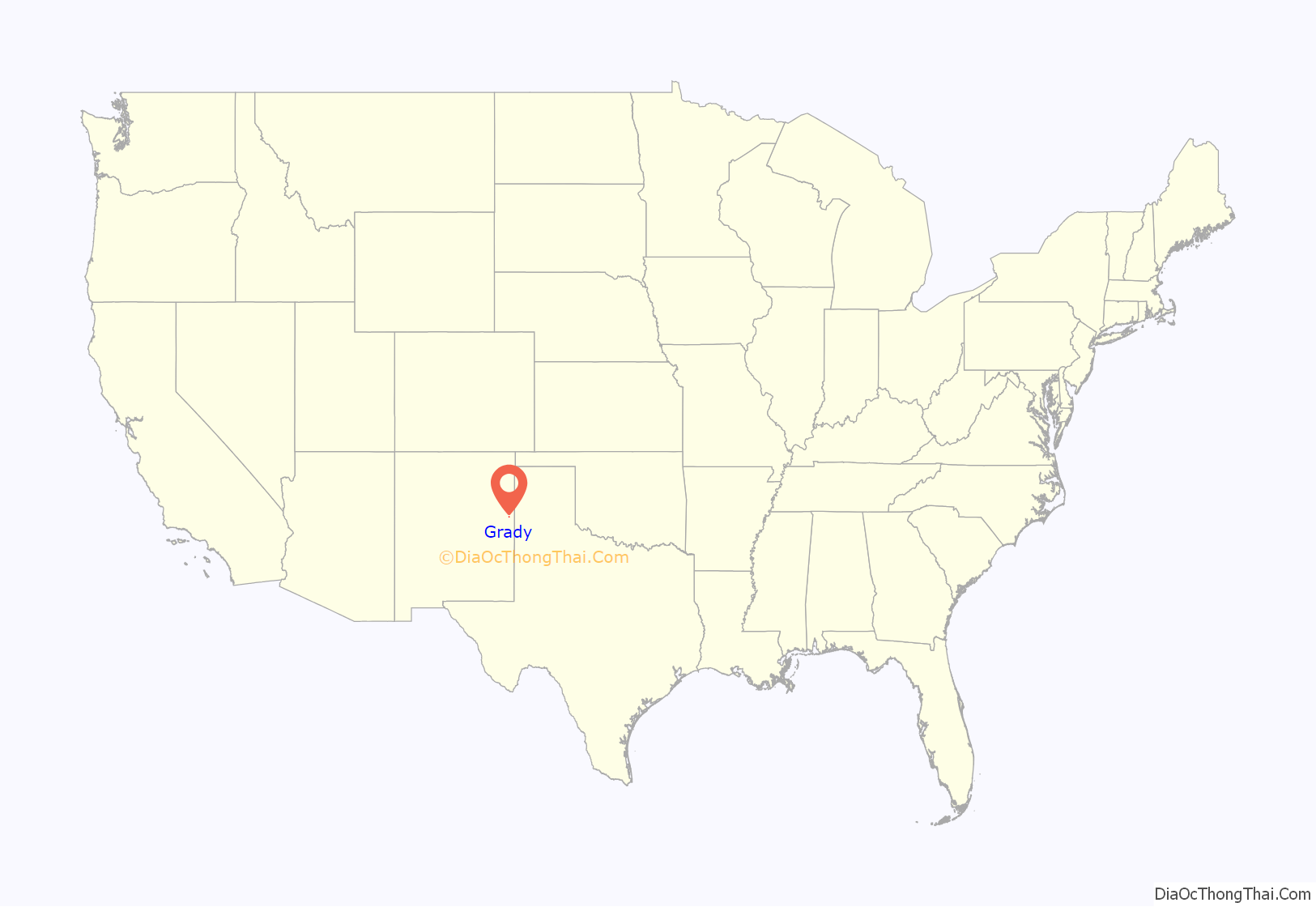
Grady location map. Where is Grady village?
History
Grady was established in 1907 with a strong community of farming and ranching. The Village was named after Pearl B. Grady, who owned most of the town site. Pearl Grady was also the first postmaster.
Grady was chosen as the pending railroad depot for the Atchison Topeka & Santa Fe Railway (ATSF), but as it turned out, Grady was by-passed.
During Grady’s history, the village had a hotel, two grocery stores, a bank, a doctor, a dentist, a drugstore, café, lumber & hardware store and a few other small businesses.
In 1925 a fire consumed the entire south side of the village destroying all of the businesses except the hotel.
In February 1952, a tornado hit Grady, with a number of homes destroyed.
Since the 1960s, the Village of Grady’s population has remained close to 100 people and consists mainly of an older population of farmers. The public school is a center piece of Grady, but enrollment continues to decline.
Grady Road Map
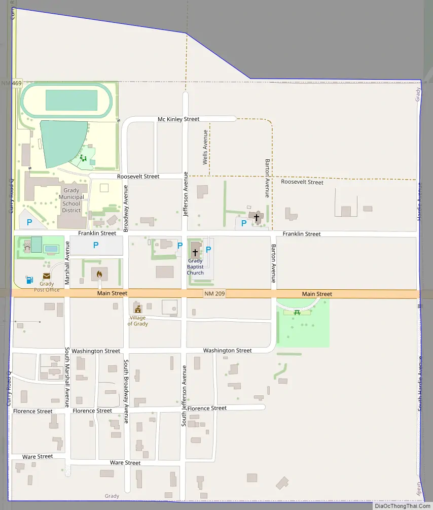
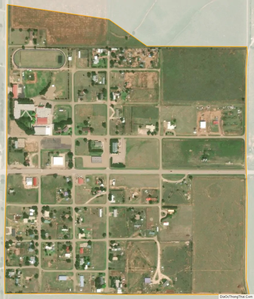
Grady city Satellite Map
Geography
Grady is located in Eastern New Mexico in the physiographic region known as the Llano Estacado or Staked Plains.
According to the United States Census Bureau, the village has a total area of 0.2 square miles (0.52 km), all land.
See also
Map of New Mexico State and its subdivision: Map of other states:- Alabama
- Alaska
- Arizona
- Arkansas
- California
- Colorado
- Connecticut
- Delaware
- District of Columbia
- Florida
- Georgia
- Hawaii
- Idaho
- Illinois
- Indiana
- Iowa
- Kansas
- Kentucky
- Louisiana
- Maine
- Maryland
- Massachusetts
- Michigan
- Minnesota
- Mississippi
- Missouri
- Montana
- Nebraska
- Nevada
- New Hampshire
- New Jersey
- New Mexico
- New York
- North Carolina
- North Dakota
- Ohio
- Oklahoma
- Oregon
- Pennsylvania
- Rhode Island
- South Carolina
- South Dakota
- Tennessee
- Texas
- Utah
- Vermont
- Virginia
- Washington
- West Virginia
- Wisconsin
- Wyoming