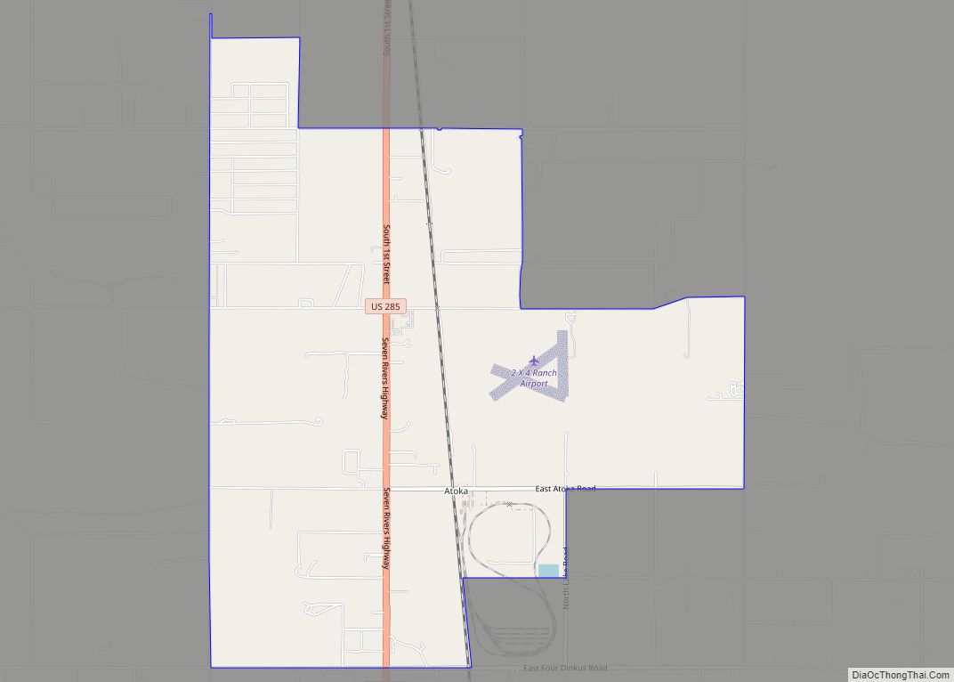
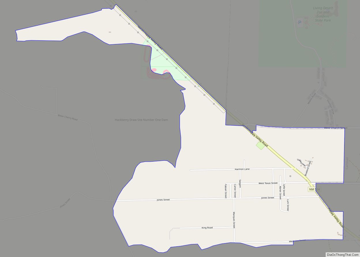
Happy Valley is an unincorporated community and census-designated place in Eddy County, New Mexico, United States. Its population was 519 as of the 2010 census. The community is located on the western edge of Carlsbad; New Mexico State Road 524 passes through the area. The town was settled as a farming community before potash was manufactured here. It was named because the lack of land use regulations made residents happy.
| Name: | Happy Valley CDP |
|---|---|
| LSAD Code: | 57 |
| LSAD Description: | CDP (suffix) |
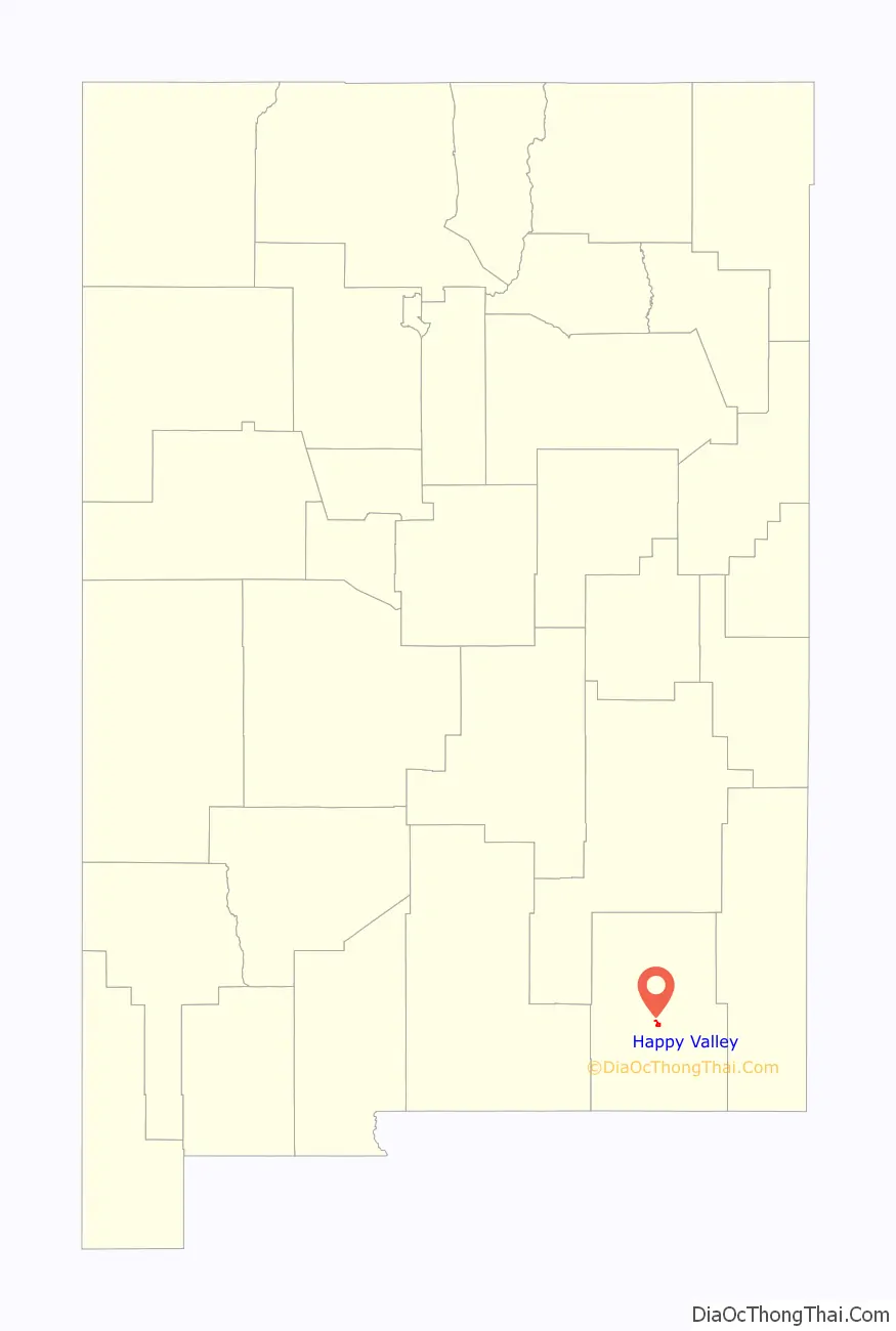
| State: | New Mexico |
| County: | Eddy County |
| Elevation: | 3,209 ft (978 m) |
| Total Area: | 2.15 sq mi (5.56 km²) |
| Land Area: | 2.15 sq mi (5.56 km²) |
| Water Area: | 0.00 sq mi (0.01 km²) |
| Total Population: | 617 |
| Population Density: | 287.65/sq mi (111.06/km²) |
| Area code: | 575 |
| FIPS code: | 3531680 |
| GNISfeature ID: | 2584108 |
Online Interactive Map
Click on ![]() to view map in "full screen" mode.
to view map in "full screen" mode.
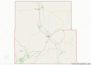
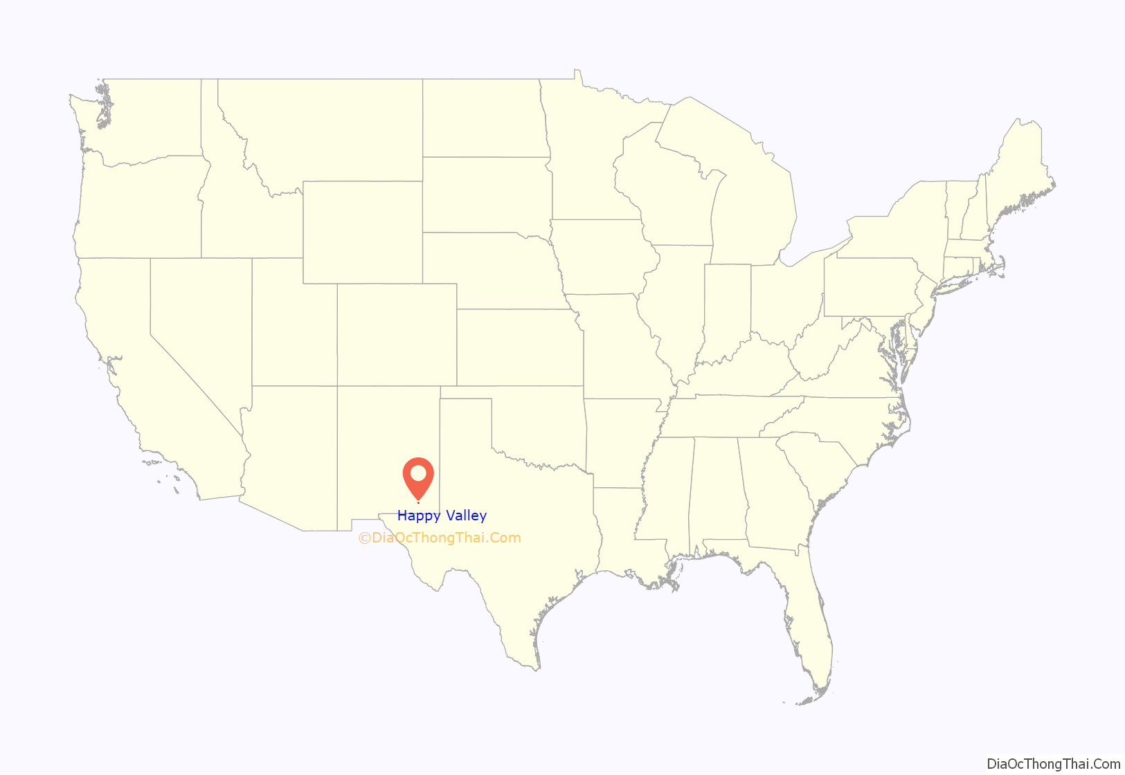
Happy Valley location map. Where is Happy Valley CDP?
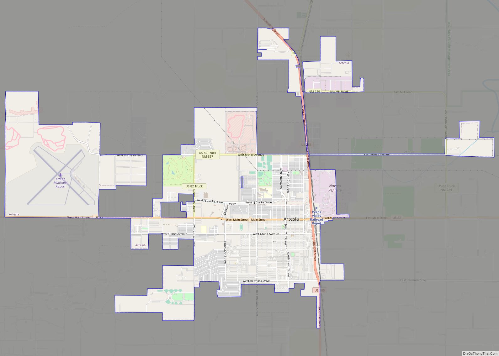
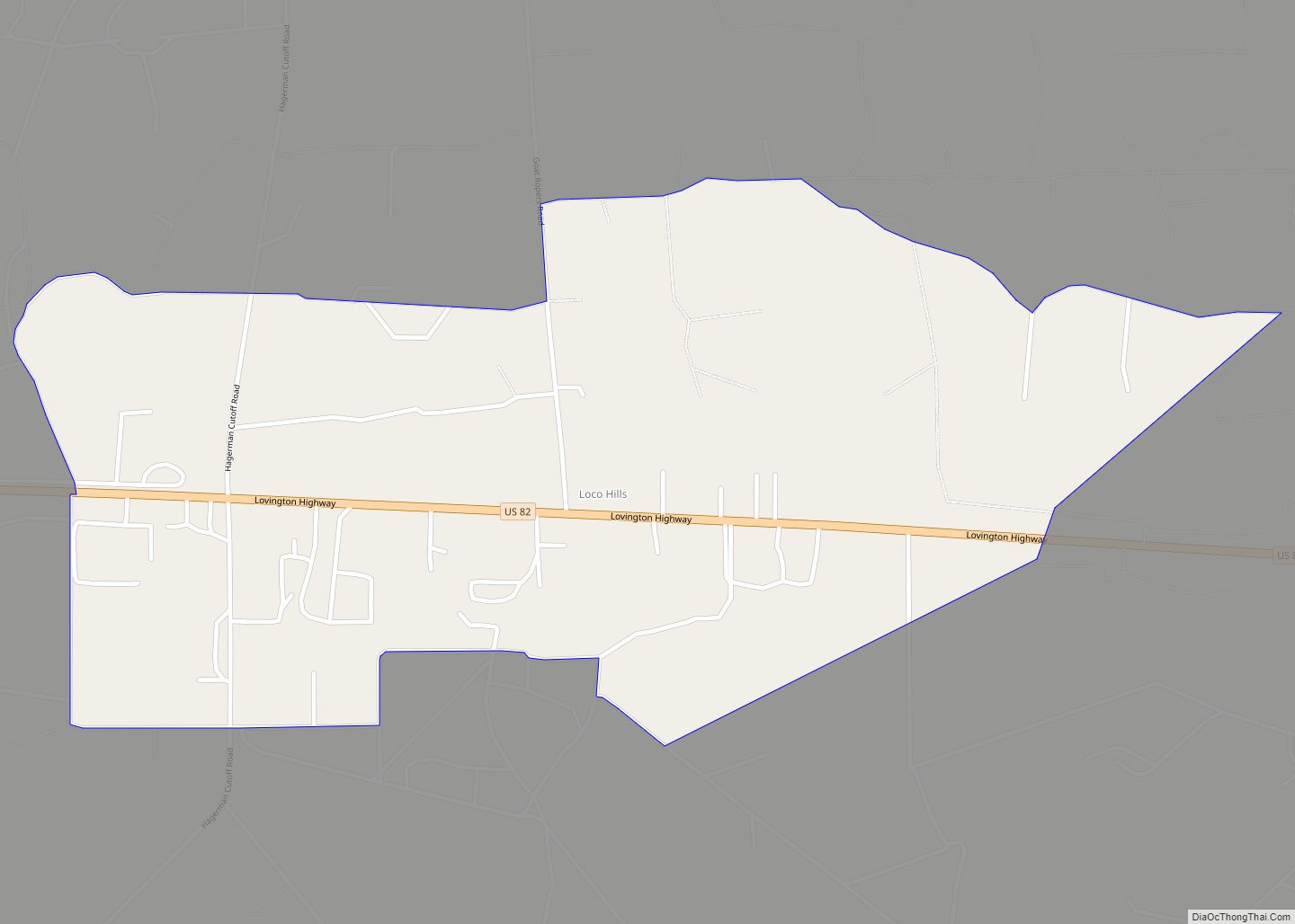
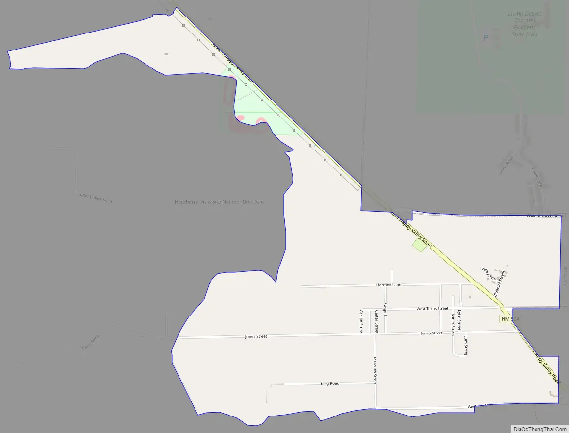
Happy Valley Road Map
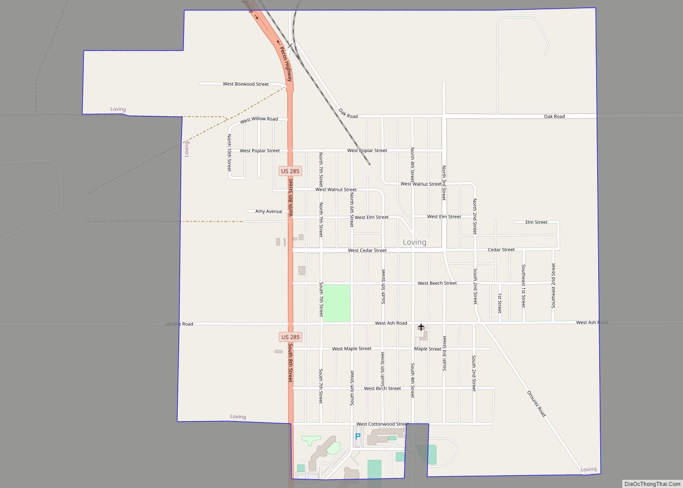
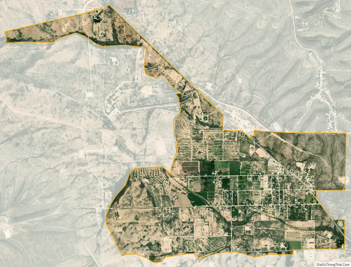
Happy Valley city Satellite Map
Geography
The community is approximately two miles west of the west edge of Carlsbad. According to the U.S. Census Bureau, the community has an area of 2.159 square miles (5.59 km), of which 2.156 square miles (5.58 km) are land and 0.003 square miles (0.0078 km) are water.
See also
Map of New Mexico State and its subdivision: Map of other states:- Alabama
- Alaska
- Arizona
- Arkansas
- California
- Colorado
- Connecticut
- Delaware
- District of Columbia
- Florida
- Georgia
- Hawaii
- Idaho
- Illinois
- Indiana
- Iowa
- Kansas
- Kentucky
- Louisiana
- Maine
- Maryland
- Massachusetts
- Michigan
- Minnesota
- Mississippi
- Missouri
- Montana
- Nebraska
- Nevada
- New Hampshire
- New Jersey
- New Mexico
- New York
- North Carolina
- North Dakota
- Ohio
- Oklahoma
- Oregon
- Pennsylvania
- Rhode Island
- South Carolina
- South Dakota
- Tennessee
- Texas
- Utah
- Vermont
- Virginia
- Washington
- West Virginia
- Wisconsin
- Wyoming