Carlsbad (/ˈkɑːrlzbæd/ KARLZ-bad) is a city in and the county seat of Eddy County, New Mexico, United States. As of the 2020 census, the city population was 32,238. Carlsbad is centered at the intersection of U.S. Routes 62/180 and 285, and is the principal city of the Carlsbad-Artesia Micropolitan Statistical Area, which has a total population of 55,435. Located in the southeastern part of New Mexico, Carlsbad straddles the Pecos River and sits at the eastern edge of the Guadalupe Mountains.
Carlsbad is a hub for potash mining, petroleum production, and tourism. Carlsbad Caverns National Park is located 20 miles (32 km) southwest of the city, and Guadalupe Mountains National Park lies 54 miles (87 km) southwest across the Texas border. The Lincoln National Forest is to the northwest of town.
| Name: | Carlsbad city |
|---|---|
| LSAD Code: | 25 |
| LSAD Description: | city (suffix) |
| State: | New Mexico |
| County: | Eddy County |
| Founded: | 1888 (as Eddy) |
| Incorporated: | 1893 (as Eddy) 1899 (as Carlsbad) |
| Elevation: | 3,127 ft (953 m) |
| Total Area: | 31.79 sq mi (82.34 km²) |
| Land Area: | 31.52 sq mi (81.63 km²) |
| Water Area: | 0.28 sq mi (0.72 km²) |
| Total Population: | 32,238 |
| Population Density: | 1,022.91/sq mi (394.94/km²) |
| Area code: | 575 |
| FIPS code: | 3512150 |
| GNISfeature ID: | 2409985
|
| Website: | www.cityofcarlsbadnm.com |
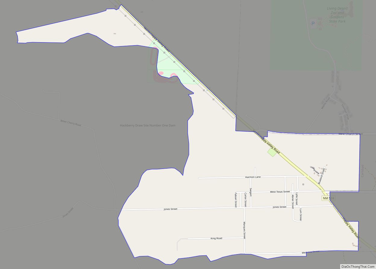
Online Interactive Map
Click on ![]() to view map in "full screen" mode.
to view map in "full screen" mode.
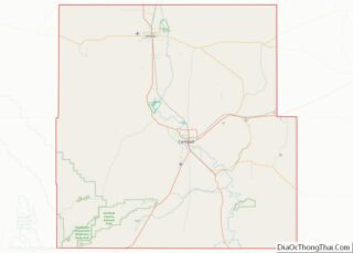
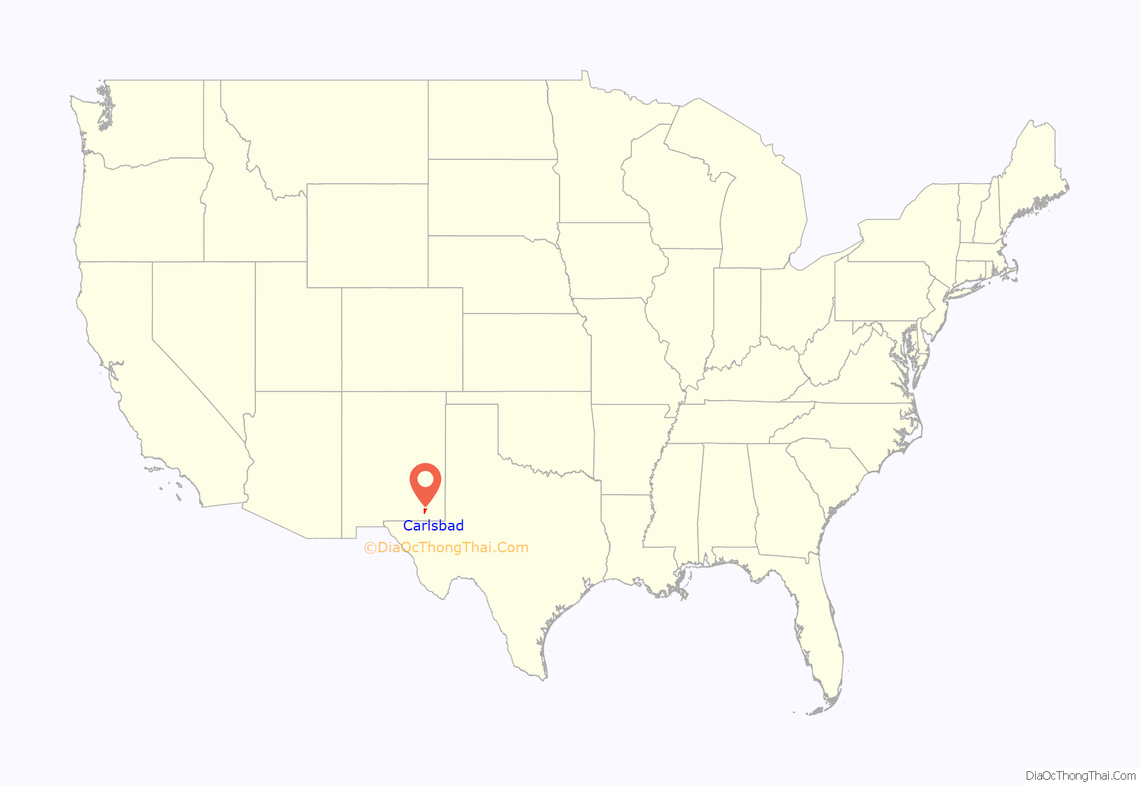
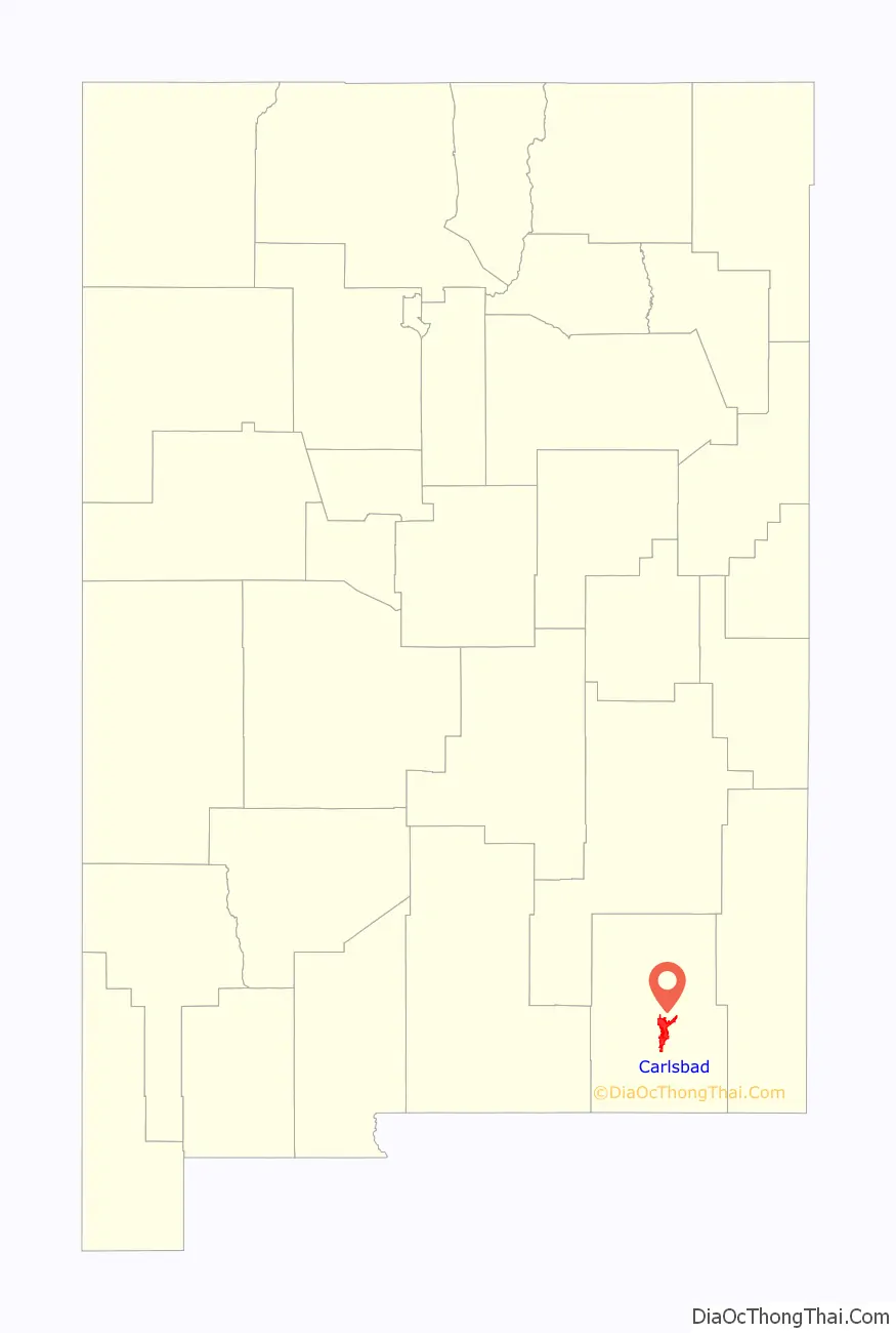
Carlsbad location map. Where is Carlsbad city?
History
The development of southeastern New Mexico in the late 19th century was fueled by the arrival of colonies of immigrants from England, Switzerland, France, and Italy. Located along the banks of the Pecos River, Carlsbad was originally christened the town of Eddy on September 15, 1888, and organized as a municipal corporation in 1893; the settlement bore the name of Charles B. Eddy, co-owner of the Eddy-Bissell Livestock Company. With the commercial development of local mineral springs near the flume for medicinal qualities, the town later voted to change its name to Carlsbad after the famous European spa Carlsbad, Bohemia (now Karlovy Vary, Czech Republic), which in turn was named after Charles IV, Holy Roman Emperor and King of Bohemia. On March 25, 1918, the growing town surpassed a population of 2,000, allowing then-governor of New Mexico Washington Ellsworth Lindsey to proclaim Carlsbad a city.
Most of Carlsbad’s development was due to irrigation water. Local cattlemen recognized the value of diverting water from the Pecos River to the grazing lands on Eddy’s Halagueno Ranch. Many construction projects were undertaken to establish an irrigation system within the town. The Avalon Dam was constructed upstream of town, and canals diverted the water into town. Conflict arose when the canals met the river downstream; as a result, the Pecos River Flume was built, first out of wood and later concrete (the flume is often titled the only place where a river crosses itself).
Key to the growth of the area was special excursion trains that brought visitors from the East at reduced fares. Before the Pecos Valley Railroad arrived in 1891, travel parties met at the railroad station in Toyah, Texas, and were driven by buggy 90 miles (140 km) over a rough, dusty road to this small but growing settlement on the banks of the Pecos River. Most of the early construction in Carlsbad was completed with locally manufactured bricks. The bricks were quite soft and of poor quality. The former First National Bank building at the corner of Canal and Fox streets is one of the few remaining buildings constructed with local brick. The re-discovery of Carlsbad Caverns (then known as “Bat Cave”) by local cowboys in 1901 and the subsequent establishment of Carlsbad Caverns National Park on May 14, 1930, gained the town of Carlsbad substantial recognition.
In 1925, potash was discovered near Carlsbad, and for many years Carlsbad dominated the American potash market. Following the decline of the potash market in the 1960s, the residents and leaders of Carlsbad lobbied for the establishment of the Waste Isolation Pilot Plant (WIPP), a site where low-level nuclear waste would be stored thousands of feet underground in salt beds. Congress authorized the WIPP project in 1979, and construction began in 1980. The DOE Carlsbad Area Office opened in 1993, and the first waste shipment arrived in 1999.
Currently, Carlsbad has experienced a “boom”. The city is leading in the production of oil and natural gases across the entire area, causing an increase in the employment rate. Due to this increase families and individuals have begun to migrate to Carlsbad.
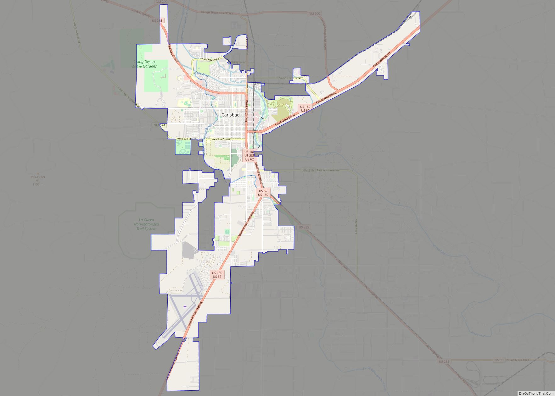
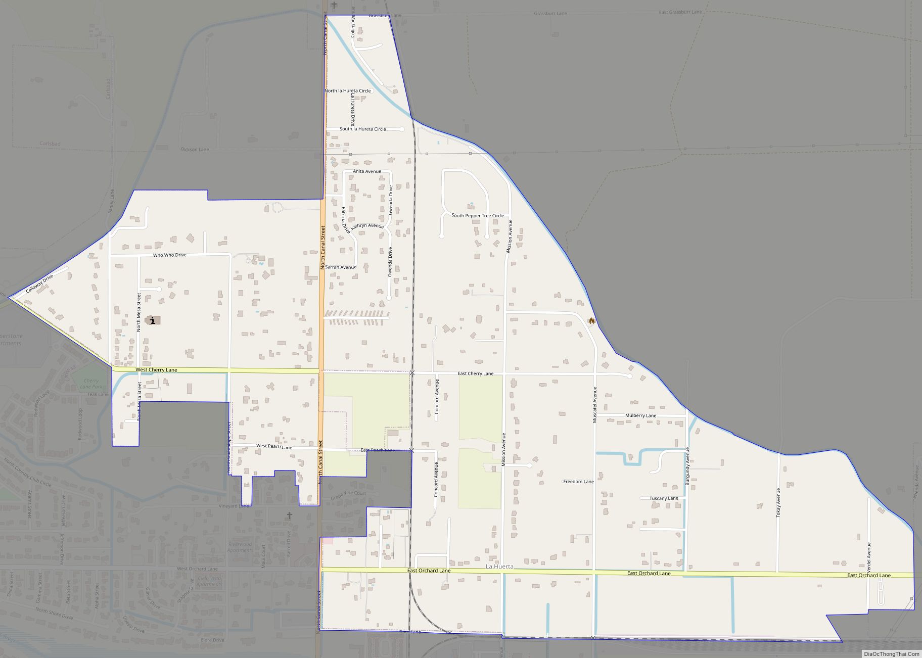
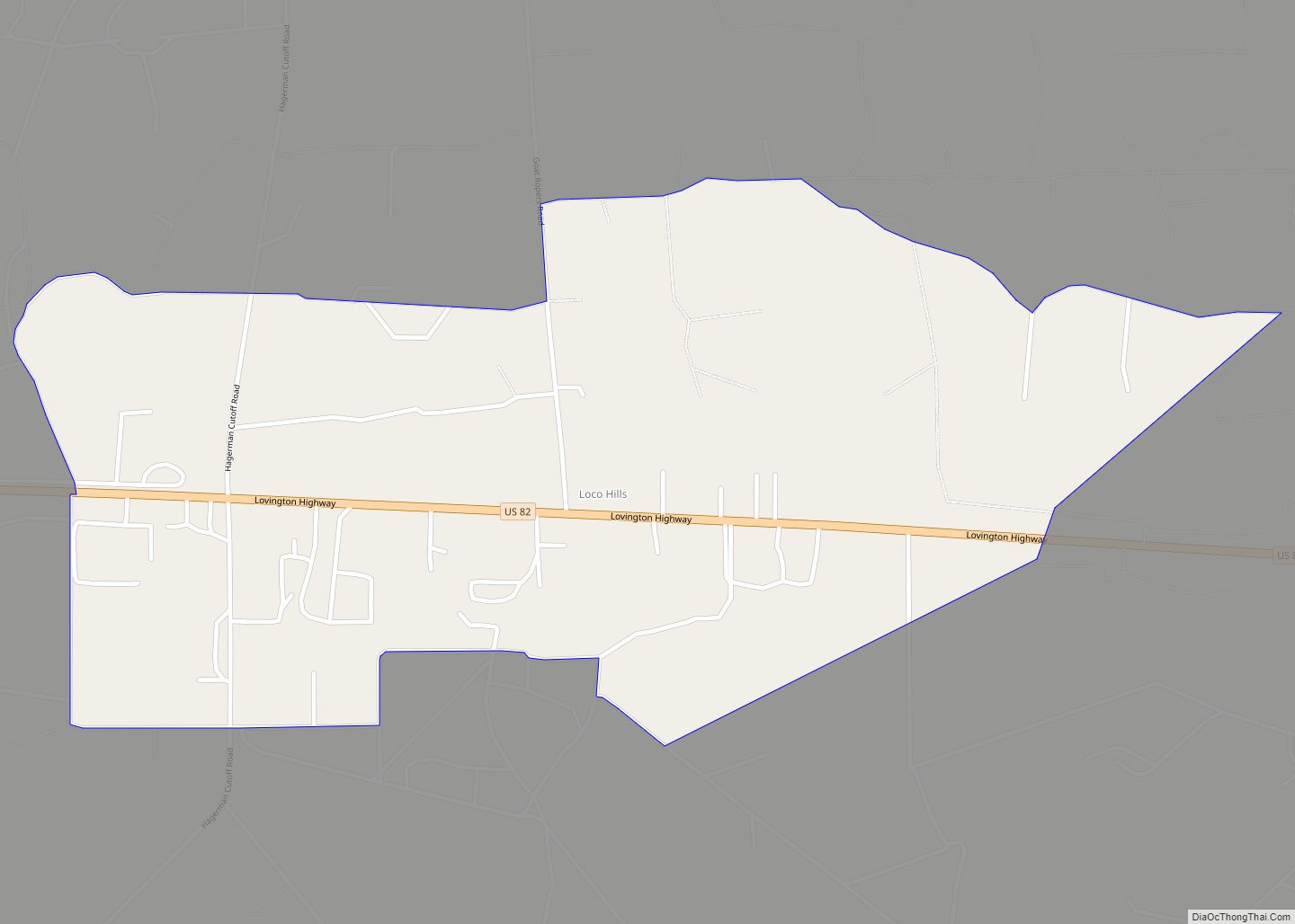
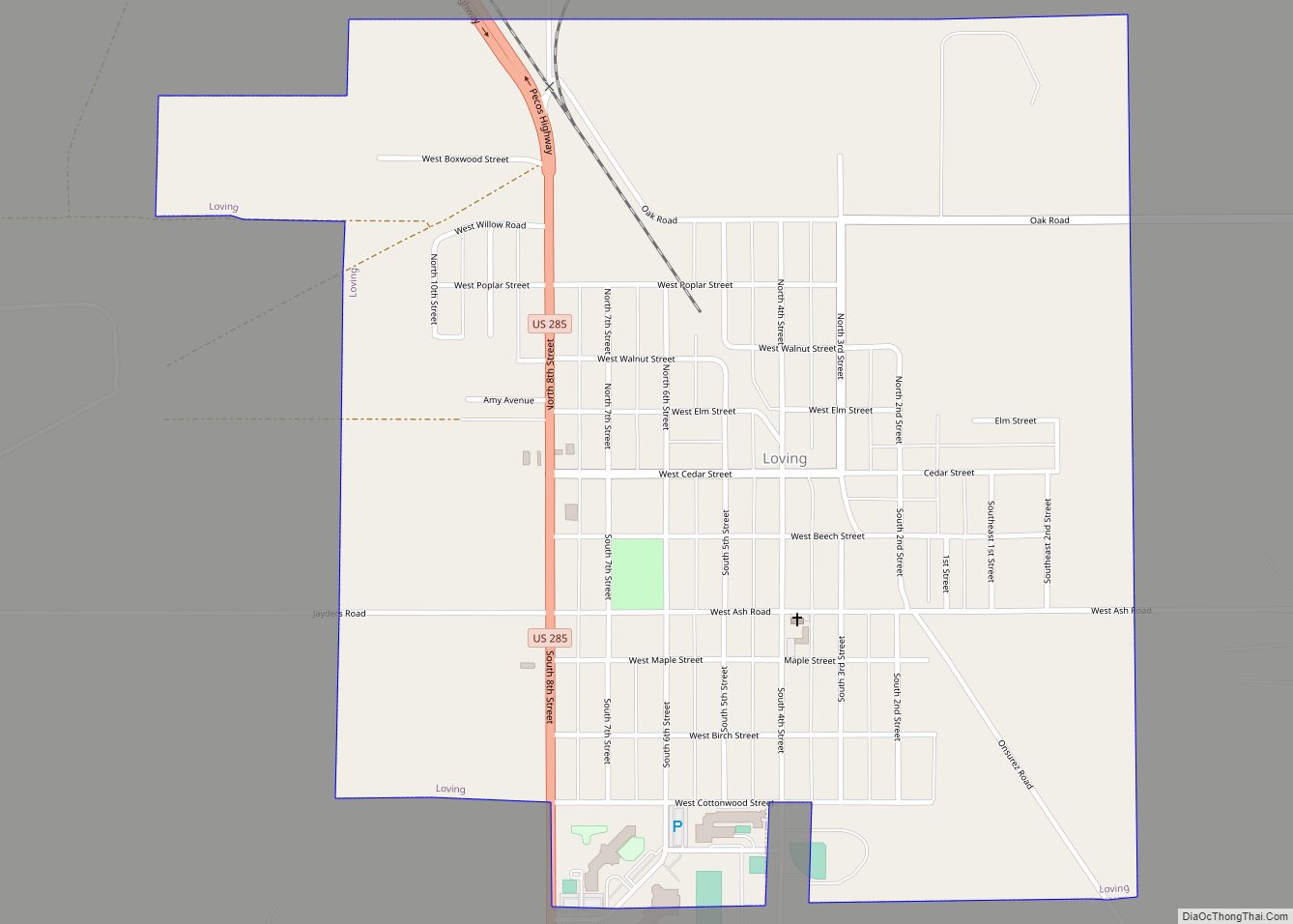
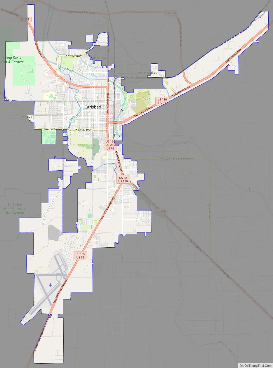
Carlsbad Road Map
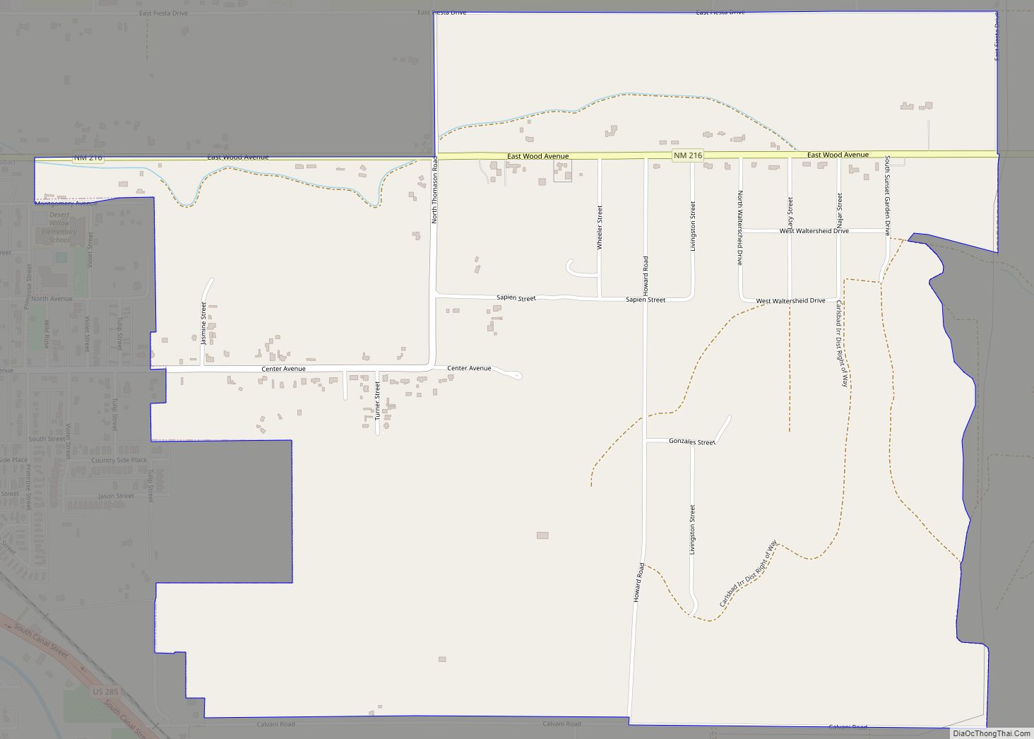
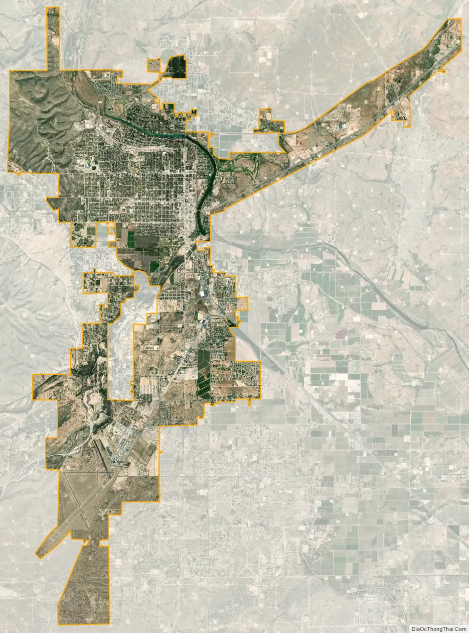
Carlsbad city Satellite Map
Geography
Carlsbad is located near the center of Eddy County at 32°24′43″N 104°14′11″W / 32.41194°N 104.23639°W / 32.41194; -104.23639 (32.407577, -104.245167) at an elevation of 3,295 feet (1,004 m). Carlsbad is situated in the northern reaches of the Chihuahuan Desert ecoregion, in the lower Pecos River Valley. Via US 285 it is 36 miles (58 km) north to Artesia and 86 miles (138 km) south to Pecos, Texas. US Routes 62 and 180 lead northeast 69 miles (111 km) to Hobbs and southwest 169 miles (272 km) to El Paso.
According to the United States Census Bureau, Carlsbad has a total area of 29.2 square miles (75.6 km); 28.9 square miles (74.9 km) of the city is land, and 0.3 square miles (0.7 km), or 0.93%, is water. Most of the water within city limits consists of the Pecos River and Lake Carlsbad recreation area. The river flows into the northern part of Carlsbad, downstream from Lake Avalon and Brantley Lake, passes east of downtown, and exits in the southeast. Dark Canyon Draw also runs through the southern part of town, but only drains during heavy rainfall.
Carlsbad is part of the Interior West climate zone. It is classified as hot semi-arid (Köppen BSh), meaning average annual precipitation is less than potential evapotranspiration, but more than half. A moderate amount of rain falls each year, with the maximum occurring during July. Winters in Carlsbad are dry and mild, below freezing temperatures are a common occurrence at night. Springs are warm but can be occasionally hot. Summers are very hot which is very common for southern Plains of New Mexico and West Texas and average around 35 days per year of temperatures above 100 °F (38 °C) which can be unpleasant. Carlsbad is affected be the North American Monsoon during summer which can bring torrential downpours and flooding, which lowers daytime summer temperatures from the scorching great plains heat. Fall is generally warm and can be cold at times. Extreme temperatures ranges from −16 °F (−27 °C) on January 11, 1962, to 114 °F (46 °C) on June 28, 1994. 53 tornadoes have been reported in Eddy County since 1950.
See also
Map of New Mexico State and its subdivision: Map of other states:- Alabama
- Alaska
- Arizona
- Arkansas
- California
- Colorado
- Connecticut
- Delaware
- District of Columbia
- Florida
- Georgia
- Hawaii
- Idaho
- Illinois
- Indiana
- Iowa
- Kansas
- Kentucky
- Louisiana
- Maine
- Maryland
- Massachusetts
- Michigan
- Minnesota
- Mississippi
- Missouri
- Montana
- Nebraska
- Nevada
- New Hampshire
- New Jersey
- New Mexico
- New York
- North Carolina
- North Dakota
- Ohio
- Oklahoma
- Oregon
- Pennsylvania
- Rhode Island
- South Carolina
- South Dakota
- Tennessee
- Texas
- Utah
- Vermont
- Virginia
- Washington
- West Virginia
- Wisconsin
- Wyoming