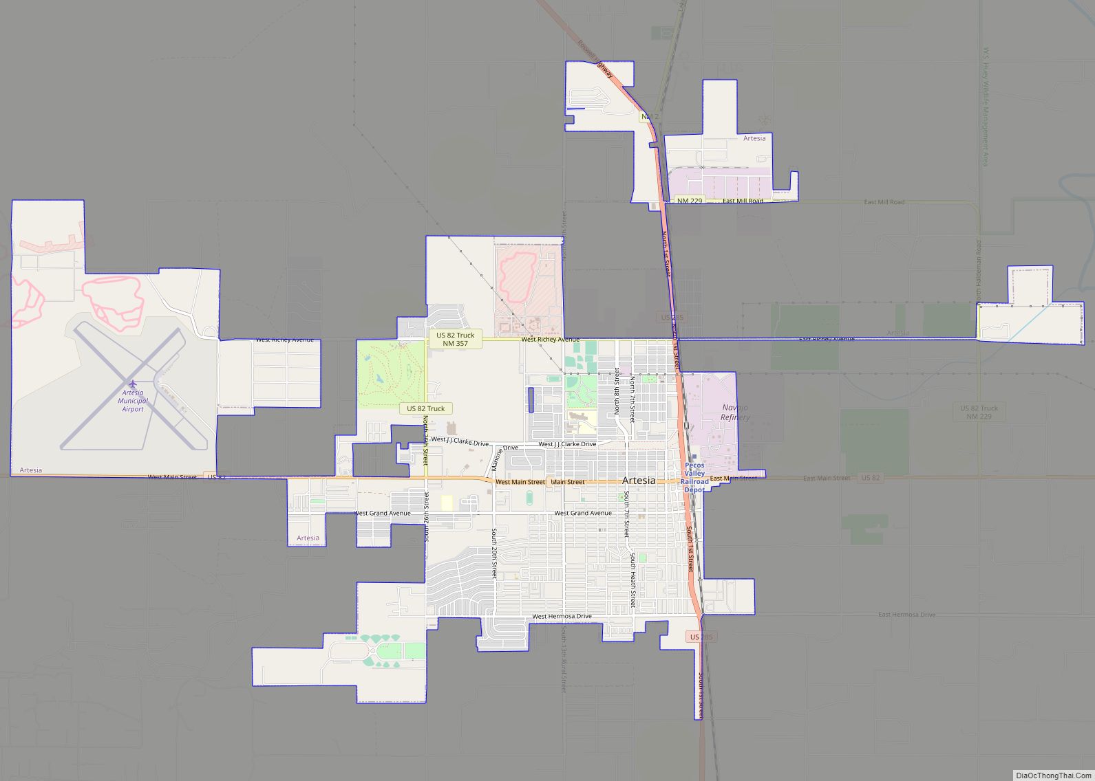
Artesia is a city in Eddy County, New Mexico, centered at the intersection of U.S. routes 82 and 285; the two highways serve as the city’s Main Street and First Street, respectively. As of the 2010 census, the city population was 11,301.
| Name: | Artesia city |
|---|---|
| LSAD Code: | 25 |
| LSAD Description: | city (suffix) |
| State: | New Mexico |
| County: | Eddy County |
| Founded: | 1905 |
| Elevation: | 3,379 ft (1,030 m) |
| Total Area: | 11.37 sq mi (29.43 km²) |
| Land Area: | 11.33 sq mi (29.35 km²) |
| Water Area: | 0.03 sq mi (0.09 km²) |
| Total Population: | 12,875 |
| Population Density: | 1,136.26/sq mi (438.73/km²) |
| ZIP code: | 88210-88211 |
| Area code: | 575 |
| FIPS code: | 3505220 |
| GNISfeature ID: | 0885911 |
| Website: | www.artesianm.gov |
Online Interactive Map
Click on ![]() to view map in "full screen" mode.
to view map in "full screen" mode.
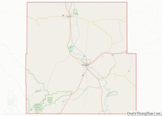
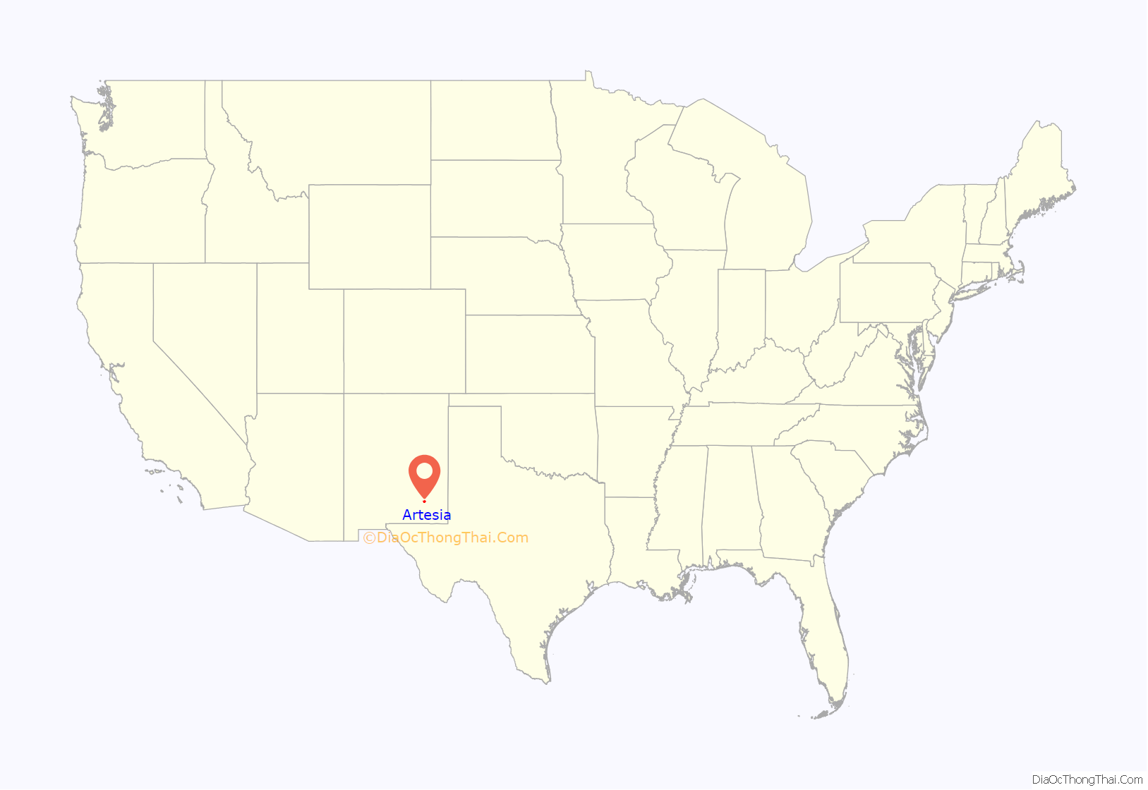
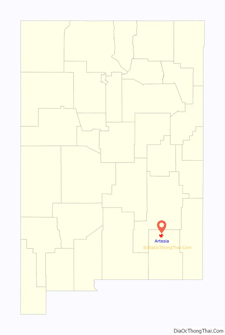
Artesia location map. Where is Artesia city?
History
The town assumed its present name in 1903, after the discovery of an artesian aquifer in the area; artesian wells for agriculture flourished in the area until the aquifer became significantly depleted in the 1920s. The city was officially incorporated in 1905. It is home to one of the two Strangite meeting places in the world.
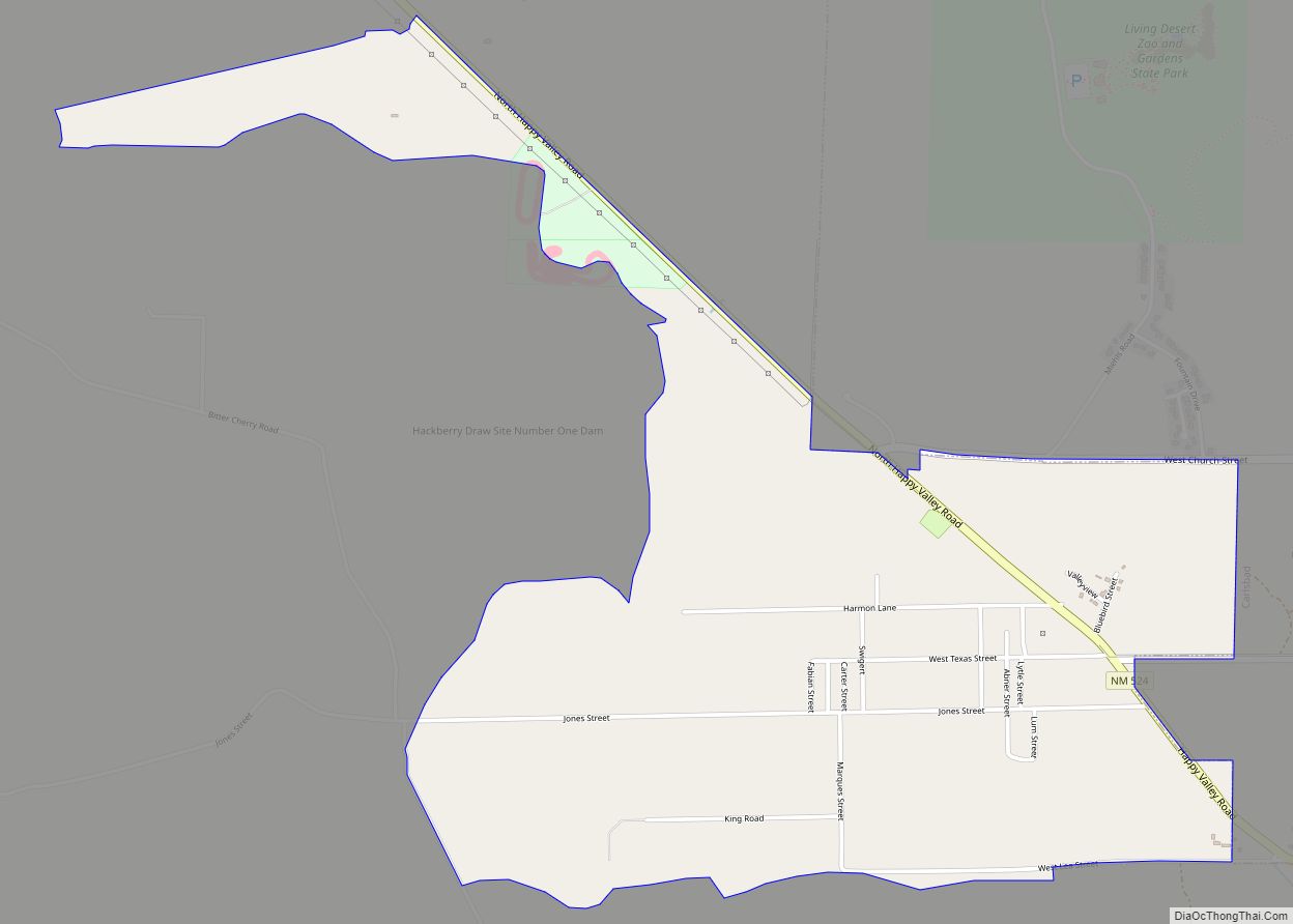
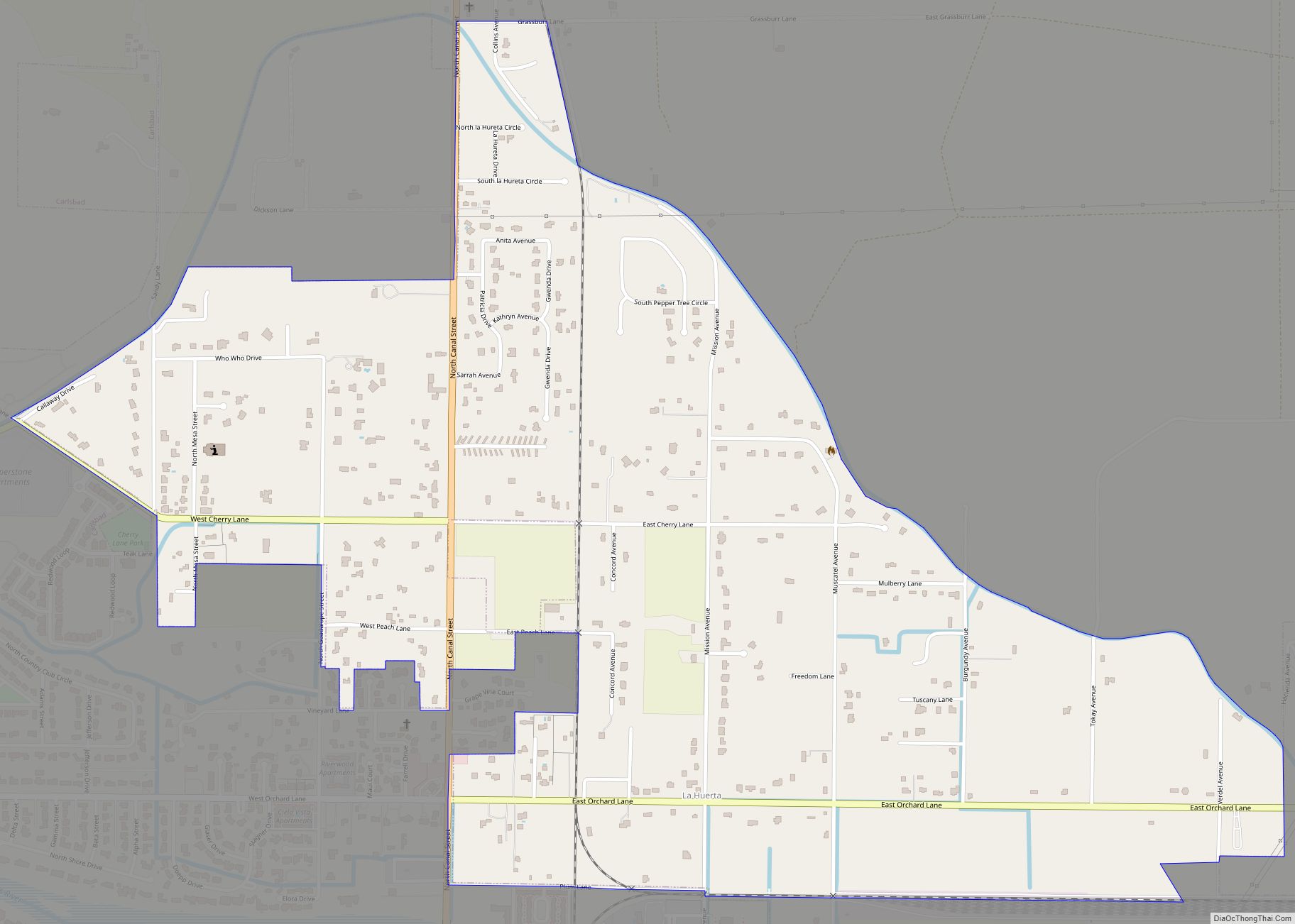
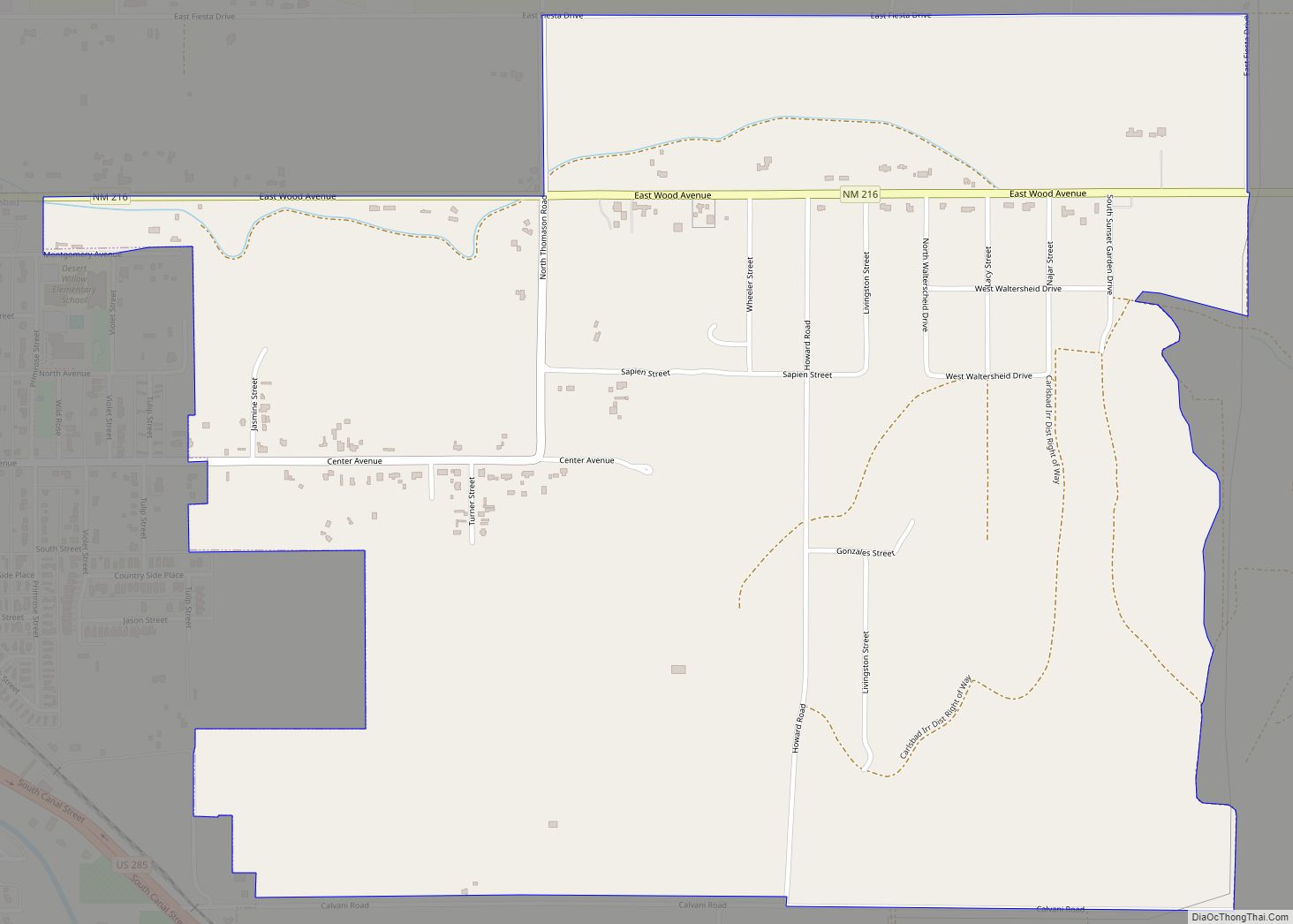
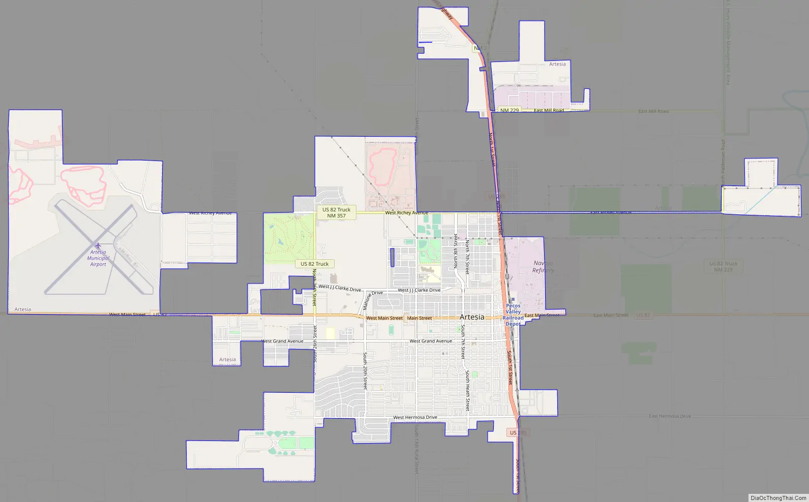
Artesia Road Map
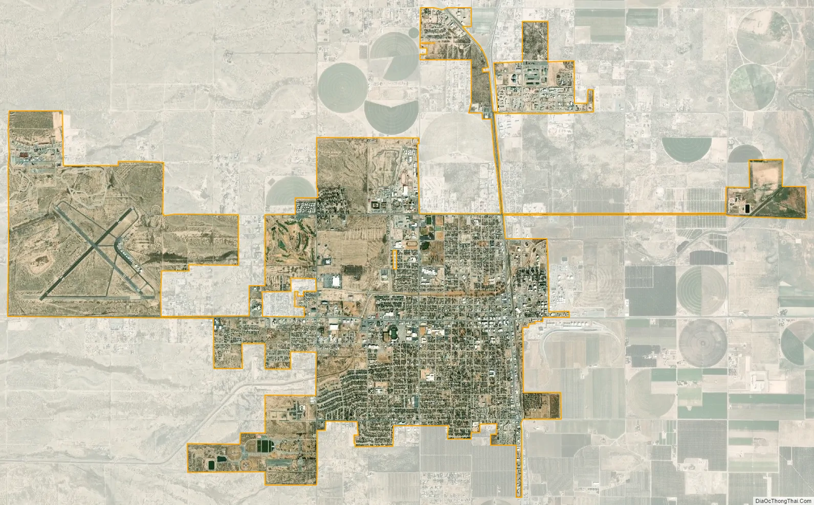
Artesia city Satellite Map
Geography
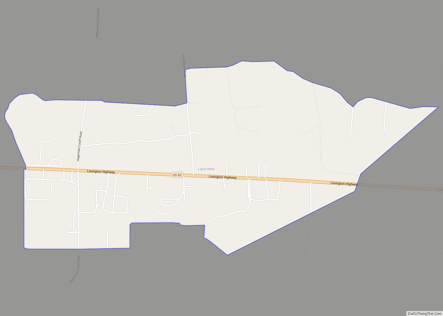
Artesia is located in northern Eddy County. US 82 leads east 64 miles (103 km) to Lovington and west 110 miles (180 km) to Alamogordo, while US 285 leads north 40 miles (64 km) to Roswell and south 36 miles (58 km) to Carlsbad, the Eddy County seat.
According to the United States Census Bureau, Artesia has a total area of 9.9 square miles (25.7 km), of which 0.02 square miles (0.05 km), or 0.21%, is covered by water.
The Pecos River is approximately 4 miles (6 km) east of Artesia.
See also
Map of New Mexico State and its subdivision: Map of other states:- Alabama
- Alaska
- Arizona
- Arkansas
- California
- Colorado
- Connecticut
- Delaware
- District of Columbia
- Florida
- Georgia
- Hawaii
- Idaho
- Illinois
- Indiana
- Iowa
- Kansas
- Kentucky
- Louisiana
- Maine
- Maryland
- Massachusetts
- Michigan
- Minnesota
- Mississippi
- Missouri
- Montana
- Nebraska
- Nevada
- New Hampshire
- New Jersey
- New Mexico
- New York
- North Carolina
- North Dakota
- Ohio
- Oklahoma
- Oregon
- Pennsylvania
- Rhode Island
- South Carolina
- South Dakota
- Tennessee
- Texas
- Utah
- Vermont
- Virginia
- Washington
- West Virginia
- Wisconsin
- Wyoming