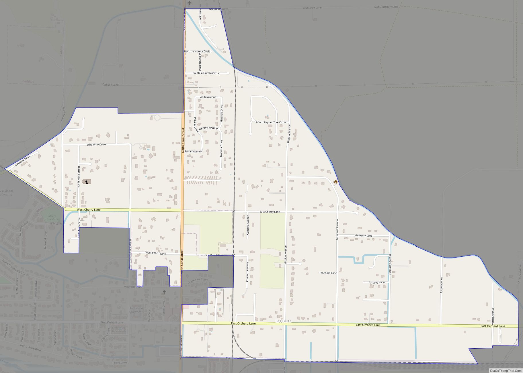
La Huerta, formerly known as Carlsbad North, is an unincorporated area and census-designated place (CDP) in Eddy County, New Mexico, United States. The population was 1,246 at the 2010 census. The community, whose name means “fruit garden” in Spanish, was named after the orchards and garden plots that supplied food to Carlsbad.
| Name: | La Huerta CDP |
|---|---|
| LSAD Code: | 57 |
| LSAD Description: | CDP (suffix) |
| State: | New Mexico |
| County: | Eddy County |
| Elevation: | 3,117 ft (950 m) |
| Total Area: | 1.52 sq mi (3.95 km²) |
| Land Area: | 1.52 sq mi (3.95 km²) |
| Water Area: | 0.00 sq mi (0.00 km²) |
| Total Population: | 1,448 |
| Population Density: | 950.13/sq mi (366.95/km²) |
| Area code: | 575 |
| FIPS code: | 3537420 |
| GNISfeature ID: | 2407964 |
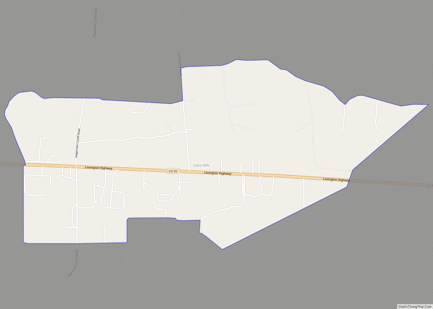
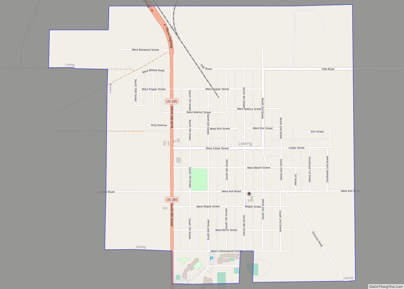
Online Interactive Map
Click on ![]() to view map in "full screen" mode.
to view map in "full screen" mode.
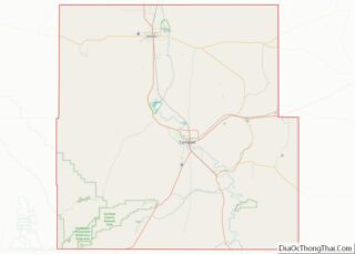
La Huerta location map. Where is La Huerta CDP?
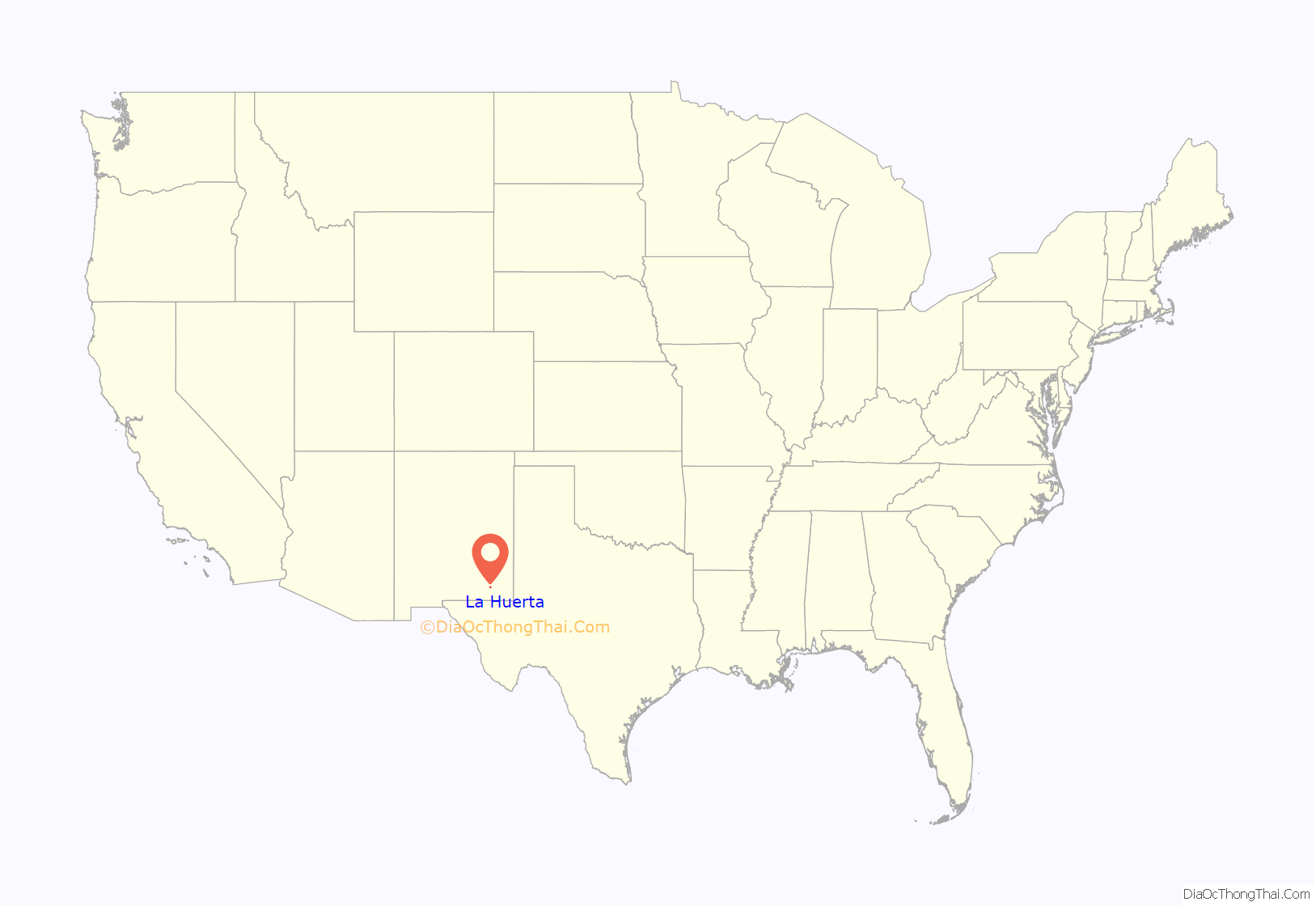
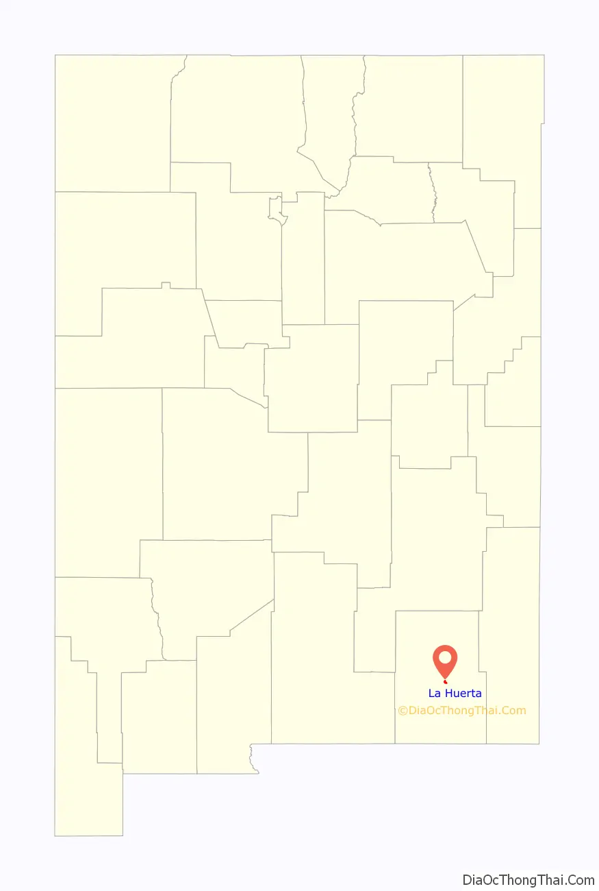
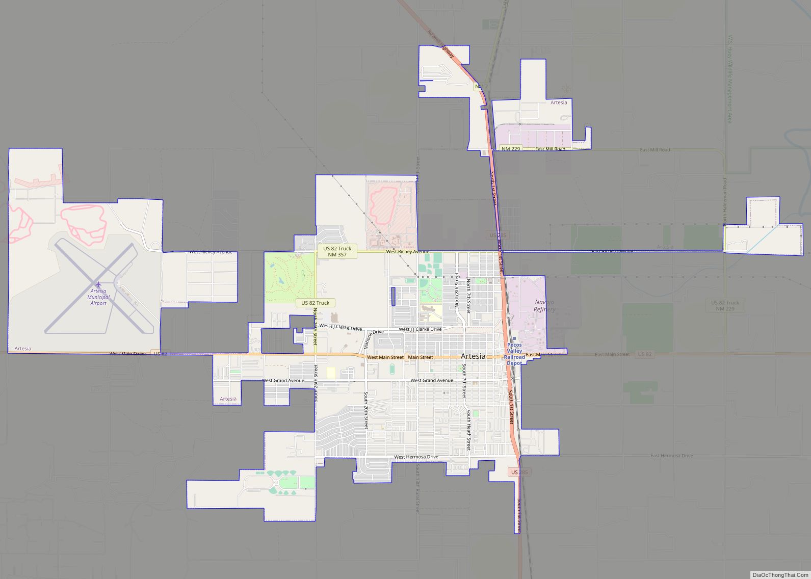
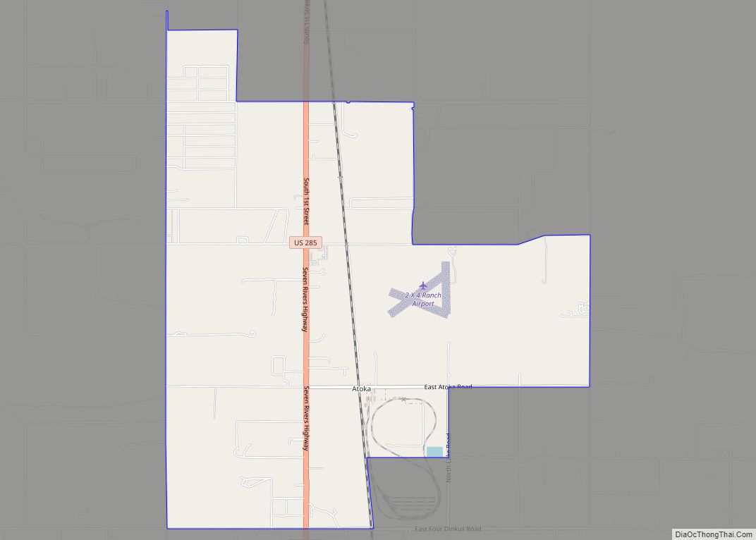
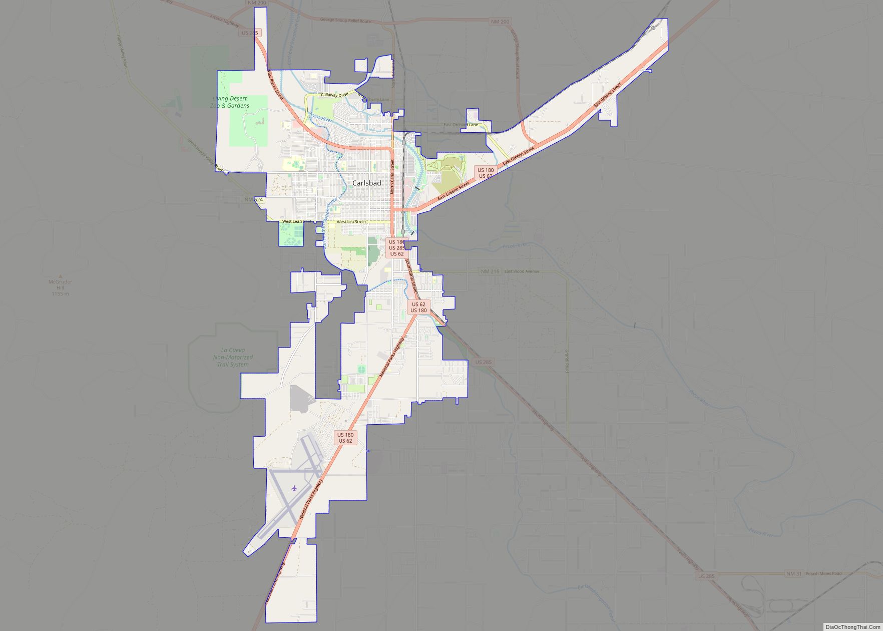
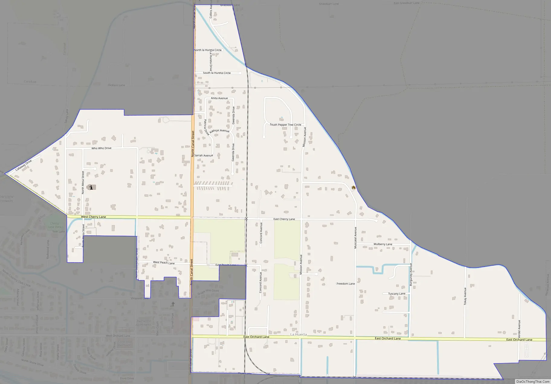
La Huerta Road Map
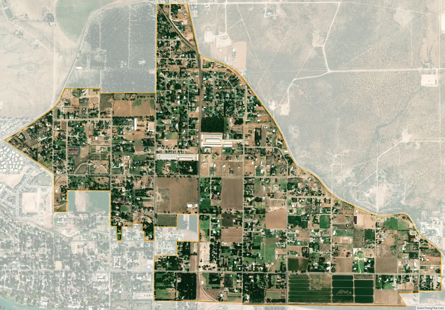
La Huerta city Satellite Map
Geography
La Huerta is located in central Eddy County and is bordered to the south by the city of Carlsbad, the county seat. The Pecos River flows past 3/4 mile to the south.
According to the United States Census Bureau, the CDP has a total area of 1.5 square miles (4.0 km), all land.
See also
Map of New Mexico State and its subdivision: Map of other states:- Alabama
- Alaska
- Arizona
- Arkansas
- California
- Colorado
- Connecticut
- Delaware
- District of Columbia
- Florida
- Georgia
- Hawaii
- Idaho
- Illinois
- Indiana
- Iowa
- Kansas
- Kentucky
- Louisiana
- Maine
- Maryland
- Massachusetts
- Michigan
- Minnesota
- Mississippi
- Missouri
- Montana
- Nebraska
- Nevada
- New Hampshire
- New Jersey
- New Mexico
- New York
- North Carolina
- North Dakota
- Ohio
- Oklahoma
- Oregon
- Pennsylvania
- Rhode Island
- South Carolina
- South Dakota
- Tennessee
- Texas
- Utah
- Vermont
- Virginia
- Washington
- West Virginia
- Wisconsin
- Wyoming