Lake Sumner is a census-designated place (CDP) in De Baca County, New Mexico, United States. The population was 143 at the 2010 census, up from the figure of 86 recorded in 2000.
| Name: | Lake Sumner CDP |
|---|---|
| LSAD Code: | 57 |
| LSAD Description: | CDP (suffix) |
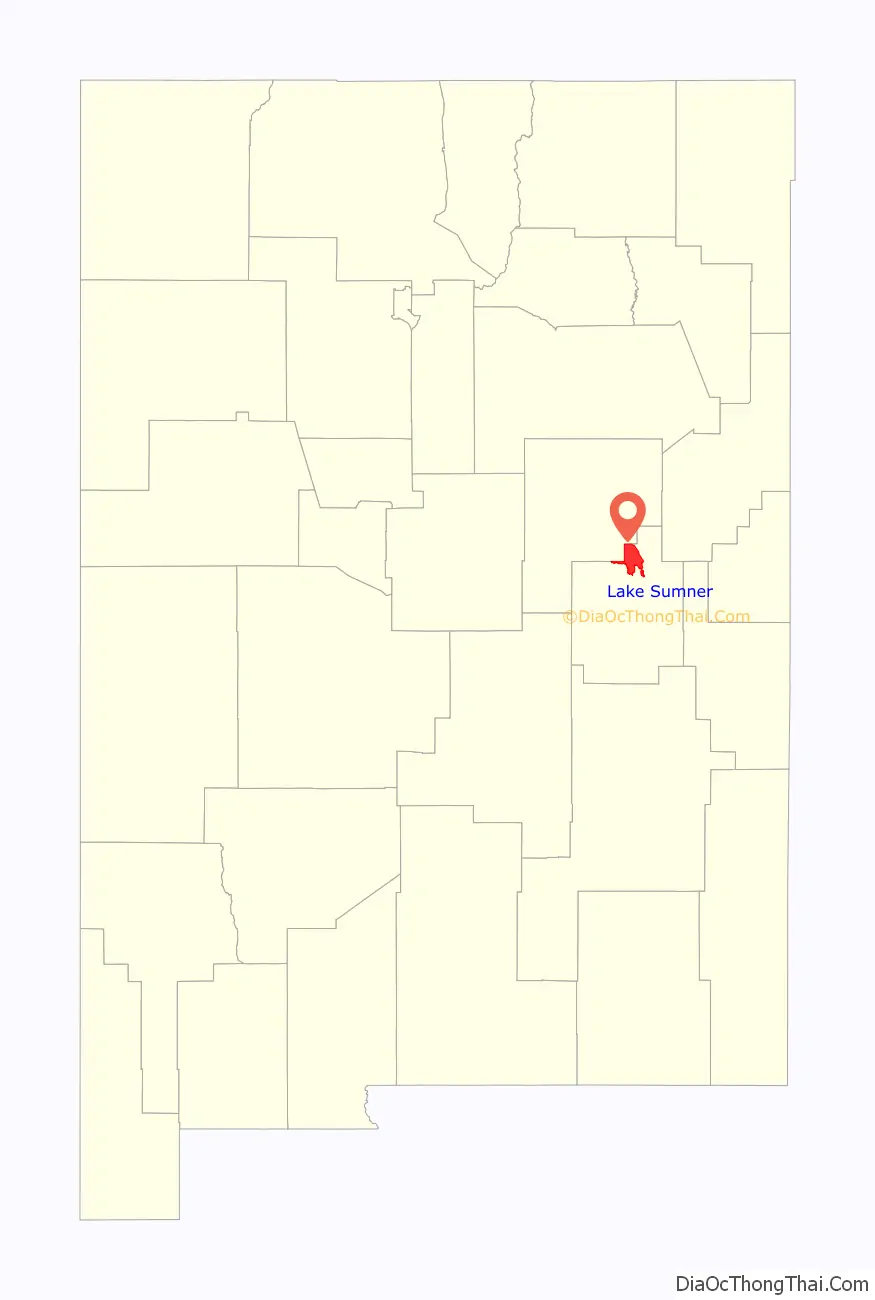
| State: | New Mexico |
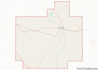
| County: | De Baca County |
| Elevation: | 4,308 ft (1,313 m) |
| Total Area: | 68.53 sq mi (177.48 km²) |
| Land Area: | 62.27 sq mi (161.28 km²) |
| Water Area: | 6.25 sq mi (16.20 km²) |
| Total Population: | 72 |
| Population Density: | 1.16/sq mi (0.45/km²) |
| ZIP code: | 88119 |
| Area code: | 575 |
| FIPS code: | 3537875 |
| GNISfeature ID: | 1852628 |
Online Interactive Map
Click on ![]() to view map in "full screen" mode.
to view map in "full screen" mode.
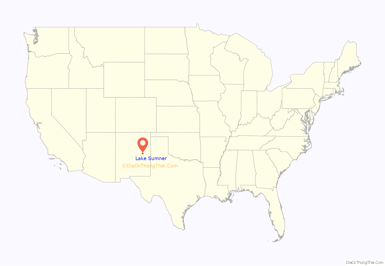
Lake Sumner location map. Where is Lake Sumner CDP?
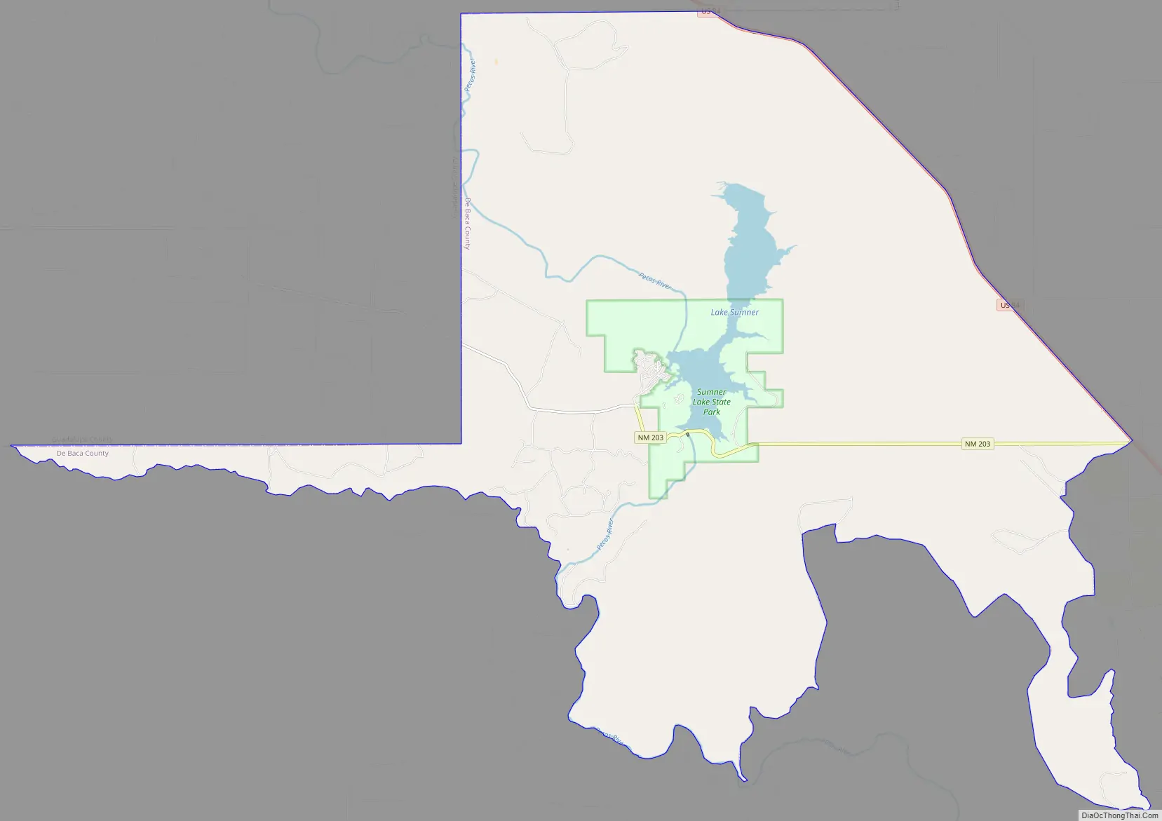
Lake Sumner Road Map
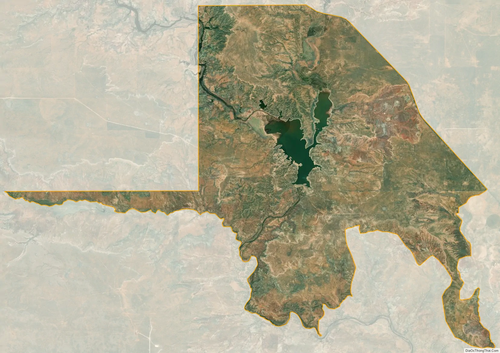
Lake Sumner city Satellite Map
Geography
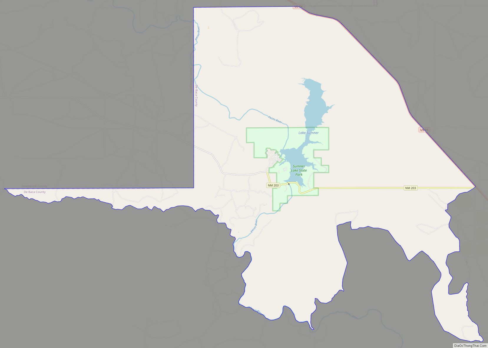
Lake Sumner is located in northern De Baca County at 34°36′46″N 104°24′7″W / 34.61278°N 104.40194°W / 34.61278; -104.40194 (34.612692, -104.401809). The CDP surrounds Lake Sumner, a reservoir formed by Sumner Dam on the Pecos River. Sumner Lake State Park occupies the east and west sides of the lake at its south end, near the outlet. U.S. Route 84 forms the northeastern edge of the CDP; the highway leads southeast 10 miles (16 km) to Fort Sumner, the De Baca County seat, and northwest 34 miles (55 km) to Santa Rosa.
According to the United States Census Bureau, the CDP has a total area of 68.5 square miles (177.3 km), of which 62.2 square miles (161.0 km) is land and 6.3 square miles (16.3 km), or 9.17%, is water.
Climate
According to the Köppen Climate Classification system, Lake Sumner has a cold semi-arid climate, abbreviated “BSk” on climate maps. The hottest temperature recorded at Lake Sumner was 112 °F (44.4 °C) on June 12, 2022, while the coldest temperature recorded was −24 °F (−31.1 °C) on January 13, 1963.
See also
Map of New Mexico State and its subdivision: Map of other states:- Alabama
- Alaska
- Arizona
- Arkansas
- California
- Colorado
- Connecticut
- Delaware
- District of Columbia
- Florida
- Georgia
- Hawaii
- Idaho
- Illinois
- Indiana
- Iowa
- Kansas
- Kentucky
- Louisiana
- Maine
- Maryland
- Massachusetts
- Michigan
- Minnesota
- Mississippi
- Missouri
- Montana
- Nebraska
- Nevada
- New Hampshire
- New Jersey
- New Mexico
- New York
- North Carolina
- North Dakota
- Ohio
- Oklahoma
- Oregon
- Pennsylvania
- Rhode Island
- South Carolina
- South Dakota
- Tennessee
- Texas
- Utah
- Vermont
- Virginia
- Washington
- West Virginia
- Wisconsin
- Wyoming