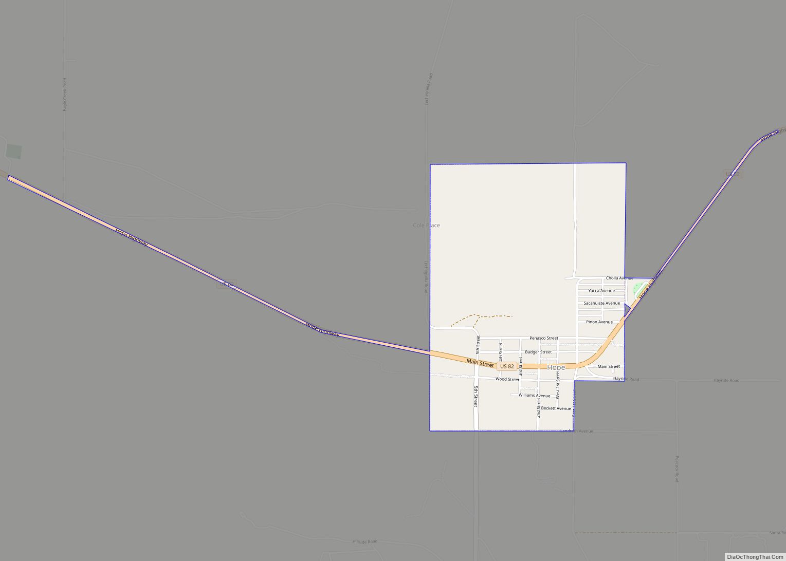
Loving is a village in Eddy County, New Mexico. As of the 2010 census, the village population was 1,413. Loving was settled by Swiss immigrants in the 1890s.
| Name: | Loving village |
|---|---|
| LSAD Code: | 47 |
| LSAD Description: | village (suffix) |
| State: | New Mexico |
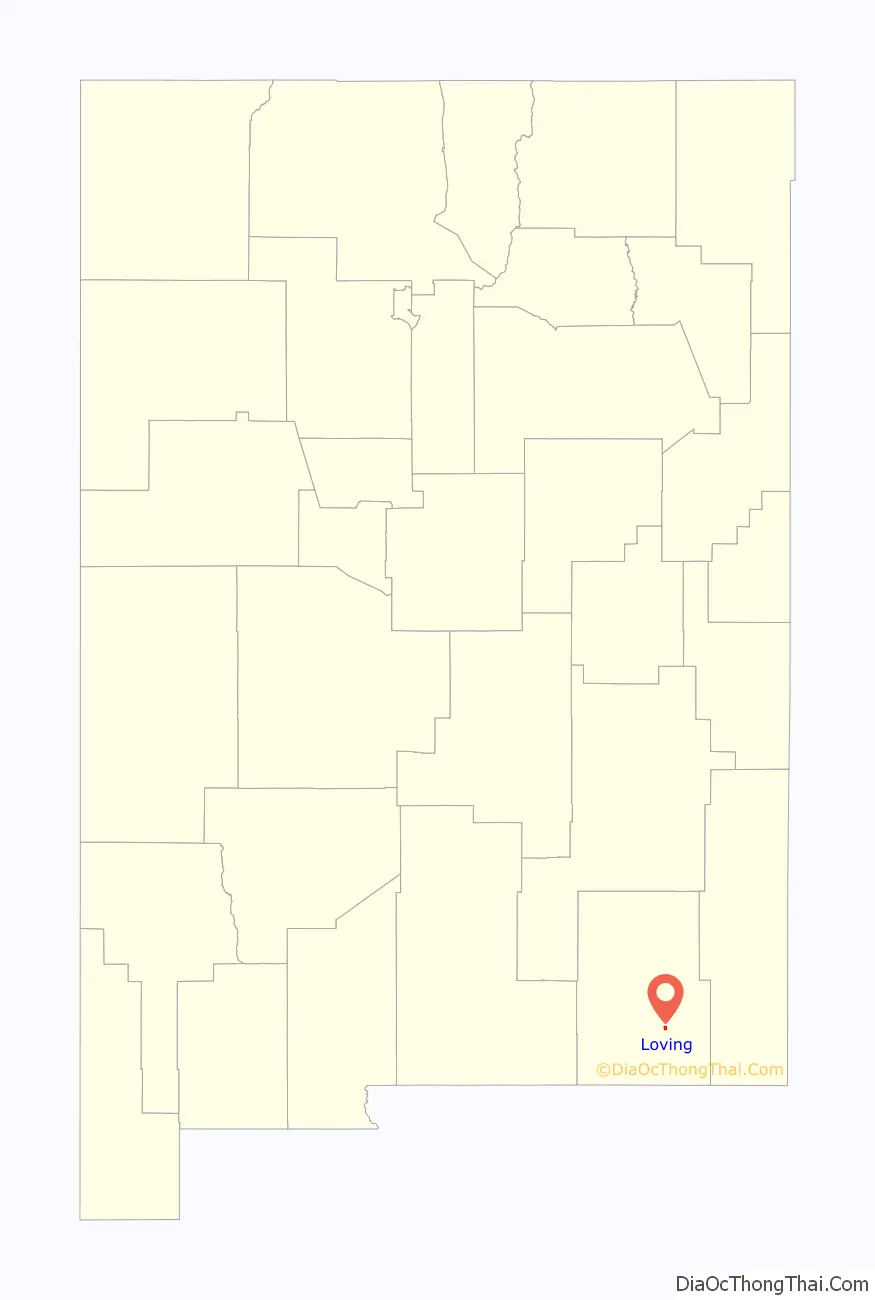
| County: | Eddy County |
| Elevation: | 3,051 ft (930 m) |
| Total Area: | 1.21 sq mi (3.13 km²) |
| Land Area: | 1.21 sq mi (3.12 km²) |
| Water Area: | 0.00 sq mi (0.00 km²) |
| Total Population: | 1,390 |
| Population Density: | 1,152.57/sq mi (444.91/km²) |
| ZIP code: | 88256 |
| Area code: | 575 |
| FIPS code: | 3544420 |
| GNISfeature ID: | 2413569 |
| Website: | villageofloving.org |
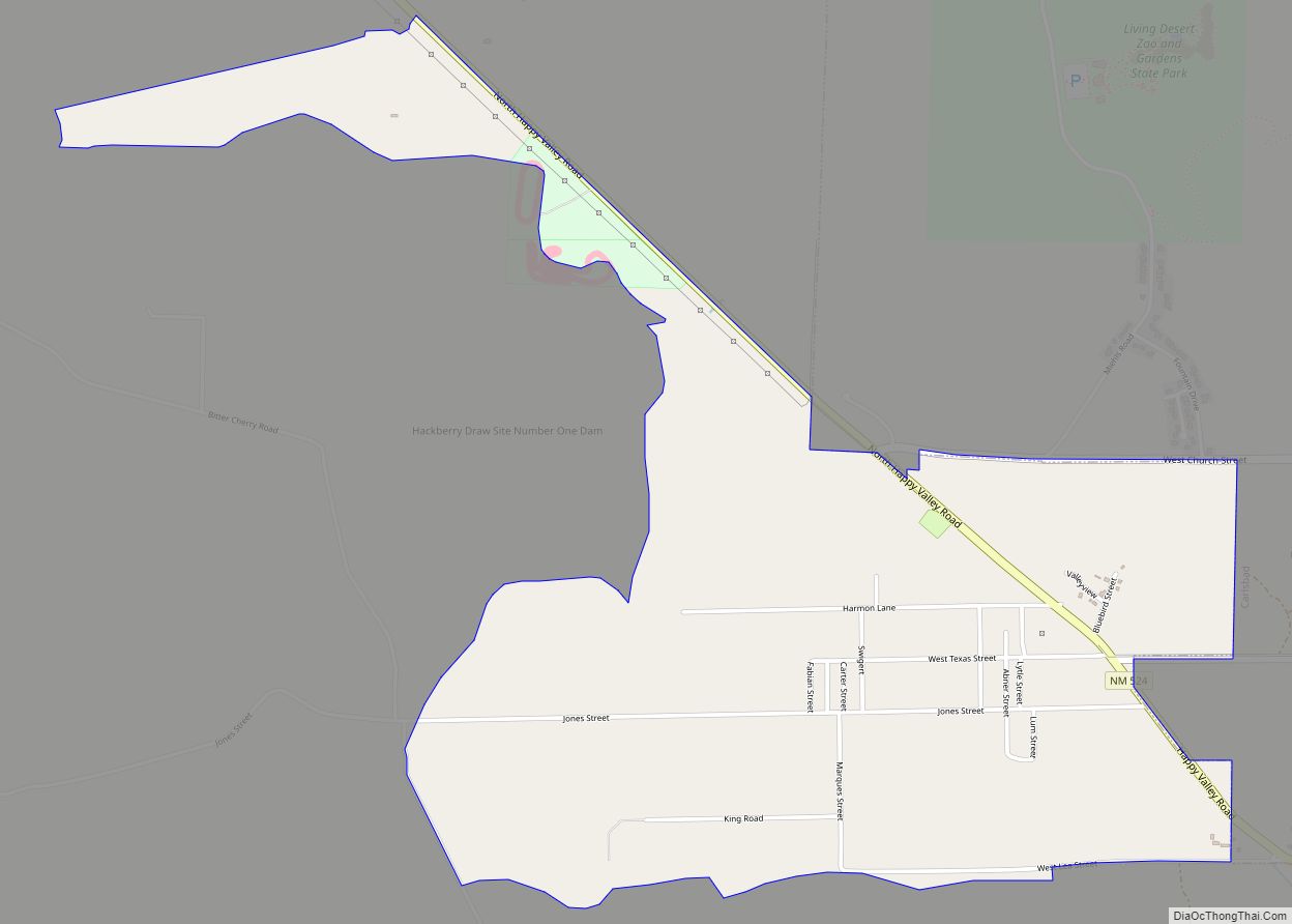
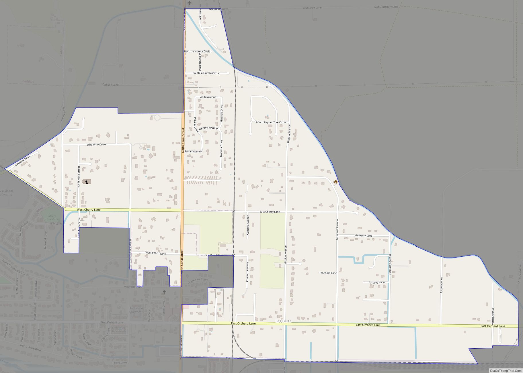
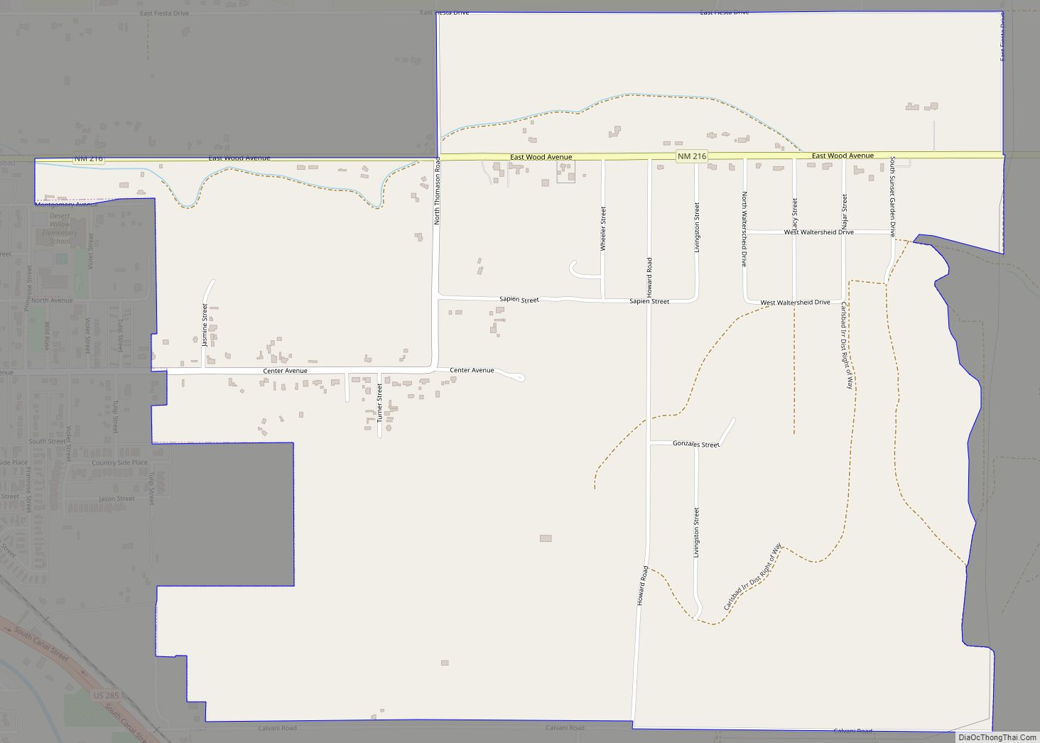
Online Interactive Map
Click on ![]() to view map in "full screen" mode.
to view map in "full screen" mode.
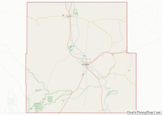
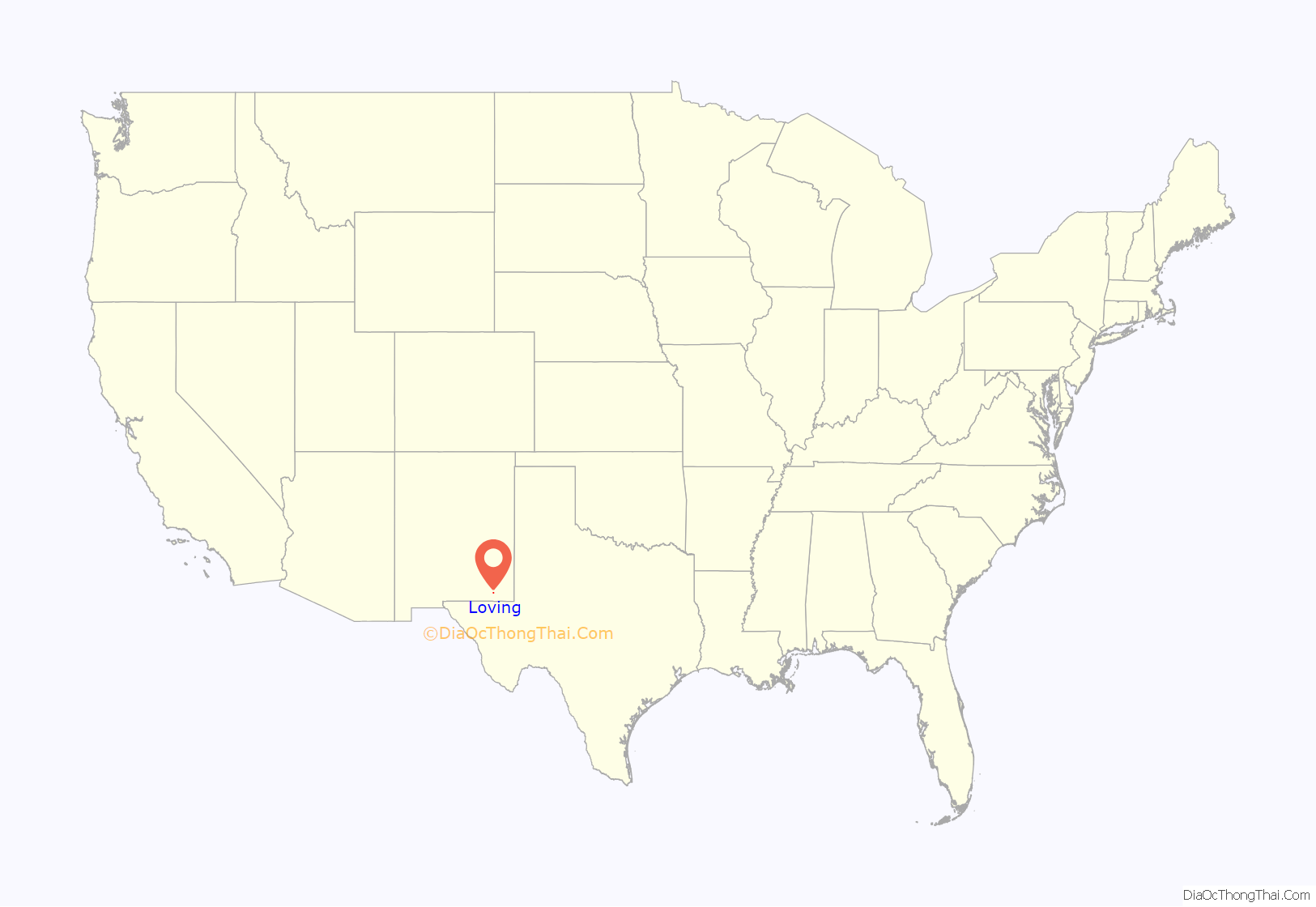
Loving location map. Where is Loving village?
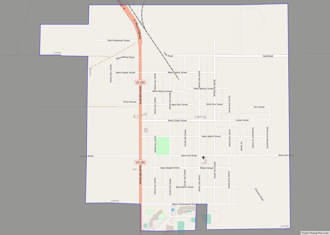
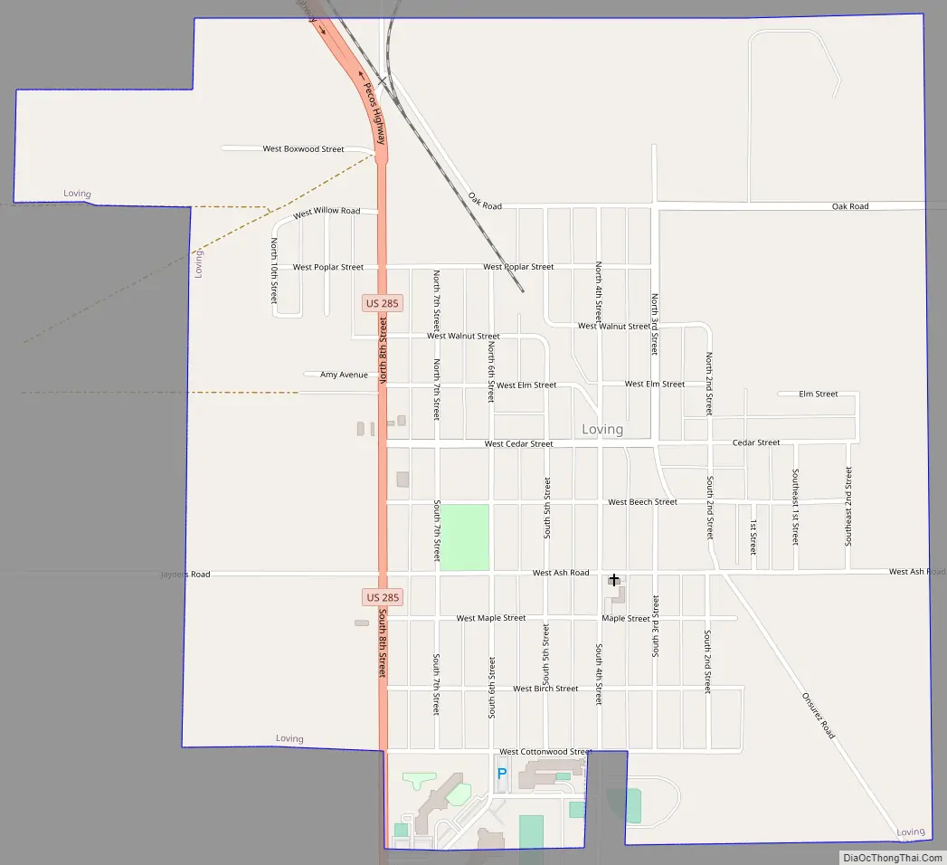
Loving Road Map
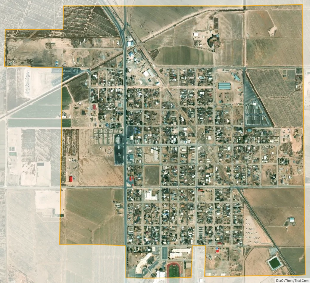
Loving city Satellite Map
Geography
Loving is located in southeastern Eddy County. U.S. Route 285 passes through the west side of the village, leading northwest 12 miles (19 km) to Carlsbad, the county seat, and southeast 74 miles (119 km) to Pecos, Texas. The Pecos River flows southwards 4 miles (6 km) east of Loving.
According to the United States Census Bureau, the village has a total area of 1.2 square miles (3.0 km), all land.
See also
Map of New Mexico State and its subdivision: Map of other states:- Alabama
- Alaska
- Arizona
- Arkansas
- California
- Colorado
- Connecticut
- Delaware
- District of Columbia
- Florida
- Georgia
- Hawaii
- Idaho
- Illinois
- Indiana
- Iowa
- Kansas
- Kentucky
- Louisiana
- Maine
- Maryland
- Massachusetts
- Michigan
- Minnesota
- Mississippi
- Missouri
- Montana
- Nebraska
- Nevada
- New Hampshire
- New Jersey
- New Mexico
- New York
- North Carolina
- North Dakota
- Ohio
- Oklahoma
- Oregon
- Pennsylvania
- Rhode Island
- South Carolina
- South Dakota
- Tennessee
- Texas
- Utah
- Vermont
- Virginia
- Washington
- West Virginia
- Wisconsin
- Wyoming