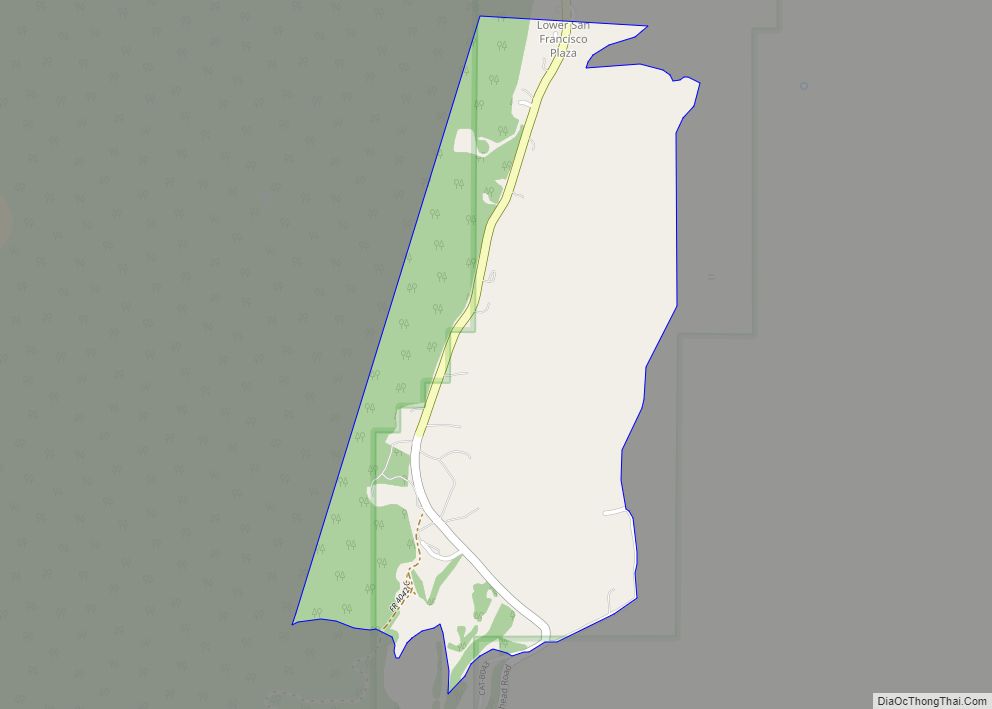
Luna is a census-designated place in northwestern Catron County, New Mexico, United States. As of the 2010 census it had a population of 158. It is situated on the San Francisco River and U.S. Route 180, 7 miles (11 km) east of the Arizona border and 20 miles (32 km) northwest of Reserve, the Catron county seat.
| Name: | Luna CDP |
|---|---|
| LSAD Code: | 57 |
| LSAD Description: | CDP (suffix) |
| State: | New Mexico |
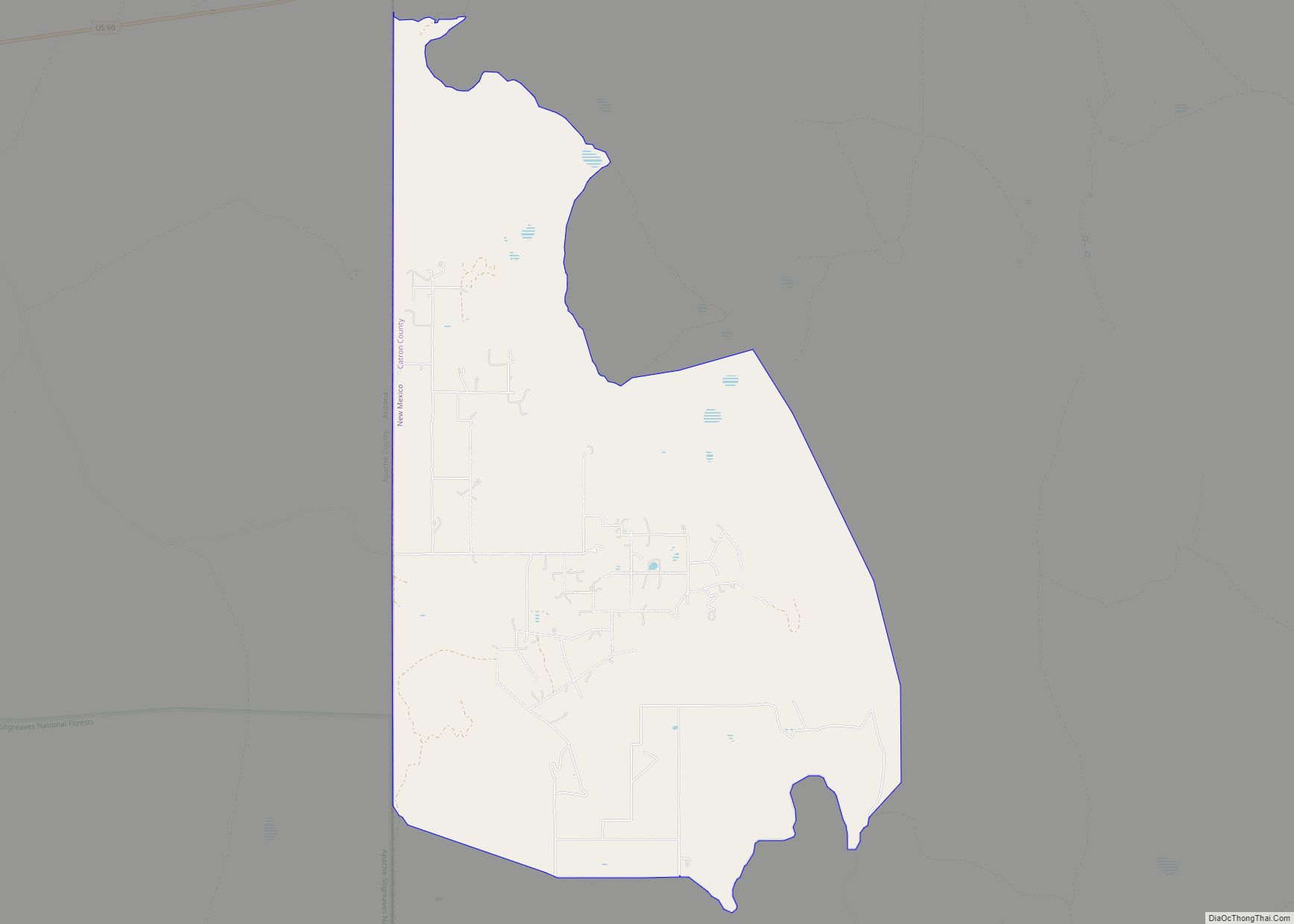
| County: | Catron County |
| Elevation: | 7,041 ft (2,146 m) |
| Total Area: | 5.57 sq mi (14.42 km²) |
| Land Area: | 5.56 sq mi (14.40 km²) |
| Water Area: | 0.01 sq mi (0.02 km²) |
| Total Population: | 194 |
| Population Density: | 34.90/sq mi (13.47/km²) |
| Area code: | 575 |
| FIPS code: | 3545330 |
| GNISfeature ID: | 908319 |
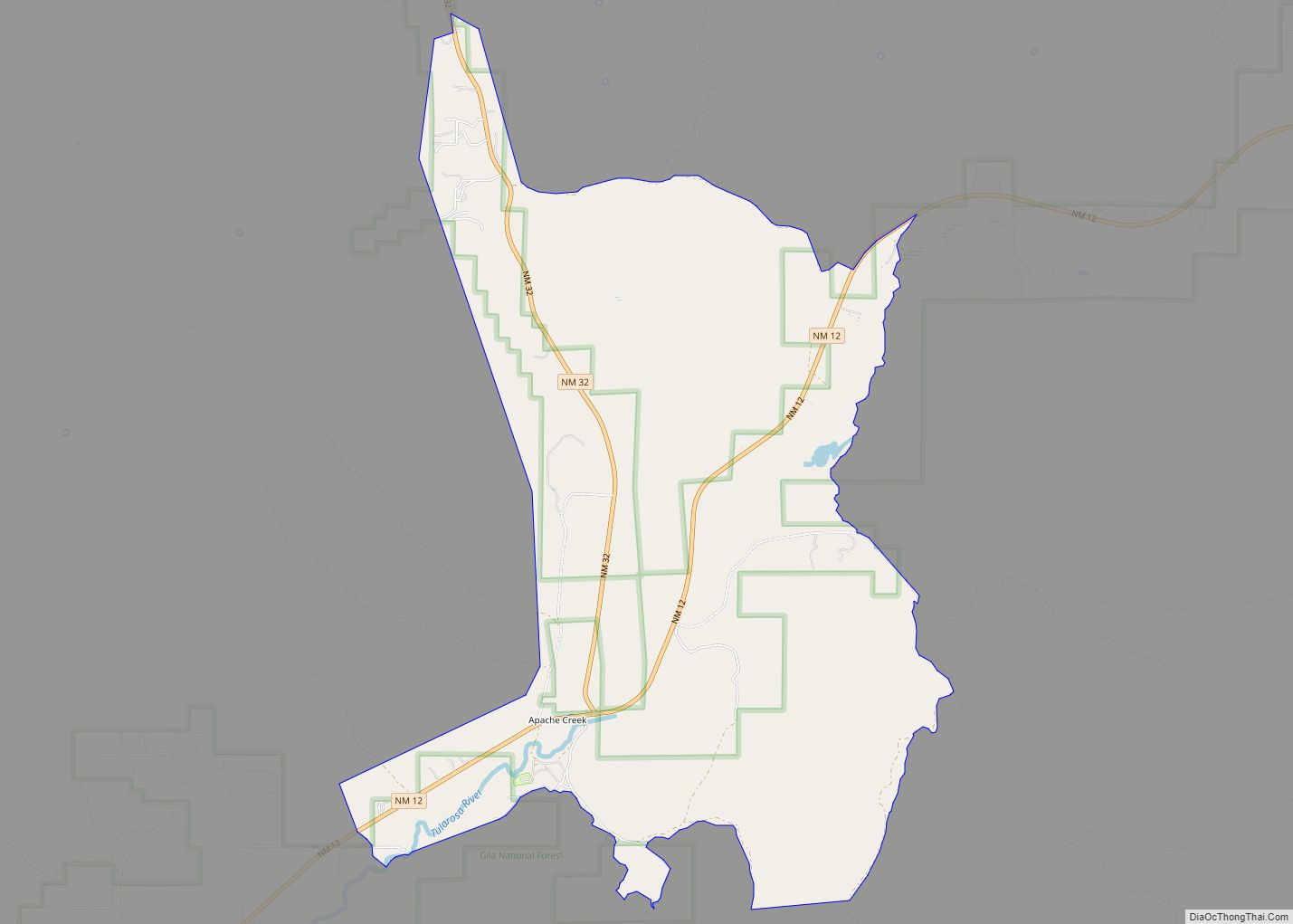
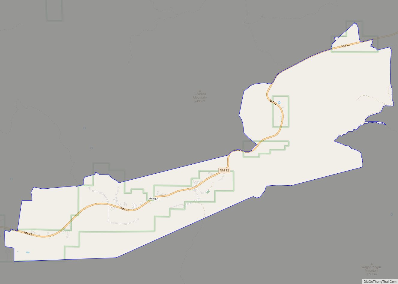
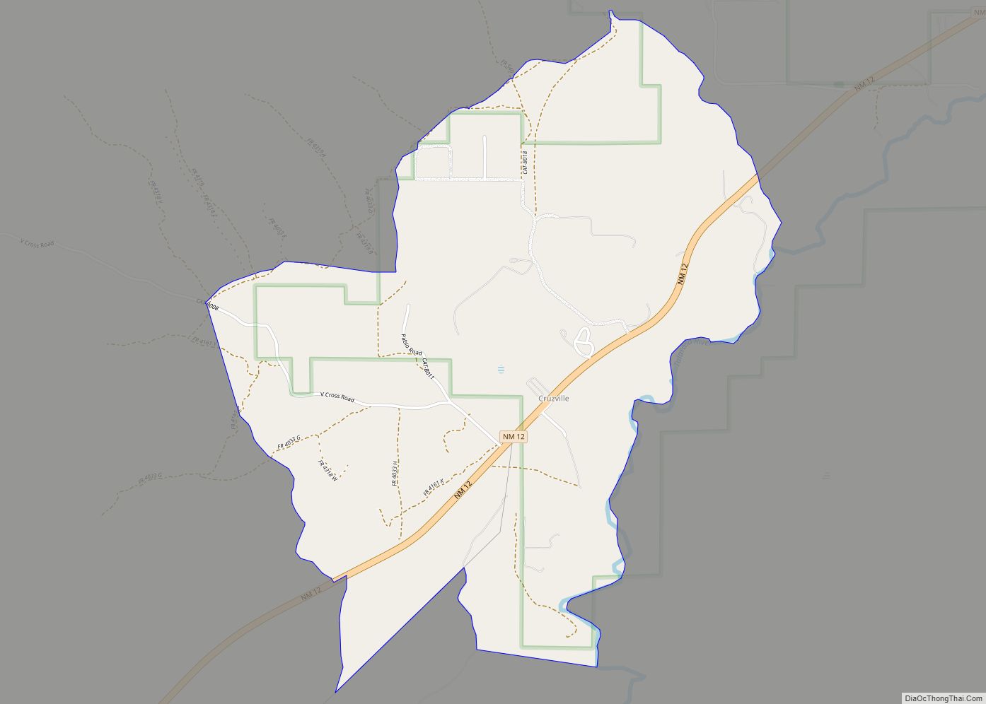
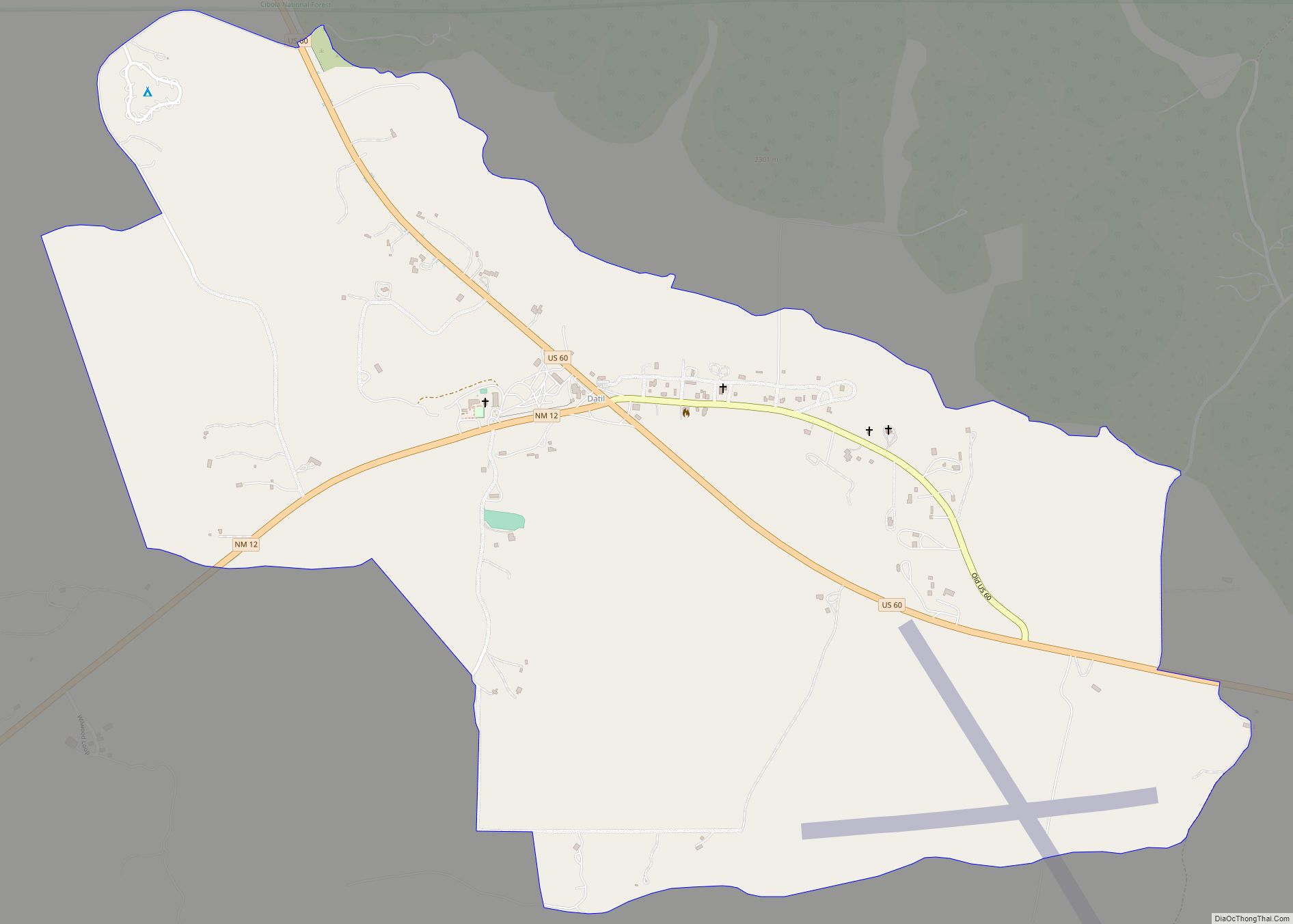
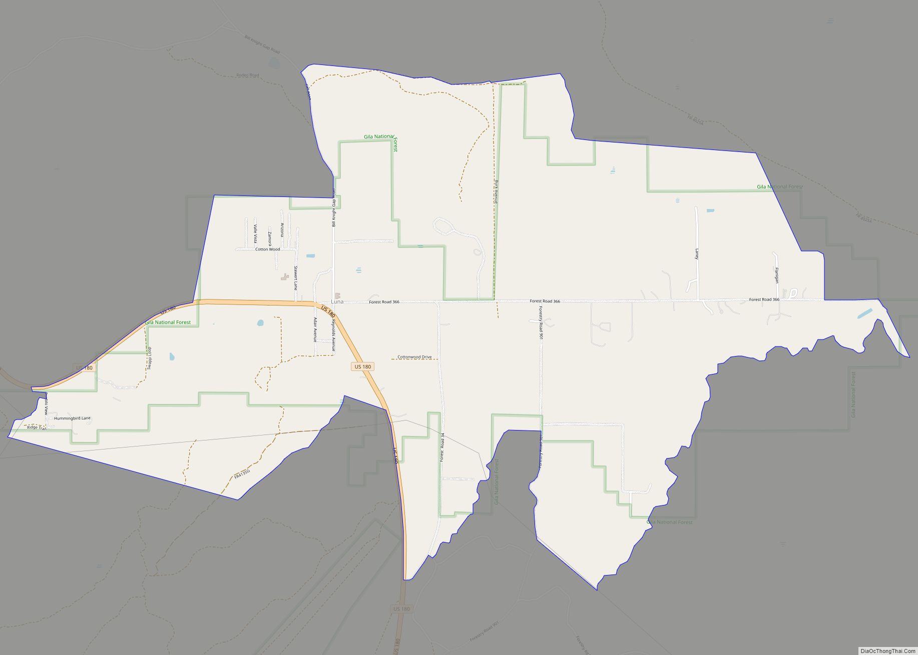
Online Interactive Map
Click on ![]() to view map in "full screen" mode.
to view map in "full screen" mode.
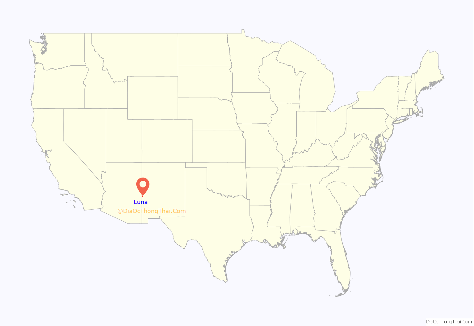
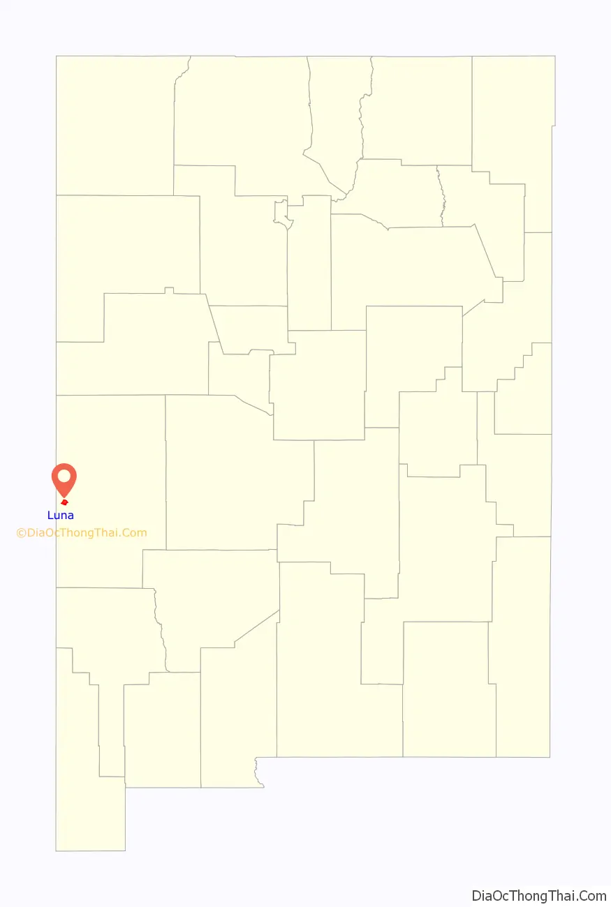
Luna location map. Where is Luna CDP?
History
In the 19th century Luna was part of the extensive lands of Don Salomon Luna, and the valley was used for sheep ranching. It briefly was an outlaw hide-away, but was settled by Mormon ranchers in 1883 and subject to Chiricahua Apache attacks until the surrender of Geronimo. The town was named after Don Salomon Luna.
The post office was opened in 1886;
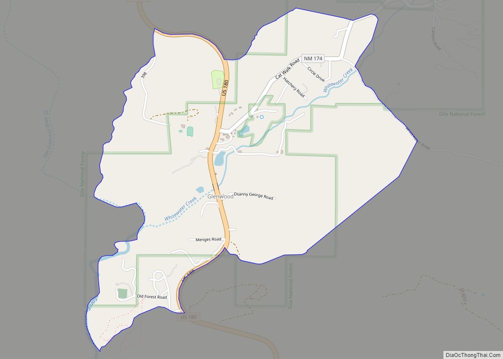
Luna Road Map
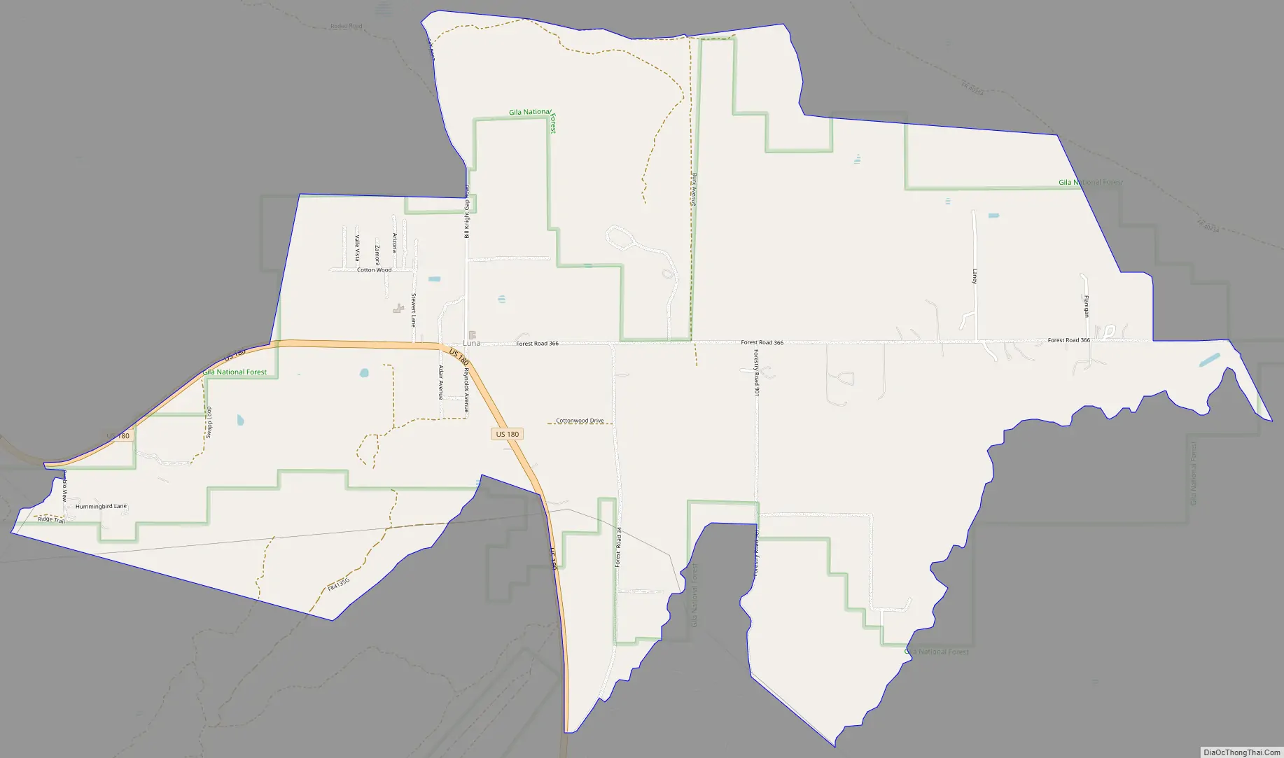
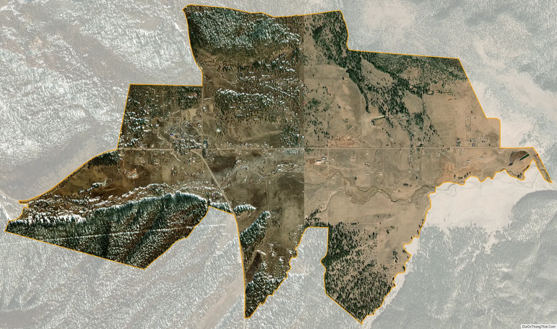
Luna city Satellite Map
See also
Map of New Mexico State and its subdivision: Map of other states:- Alabama
- Alaska
- Arizona
- Arkansas
- California
- Colorado
- Connecticut
- Delaware
- District of Columbia
- Florida
- Georgia
- Hawaii
- Idaho
- Illinois
- Indiana
- Iowa
- Kansas
- Kentucky
- Louisiana
- Maine
- Maryland
- Massachusetts
- Michigan
- Minnesota
- Mississippi
- Missouri
- Montana
- Nebraska
- Nevada
- New Hampshire
- New Jersey
- New Mexico
- New York
- North Carolina
- North Dakota
- Ohio
- Oklahoma
- Oregon
- Pennsylvania
- Rhode Island
- South Carolina
- South Dakota
- Tennessee
- Texas
- Utah
- Vermont
- Virginia
- Washington
- West Virginia
- Wisconsin
- Wyoming