Madrid (/ˈmædrɪd/, Spanish: [maˈðɾið]) is a census-designated place (CDP) in Santa Fe County, New Mexico, United States. It is part of the Santa Fe, New Mexico Metropolitan Statistical Area. The population was 149 at the 2000 census and 204 in 2010. Today, Madrid has become an artists’ community with galleries lining New Mexico State Road 14 (the Turquoise Trail). It retains remnants of its history with the Mineshaft Tavern and the Coal Mine Museum.
| Name: | Madrid CDP |
|---|---|
| LSAD Code: | 57 |
| LSAD Description: | CDP (suffix) |
| State: | New Mexico |
| County: | Santa Fe County |
| Elevation: | 6,020 ft (1,835 m) |
| Total Area: | 1.39 sq mi (3.60 km²) |
| Land Area: | 1.39 sq mi (3.60 km²) |
| Water Area: | 0.00 sq mi (0.00 km²) |
| Total Population: | 247 |
| Population Density: | 177.70/sq mi (68.59/km²) |
| ZIP code: | 87010 |
| Area code: | 505 |
| FIPS code: | 3546100 |
| GNISfeature ID: | 0899746 |
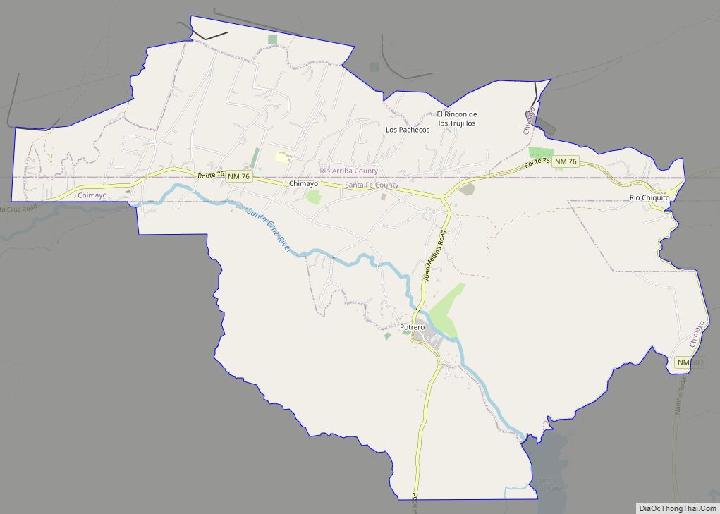
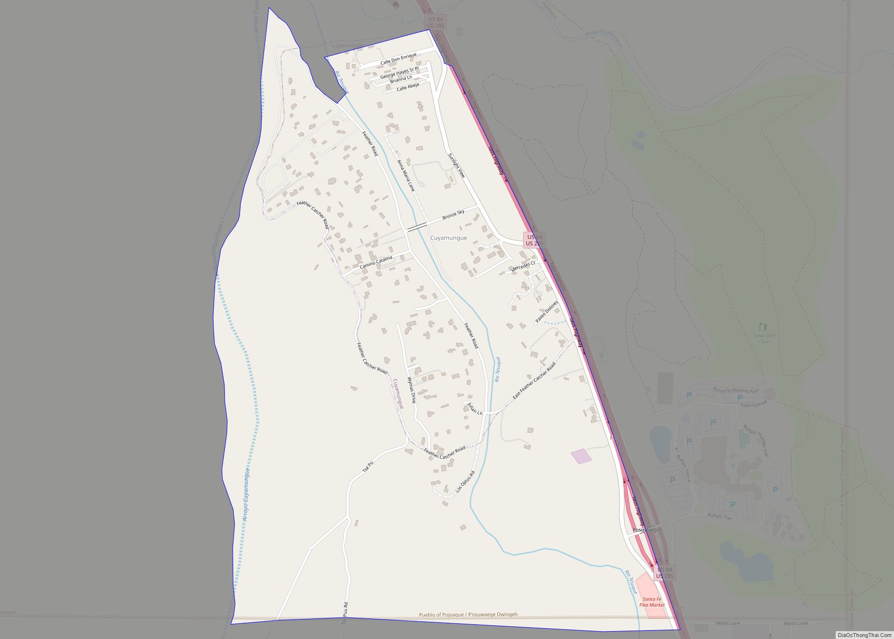
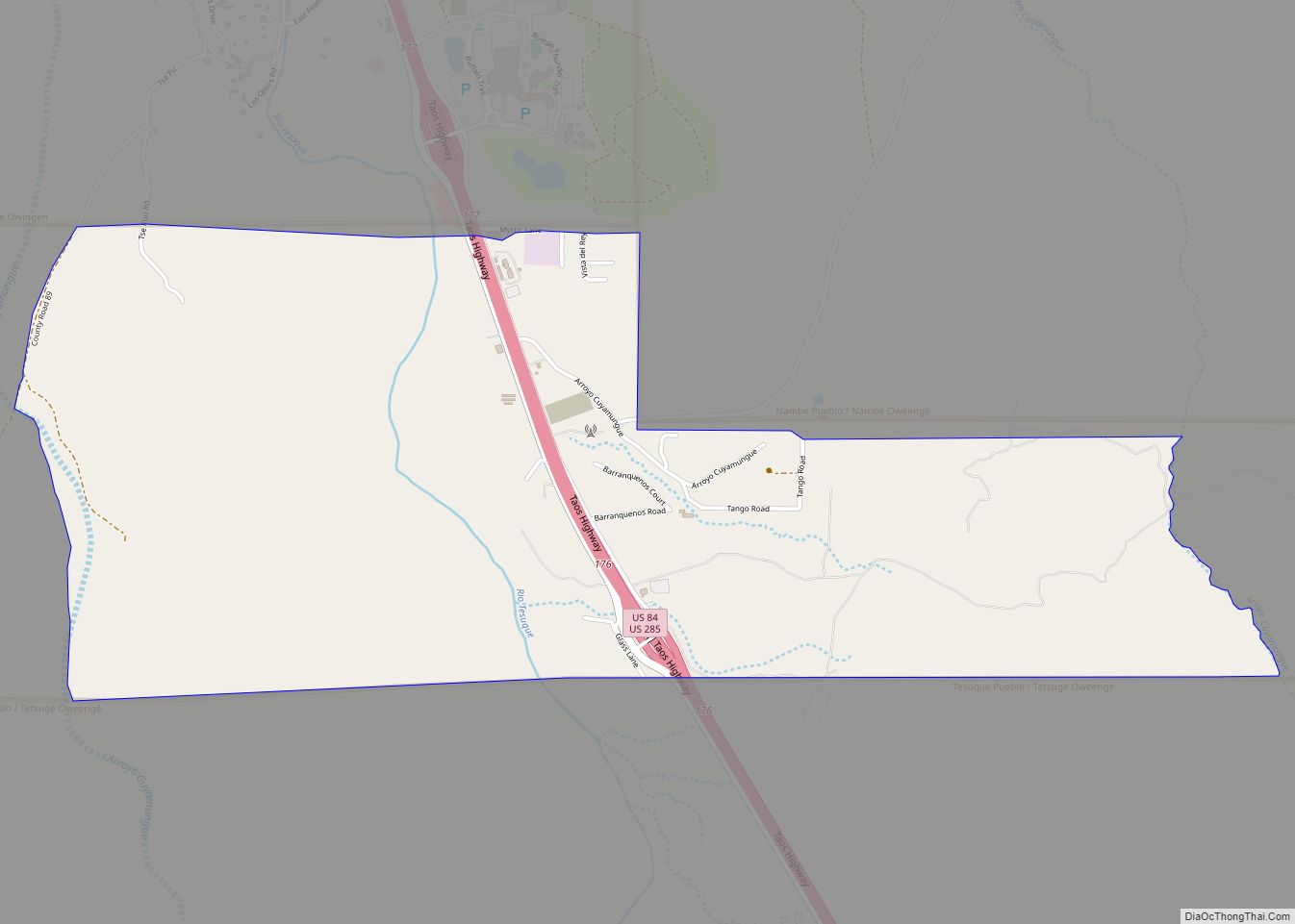
Online Interactive Map
Click on ![]() to view map in "full screen" mode.
to view map in "full screen" mode.
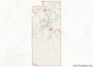
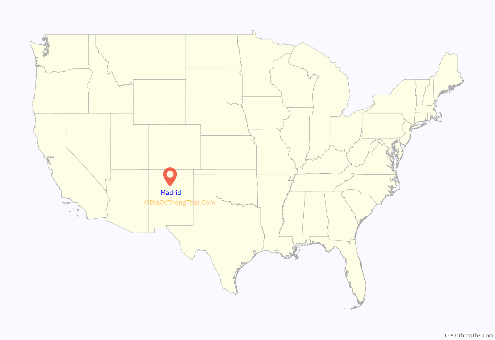
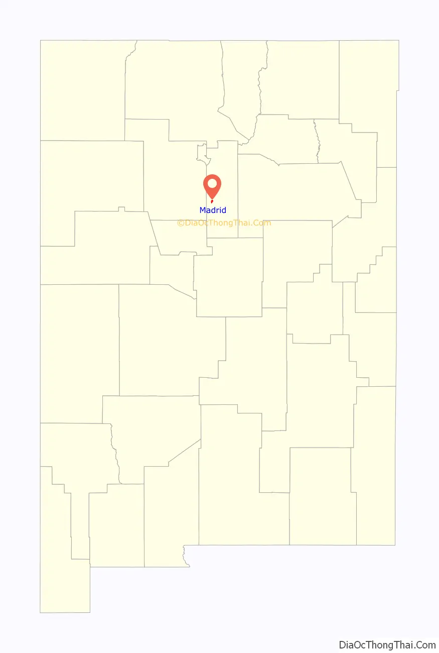
Madrid location map. Where is Madrid CDP?
History
Beginnings
Lead mines in the area around Madrid captured the interest of Roque Madrid in the 17th century. It is unclear whether the current name of the community comes from that of earlier residents or the capital of Spain. The dominant English pronunciation of the name differs from that of the Spanish capital, with emphasis on the first syllable: MAD-rid. Coal mining began in the area around 1835.
The coal deposits were called the Cerrillos Coal Bank following the arrival in early 1880 of the New Mexico & Southern Pacific Railroad (as the AT&SF in New Mexico was organized), named after the nearby mining and railroad town of Cerrillos Station. After a dozen years at the Coal Bank of wildcat, unpermitted, and unorganized mining the AT&SF acquired the property on December 10, 1891, and through purposefully-created subsidiaries solidified its control. The Cerrillos Coal & Iron Co. developed the layout for the town, mines, and facilities, and the Cerrillos Coal Railroad Co. built the 6.25 mi (10.06 km) standard gauge spur from the AT&SF main line at Waldo Junction.
In late August 1892, the spur finally terminated at the relatively new mining camp of Keeseeville (an illegal trespass settlement, however one whose 20-acre plat had been approved by Santa Fe County). At the site of Keeseeville, which the Cerrillos Coal Railroad co-opted, the town of Madrid was built. More accurately the Cerrillos Coal Railroad transported-in, section by section, prefabricated wooden miner’s cabins from as far away as Topeka, Kansas; there were insufficient carpenters and suppliers in the region to provide the instant infrastructure that was needed for the town.
Madrid celebrated its “founding” in 1895. Since the town was for the next 80 years wholly owned by a series of corporations, the town itself was never incorporated. In the late 1940s, the demand for coal withered: Natural gas gradually replaced coal as the preferred home-heating fuel, and the AT&SF was replacing its coal-fired steam locomotives with diesel-electrics. By 1954 the Albuquerque and Cerrillos Coal Company ceased to operate and most of the residents moved away. The railroad spur was removed shortly thereafter.
Madrid Miners semi-pro baseball team
The Miners were started by the Madrid Employees Club and won many pennants. The Oscar Huber Ballpark was the first lighted ballpark west of the Mississippi in the 1920s.
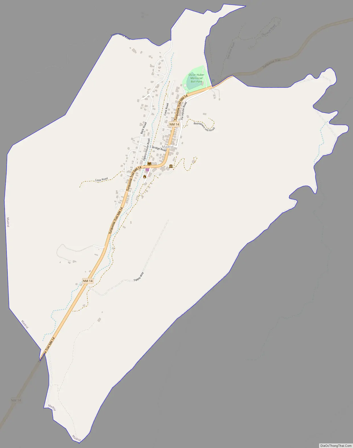
Madrid Road Map
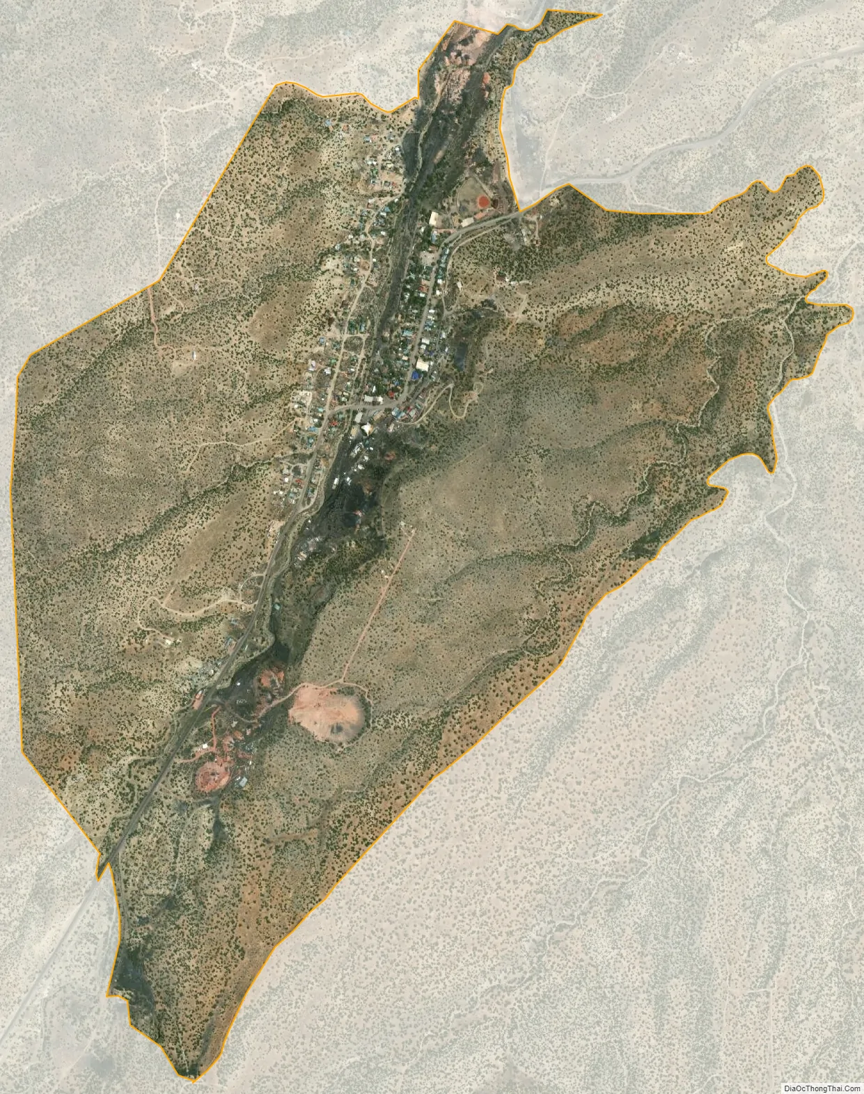
Madrid city Satellite Map
Geography
Madrid is located at 35°24′21″N 106°09′16″W / 35.405833°N 106.154498°W / 35.405833; -106.154498 (35.405833, -106.154498).
According to the United States Census Bureau, the CDP has a total area of 1.4 square miles (3.6 km), all land.
See also
Map of New Mexico State and its subdivision: Map of other states:- Alabama
- Alaska
- Arizona
- Arkansas
- California
- Colorado
- Connecticut
- Delaware
- District of Columbia
- Florida
- Georgia
- Hawaii
- Idaho
- Illinois
- Indiana
- Iowa
- Kansas
- Kentucky
- Louisiana
- Maine
- Maryland
- Massachusetts
- Michigan
- Minnesota
- Mississippi
- Missouri
- Montana
- Nebraska
- Nevada
- New Hampshire
- New Jersey
- New Mexico
- New York
- North Carolina
- North Dakota
- Ohio
- Oklahoma
- Oregon
- Pennsylvania
- Rhode Island
- South Carolina
- South Dakota
- Tennessee
- Texas
- Utah
- Vermont
- Virginia
- Washington
- West Virginia
- Wisconsin
- Wyoming