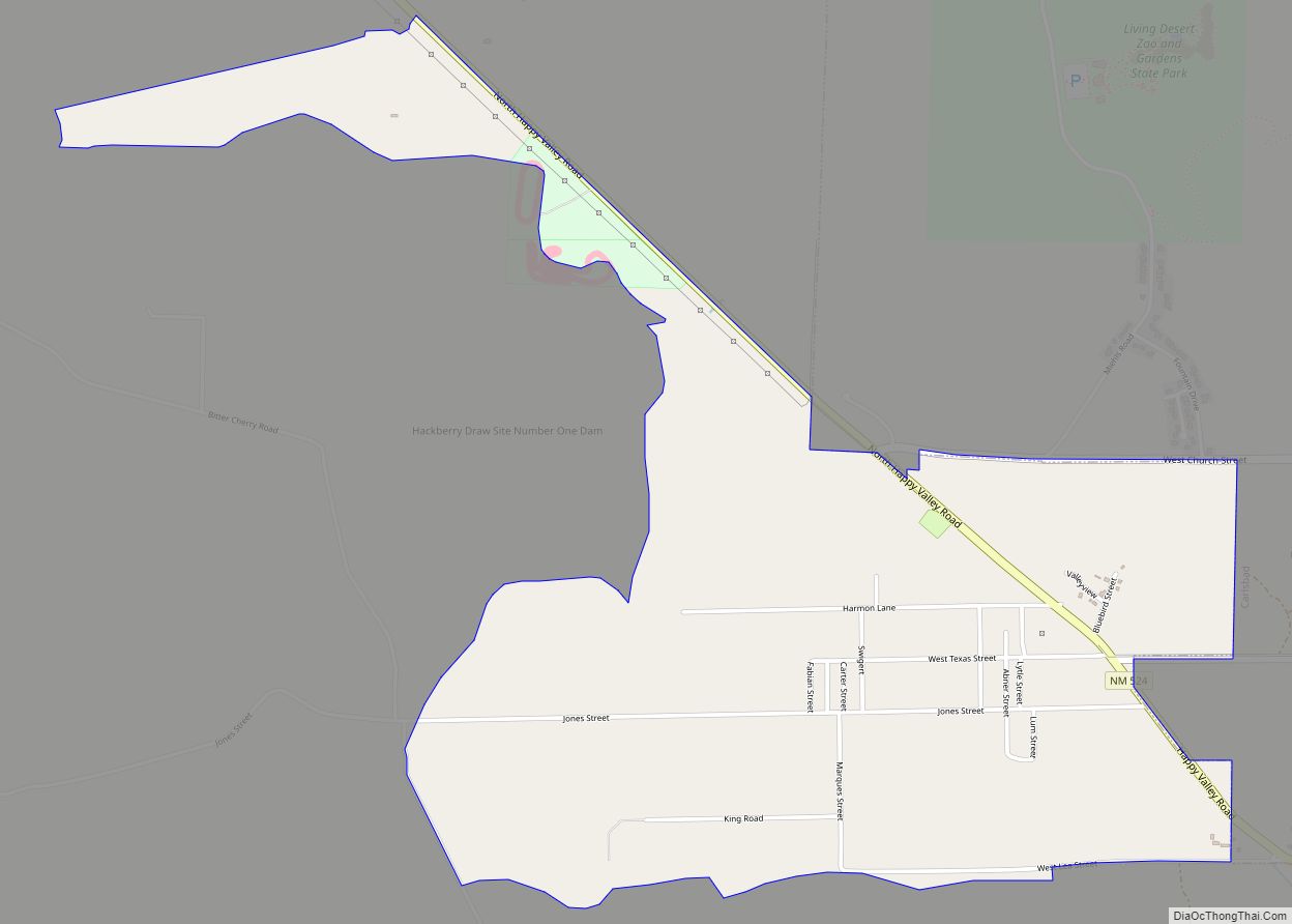
Malaga is a census-designated place and unincorporated community in Eddy County, New Mexico, United States. Its population was 147 as of the 2010 census. Malaga has a post office with ZIP code 88263. U.S. Route 285 passes through the community. Formerly known as Kirkwell, Malaga was founded in the 1890s by Swiss immigrants and was named after the Spanish city of Málaga. Italian laborers were recruited to farm the area, and many settled in Malaga.
It is within the Carlsbad Municipal School District, which operates Carlsbad High School.
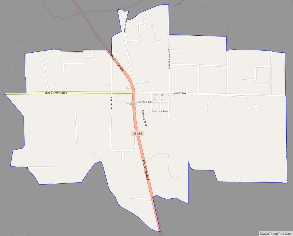
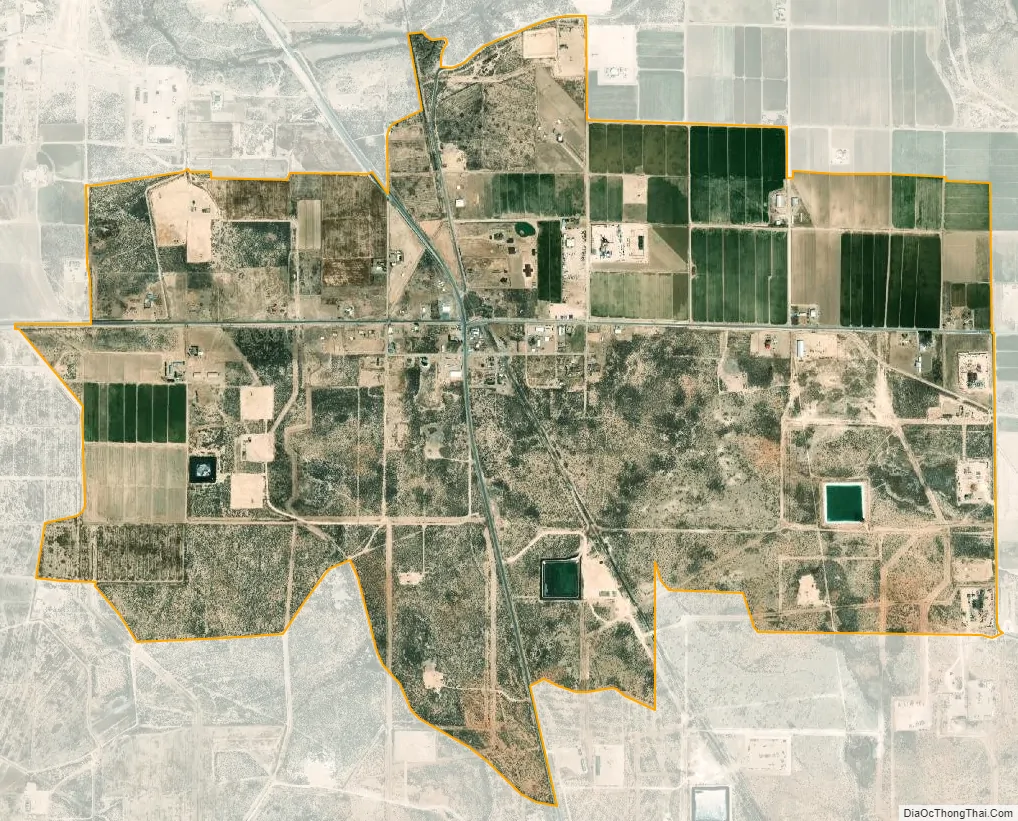
Malaga is on the Pecos Highway approximately 18 miles southeast of Carlsbad. The Pecos River flows past two miles east of the community.
| Name: | Malaga CDP |
|---|---|
| LSAD Code: | 57 |
| LSAD Description: | CDP (suffix) |
| State: | New Mexico |
| County: | Eddy County |
| Elevation: | 3,002 ft (915 m) |
| Total Area: | 2.97 sq mi (7.70 km²) |
| Land Area: | 2.97 sq mi (7.70 km²) |
| Water Area: | 0.00 sq mi (0.00 km²) |
| Total Population: | 112 |
| Population Density: | 37.70/sq mi (14.55/km²) |
| ZIP code: | 88263 |
| Area code: | 575 |
| FIPS code: | 3546380 |
| GNISfeature ID: | 2584152 |
Online Interactive Map
Click on ![]() to view map in "full screen" mode.
to view map in "full screen" mode.
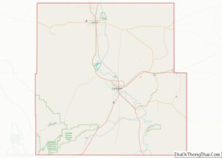
Malaga location map. Where is Malaga CDP?
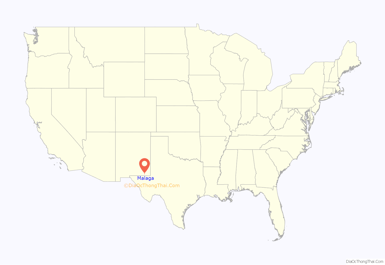
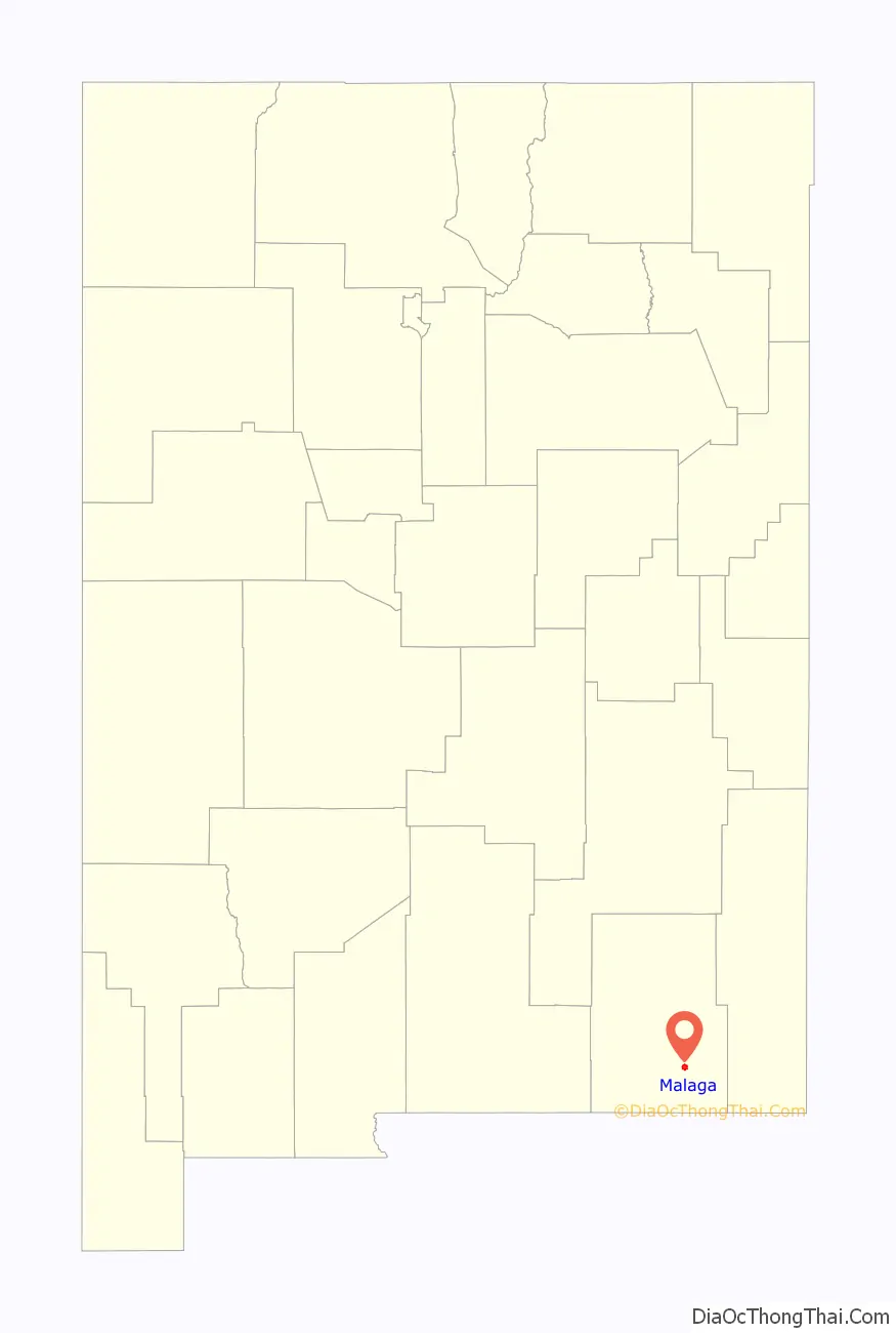
Malaga Road Map
Malaga city Satellite Map
See also
Map of New Mexico State and its subdivision: Map of other states:- Alabama
- Alaska
- Arizona
- Arkansas
- California
- Colorado
- Connecticut
- Delaware
- District of Columbia
- Florida
- Georgia
- Hawaii
- Idaho
- Illinois
- Indiana
- Iowa
- Kansas
- Kentucky
- Louisiana
- Maine
- Maryland
- Massachusetts
- Michigan
- Minnesota
- Mississippi
- Missouri
- Montana
- Nebraska
- Nevada
- New Hampshire
- New Jersey
- New Mexico
- New York
- North Carolina
- North Dakota
- Ohio
- Oklahoma
- Oregon
- Pennsylvania
- Rhode Island
- South Carolina
- South Dakota
- Tennessee
- Texas
- Utah
- Vermont
- Virginia
- Washington
- West Virginia
- Wisconsin
- Wyoming