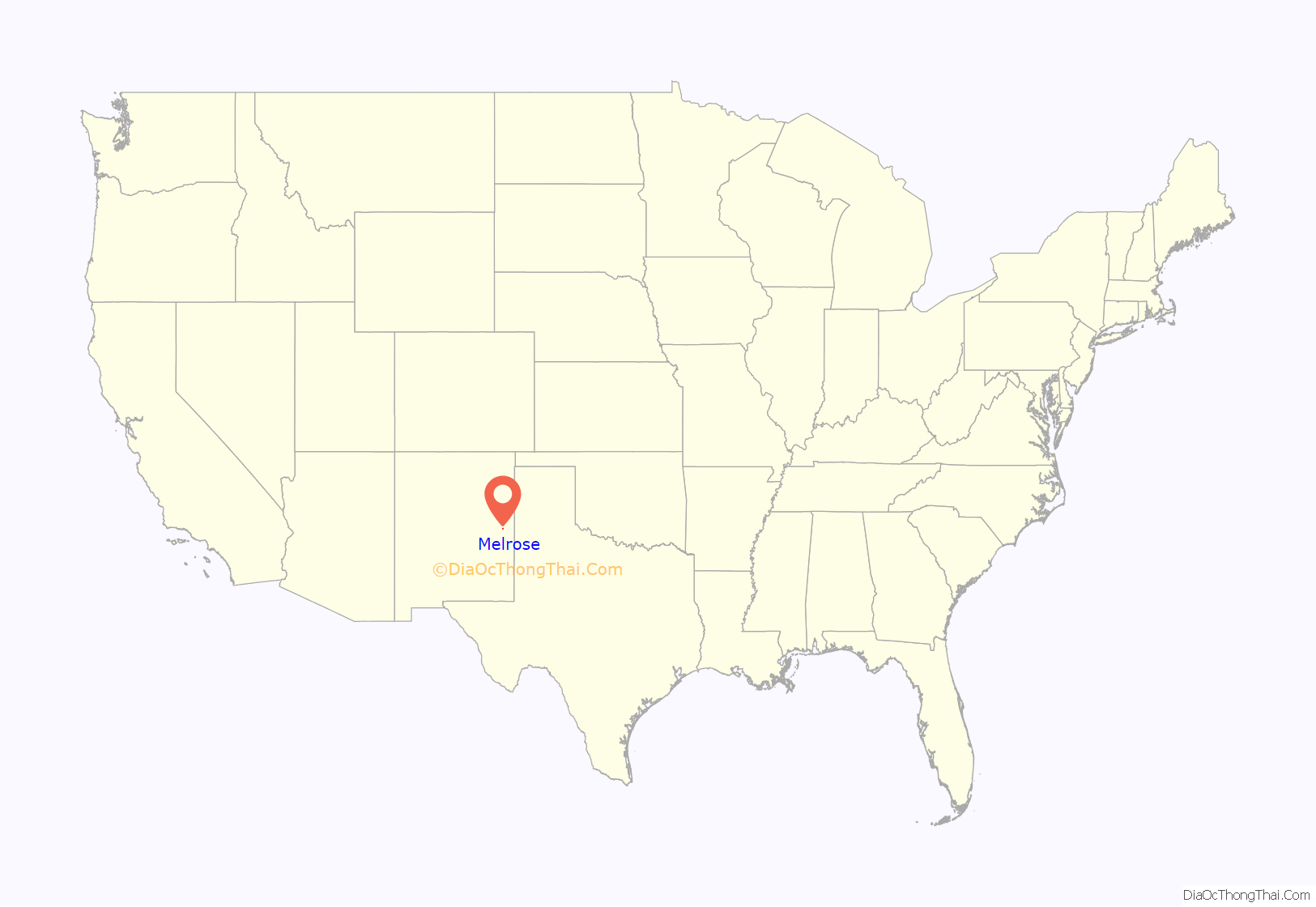
Melrose is a village in Curry County, New Mexico, United States. Its population was 651 at the 2010 census. The town is losing population due to rural exodus. Melrose is served by Melrose Elementary School and Melrose High School.
William Hanna (1910–2001), co-founder of Hanna Barbera Studios, was born in Melrose.
| Name: | Melrose village |
|---|---|
| LSAD Code: | 47 |
| LSAD Description: | village (suffix) |
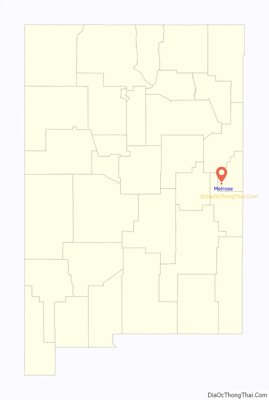
| State: | New Mexico |
| County: | Curry County |
| Elevation: | 4,413 ft (1,345 m) |
| Total Area: | 1.69 sq mi (4.38 km²) |
| Land Area: | 1.69 sq mi (4.38 km²) |
| Water Area: | 0.00 sq mi (0.00 km²) |
| Total Population: | 622 |
| Population Density: | 368.05/sq mi (142.09/km²) |
| ZIP code: | 88124 |
| Area code: | 575 |
| FIPS code: | 3547570 |
| GNISfeature ID: | 0915864 |
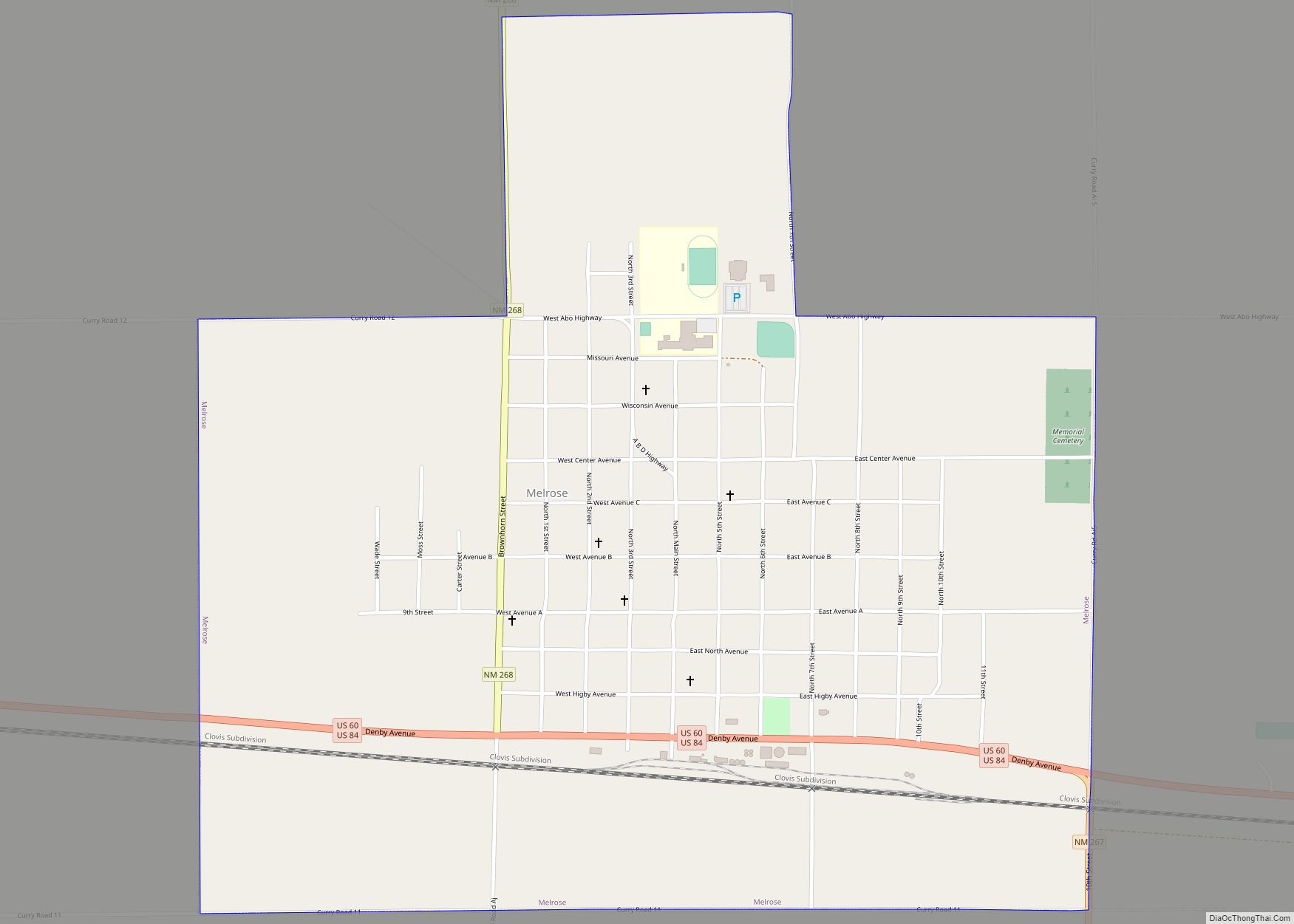
Online Interactive Map
Click on ![]() to view map in "full screen" mode.
to view map in "full screen" mode.
Melrose location map. Where is Melrose village?
History
During the New Deal, a series of federal programs was initiated during the Great Depression, and the Melrose Art Center was established. The facility was considered to be located in the smallest town to have such a federal art center. Estella García was one of the teachers at the Center.
Melrose Road Map
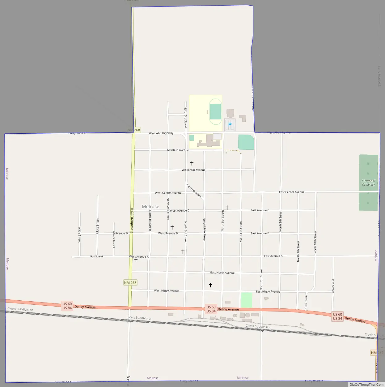
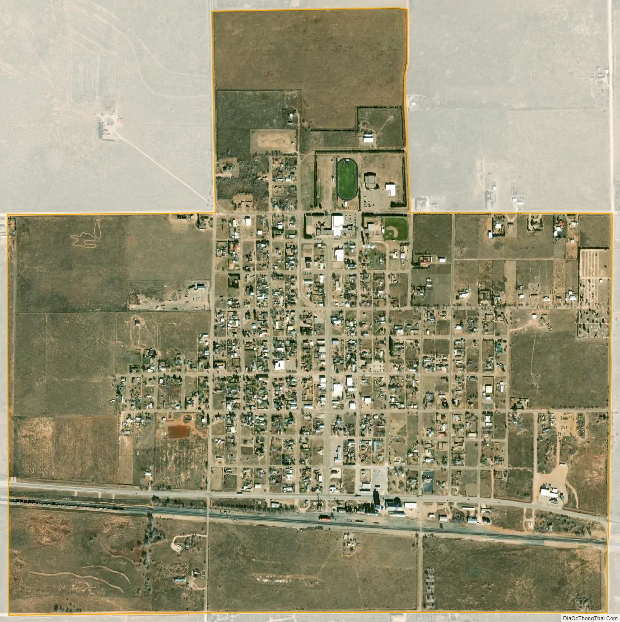
Melrose city Satellite Map
Geography
Melrose is located at 34°25′41″N 103°37′41″W / 34.42806°N 103.62806°W / 34.42806; -103.62806 (34.427944, -103.628111).
According to the United States Census Bureau, the village has a total area of 1.7 square miles (4.4 km), all land.
See also
Map of New Mexico State and its subdivision: Map of other states:- Alabama
- Alaska
- Arizona
- Arkansas
- California
- Colorado
- Connecticut
- Delaware
- District of Columbia
- Florida
- Georgia
- Hawaii
- Idaho
- Illinois
- Indiana
- Iowa
- Kansas
- Kentucky
- Louisiana
- Maine
- Maryland
- Massachusetts
- Michigan
- Minnesota
- Mississippi
- Missouri
- Montana
- Nebraska
- Nevada
- New Hampshire
- New Jersey
- New Mexico
- New York
- North Carolina
- North Dakota
- Ohio
- Oklahoma
- Oregon
- Pennsylvania
- Rhode Island
- South Carolina
- South Dakota
- Tennessee
- Texas
- Utah
- Vermont
- Virginia
- Washington
- West Virginia
- Wisconsin
- Wyoming