Mesilla (also known as La Mesilla and Old Mesilla) is a town in Doña Ana County, New Mexico, United States. The population was 2,196 at the 2010 census. It is part of the Las Cruces Metropolitan Statistical Area.
During the Civil War, Mesilla briefly served as capital of the Confederate Territory of Arizona.
The Mesilla Plaza is a National Historic Landmark.
| Name: | Mesilla town |
|---|---|
| LSAD Code: | 43 |
| LSAD Description: | town (suffix) |
| State: | New Mexico |
| County: | Doña Ana County |
| Elevation: | 3,881 ft (1,183 m) |
| Total Area: | 5.68 sq mi (14.71 km²) |
| Land Area: | 5.68 sq mi (14.71 km²) |
| Water Area: | 0.00 sq mi (0.00 km²) |
| Total Population: | 1,797 |
| Population Density: | 316.43/sq mi (122.18/km²) |
| ZIP code: | 88046 |
| Area code: | 575 |
| FIPS code: | 3548060 |
| GNISfeature ID: | 920645 |
| Website: | mesillanm.gov |
Online Interactive Map
Click on ![]() to view map in "full screen" mode.
to view map in "full screen" mode.
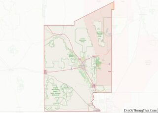
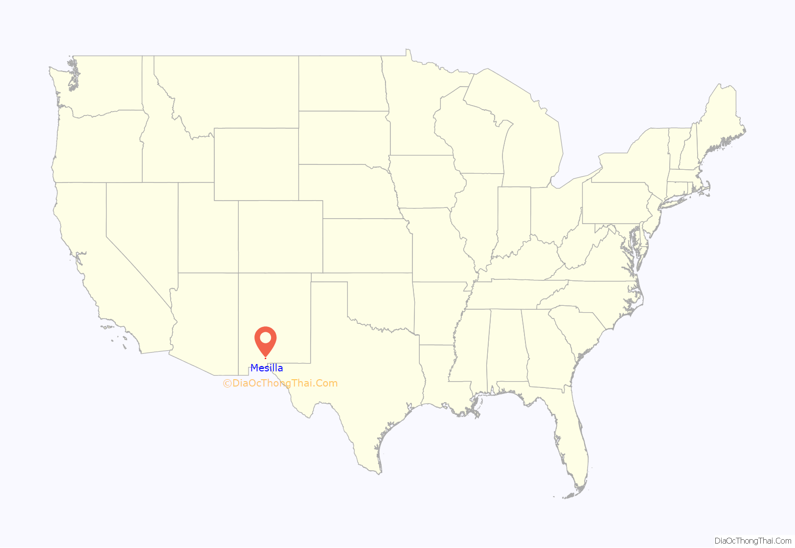
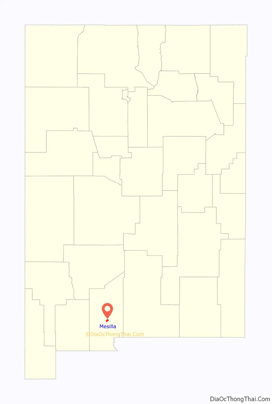
Mesilla location map. Where is Mesilla town?
History
The village of Mesilla was incorporated in 1848, after the Treaty of Guadalupe Hidalgo moved the U.S.–Mexico border south of the village of Doña Ana, placing it in the United States. A small group of citizens, unhappy at being part of the United States, decided to move south of the border. They settled in Mesilla at this time.
By 1850, Mesilla was an established colony. By this time, its people were under constant threat of attack from the Apache. By 1851, the attacks caused the United States to take action to protect its people just to the north of the border, in the Mesilla Valley. They did this by creating Fort Fillmore. As a result of the fort, the United States declared the Mesilla Valley region part of the United States. Mexico also claimed this strip of land, causing it to become known as “No Mans Land”. This boundary dispute, which was officially caused by a map error, was resolved in 1853 with the Gadsden Purchase. Mesilla became a part of the United States, as well as the southern part of New Mexico and Arizona.
Two battles were fought at or in the town during the Civil War. Mesilla served as the capital of the Confederate Territory of Arizona in 1861–1862 and was known as the “hub”, or main city for the entire region. Recaptured by the Volunteers of the California Column, it then became the headquarters of the Military District of Arizona until 1864.
During the “Wild West” era, Mesilla was known for its cantinas and festivals. The area attracted such figures as Billy the Kid, Pat Garrett and Pancho Villa. The village was also the crossroads of two major stagecoach, mail, and trade routes: the Butterfield Stagecoach and the Camino Real de Tierra Adentro. The village of Mesilla was the most important city of the region until 1881.
In 1881, the Santa Fe Railway was ready to build through the Gadsden Purchase region of the country. Mesilla was naturally seen as the city the railroad would run through. However, the people of Mesilla asked for too much money for the land rights, and a landowner in nearby Las Cruces, a much smaller village than Mesilla, stepped in and offered free land. The city of Mesilla has not grown much since, and Las Cruces has grown to a population of an estimated 101,000 people (2014) and is currently the second largest city in New Mexico.
La Mesilla Historic District, which includes Mesilla Plaza, was declared a National Historic Landmark in 1961.
The Fountain Theatre, except for 12 years, has been in operation since the early 1900s.
In 2008, the Roman Catholic parish church of San Albino was raised to the status of minor basilica by the Holy See.
The gazebo in the center of the plaza was torn down and rebuilt due to unnoticed structural problems that made the gazebo unsafe. Demolition started in October 2013 and rebuilding ending in May 2014 for the annual “Cinco de Mayo” celebration.
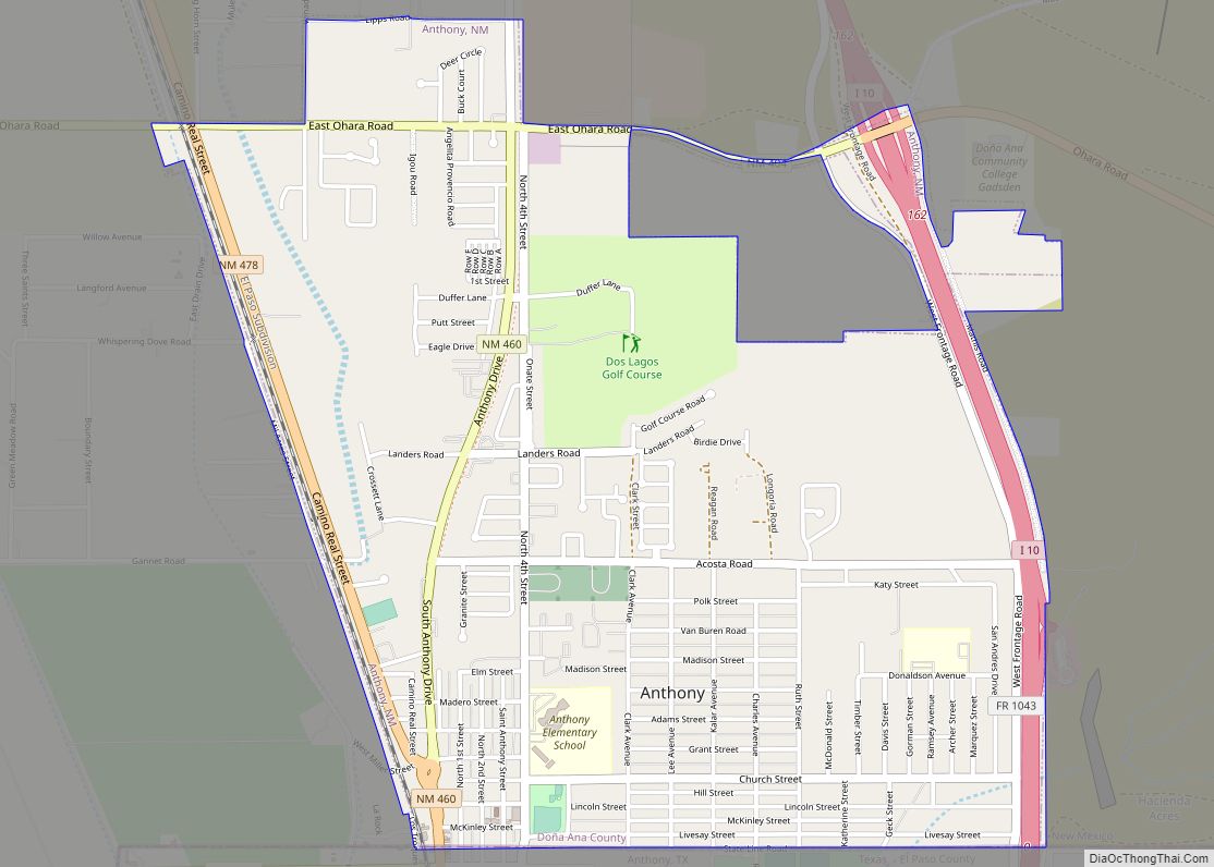
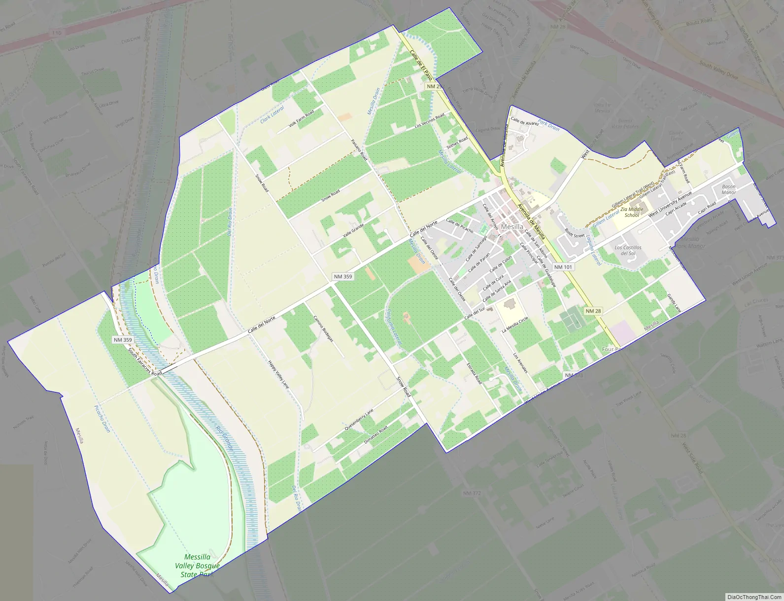
Mesilla Road Map
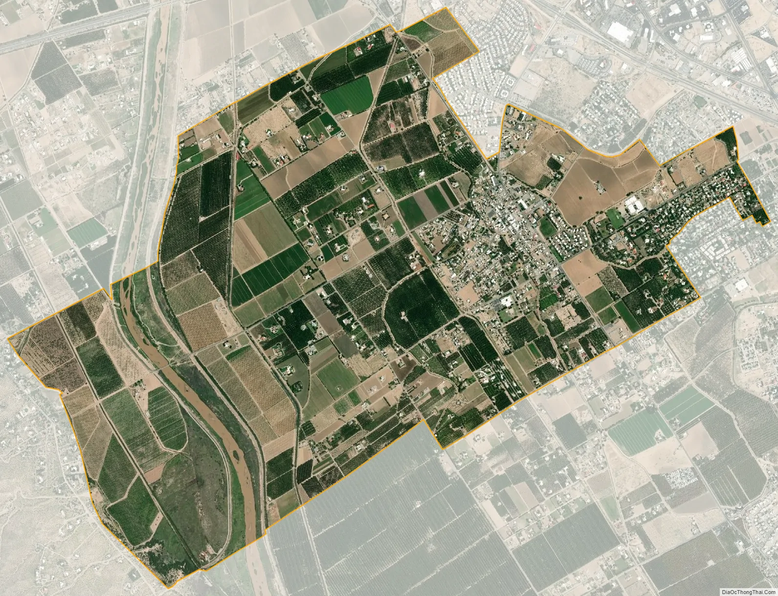
Mesilla city Satellite Map
Geography
Mesilla is located near the geographic center of Doña Ana County at 32°16′22″N 106°48′3″W / 32.27278°N 106.80083°W / 32.27278; -106.80083 (32.272776, -106.800965). It is bordered to the northeast by the city of Las Cruces. According to the United States Census Bureau, the town has a total area of 6.7 square miles (17.4 km), all land. The Rio Grande passes through the western part of the town.
See also
Map of New Mexico State and its subdivision: Map of other states:- Alabama
- Alaska
- Arizona
- Arkansas
- California
- Colorado
- Connecticut
- Delaware
- District of Columbia
- Florida
- Georgia
- Hawaii
- Idaho
- Illinois
- Indiana
- Iowa
- Kansas
- Kentucky
- Louisiana
- Maine
- Maryland
- Massachusetts
- Michigan
- Minnesota
- Mississippi
- Missouri
- Montana
- Nebraska
- Nevada
- New Hampshire
- New Jersey
- New Mexico
- New York
- North Carolina
- North Dakota
- Ohio
- Oklahoma
- Oregon
- Pennsylvania
- Rhode Island
- South Carolina
- South Dakota
- Tennessee
- Texas
- Utah
- Vermont
- Virginia
- Washington
- West Virginia
- Wisconsin
- Wyoming