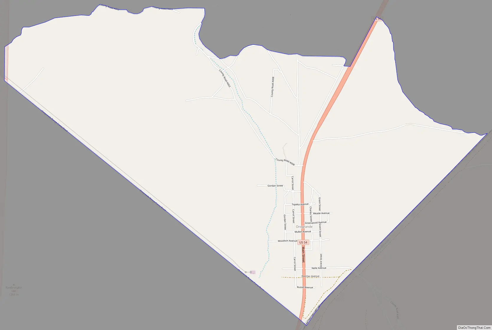
Orogrande is an unincorporated community in Otero County, New Mexico, United States, located at a latitude of 32.37111 and a longitude of -106.08389 in the Jarilla Mountains of the Tularosa Basin on U.S. 54 between El Paso, Texas and Alamogordo. Originally a mining town named Jarilla Junction due to its proximity to the Jarilla Mountains, established in 1905, the town was renamed Orogrande (Spanish for big gold) in 1906 and is not far from similar mining towns (now completely abandoned ghost towns) named Brice and Ohaysi. The population soared to approximately 2000 as the result of a gold rush that occurred in 1905, but quickly collapsed almost to the point of depopulation when the gold deposits proved much less abundant than expected. There are still numerous abandoned mines in the area which fall under the jurisdiction of the Bureau of Land Management. Other land around Orogrande is part of a military reservation under the control of Fort Bliss.
The community had a population of 52 in the 2010 census. It is served by a post office and has the zip code 88342.
| Name: | Orogrande CDP |
|---|---|
| LSAD Code: | 57 |
| LSAD Description: | CDP (suffix) |
| State: | New Mexico |
| County: | Otero County |
| Total Area: | 5.68 sq mi (14.71 km²) |
| Land Area: | 5.68 sq mi (14.71 km²) |
| Water Area: | 0.00 sq mi (0.00 km²) |
| Total Population: | 35 |
| Population Density: | 6.16/sq mi (2.38/km²) |
| FIPS code: | 3554500 |
Online Interactive Map
Click on ![]() to view map in "full screen" mode.
to view map in "full screen" mode.
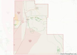
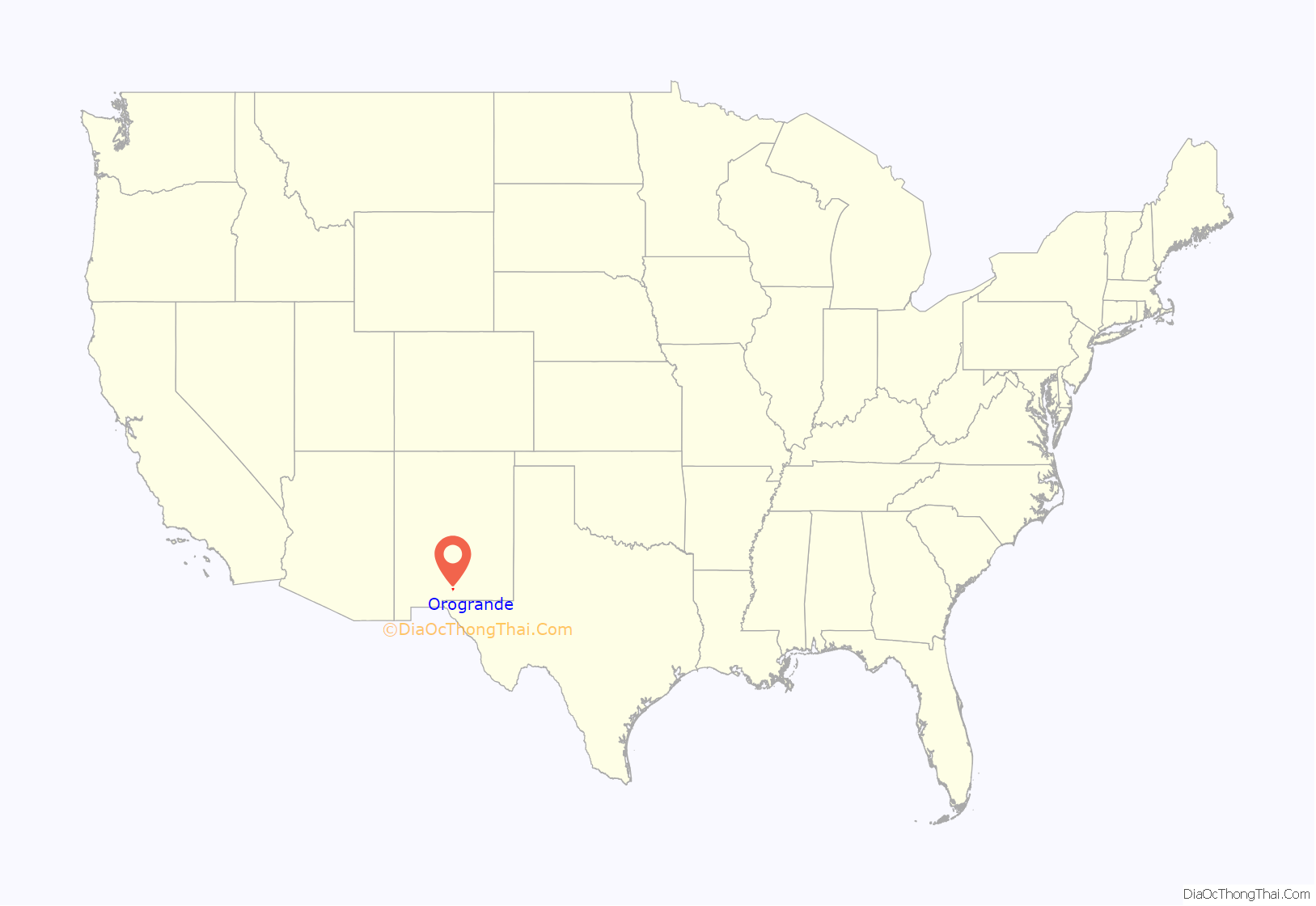
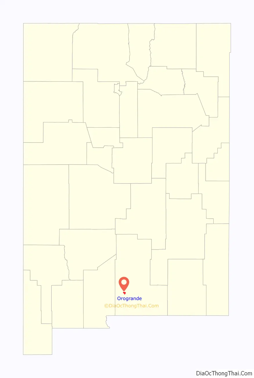
Orogrande location map. Where is Orogrande CDP?
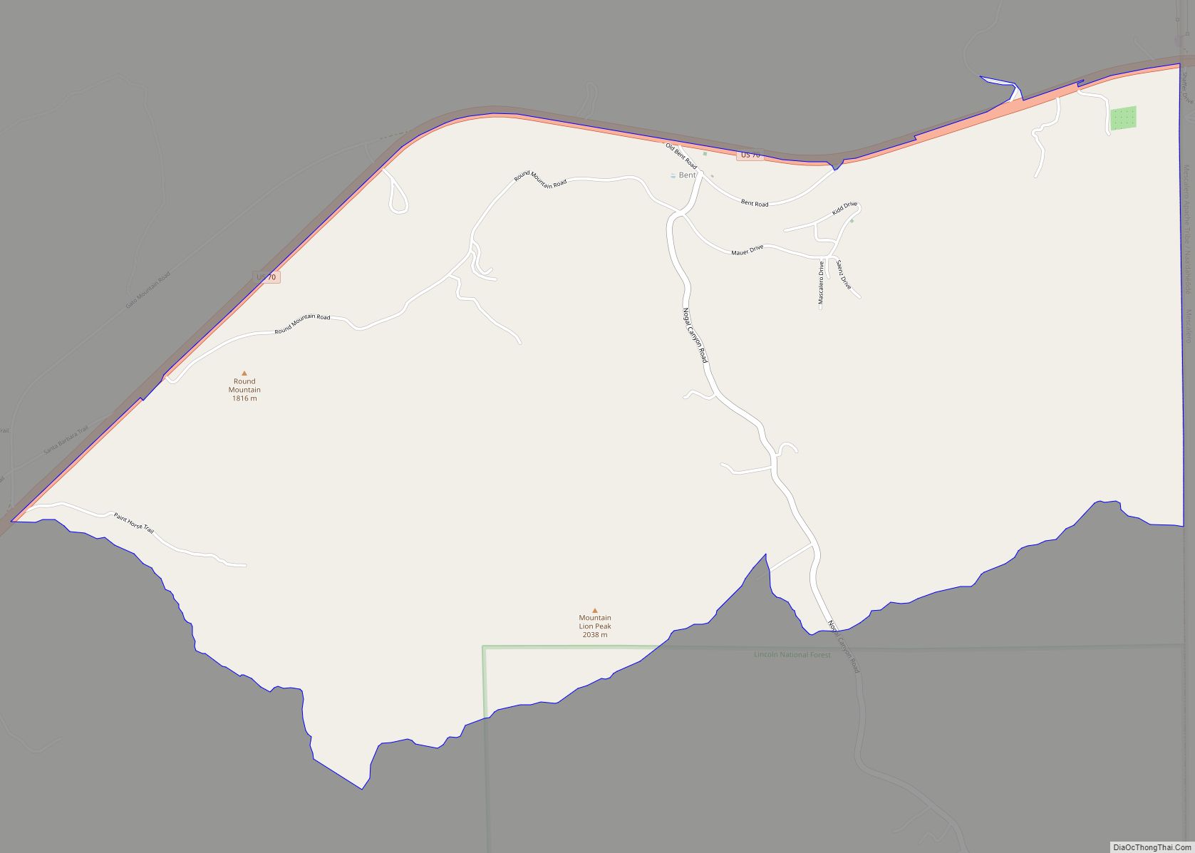
Orogrande Road Map
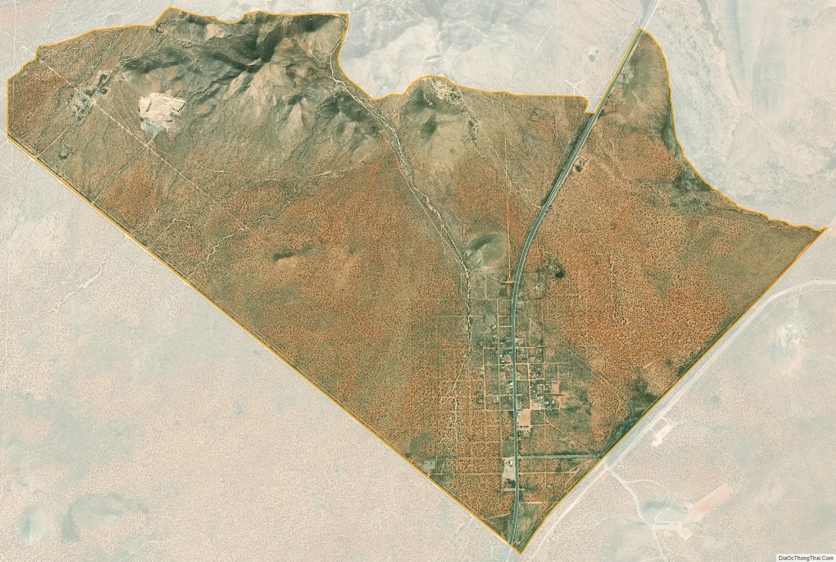
Orogrande city Satellite Map
See also
Map of New Mexico State and its subdivision: Map of other states:- Alabama
- Alaska
- Arizona
- Arkansas
- California
- Colorado
- Connecticut
- Delaware
- District of Columbia
- Florida
- Georgia
- Hawaii
- Idaho
- Illinois
- Indiana
- Iowa
- Kansas
- Kentucky
- Louisiana
- Maine
- Maryland
- Massachusetts
- Michigan
- Minnesota
- Mississippi
- Missouri
- Montana
- Nebraska
- Nevada
- New Hampshire
- New Jersey
- New Mexico
- New York
- North Carolina
- North Dakota
- Ohio
- Oklahoma
- Oregon
- Pennsylvania
- Rhode Island
- South Carolina
- South Dakota
- Tennessee
- Texas
- Utah
- Vermont
- Virginia
- Washington
- West Virginia
- Wisconsin
- Wyoming