Paradise Hills is a census-designated place (CDP) in Bernalillo County, New Mexico, United States. The population was 4,256 at the 2010 census. It is part of the Albuquerque Metropolitan Statistical Area.
| Name: | Paradise Hills CDP |
|---|---|
| LSAD Code: | 57 |
| LSAD Description: | CDP (suffix) |
| State: | New Mexico |
| County: | Bernalillo County |
| Elevation: | 5,315 ft (1,620 m) |
| Total Area: | 1.02 sq mi (2.65 km²) |
| Land Area: | 1.02 sq mi (2.65 km²) |
| Water Area: | 0.00 sq mi (0.00 km²) |
| Total Population: | 4,329 |
| Population Density: | 4,231.67/sq mi (1,634.37/km²) |
| Area code: | 505 |
| FIPS code: | 3555270 |
| GNISfeature ID: | 0899835 |
Online Interactive Map
Click on ![]() to view map in "full screen" mode.
to view map in "full screen" mode.
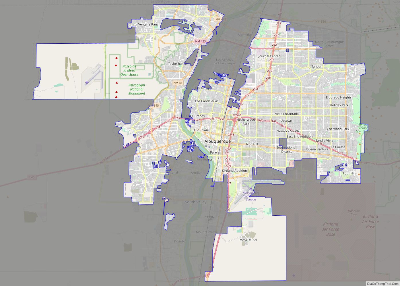
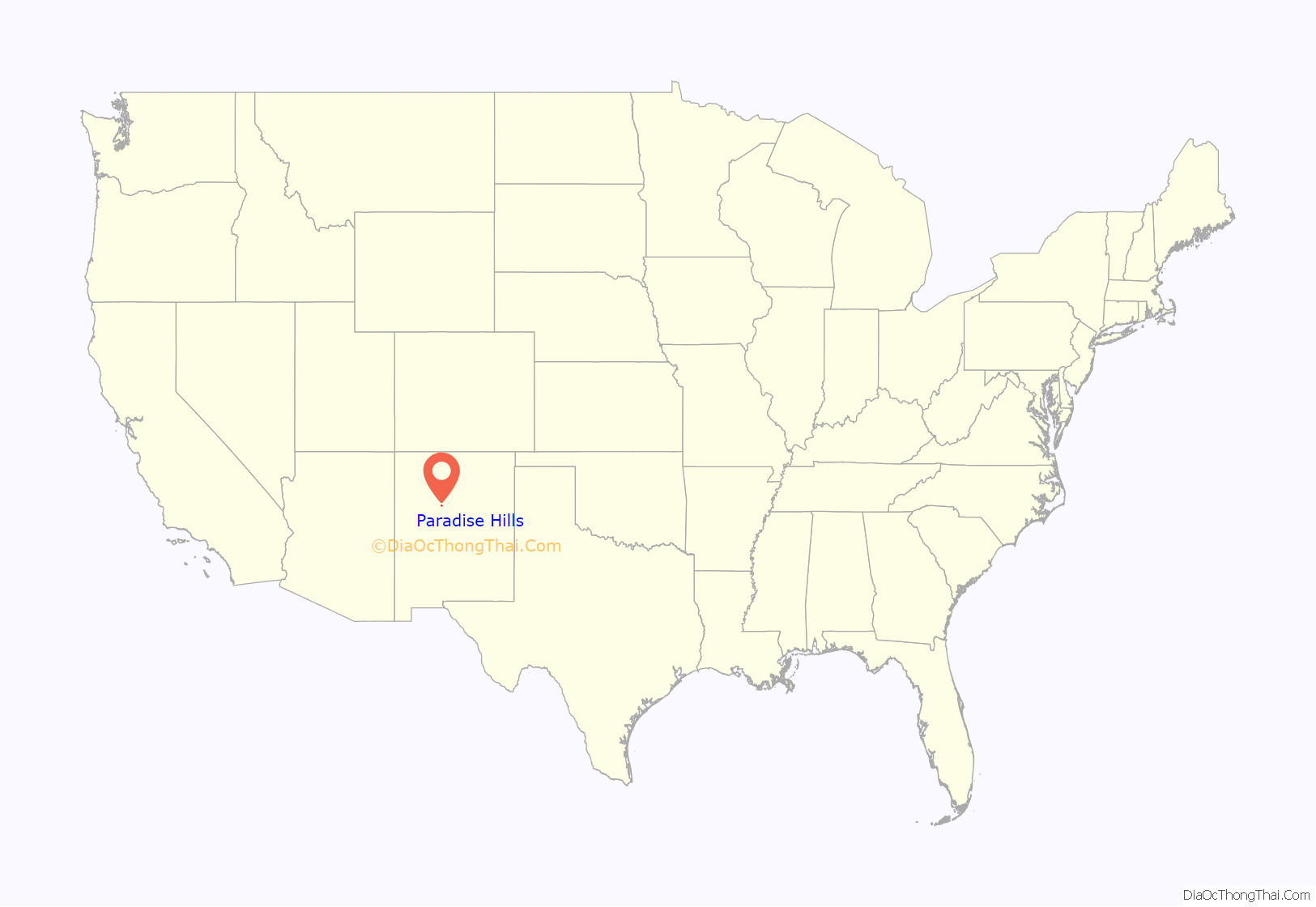
Paradise Hills location map. Where is Paradise Hills CDP?
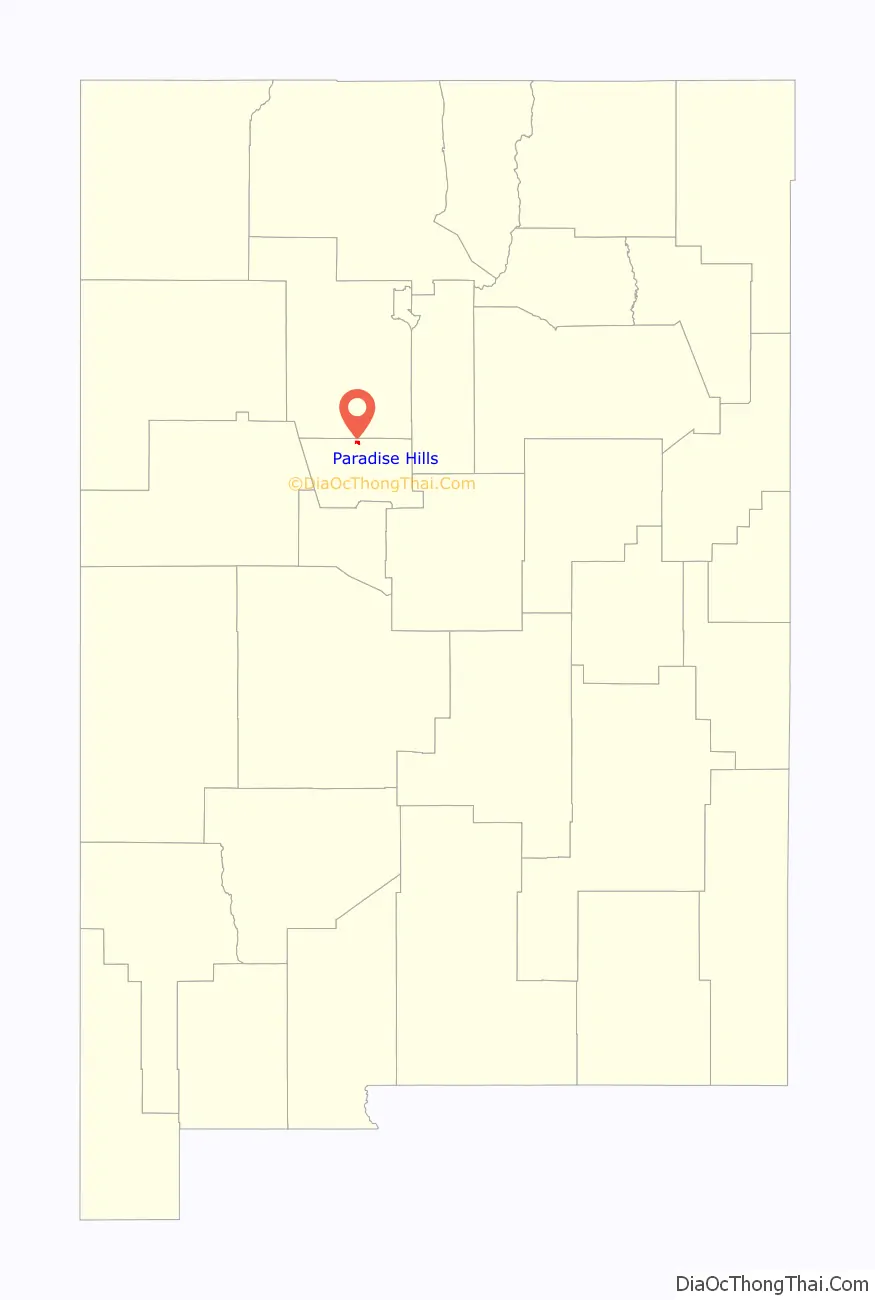
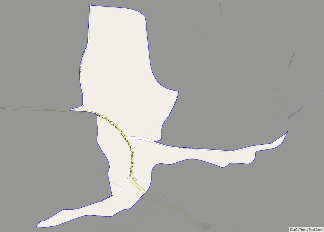
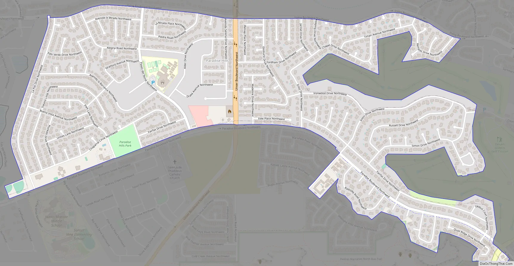
Paradise Hills Road Map
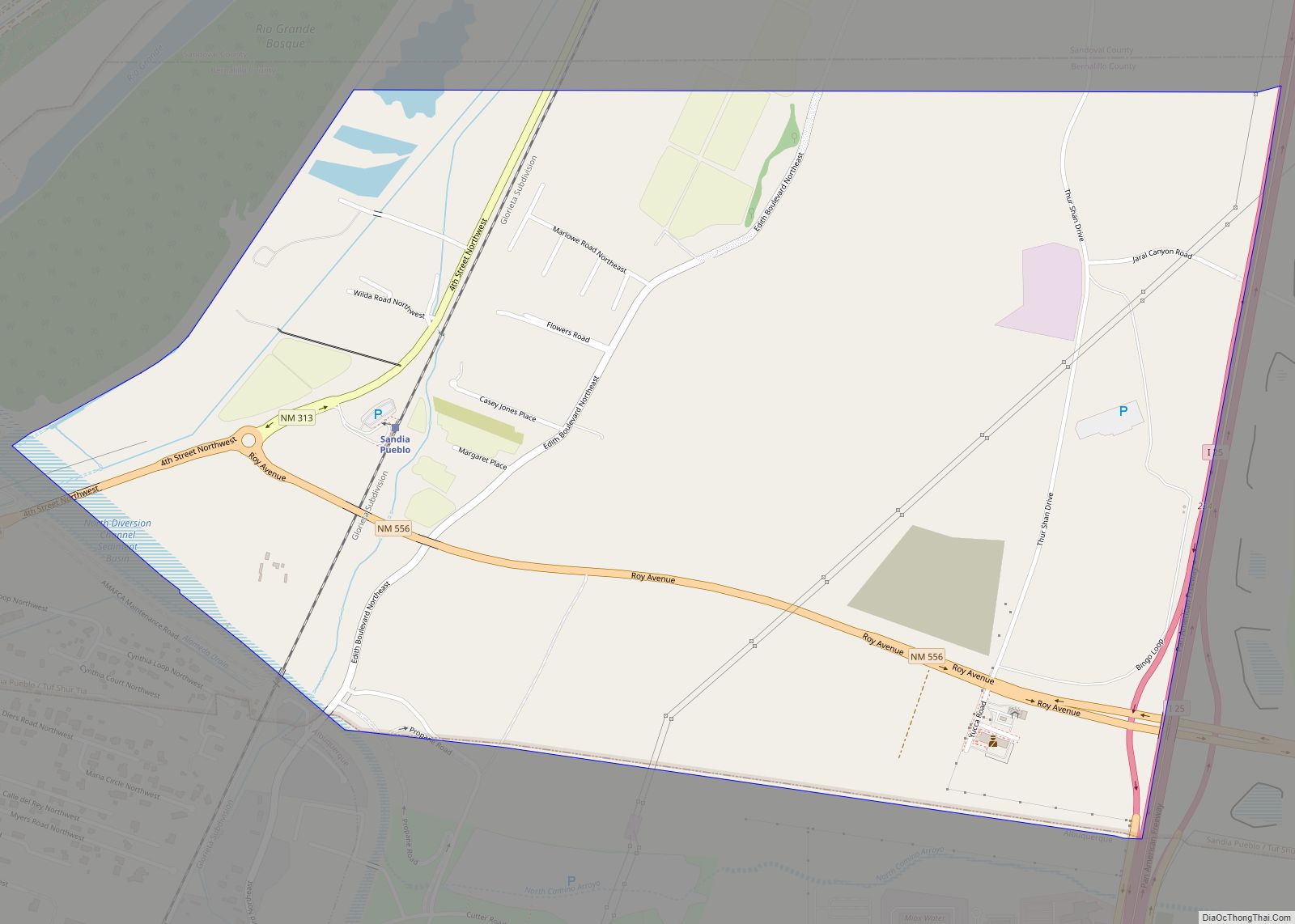
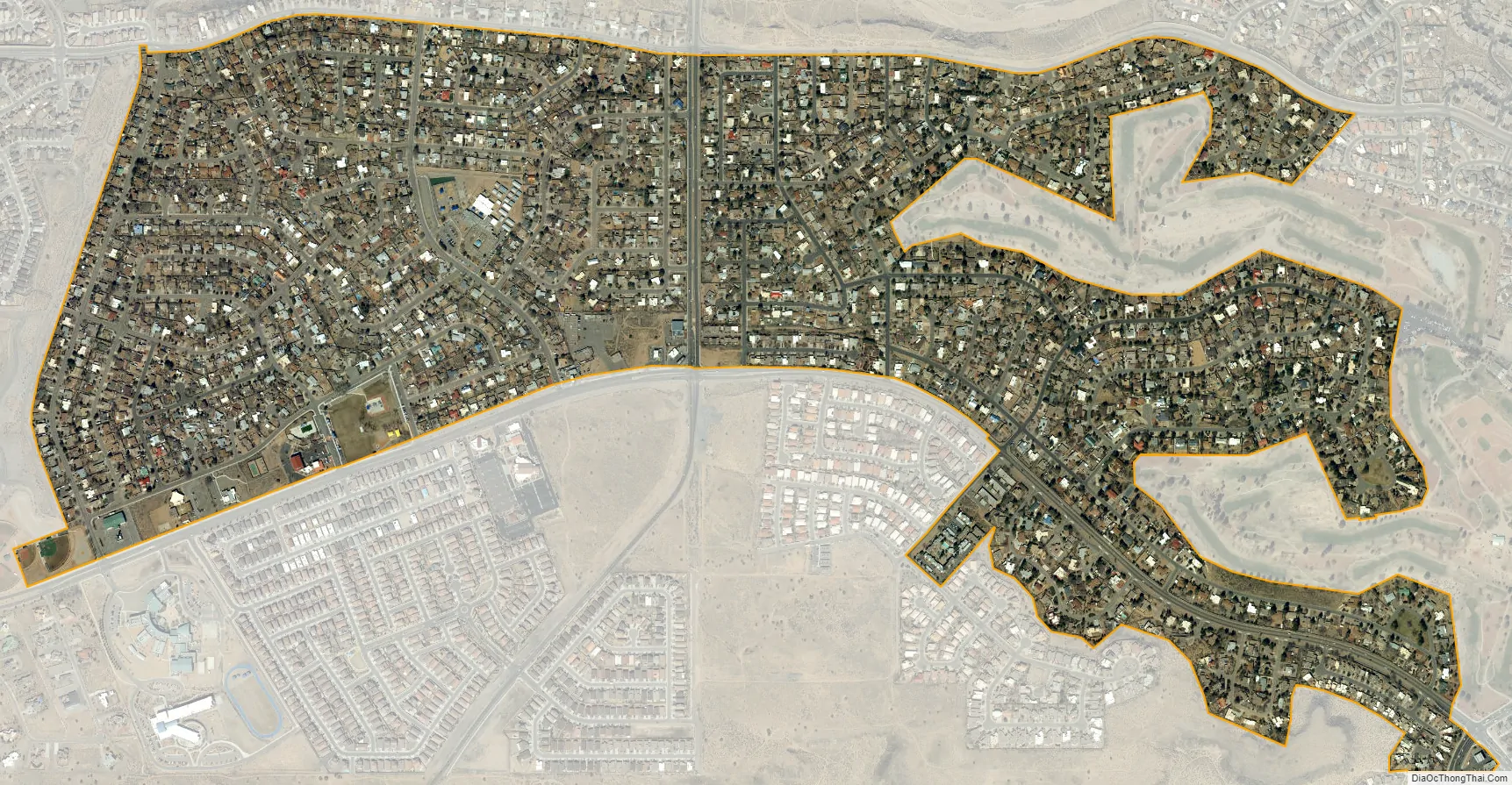
Paradise Hills city Satellite Map
Geography
Paradise Hills is located in northern Bernalillo County on high ground rising to the west of the valley of the Rio Grande. The unincorporated CDP is entirely surrounded by the city of Albuquerque. Paradise Hills is bordered to the east by the Desert Greens Golf Course, formerly known as Paradise Hills Golf Course.
According to the United States Census Bureau, the CDP has a total area of 1.0 square mile (2.6 km), all land.
See also
Map of New Mexico State and its subdivision: Map of other states:- Alabama
- Alaska
- Arizona
- Arkansas
- California
- Colorado
- Connecticut
- Delaware
- District of Columbia
- Florida
- Georgia
- Hawaii
- Idaho
- Illinois
- Indiana
- Iowa
- Kansas
- Kentucky
- Louisiana
- Maine
- Maryland
- Massachusetts
- Michigan
- Minnesota
- Mississippi
- Missouri
- Montana
- Nebraska
- Nevada
- New Hampshire
- New Jersey
- New Mexico
- New York
- North Carolina
- North Dakota
- Ohio
- Oklahoma
- Oregon
- Pennsylvania
- Rhode Island
- South Carolina
- South Dakota
- Tennessee
- Texas
- Utah
- Vermont
- Virginia
- Washington
- West Virginia
- Wisconsin
- Wyoming