Peralta is a town in Valencia County, New Mexico, United States. Prior to its incorporation on July 1, 2007, it was a census-designated place (CDP). The population was 3,660 as of the 2010 census. Peralta is part of the Albuquerque metropolitan area.
| Name: | Peralta town |
|---|---|
| LSAD Code: | 43 |
| LSAD Description: | town (suffix) |
| State: | New Mexico |
| County: | Valencia County |
| Elevation: | 4,862 ft (1,482 m) |
| Total Area: | 4.44 sq mi (11.51 km²) |
| Land Area: | 4.44 sq mi (11.51 km²) |
| Water Area: | 0.00 sq mi (0.00 km²) |
| Total Population: | 3,342 |
| Population Density: | 752.19/sq mi (290.41/km²) |
| ZIP code: | 87042, 87068 |
| Area code: | 505 |
| FIPS code: | 3556180 |
| GNISfeature ID: | 0923646 |
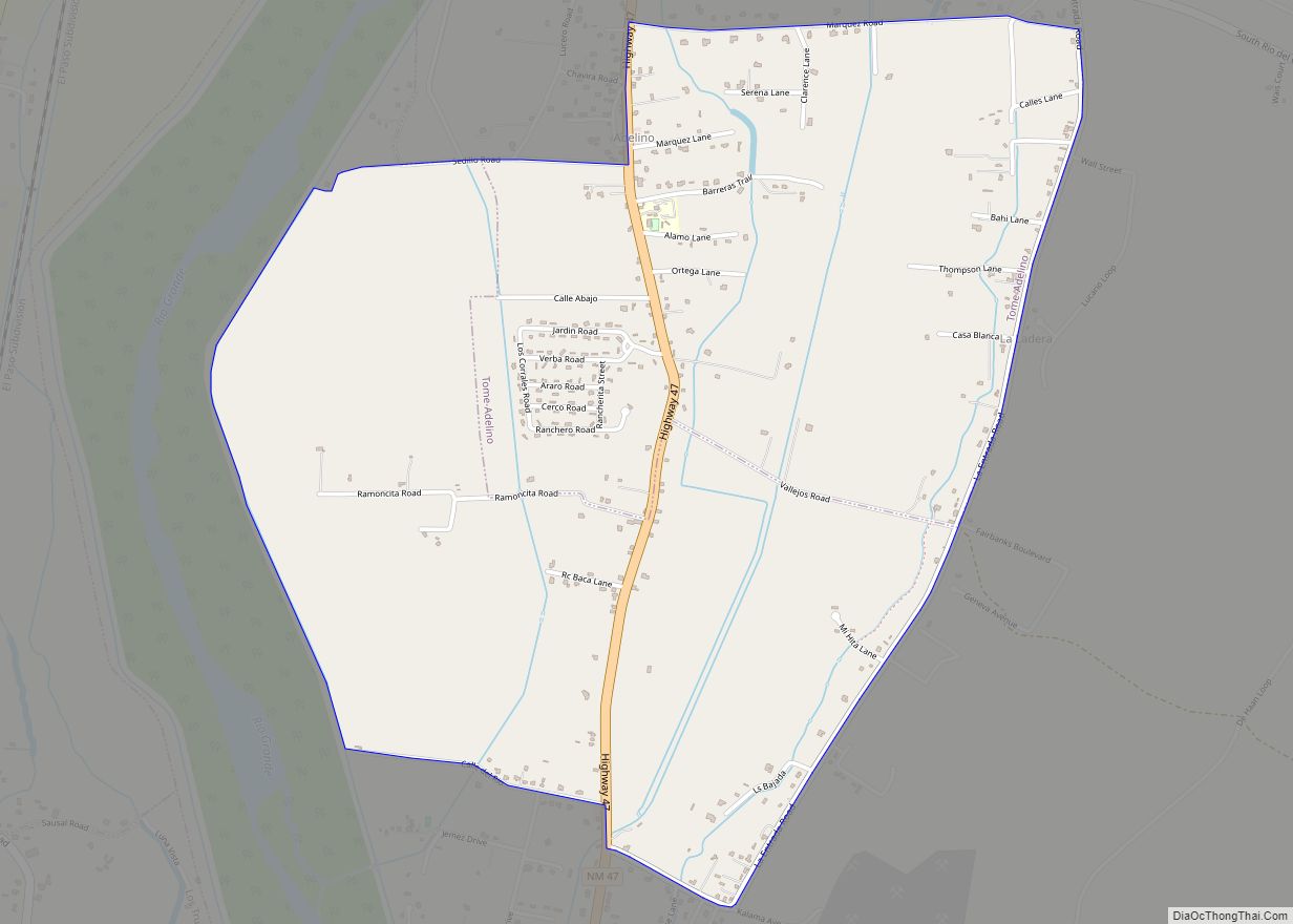
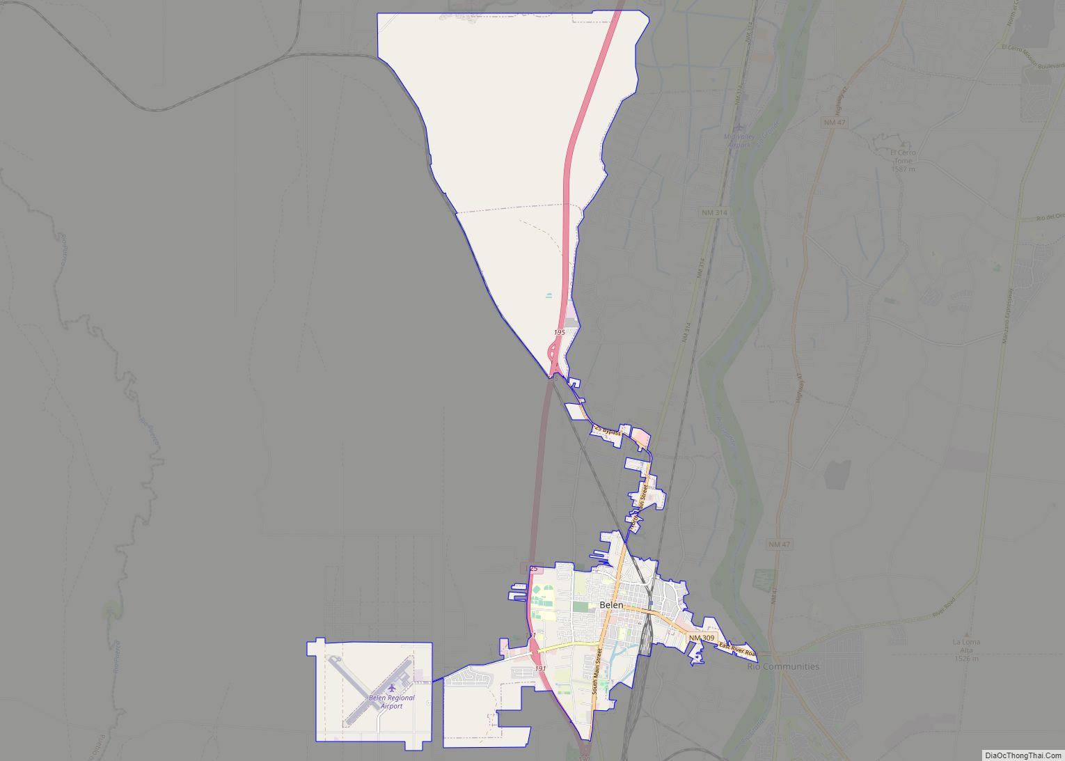
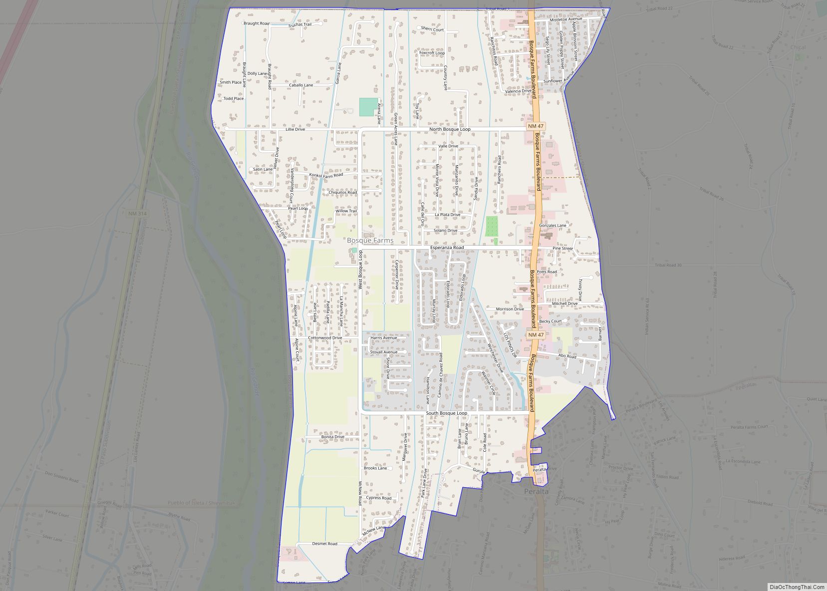
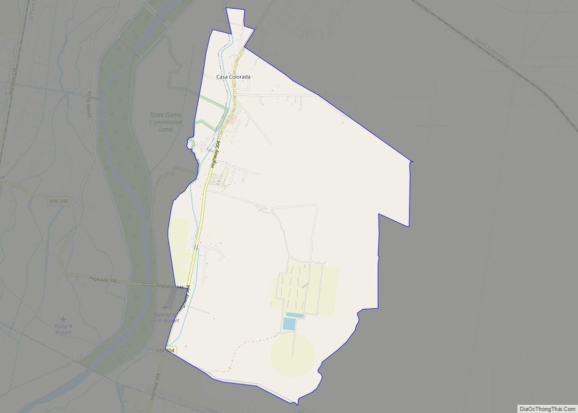
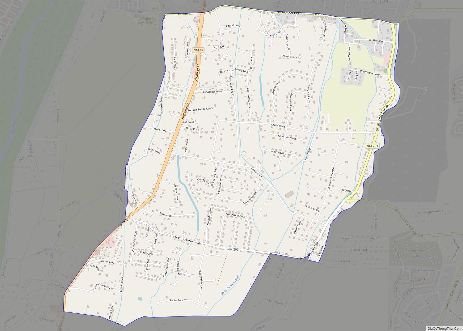
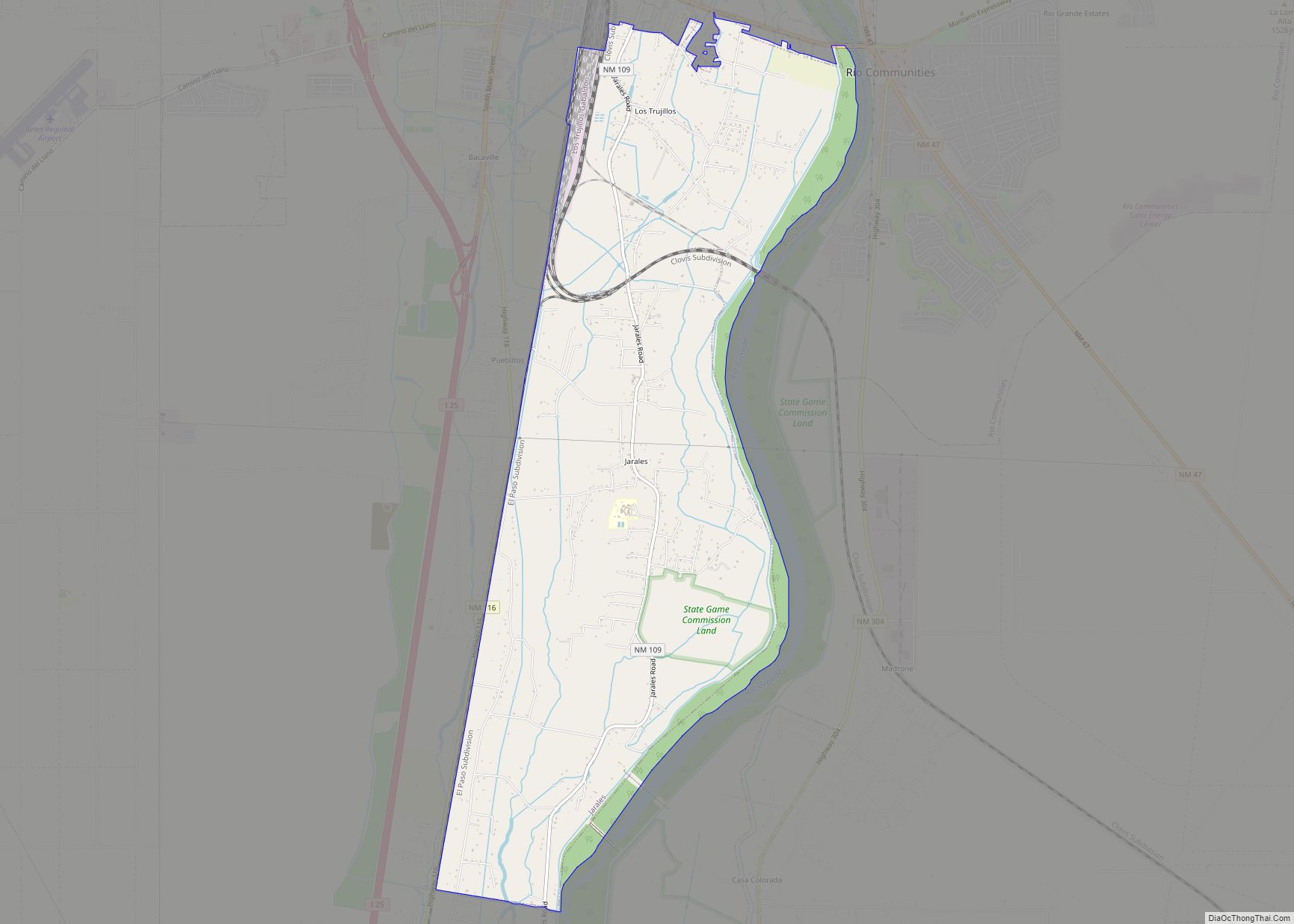
Online Interactive Map
Click on ![]() to view map in "full screen" mode.
to view map in "full screen" mode.
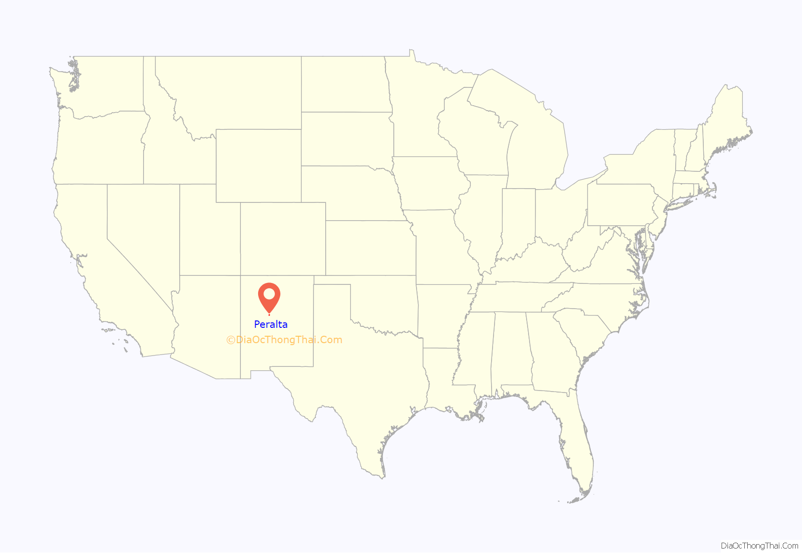
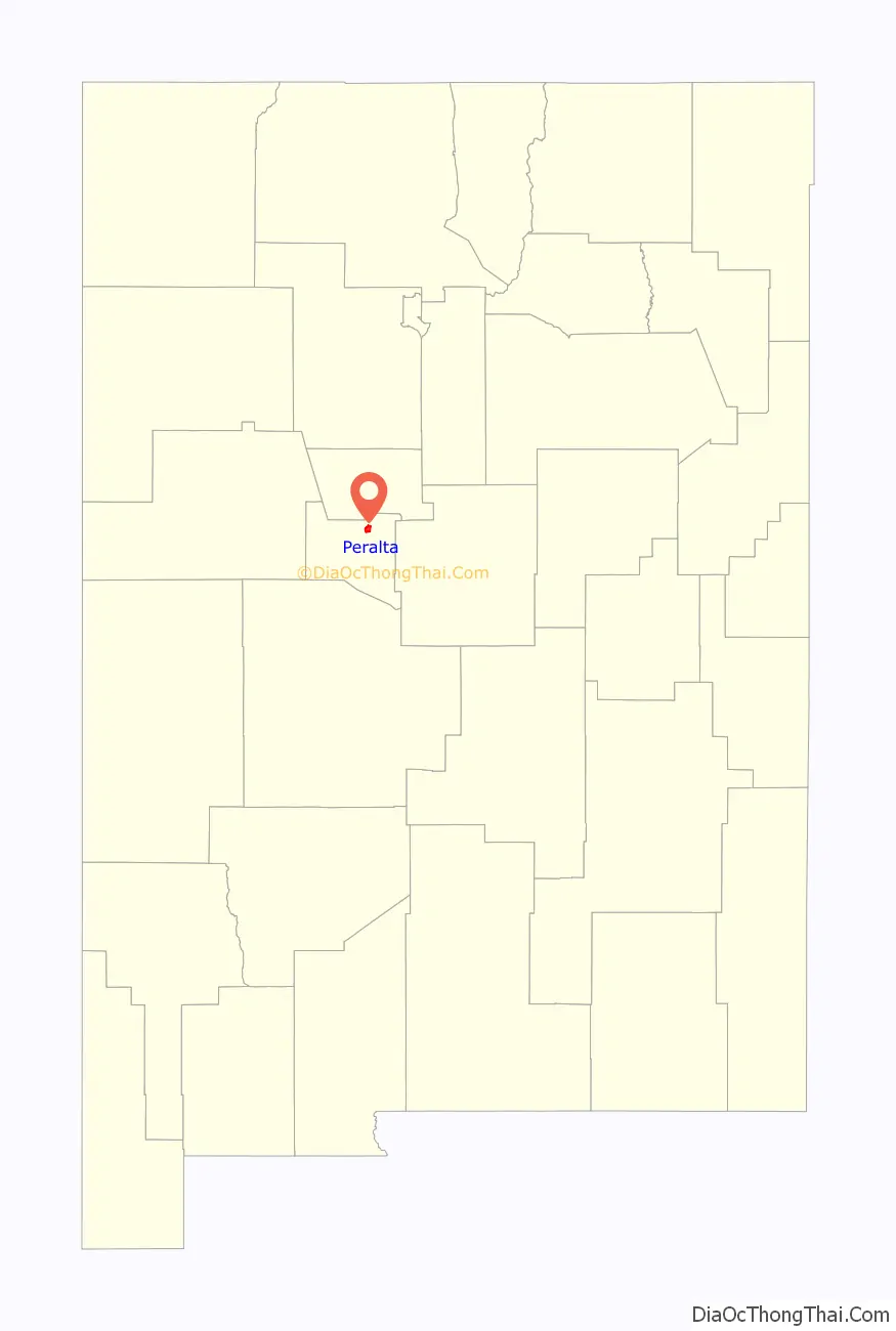
Peralta location map. Where is Peralta town?
History
Peralta was the site of the Battle of Peralta, a minor engagement near the end of Confederate General Henry Hopkins Sibley’s 1862 New Mexico Campaign during the Civil War.
“The Padre of Isleta”, Anton Docher served as a priest in Peralta during his long period in Isleta.
Peralta Road Map
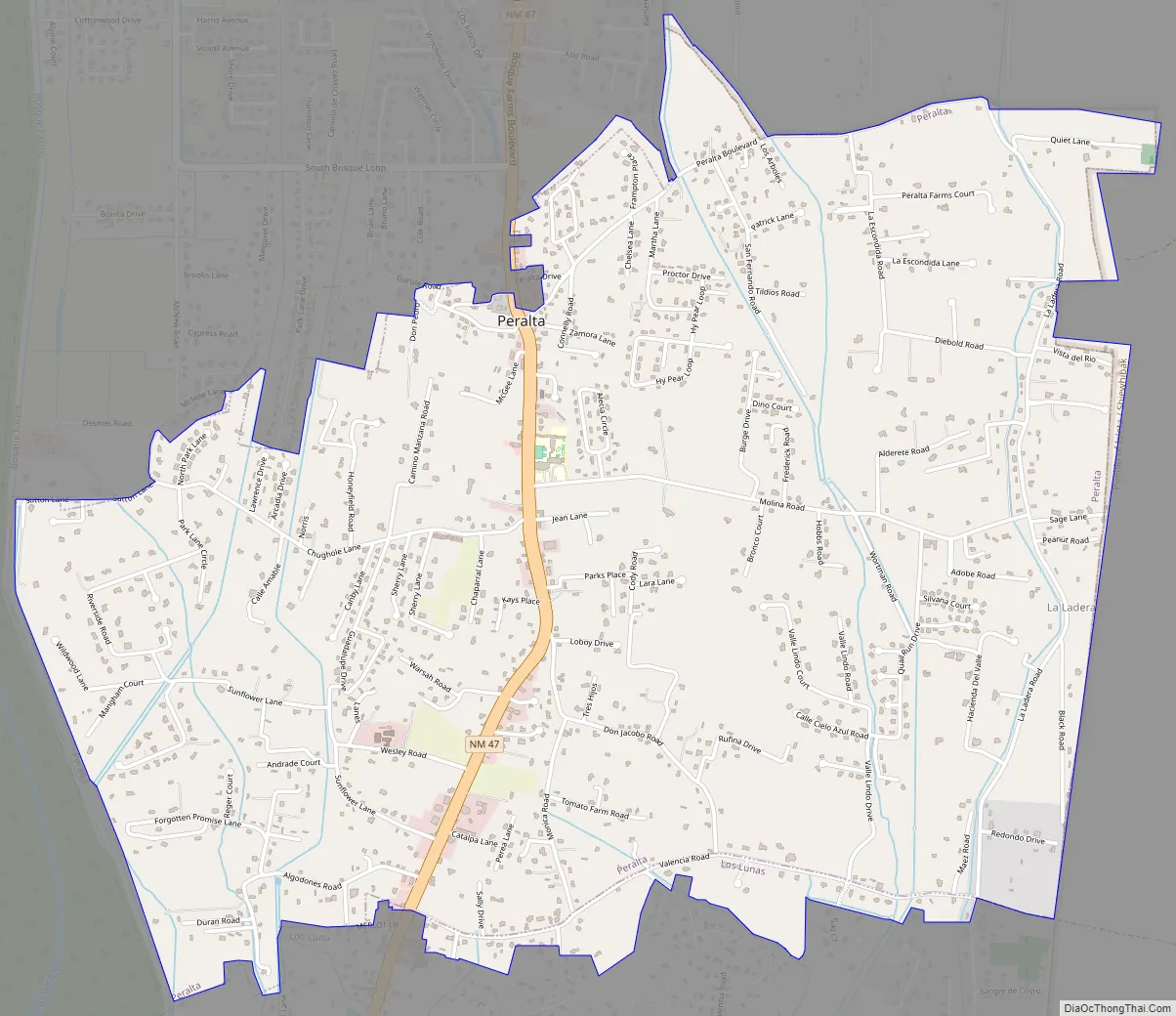
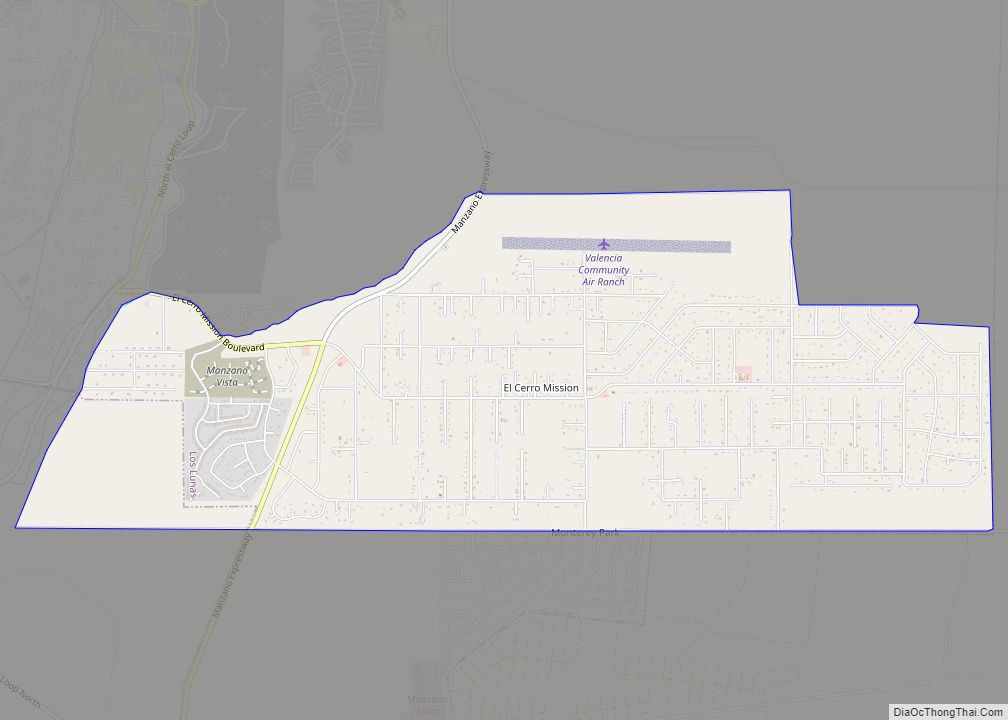
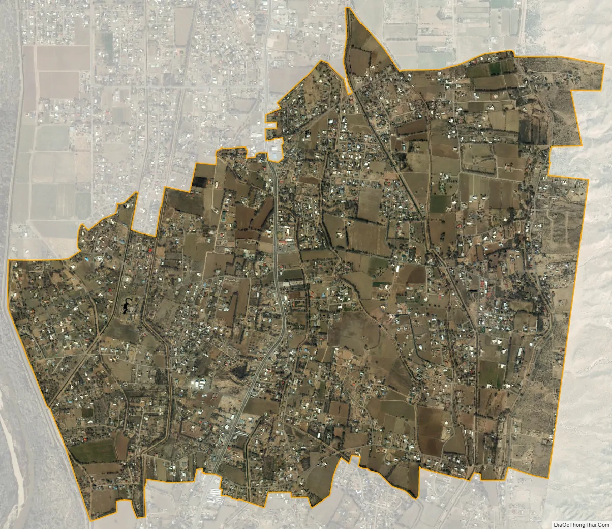
Peralta city Satellite Map
Geography
Peralta is located at 34°49′35″N 106°41′20″W / 34.82639°N 106.68889°W / 34.82639; -106.68889 (34.826464, −106.688916).
According to the United States Census Bureau, the CDP had a total area of 4.4 square miles (11 km), all land.
See also
Map of New Mexico State and its subdivision: Map of other states:- Alabama
- Alaska
- Arizona
- Arkansas
- California
- Colorado
- Connecticut
- Delaware
- District of Columbia
- Florida
- Georgia
- Hawaii
- Idaho
- Illinois
- Indiana
- Iowa
- Kansas
- Kentucky
- Louisiana
- Maine
- Maryland
- Massachusetts
- Michigan
- Minnesota
- Mississippi
- Missouri
- Montana
- Nebraska
- Nevada
- New Hampshire
- New Jersey
- New Mexico
- New York
- North Carolina
- North Dakota
- Ohio
- Oklahoma
- Oregon
- Pennsylvania
- Rhode Island
- South Carolina
- South Dakota
- Tennessee
- Texas
- Utah
- Vermont
- Virginia
- Washington
- West Virginia
- Wisconsin
- Wyoming