Quemado is a census-designated place in Catron County, New Mexico, United States. As of the 2010 census it had a population of 228. Walter De Maria’s 1977 art installation, The Lightning Field, is between Quemado and Pie Town, New Mexico.
Jerry D. Thompson, historian of the American Southwest, was reared in Quemado.
| Name: | Quemado CDP |
|---|---|
| LSAD Code: | 57 |
| LSAD Description: | CDP (suffix) |
| State: | New Mexico |
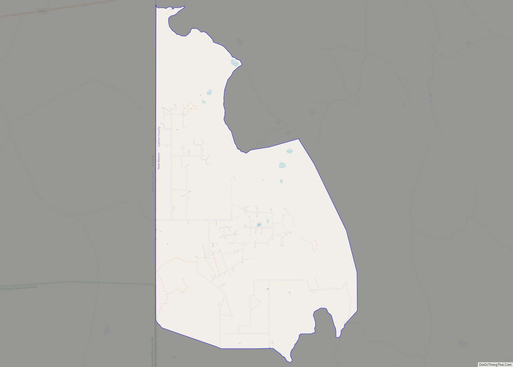
| County: | Catron County |
| Elevation: | 6,902 ft (2,104 m) |
| Total Area: | 1.80 sq mi (4.66 km²) |
| Land Area: | 1.79 sq mi (4.64 km²) |
| Water Area: | 0.01 sq mi (0.03 km²) |
| Total Population: | 163 |
| Population Density: | 91.06/sq mi (35.16/km²) |
| Area code: | 575 |
| FIPS code: | 3560730 |
| GNISfeature ID: | 35-60730 |
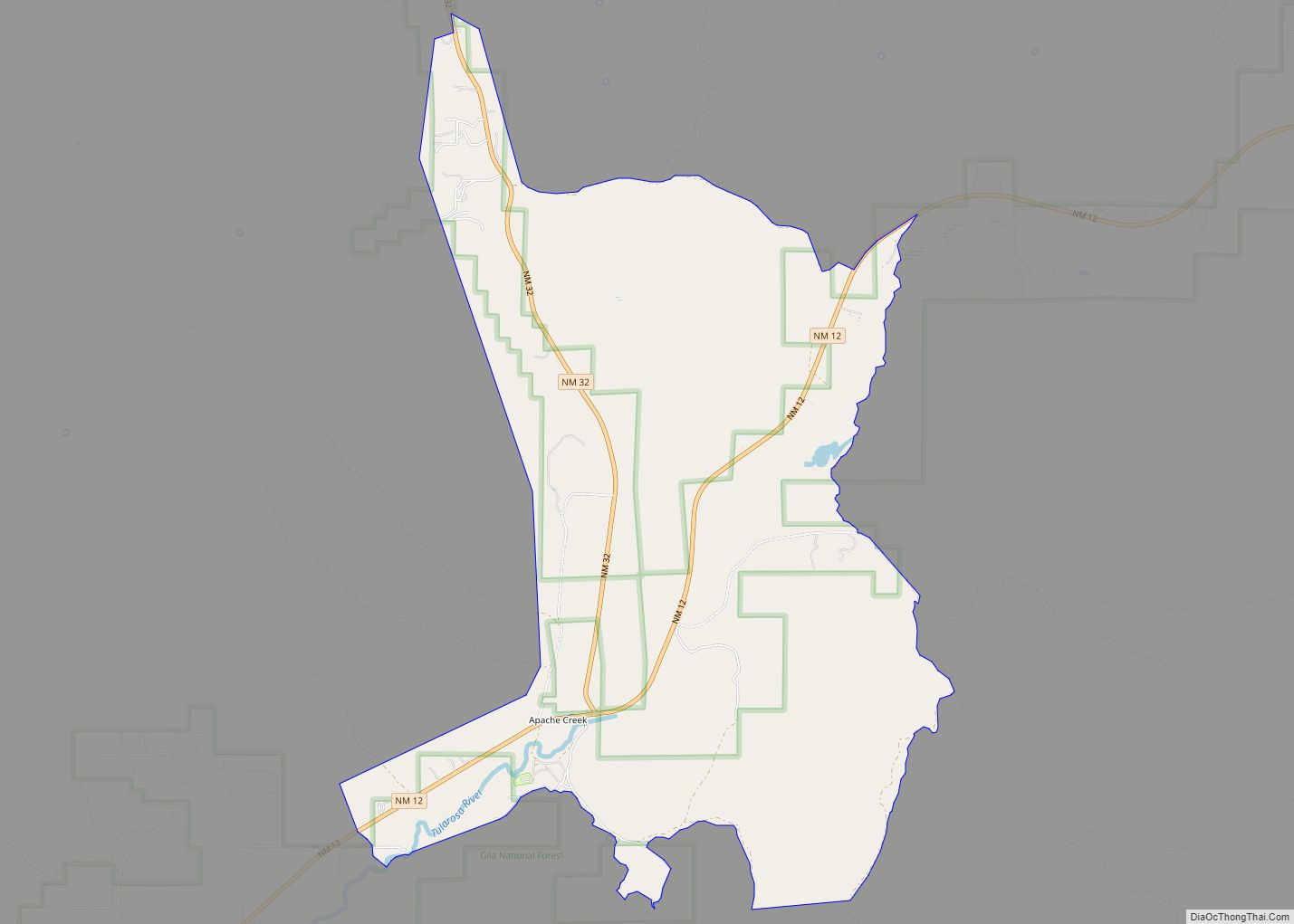
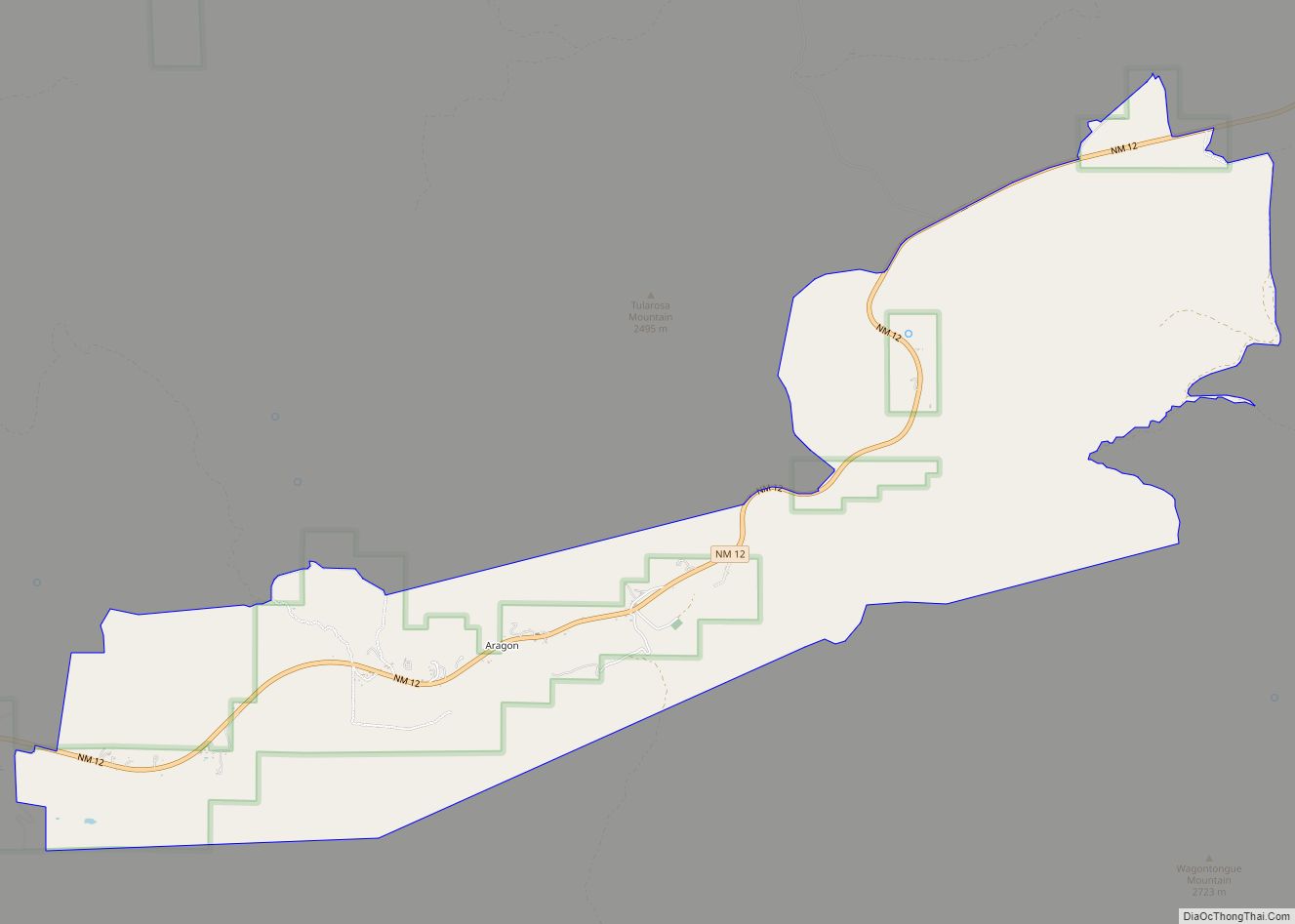
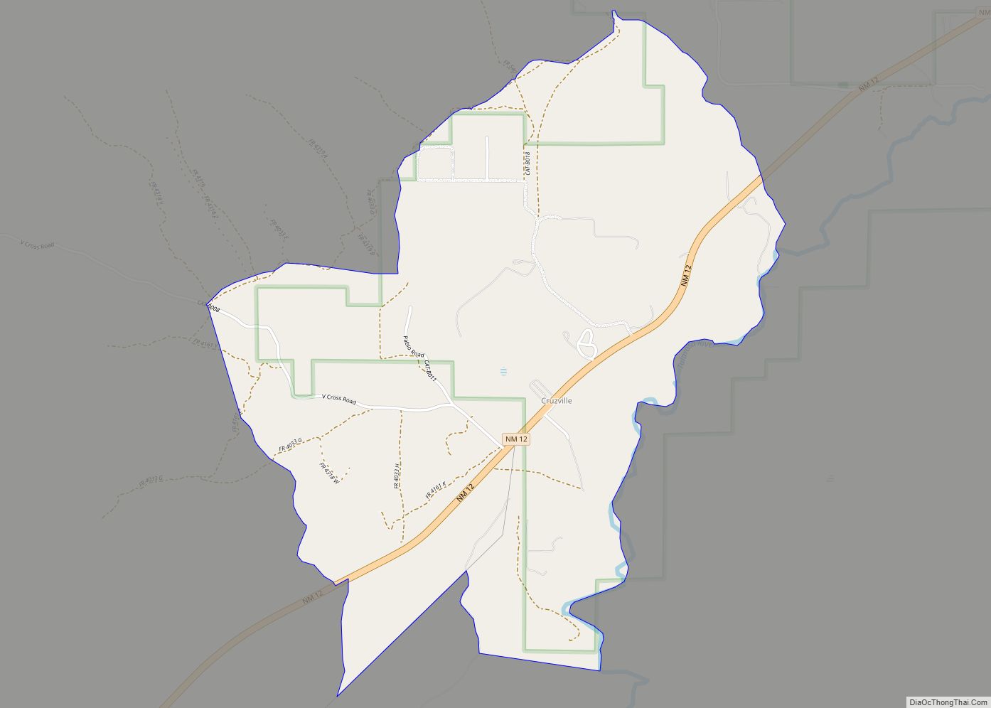
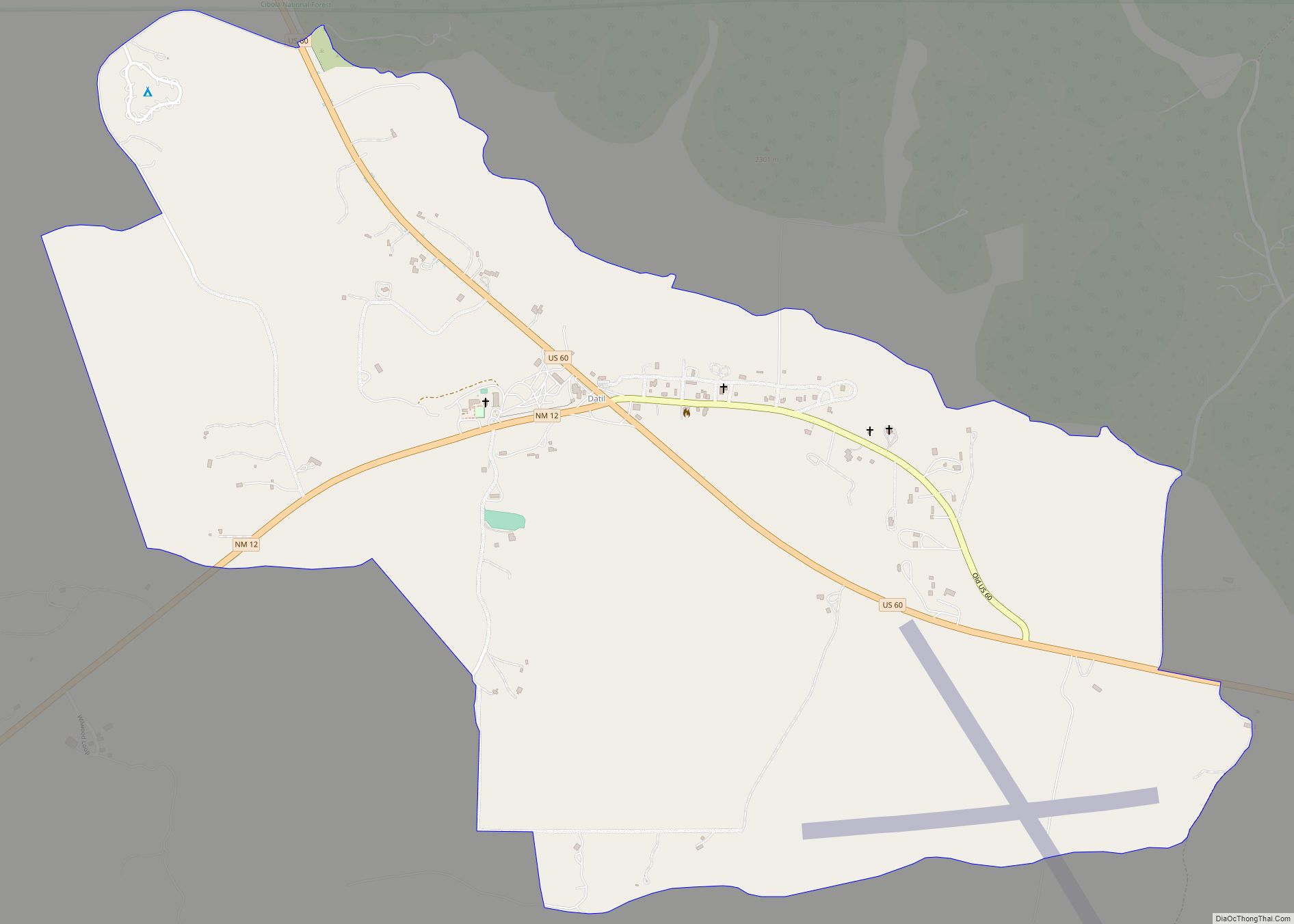
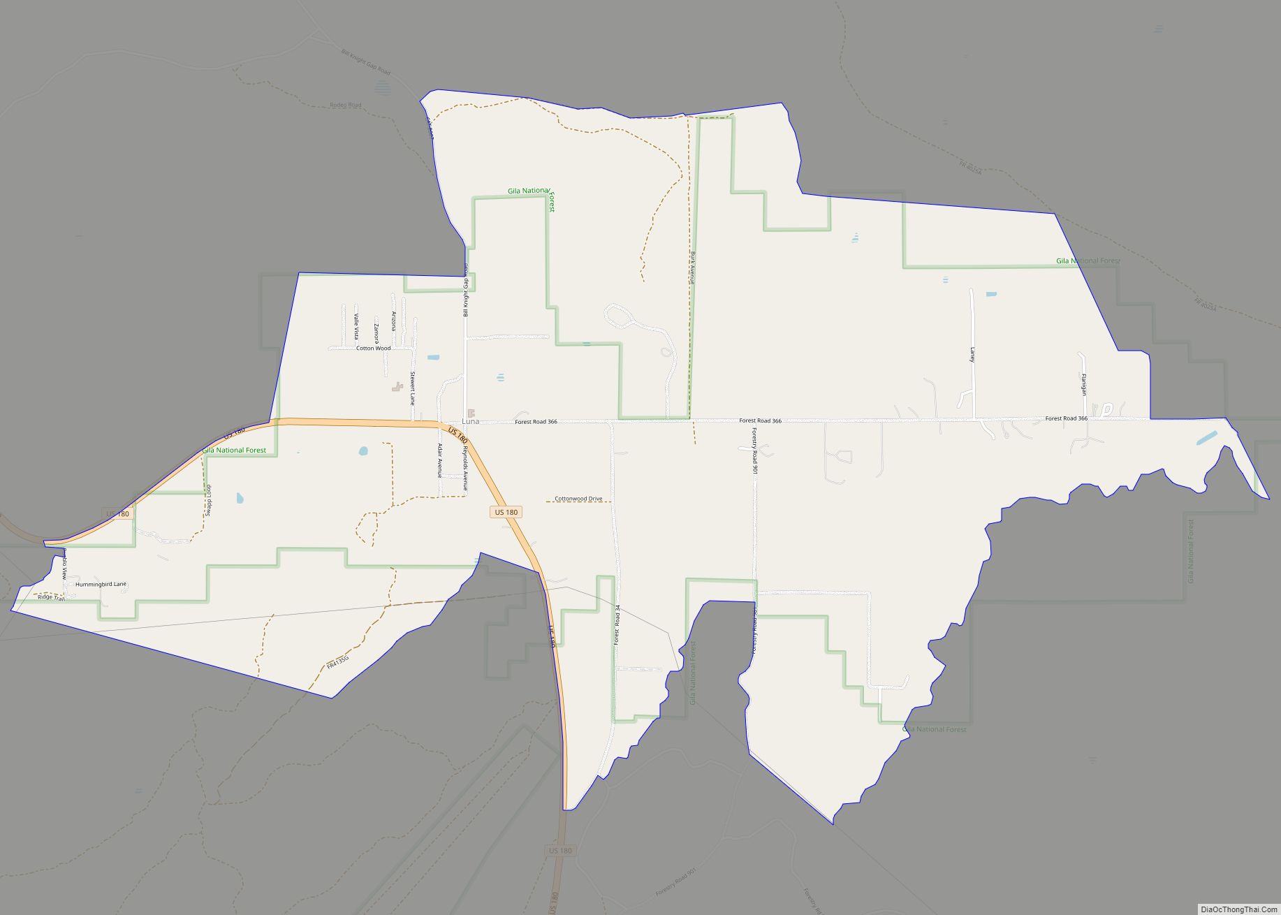
Online Interactive Map
Click on ![]() to view map in "full screen" mode.
to view map in "full screen" mode.
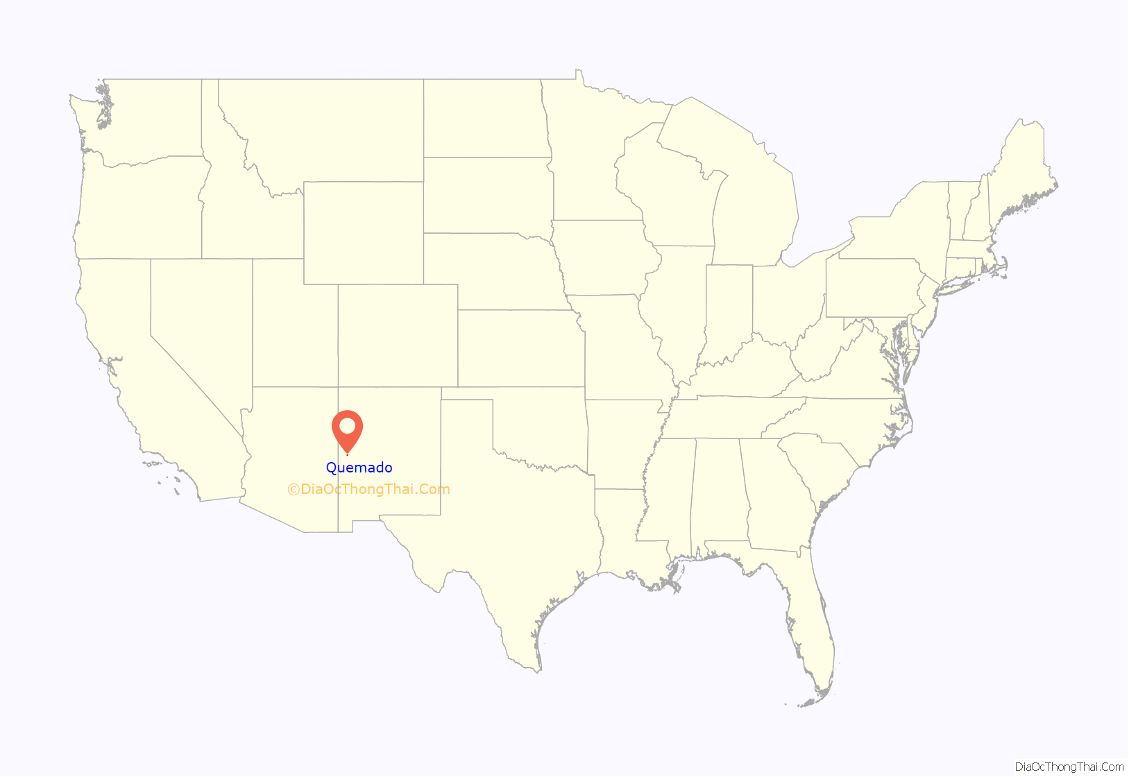
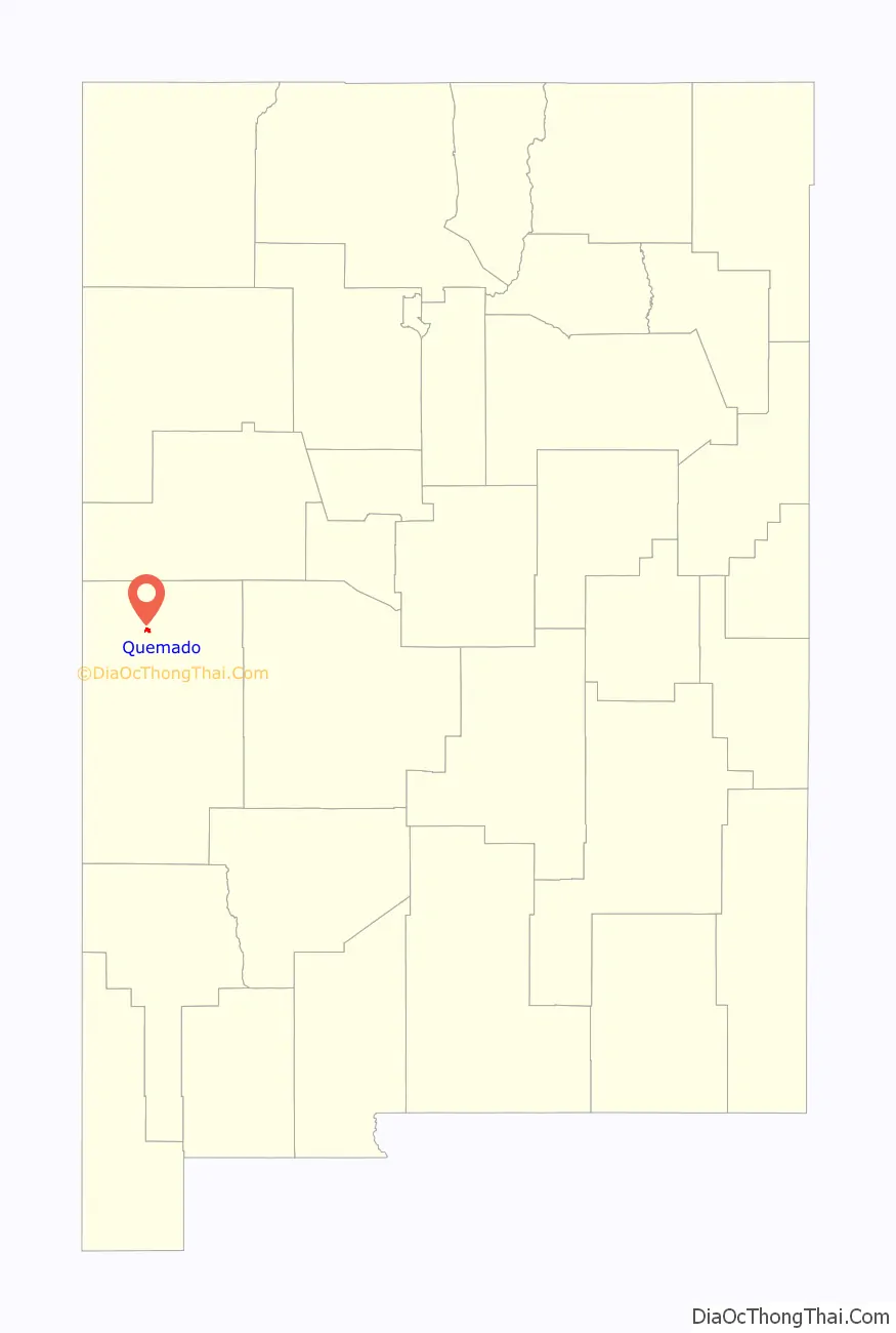
Quemado location map. Where is Quemado CDP?
Quemado Road Map

Quemado city Satellite Map

Geography
Climate
Quemado (meaning “burnt” in English) was named by Spanish conquistadors due to the blackened stones that cover the earth. It was caused by a fire that preceded the arrival of the Spanish in the early 1500s and the carbon remains partially due to paltry rainfall in the region.
Quemado is categorized as being within the 6a USDA hardiness zone, meaning temperatures can get as low as -10 to -5 °F.
See also
Map of New Mexico State and its subdivision: Map of other states:- Alabama
- Alaska
- Arizona
- Arkansas
- California
- Colorado
- Connecticut
- Delaware
- District of Columbia
- Florida
- Georgia
- Hawaii
- Idaho
- Illinois
- Indiana
- Iowa
- Kansas
- Kentucky
- Louisiana
- Maine
- Maryland
- Massachusetts
- Michigan
- Minnesota
- Mississippi
- Missouri
- Montana
- Nebraska
- Nevada
- New Hampshire
- New Jersey
- New Mexico
- New York
- North Carolina
- North Dakota
- Ohio
- Oklahoma
- Oregon
- Pennsylvania
- Rhode Island
- South Carolina
- South Dakota
- Tennessee
- Texas
- Utah
- Vermont
- Virginia
- Washington
- West Virginia
- Wisconsin
- Wyoming