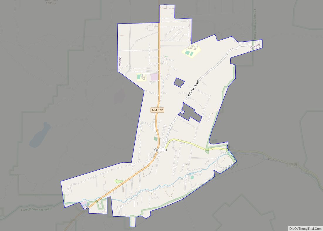
Questa is a village in Taos County, New Mexico, United States. The population was 1,770 at the 2010 census. The village has trails into the Rio Grande Gorge, trout fishing, and mountain lakes with trails that access the Sangre de Cristo Mountains that overlook the area. Questa is on the Enchanted Circle Scenic Byway, near the confluence of the Rio Grande and the Red River. The “Gateway to the Rio Grande del Norte Monument”, its visitors can drive to an overlook of the Red River meeting the Rio Grande in the depth of the gorge. The Carson National Forest parallels Questa to the east. The Columbine Hondo Wilderness and Latir Peak Wildness are in the Carson National Forest close to Questa.
With a large Hispanic population, the village economy was historically largely dependent on agriculture and income from a now-closed Chevron molybdenum mine. Many residents also commute to Taos, Red River, and Angel Fire to work in the hospitality industries there.
| Name: | Questa village |
|---|---|
| LSAD Code: | 47 |
| LSAD Description: | village (suffix) |
| State: | New Mexico |
| County: | Taos County |
| Elevation: | 7,461 ft (2,274 m) |
| Total Area: | 7.59 sq mi (19.66 km²) |
| Land Area: | 7.08 sq mi (18.33 km²) |
| Water Area: | 0.51 sq mi (1.33 km²) |
| Total Population: | 1,742 |
| Population Density: | 246.15/sq mi (95.04/km²) |
| ZIP code: | 87556 |
| Area code: | 575 |
| FIPS code: | 3560870 |
| GNISfeature ID: | 0909932 |
| Website: | http://questa-nm.com/ |
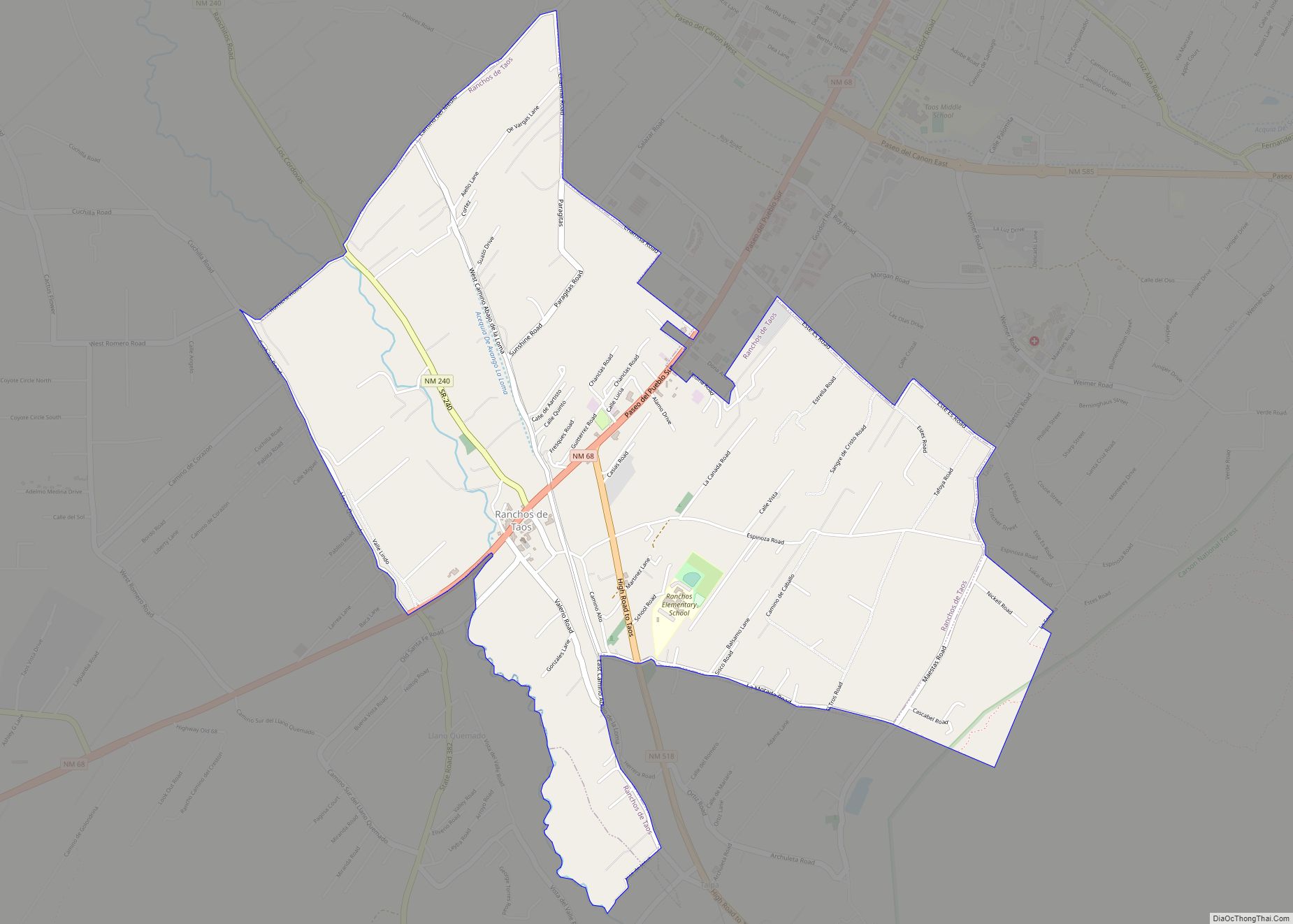
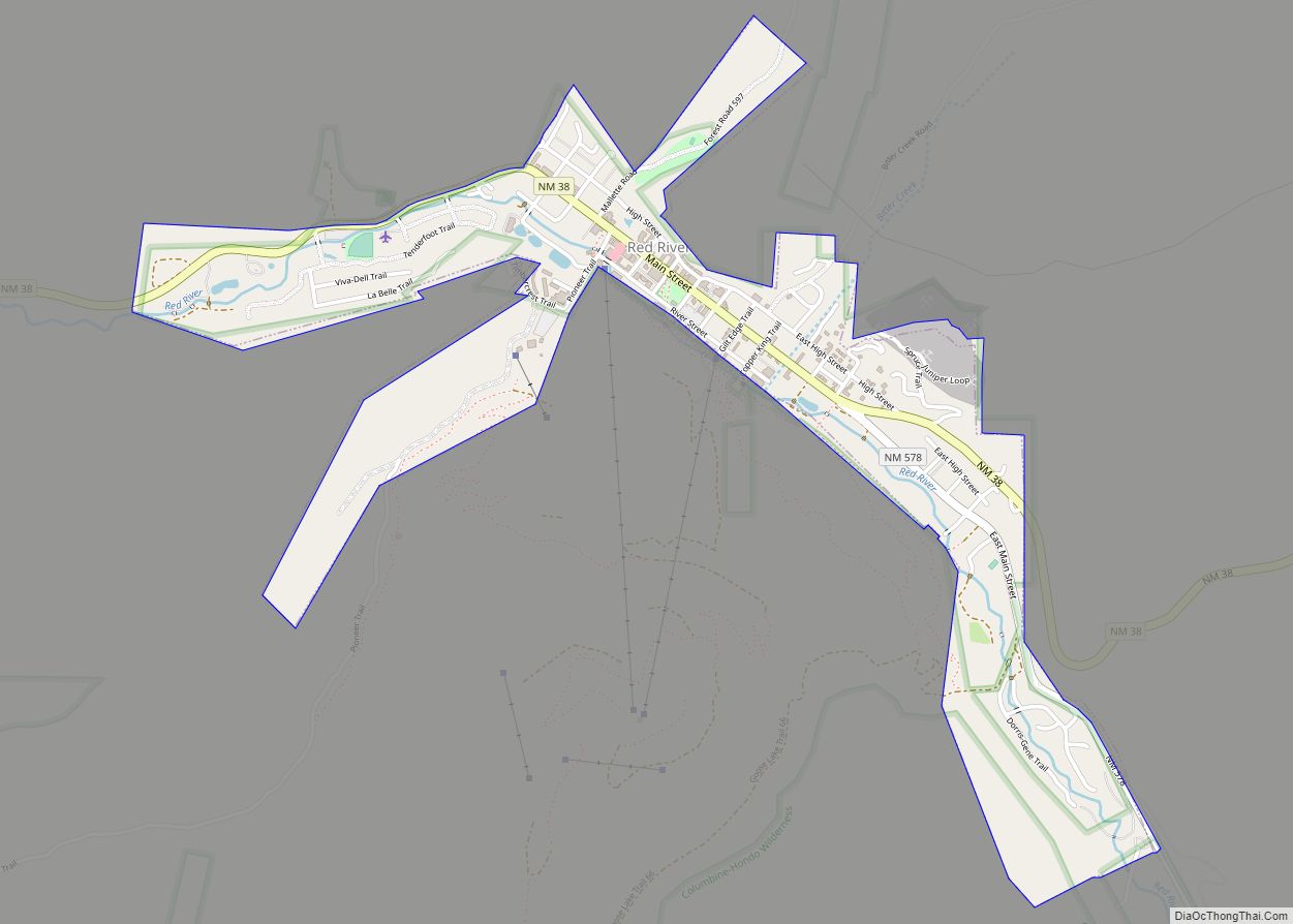
Online Interactive Map
Click on ![]() to view map in "full screen" mode.
to view map in "full screen" mode.
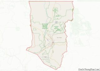
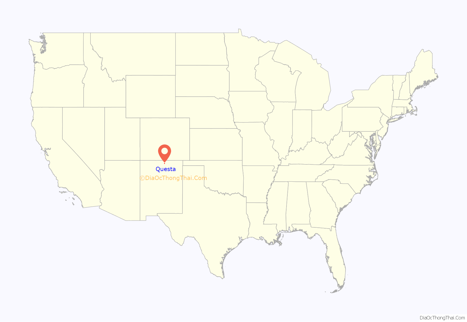
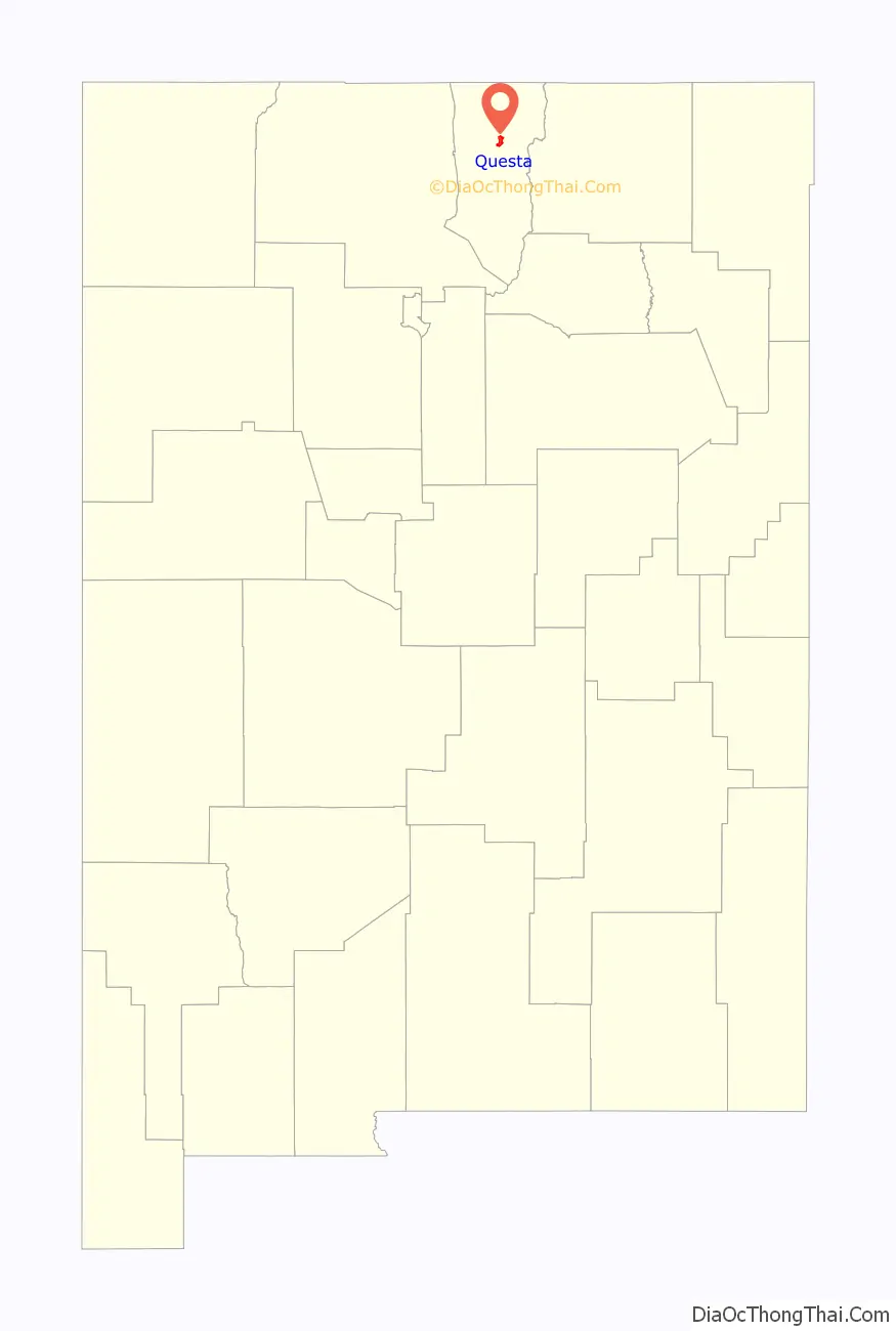
Questa location map. Where is Questa village?
History
Questa was originally named San Antonio del Rio Colorado. Later, a U.S. postmaster changed its name to Questa. The postmaster misspelled the name, as it should have been spelled “Cuesta,” which is Spanish for “ridge” or “slope.” Despite the error, the village has kept the name.
The village of Questa is close to the ancient Kiowa trail, a Native American trade route that connected the Ute, Kiowa, and Comanche tribes to the north with the Pueblo tribes to the south. Evidence of this route is in trail remnants, artifacts, and petroglyphs along the western slopes of the Sangre de Cristo Mountains. The first Spaniard to visit the area may have been Francisco Vásquez de Coronado; certainly the area was known to the Spanish by 1593, when the gold-seekers Juan Humana and Francisco Borilla were killed by tribes along the Purgatoire River.
Mining activity in the area, including the apocryphal Governor’s mine, probably began around that time, and continued until the Pueblo Revolt of 1680. The use of forced labor in gold mining is often cited as the cause of the revolt, but records of that time are incomplete, and the locations of these mines are lost. Candidates for “Lost Spanish Gold Mines” are frequently proposed in the Sangre de Cristo, San Juan, and Ortiz Mountains; few have been verified.
After the Pueblo Revolt, Spanish occupation was slow to return to the Questa area due to repeated clashes with Taos and Ute warriors; although reports of trading and military activity in the area, especially by French, French-Canadian, and English fur traders, the date of establishment of a permanent settlement in the area is recorded as 1820.
Even then, the threat of Indian raids was considerable. The location of the incipient village at the confluence of the rivers and astride the ancient trade, raiding, and hunting routes, made resource-based conflict between cultures inevitable. Additionally, the village location blocked access to certain historic clay and pigment quarries of great ceremonial importance to the Taos tribe. This continued conflict led to the village being repeatedly abandoned. Spanish, Mexican, and eventually American soldiers detailed to defend the beleaguered settlement frequently expressed great frustration with their posting.
The names of two prominent peaks overlooking the village of Questa, Flag Mountain and Sentinel Peak, refer to the practice during this period of stationing watchmen on these high points to warn the village of approaching war parties.
The village, nearly from the beginning, was of mixed blood; the surnames Lafore or Laforet, Ledoux, and LaCome reflect the names of French or French-Canadian trappers who settled in the area after arriving in search of otter and beaver. New Mexico territory license records list Auguste Lacome as residing in the area as a trader with the surrounding Native Americans. The common surname Rael may also reflect the influence of Jewish immigrants arriving after being expelled from Spain. The village had a reputation for being contentious and requiring disproportionate effort to police; records show that viceregal intervention was frequently required to settle property disputes.
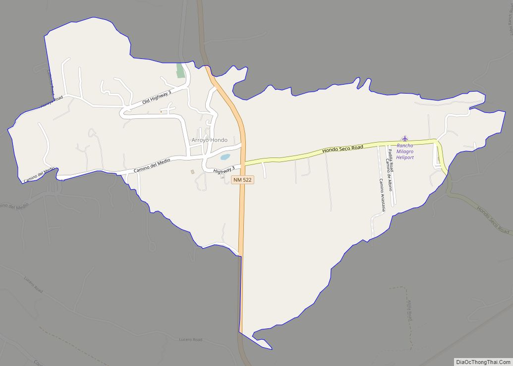
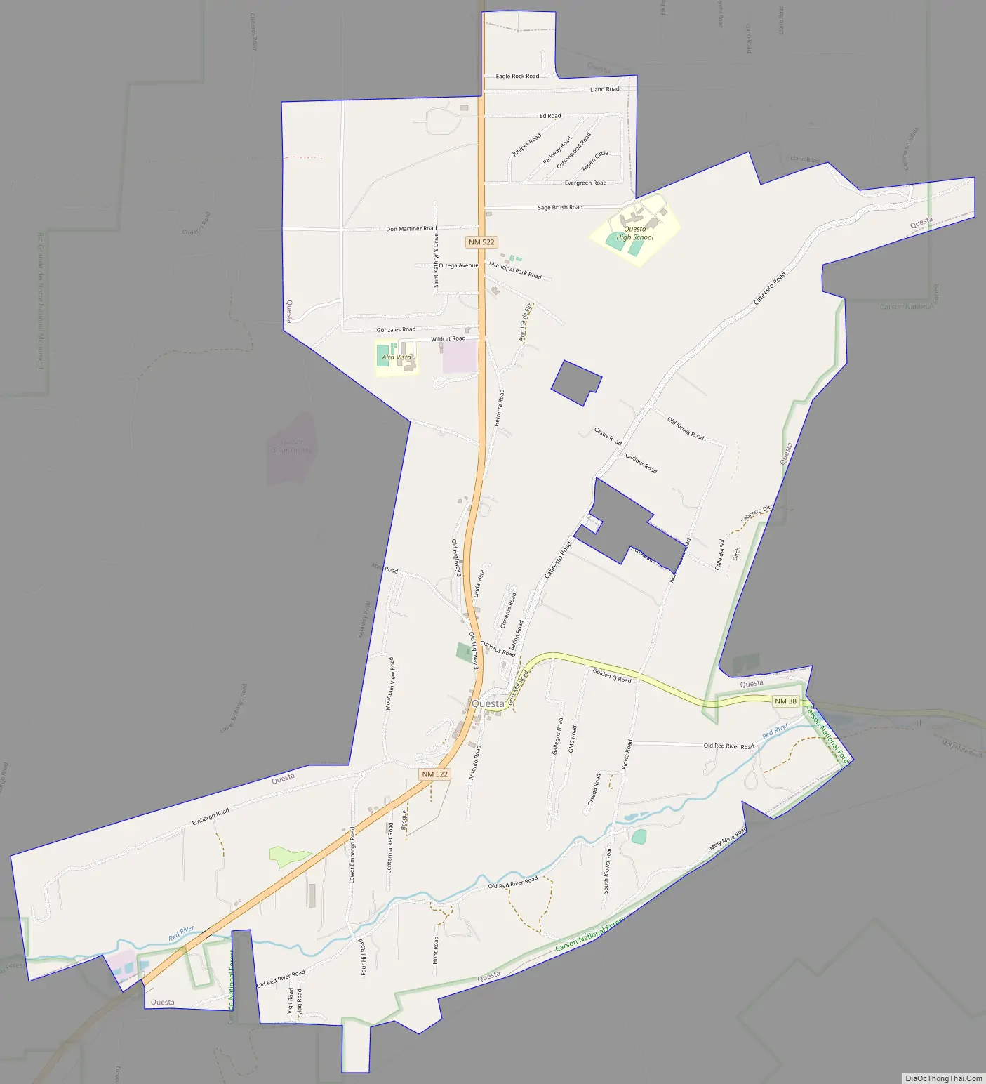
Questa Road Map
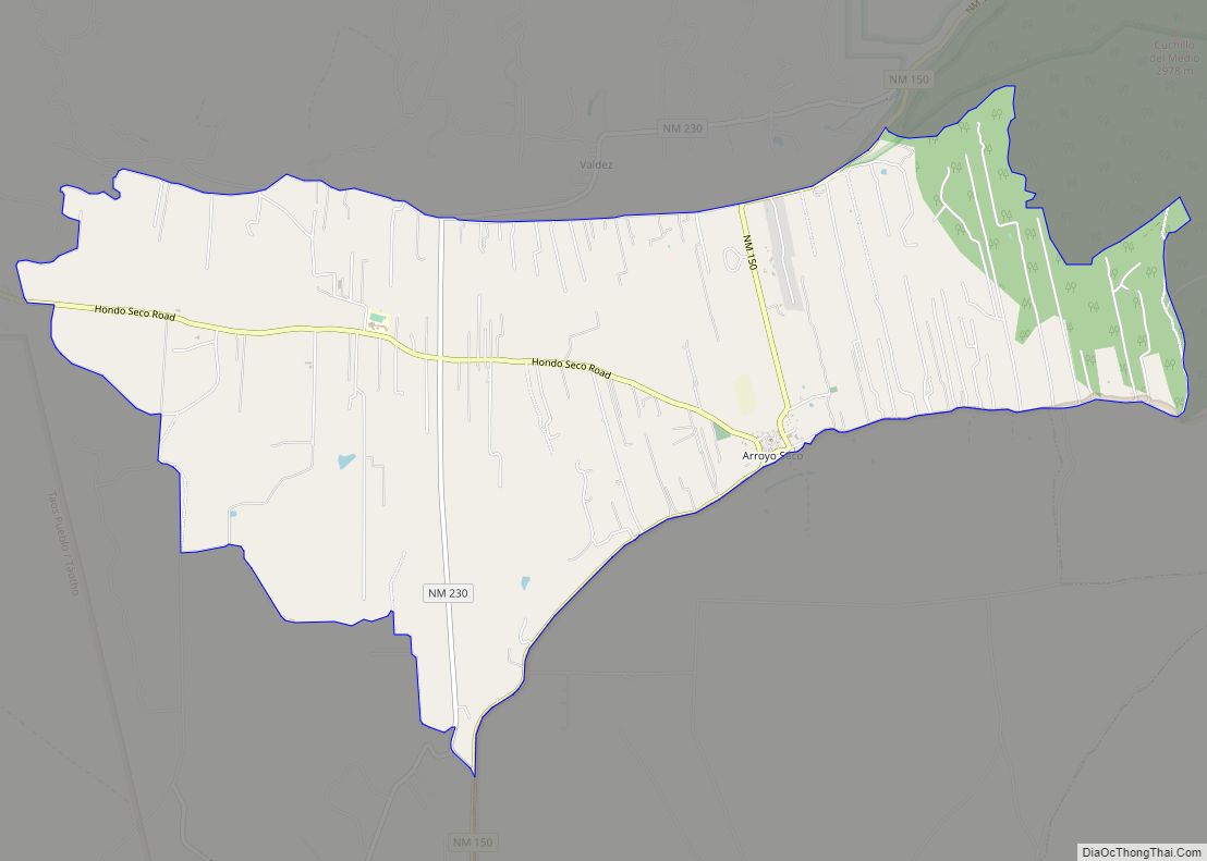
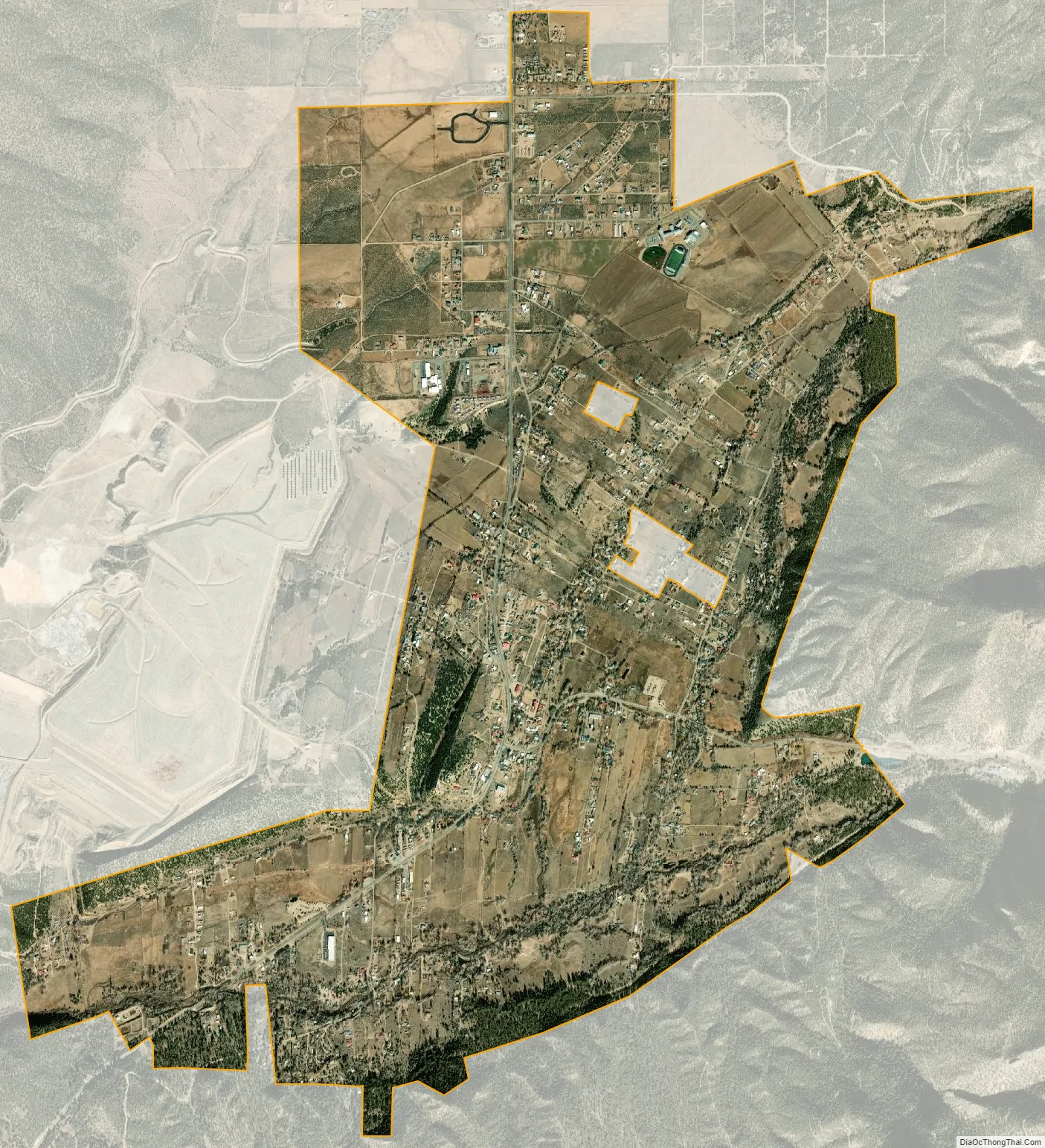
Questa city Satellite Map
Geography
Questa is at 36°42′23″N 105°35′35″W / 36.70639°N 105.59306°W / 36.70639; -105.59306 (36.706302, -105.593058).
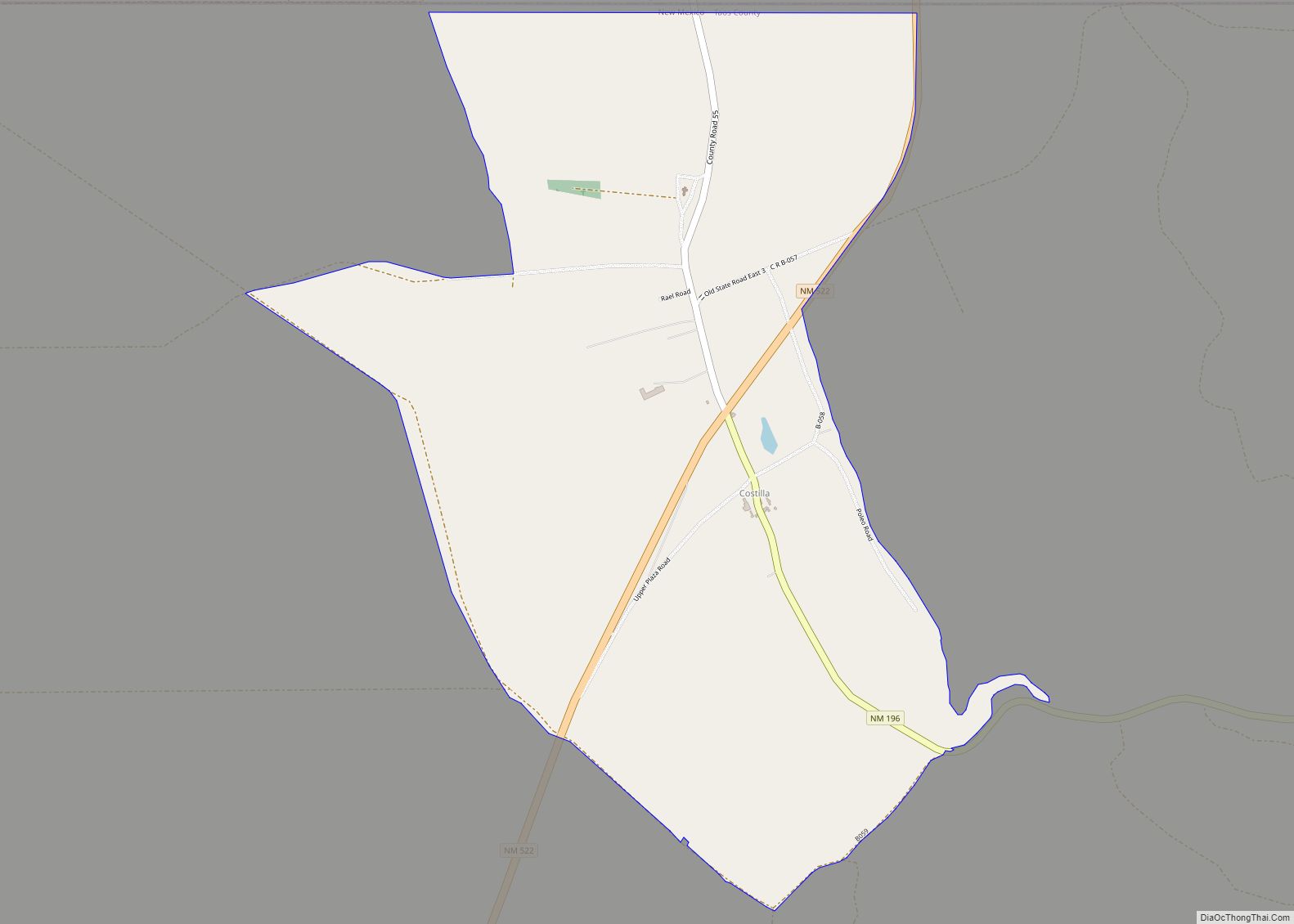
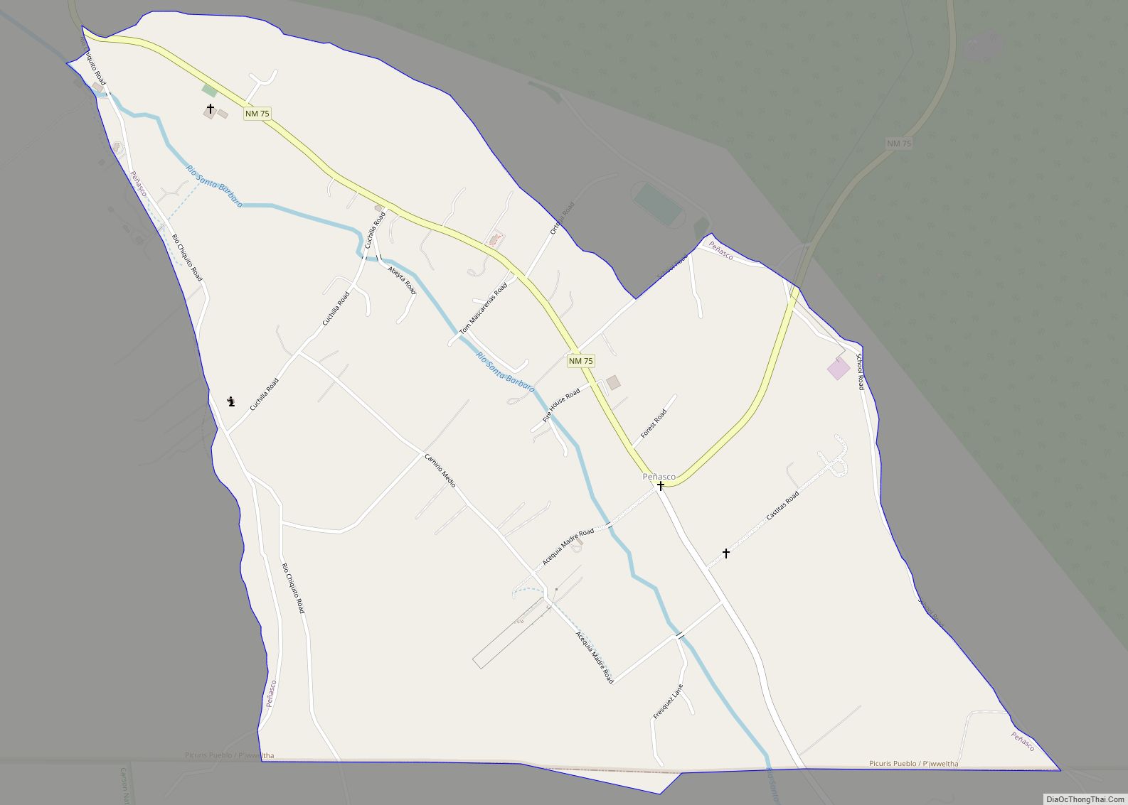
According to the United States Census Bureau, the village has a total area of 5.1 square miles (13 km), all land. The village is a regional hub for the smaller outlying communities of Lama, Cerro, Sunshine Valley, Latir, Costilla, and Amalia. Questa is surrounded by the Rio Grande del Norte National Monument to the west and the Carson National Forest to the East.
Questa lies at the western base of the Taos Mountains, part of the Sangre de Cristo Mountains. Rising above the town to the northeast is the Latir Peak massif, headed by Venado Peak, 12,734 ft (3,881 m); Pinabete Peak, a southwestern outlier of the group, rises closest to Questa. To the southeast lies Flag Mountain, a northwestern spur of the group of mountains that includes Wheeler Peak, the highest peak in New Mexico. To the north and west lie the Rio Grande Gorge, cutting a volcanic plateau dotted with several peaks of volcanic origin in the Rio Grande del Norte National Monument.
See also
Map of New Mexico State and its subdivision: Map of other states:- Alabama
- Alaska
- Arizona
- Arkansas
- California
- Colorado
- Connecticut
- Delaware
- District of Columbia
- Florida
- Georgia
- Hawaii
- Idaho
- Illinois
- Indiana
- Iowa
- Kansas
- Kentucky
- Louisiana
- Maine
- Maryland
- Massachusetts
- Michigan
- Minnesota
- Mississippi
- Missouri
- Montana
- Nebraska
- Nevada
- New Hampshire
- New Jersey
- New Mexico
- New York
- North Carolina
- North Dakota
- Ohio
- Oklahoma
- Oregon
- Pennsylvania
- Rhode Island
- South Carolina
- South Dakota
- Tennessee
- Texas
- Utah
- Vermont
- Virginia
- Washington
- West Virginia
- Wisconsin
- Wyoming