San Ildefonso Pueblo (Tewa: Pʼohwhogeh Ówîngeh [p’òhxʷógè ʔówîŋgè] “where the water cuts through”) is a census-designated place (CDP) in Santa Fe County, New Mexico, United States, and a federally recognized tribe, established c. 1300 C.E. The Pueblo is self-governing and is part of the Santa Fe, New Mexico Metropolitan Statistical Area. The population was 524 as of the 2010 census, reported by the State of New Mexico as 1,524 in 2012, and there were 628 enrolled tribal members reported as of 2012 according to the Department of the Interior. San Ildefonso Pueblo is a member of the Eight Northern Pueblos, and the pueblo people are from the Tewa ethnic group of Native Americans, who speak the Tewa language.
| Name: | San Ildefonso Pueblo CDP |
|---|---|
| LSAD Code: | 57 |
| LSAD Description: | CDP (suffix) |
| State: | New Mexico |
| County: | Santa Fe County |
| FIPS code: | 3568010 |
Online Interactive Map
Click on ![]() to view map in "full screen" mode.
to view map in "full screen" mode.
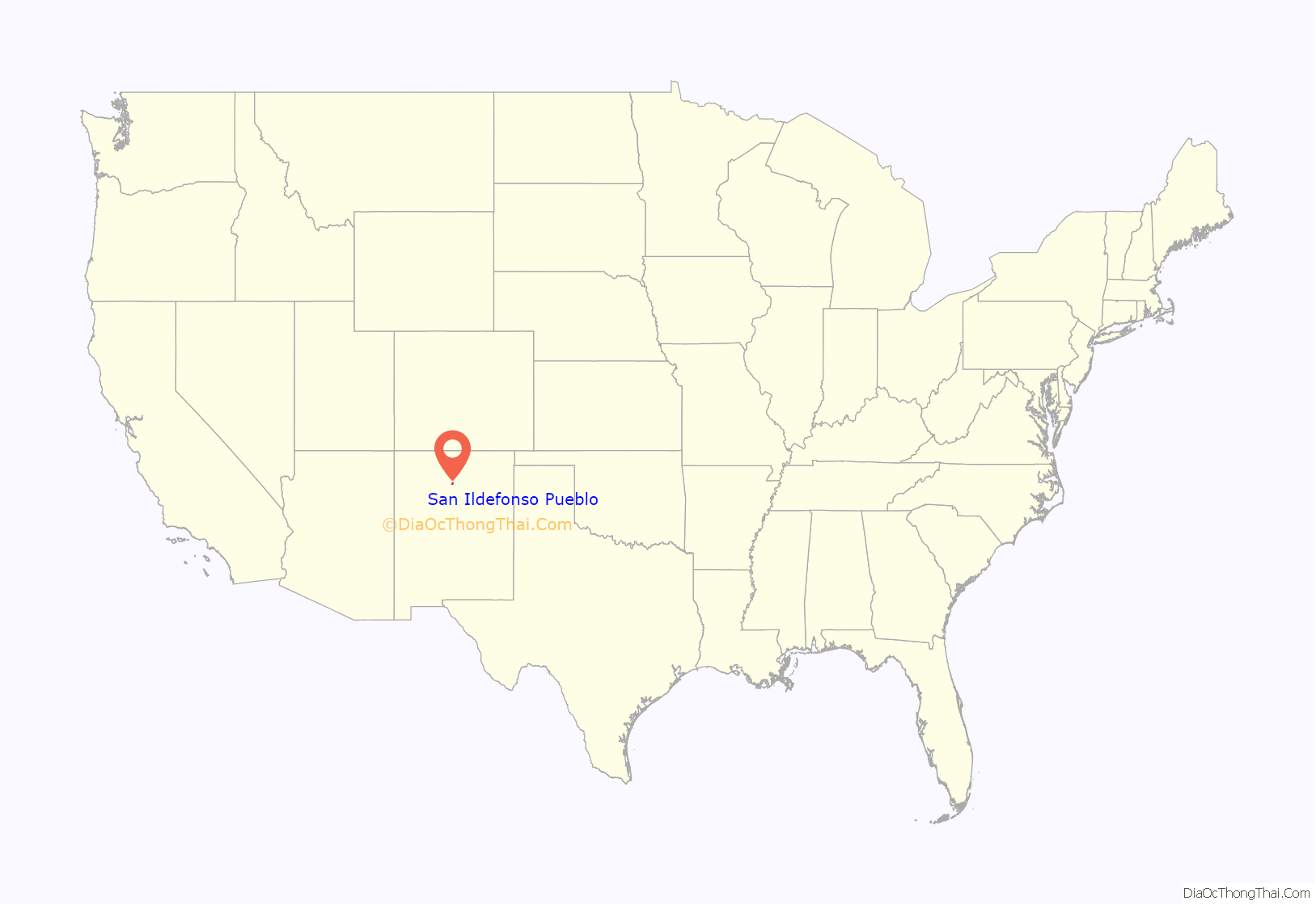
San Ildefonso Pueblo location map. Where is San Ildefonso Pueblo CDP?
History
The Pueblo was established around 1300 A.D. and founded by people who had migrated from the Mesa Verde complex in Southern Colorado, by way of Bandelier (elevation about 7000 feet), just south of present-day Los Alamos, New Mexico. People thrived at Bandelier due to the rainfall and the ease of constructing living structures from the surrounding soft volcanic rock. But after a prolonged drought, the people moved down into the valleys of the Rio Grande around 1300 C.E. (Pueblo IV Era). The Rio Grande and other arroyos provided the water for irrigation.
The Spanish conquistadors tried to subdue the native people and force Catholicism on the native people during the early 17th century, which led to the Pueblo Revolt of 1680. The people withstood the Spaniards by climbing to the top of the Black Mesa. The siege ended with the surrender of the native people, but the Spanish gave the native people some freedom of religion and other self-governing rights.
Both the people and the lands of the Pueblo of San Ildefonso were affected by intrusion of Spanish colonists. Due to these encroachments, by the 1760s some native families reported that they had no agricultural lands to support themselves. Part of their lands were restored to San Ildefonso by a 1786 decision of Governor Juan Bautista de Anza. Mexico took control of the area in 1821, and later the United States gained control in 1848 following the Treaty of Guadalupe Hidalgo. Congress created the modern reservation in 1858 confirming a grant of 17,292 acres of land to the pueblo, and the grant was patented in 1864.
By the time the land was patented under the laws of the United States in 1864, there were only 161 pueblo members left. A smallpox outbreak in 1918 took the population below 100. The people of San Ildefonso continued to lead an agricultural based economy until the early 20th century when Maria Martinez and her husband Julian Martinez rediscovered how to make the Black-on-Black pottery for which San Ildefonso Pueblo would soon become famous. From that time the Pueblo has become more tourist-oriented, with numerous tourist shops. Because of close proximity to the state capital, Santa Fe, and the presence of the Los Alamos National Laboratory, many of those employed in the pueblo have state or federal government jobs.
San Ildefonso Pueblo Road Map
San Ildefonso Pueblo city Satellite Map
Geography
San Ildefonso is located at 35°53′52″N 106°7′19″W / 35.89778°N 106.12194°W / 35.89778; -106.12194 (35.897902, -106.121834).
According to the United States Census Bureau, the pueblo has a total area of 4.2 square miles (11 km), of which 3.9 square miles (10 km) is land and 0.2 square miles (0.52 km) (5.54%) is water.
San Ildefonso Pueblo is located at the foot of Black Mesa.
See also
Map of New Mexico State and its subdivision: Map of other states:- Alabama
- Alaska
- Arizona
- Arkansas
- California
- Colorado
- Connecticut
- Delaware
- District of Columbia
- Florida
- Georgia
- Hawaii
- Idaho
- Illinois
- Indiana
- Iowa
- Kansas
- Kentucky
- Louisiana
- Maine
- Maryland
- Massachusetts
- Michigan
- Minnesota
- Mississippi
- Missouri
- Montana
- Nebraska
- Nevada
- New Hampshire
- New Jersey
- New Mexico
- New York
- North Carolina
- North Dakota
- Ohio
- Oklahoma
- Oregon
- Pennsylvania
- Rhode Island
- South Carolina
- South Dakota
- Tennessee
- Texas
- Utah
- Vermont
- Virginia
- Washington
- West Virginia
- Wisconsin
- Wyoming
