San Jon (/ˌsæn ˈhoʊn/) is a village in Quay County, New Mexico, United States. The population was 216 at the 2010 census.
| Name: | San Jon village |
|---|---|
| LSAD Code: | 47 |
| LSAD Description: | village (suffix) |
| State: | New Mexico |
| County: | Quay County |
| Elevation: | 4,032 ft (1,229 m) |
| Total Area: | 2.93 sq mi (7.58 km²) |
| Land Area: | 2.93 sq mi (7.58 km²) |
| Water Area: | 0.00 sq mi (0.00 km²) |
| Total Population: | 195 |
| Population Density: | 66.60/sq mi (25.71/km²) |
| ZIP code: | 88411, 88434 |
| Area code: | 575 |
| FIPS code: | 3568150 |
| GNISfeature ID: | 0894426 |
Online Interactive Map
Click on ![]() to view map in "full screen" mode.
to view map in "full screen" mode.
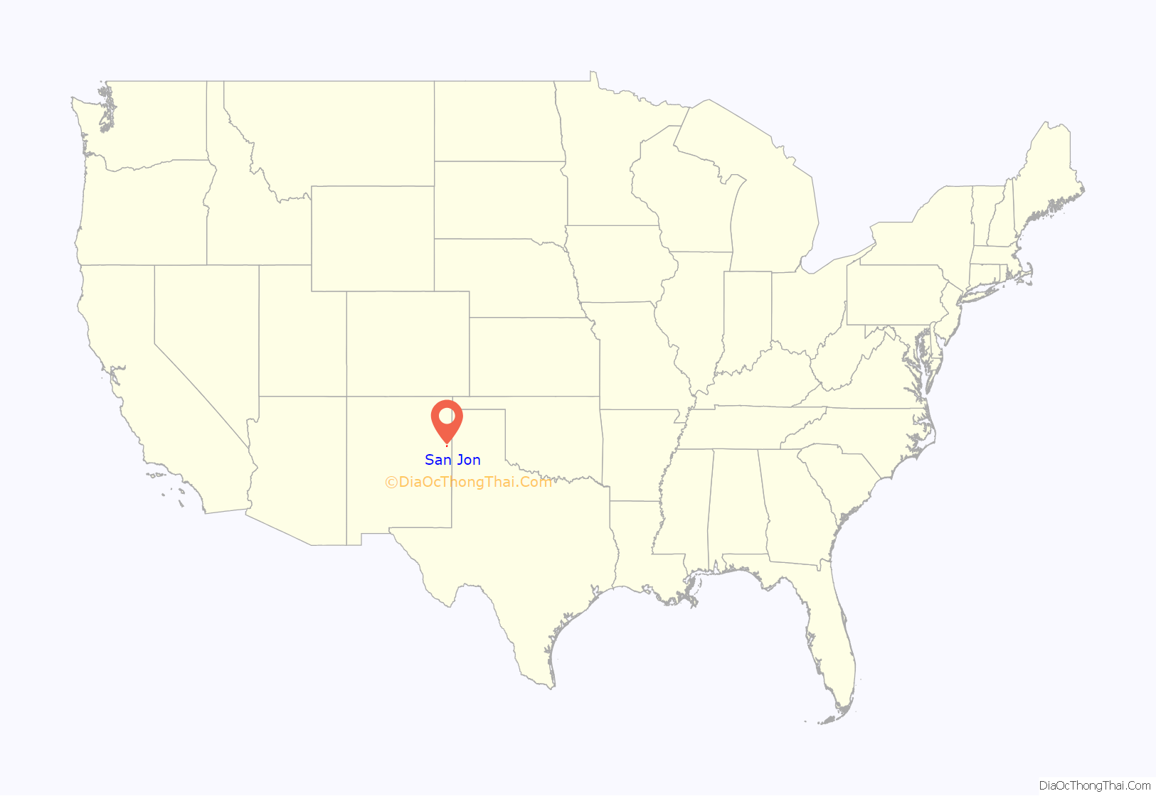
San Jon location map. Where is San Jon village?
History
The village was founded in 1902 and grew after the arrival of the railroad in 1904. It was once an important local commercial center and stop on U.S. Route 66 and home to numerous tourist-oriented businesses, such as gasoline service stations, cafes and motels. However, when Interstate 40 bypassed the village in 1981, the local economy went into a decline, leading most of those businesses to shut down. Today, only one motel is still in operation and all of the gas stations and dining establishments are centered around the I-40 interchange on the north side of town. Some former establishments were The Old Route 66 Truck and Auto Parts garage, Smith’s Café, the Circle M Motel.
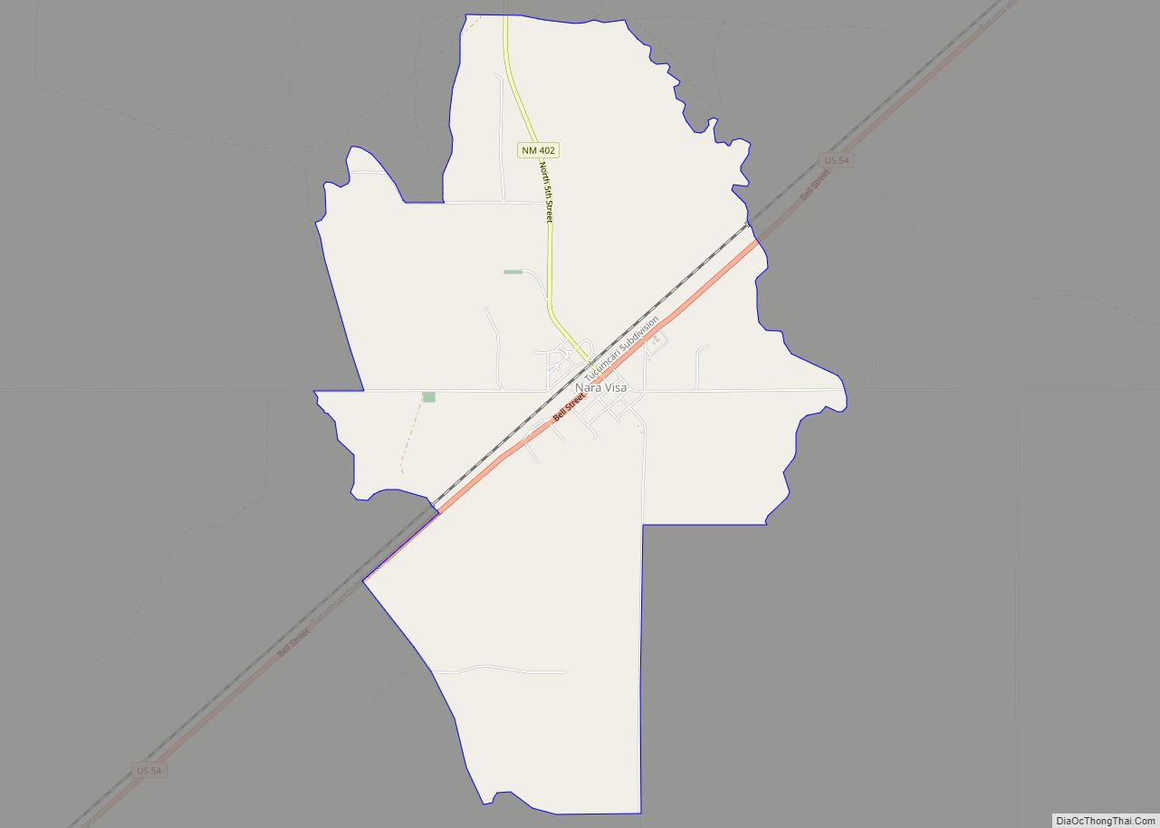
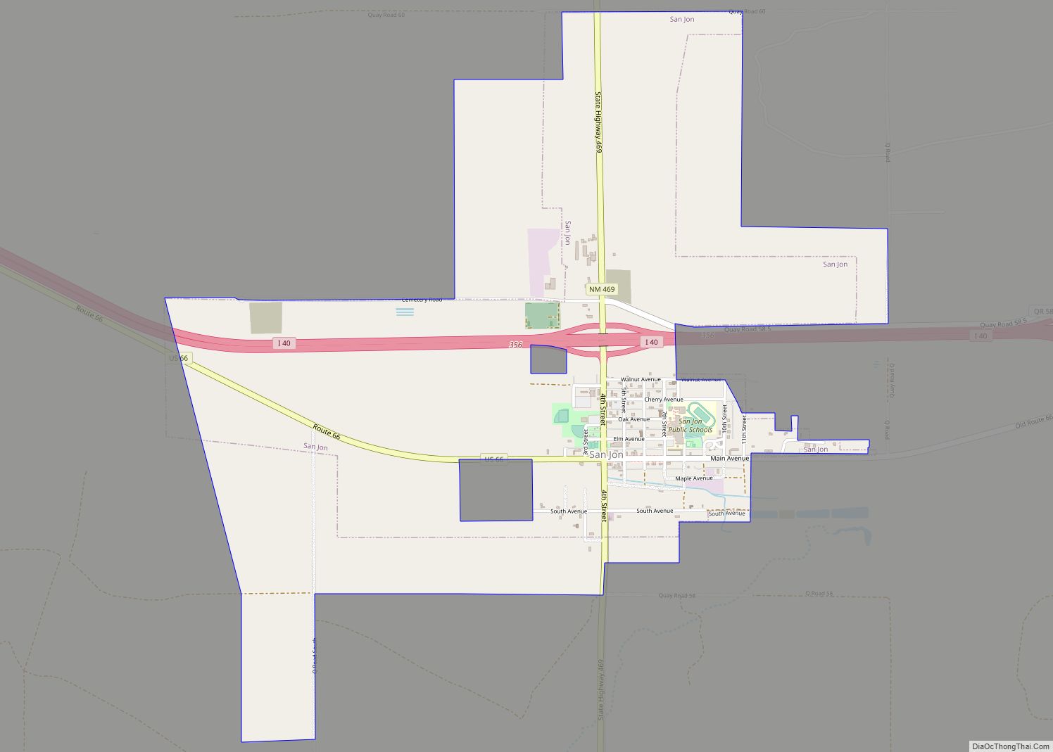
San Jon Road Map
San Jon city Satellite Map
Geography
San Jon is located at 35°6′27″N 103°19′49″W / 35.10750°N 103.33028°W / 35.10750; -103.33028 (35.107614, -103.330396).
According to the United States Census Bureau, the village has a total area of 2.6 square miles (6.7 km), all land.
The village is located on I-40 at New Mexico State Highway 469 and is east of Tucumcari.
Northern escarpment of the Llano Estacado, located 14 km south of San Jon, Eastern New Mexico
Road cut south of San Jon on New Mexico State Highway 469 as it crosses the caprock escarpment at the northern edge of the Llano Estacado.
View of San Jon, looking north from the caprock escarpment of the Llano Estacado
The lone motel of San Jon, established in 1946.
Climate
According to the Köppen Climate Classification system, San Jon has a cold semi-arid climate, abbreviated “BSk” on climate maps. The hottest temperature recorded in San Jon was 111 °F (43.9 °C) on July 11, 2020 and July 13, 2020, while the coldest temperature recorded was −20 °F (−28.9 °C) on January 1, 1919.
See also
Map of New Mexico State and its subdivision: Map of other states:- Alabama
- Alaska
- Arizona
- Arkansas
- California
- Colorado
- Connecticut
- Delaware
- District of Columbia
- Florida
- Georgia
- Hawaii
- Idaho
- Illinois
- Indiana
- Iowa
- Kansas
- Kentucky
- Louisiana
- Maine
- Maryland
- Massachusetts
- Michigan
- Minnesota
- Mississippi
- Missouri
- Montana
- Nebraska
- Nevada
- New Hampshire
- New Jersey
- New Mexico
- New York
- North Carolina
- North Dakota
- Ohio
- Oklahoma
- Oregon
- Pennsylvania
- Rhode Island
- South Carolina
- South Dakota
- Tennessee
- Texas
- Utah
- Vermont
- Virginia
- Washington
- West Virginia
- Wisconsin
- Wyoming
