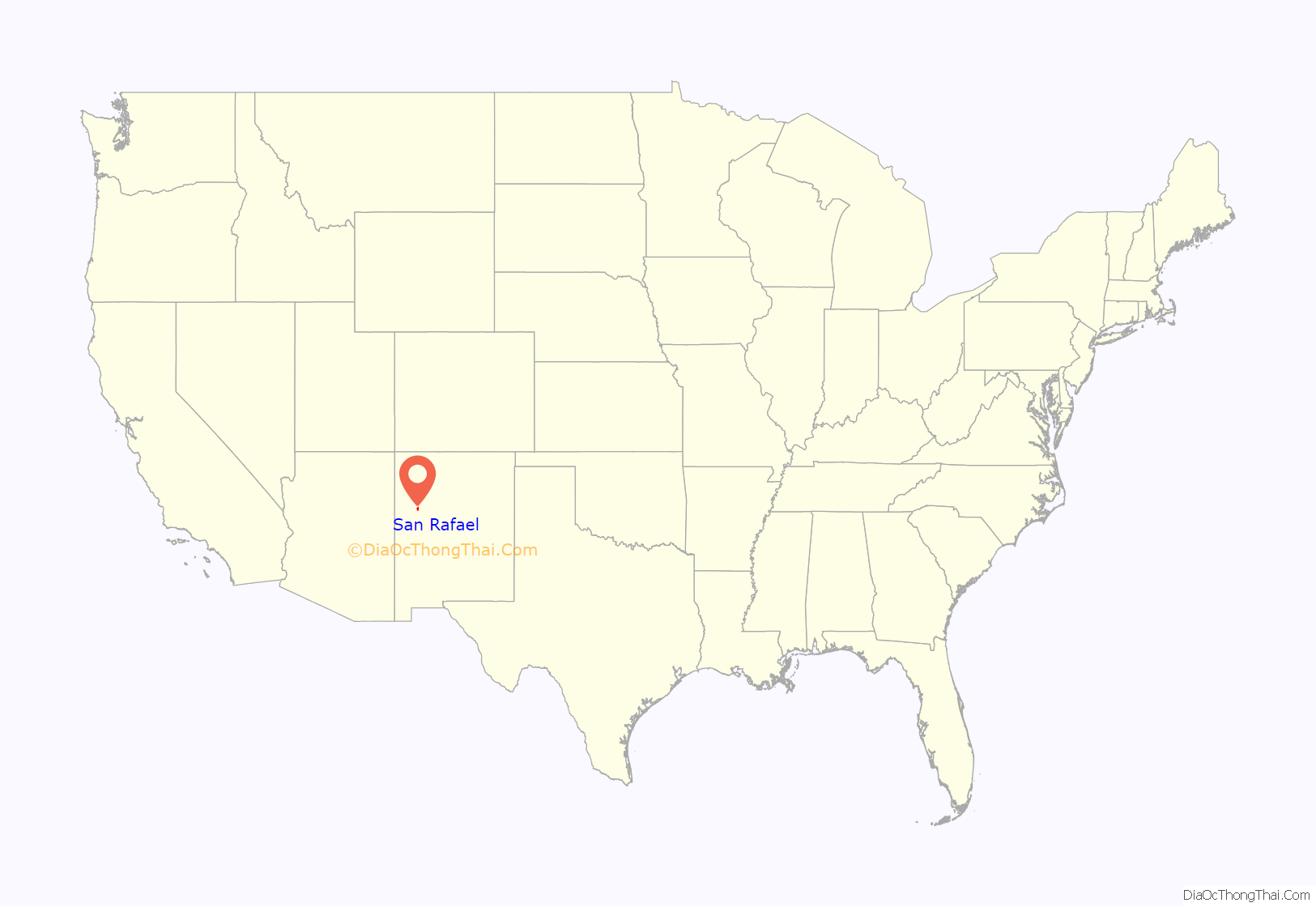
San Rafael is a census-designated place (CDP) in Cibola County, New Mexico, United States. As of the 2010 census it had a population of 933. Also known as “Bikyaya” or “El Gallo”, it lies at an elevation of 6,470 feet (1,970 m) above sea level and is located in north-central Cibola County at (35.1125386, -107.8825580). New Mexico State Road 53 passes through the community, leading north 3 miles (5 km) to Interstate 40 and 5 miles (8 km) to the center of Grants, the county seat.
An 1850 U.S. Army map shows a Hay Camp near San Rafael. Fort Wingate was established (moved from Seboyeta, New Mexico) by Lt. Colonel J. Francisco Chavez, 1st New Mexico Infantry under the orders of General Edward Canby in 1862. It was located near a large spring and designed to house four companies of troops. Colonel Kit Carson and four companies of New Mexico Volunteers used this fort. Carson was ordered by General Carleton to round up first the Mescalero Apache, then the Navajo and send them to Bosque Redondo. San Rafael was a stop on the Navajo’s journey to and from Fort Sumner. In 1868 the garrison and name of the fort was transferred to the former site of Fort Lyon, near Gallup.
| Name: | San Rafael CDP |
|---|---|
| LSAD Code: | 57 |
| LSAD Description: | CDP (suffix) |
| State: | New Mexico |
| County: | Cibola County |
| Total Area: | 15.75 sq mi (40.79 km²) |
| Land Area: | 15.75 sq mi (40.79 km²) |
| Water Area: | 0.00 sq mi (0.00 km²) |
| Total Population: | 1,164 |
| Population Density: | 73.91/sq mi (28.54/km²) |
| FIPS code: | 3569875 |
Online Interactive Map
Click on ![]() to view map in "full screen" mode.
to view map in "full screen" mode.
San Rafael location map. Where is San Rafael CDP?
San Rafael Road Map
San Rafael city Satellite Map
See also
Map of New Mexico State and its subdivision: Map of other states:- Alabama
- Alaska
- Arizona
- Arkansas
- California
- Colorado
- Connecticut
- Delaware
- District of Columbia
- Florida
- Georgia
- Hawaii
- Idaho
- Illinois
- Indiana
- Iowa
- Kansas
- Kentucky
- Louisiana
- Maine
- Maryland
- Massachusetts
- Michigan
- Minnesota
- Mississippi
- Missouri
- Montana
- Nebraska
- Nevada
- New Hampshire
- New Jersey
- New Mexico
- New York
- North Carolina
- North Dakota
- Ohio
- Oklahoma
- Oregon
- Pennsylvania
- Rhode Island
- South Carolina
- South Dakota
- Tennessee
- Texas
- Utah
- Vermont
- Virginia
- Washington
- West Virginia
- Wisconsin
- Wyoming
