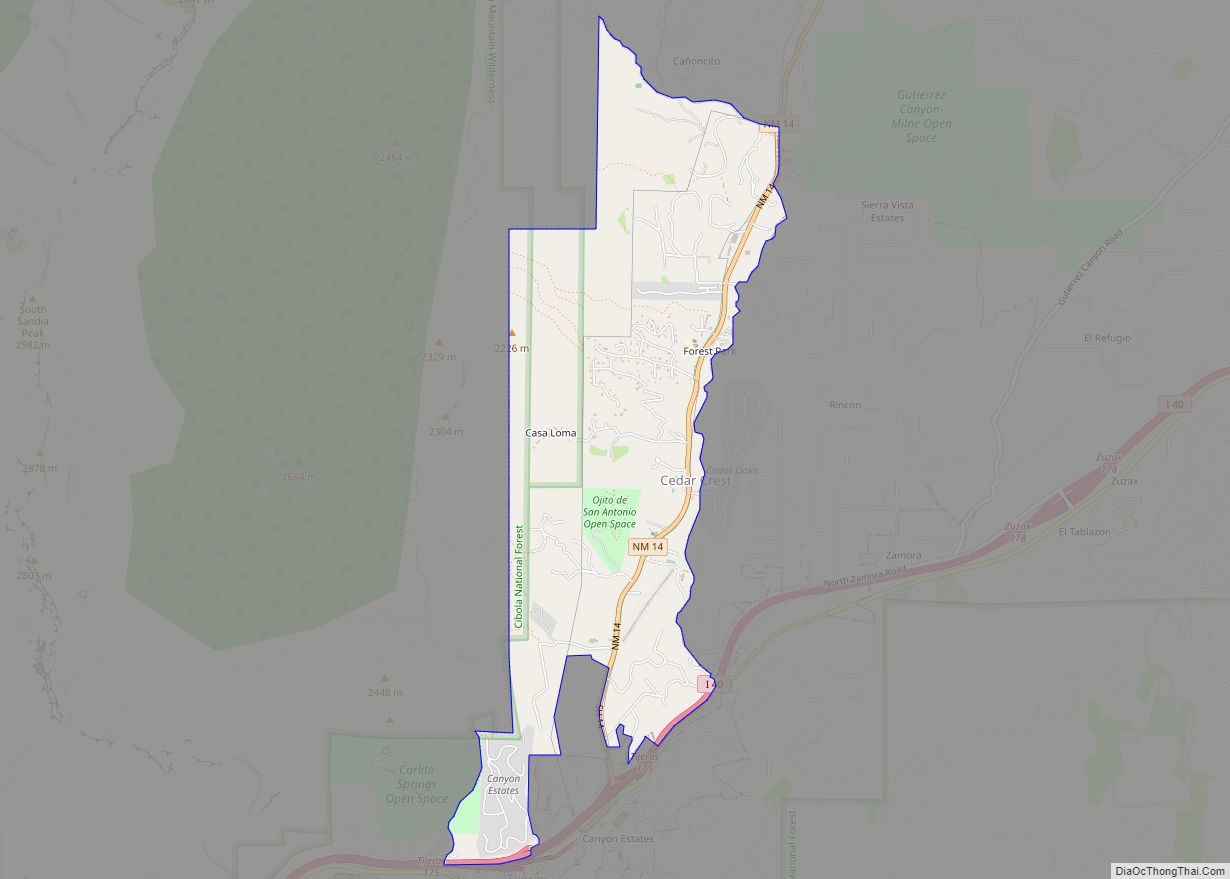
Sandia Heights is a census-designated place (CDP) in Bernalillo County, New Mexico, United States. The population was 10,293 at the 2010 census. It is part of the Albuquerque Metropolitan Statistical Area.
| Name: | Sandia Heights CDP |
|---|---|
| LSAD Code: | 57 |
| LSAD Description: | CDP (suffix) |
| State: | New Mexico |
| County: | Bernalillo County |
| Elevation: | 6,180 ft (1,880 m) |
| Total Area: | 1.89 sq mi (4.88 km²) |
| Land Area: | 1.89 sq mi (4.88 km²) |
| Water Area: | 0.00 sq mi (0.00 km²) |
| Total Population: | 3,273 |
| Population Density: | 1,735.42/sq mi (670.06/km²) |
| ZIP code: | 87122 |
| Area code: | 505 |
| FIPS code: | 3566765 |
| GNISfeature ID: | 1867388 |
Online Interactive Map
Click on ![]() to view map in "full screen" mode.
to view map in "full screen" mode.
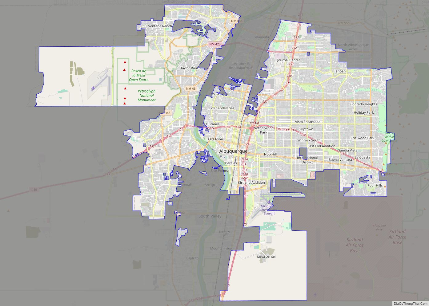
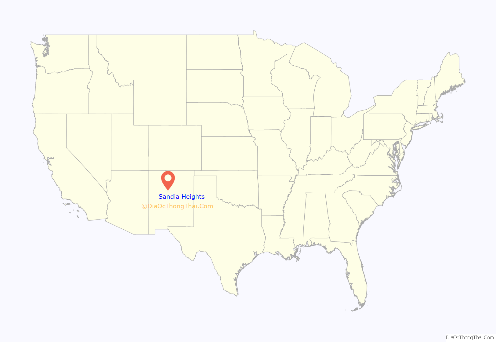
Sandia Heights location map. Where is Sandia Heights CDP?
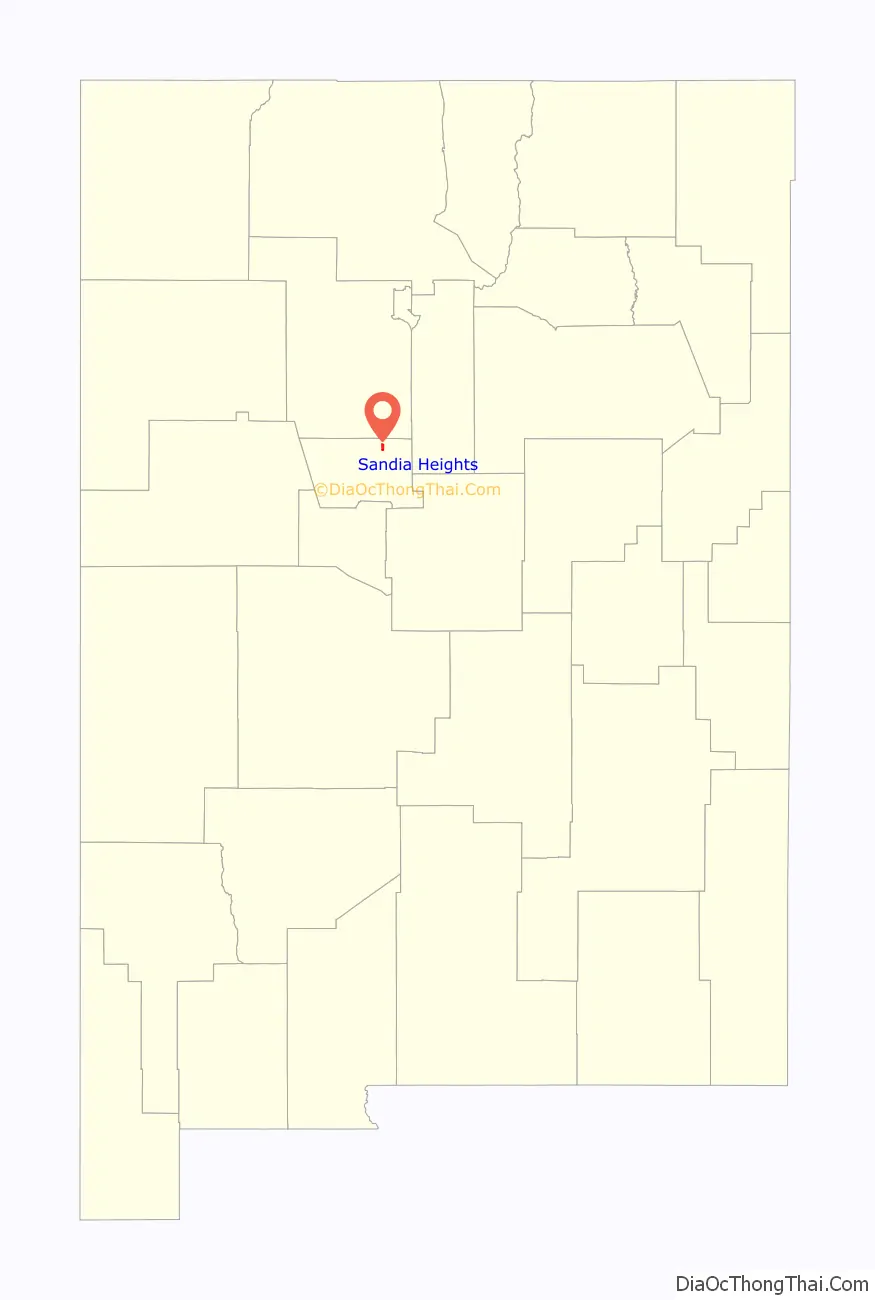
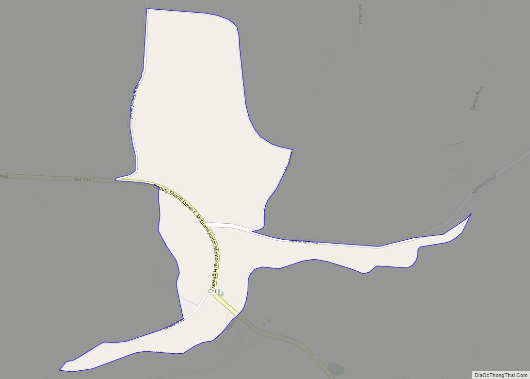
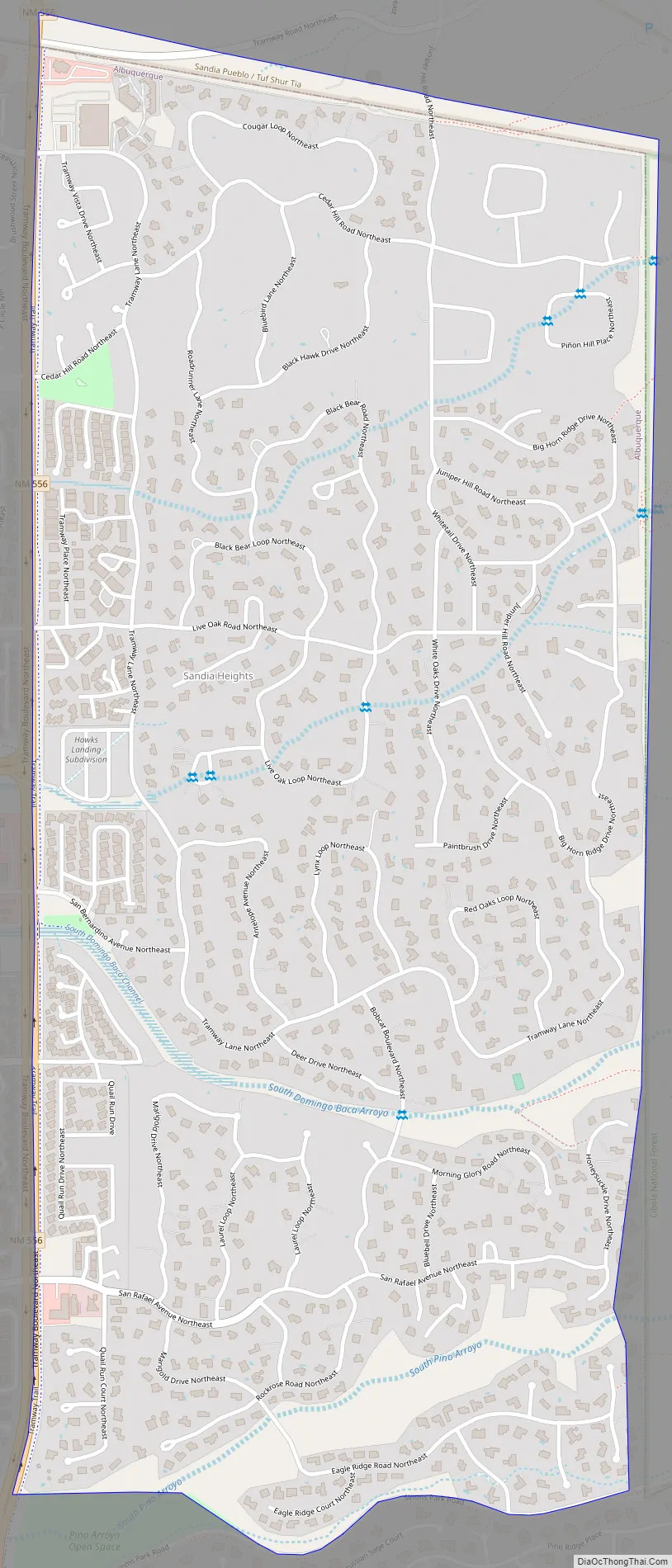
Sandia Heights Road Map
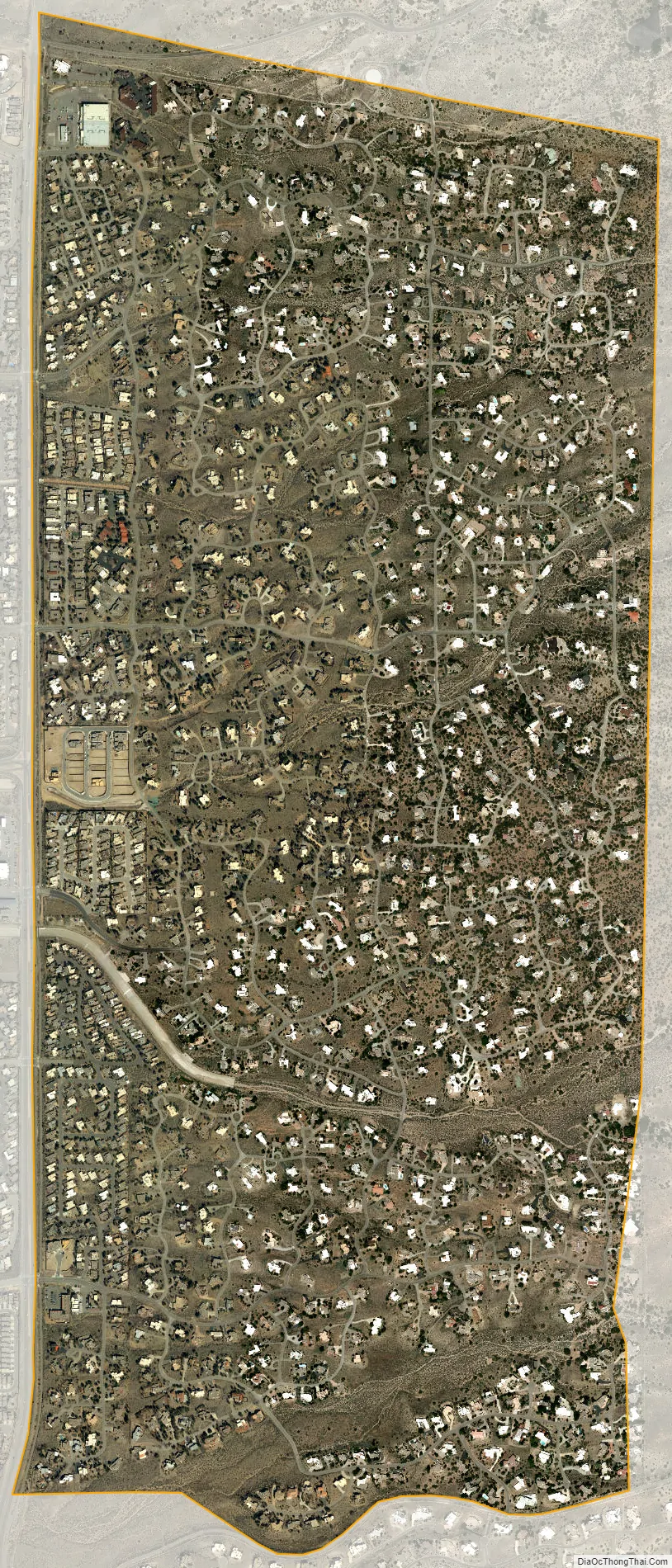
Sandia Heights city Satellite Map
Geography
Sandia Heights is located in northern Bernalillo County at the western base of the Sandia Mountains. It is bordered to the south by the city of Albuquerque. The base station for the Sandia Peak Tramway is located just outside the northern edge of the CDP.
According to the United States Census Bureau, Sandia Heights has a total area of 1.9 square miles (5.0 km), all land.
Climate
Sandia Heights is categorized as being within the 7b USDA hardiness zone, meaning temperatures can get as low as 5 to 10 °F.
See also
Map of New Mexico State and its subdivision: Map of other states:- Alabama
- Alaska
- Arizona
- Arkansas
- California
- Colorado
- Connecticut
- Delaware
- District of Columbia
- Florida
- Georgia
- Hawaii
- Idaho
- Illinois
- Indiana
- Iowa
- Kansas
- Kentucky
- Louisiana
- Maine
- Maryland
- Massachusetts
- Michigan
- Minnesota
- Mississippi
- Missouri
- Montana
- Nebraska
- Nevada
- New Hampshire
- New Jersey
- New Mexico
- New York
- North Carolina
- North Dakota
- Ohio
- Oklahoma
- Oregon
- Pennsylvania
- Rhode Island
- South Carolina
- South Dakota
- Tennessee
- Texas
- Utah
- Vermont
- Virginia
- Washington
- West Virginia
- Wisconsin
- Wyoming