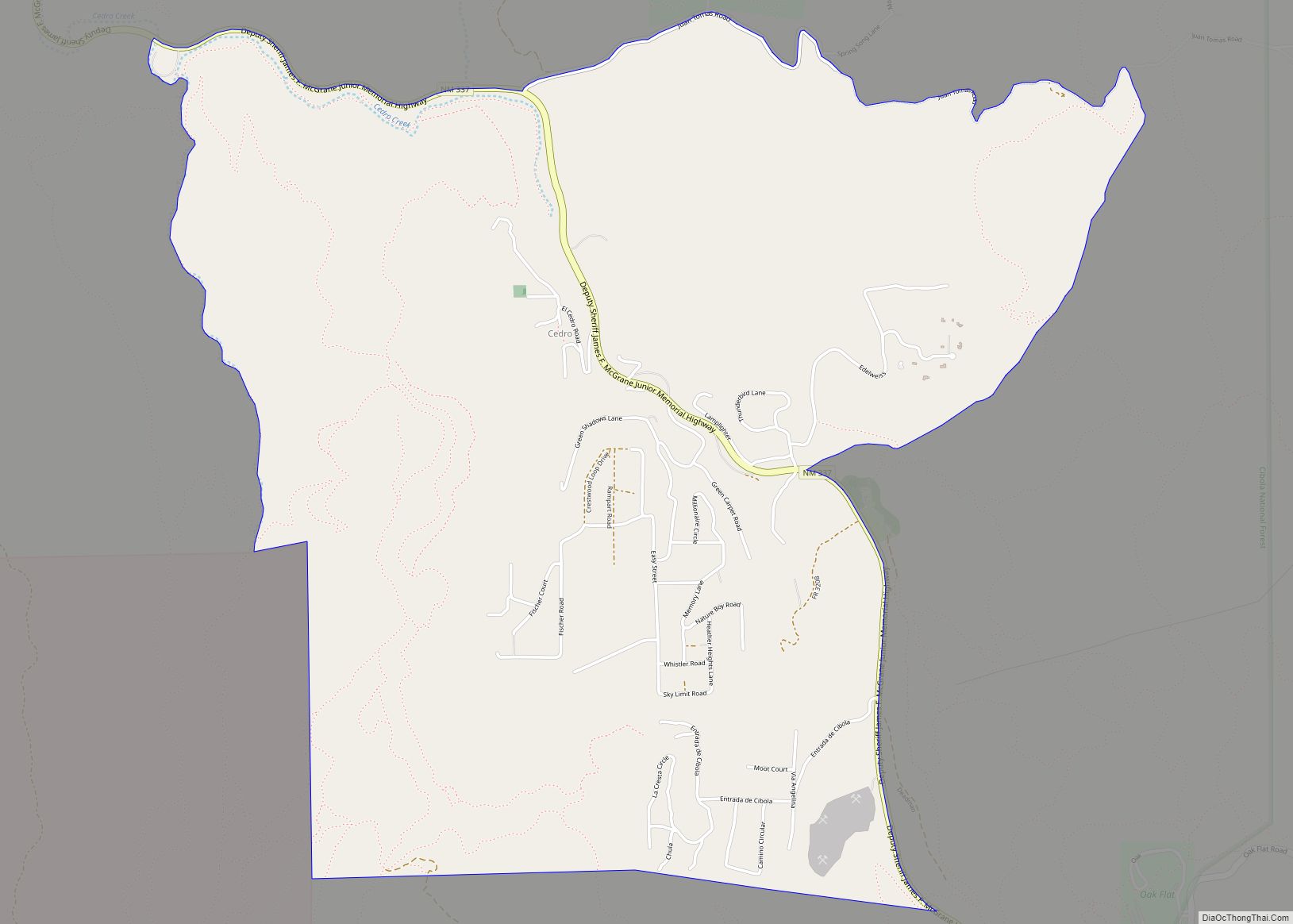
Sandia Knolls is a census-designated place (CDP) in Bernalillo County, New Mexico, United States. The population was 1,208 at the 2010 census. It is part of the Albuquerque Metropolitan Statistical Area.
| Name: | Sandia Knolls CDP |
|---|---|
| LSAD Code: | 57 |
| LSAD Description: | CDP (suffix) |
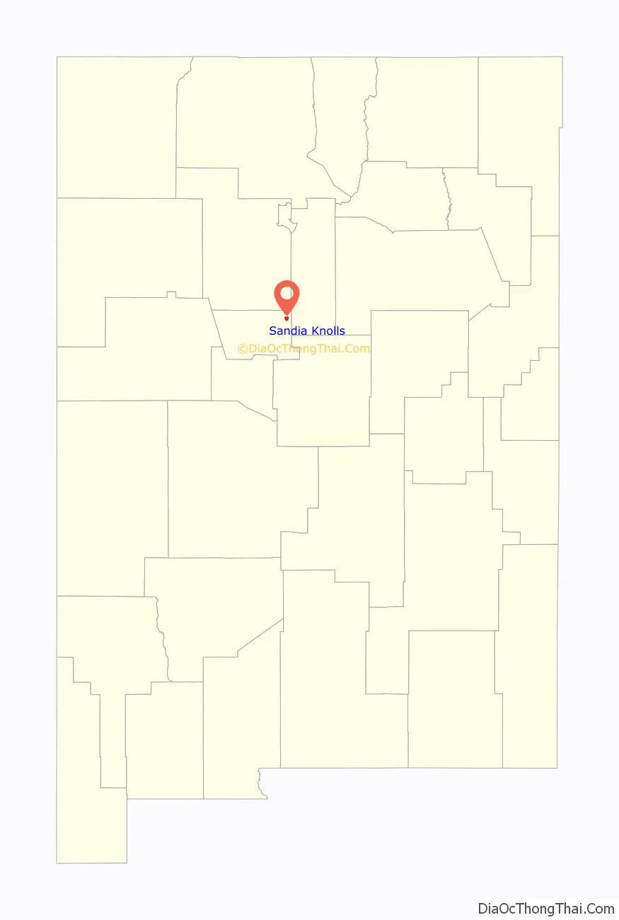
| State: | New Mexico |
| County: | Bernalillo County |
| Elevation: | 6,820 ft (2,080 m) |
| Total Area: | 2.80 sq mi (7.26 km²) |
| Land Area: | 2.80 sq mi (7.26 km²) |
| Water Area: | 0.00 sq mi (0.00 km²) |
| Total Population: | 1,252 |
| Population Density: | 446.66/sq mi (172.48/km²) |
| Area code: | 505 |
| FIPS code: | 3566890 |
| GNISfeature ID: | 0929164 |
Online Interactive Map
Click on ![]() to view map in "full screen" mode.
to view map in "full screen" mode.
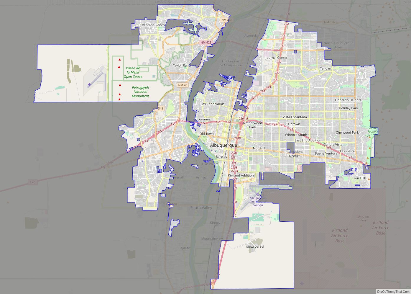
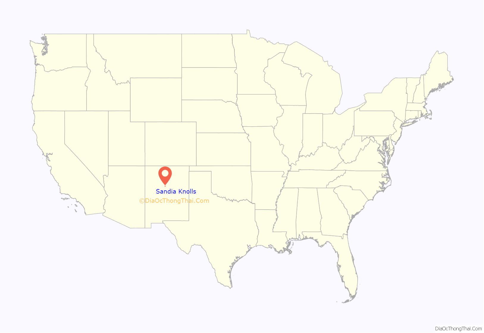
Sandia Knolls location map. Where is Sandia Knolls CDP?
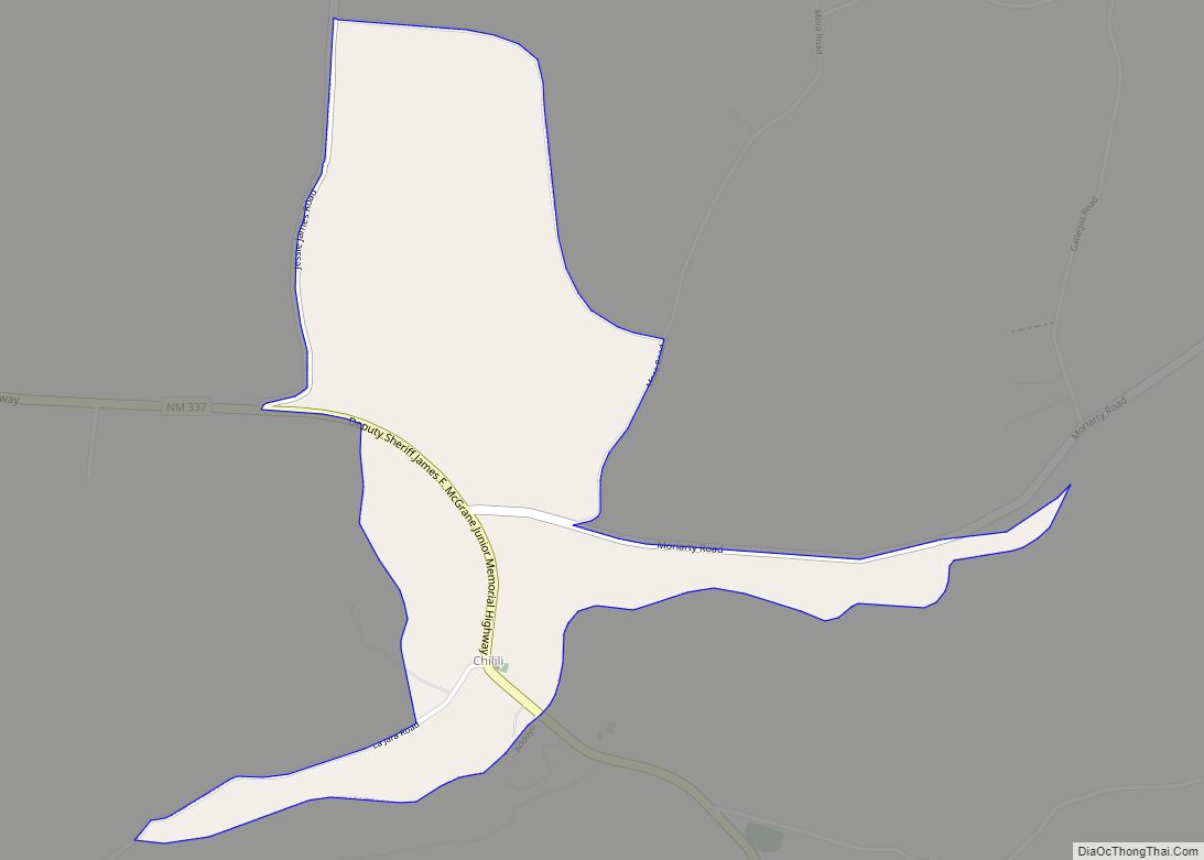
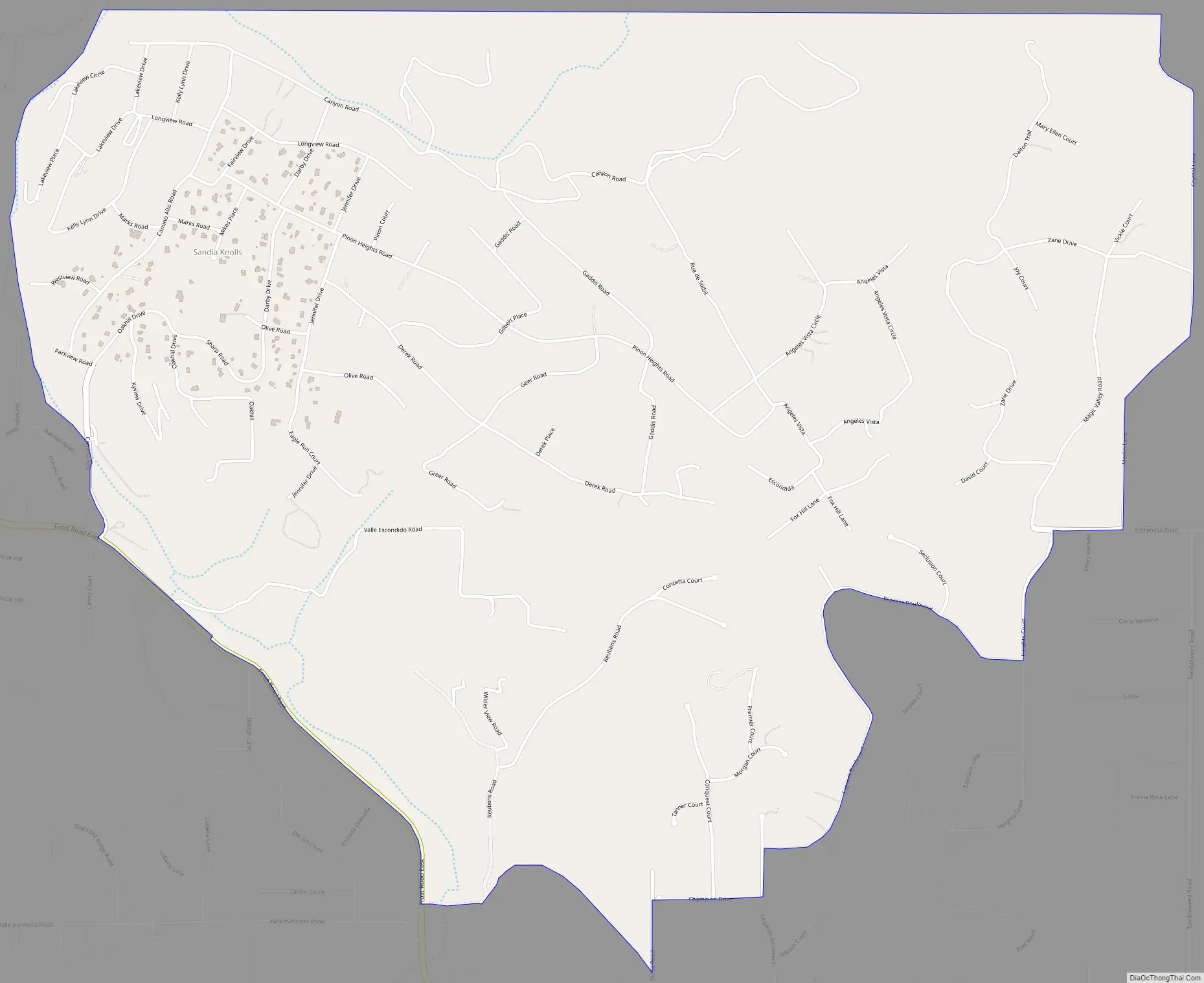
Sandia Knolls Road Map
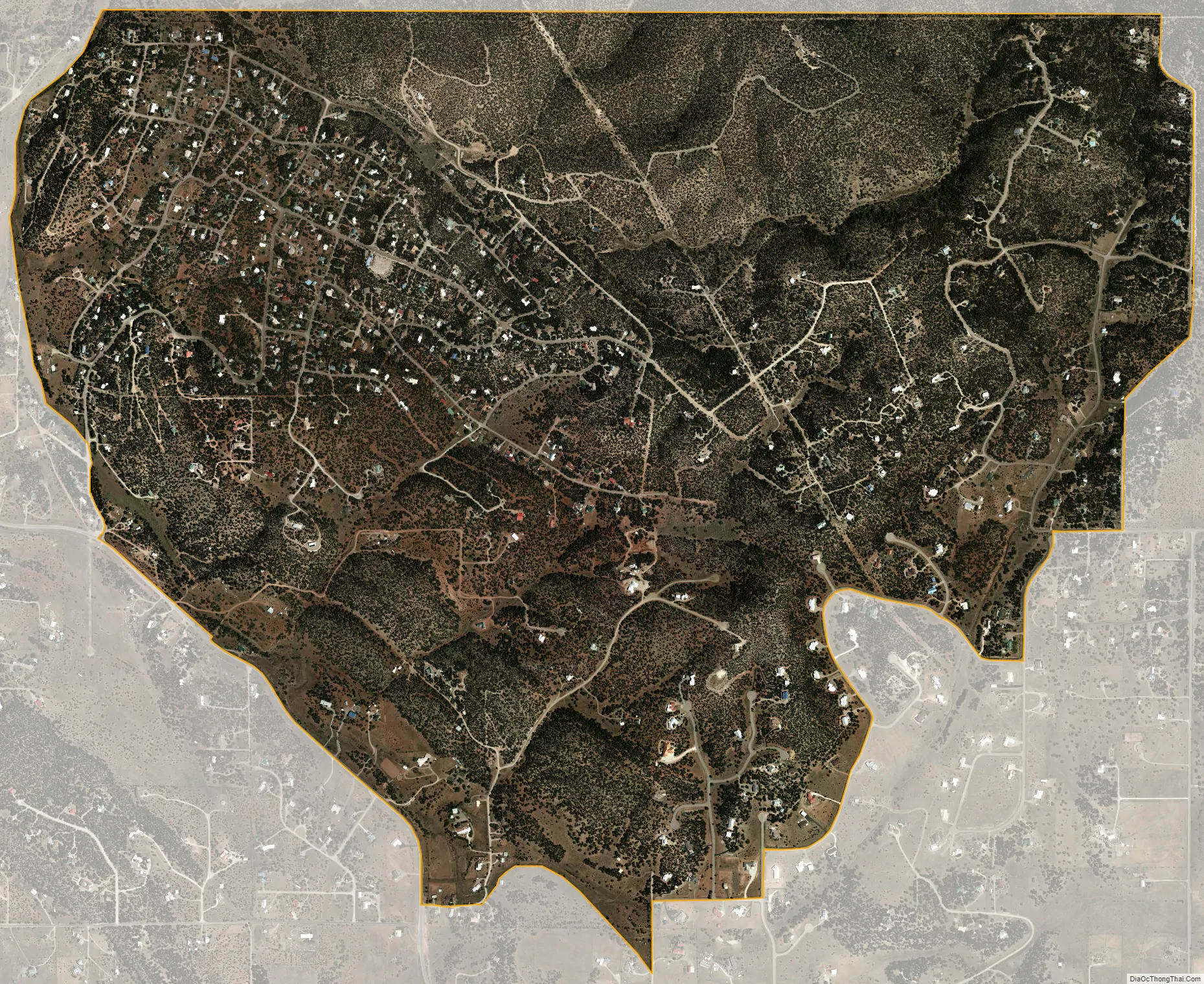
Sandia Knolls city Satellite Map
Geography
Sandia Knolls is located in northeastern Bernalillo County, at the southern end of a small mountain known as Monte Largo, east of the Sandia Mountains. It is bordered to the north by an undeveloped portion of the town of Edgewood, and the CDPs of San Antonito and Sandia Park are 3 miles (5 km) to the west.
According to the United States Census Bureau, the Sandia Knolls CDP has a total area of 2.8 square miles (7.2 km), all land.
See also
Map of New Mexico State and its subdivision: Map of other states:- Alabama
- Alaska
- Arizona
- Arkansas
- California
- Colorado
- Connecticut
- Delaware
- District of Columbia
- Florida
- Georgia
- Hawaii
- Idaho
- Illinois
- Indiana
- Iowa
- Kansas
- Kentucky
- Louisiana
- Maine
- Maryland
- Massachusetts
- Michigan
- Minnesota
- Mississippi
- Missouri
- Montana
- Nebraska
- Nevada
- New Hampshire
- New Jersey
- New Mexico
- New York
- North Carolina
- North Dakota
- Ohio
- Oklahoma
- Oregon
- Pennsylvania
- Rhode Island
- South Carolina
- South Dakota
- Tennessee
- Texas
- Utah
- Vermont
- Virginia
- Washington
- West Virginia
- Wisconsin
- Wyoming