Shiprock (Navajo: Naatʼáanii Nééz) is an unincorporated community on the Navajo reservation in San Juan County, New Mexico, United States. The population was 7,718 people in the 2020 census. For statistical purposes, the United States Census Bureau has defined Shiprock as a census-designated place (CDP). It is part of the Farmington Metropolitan Statistical Area.
Shiprock is named after the nearby Shiprock rock formation. Since 1903, the town has been called Naat’áanii Nééz (meaning “tall leader” in the Navajo language) after the San Juan Indian Agency superintendent William T. Shelton who settled Shiprock for the United States government.
Diné College is a local four-year college (formerly Navajo Community College), a tribally controlled community college with seven other campuses across the Navajo Nation. It is the site of a Chapter House for the Navajo, a Bureau of Indian Affairs agency and the Northern Navajo Medical Center (an Indian Health Service hospital).
The town is a key road junction for truck traffic and tourists visiting the Four Corners, Mesa Verde, Shiprock and the Grand Canyon. It lies at the intersection of U.S. Route 64 and U.S. Route 491 (formerly U.S. Route 666). The annual Northern Navajo Fair is held every October. Since 1984, the community has hosted the Shiprock Marathon and Relay.
| Name: | Shiprock CDP |
|---|---|
| LSAD Code: | 57 |
| LSAD Description: | CDP (suffix) |
| State: | New Mexico |
| County: | San Juan County |
| Elevation: | 4,892 ft (1,491 m) |
| Total Area: | 13.71 sq mi (35.50 km²) |
| Land Area: | 13.51 sq mi (34.99 km²) |
| Water Area: | 0.19 sq mi (0.50 km²) |
| Total Population: | 7,718 |
| Population Density: | 571.24/sq mi (220.56/km²) |
| ZIP code: | 87420, 87461 |
| Area code: | 505 |
| FIPS code: | 3572770 |
| GNISfeature ID: | 0902354 |
Online Interactive Map
Click on ![]() to view map in "full screen" mode.
to view map in "full screen" mode.
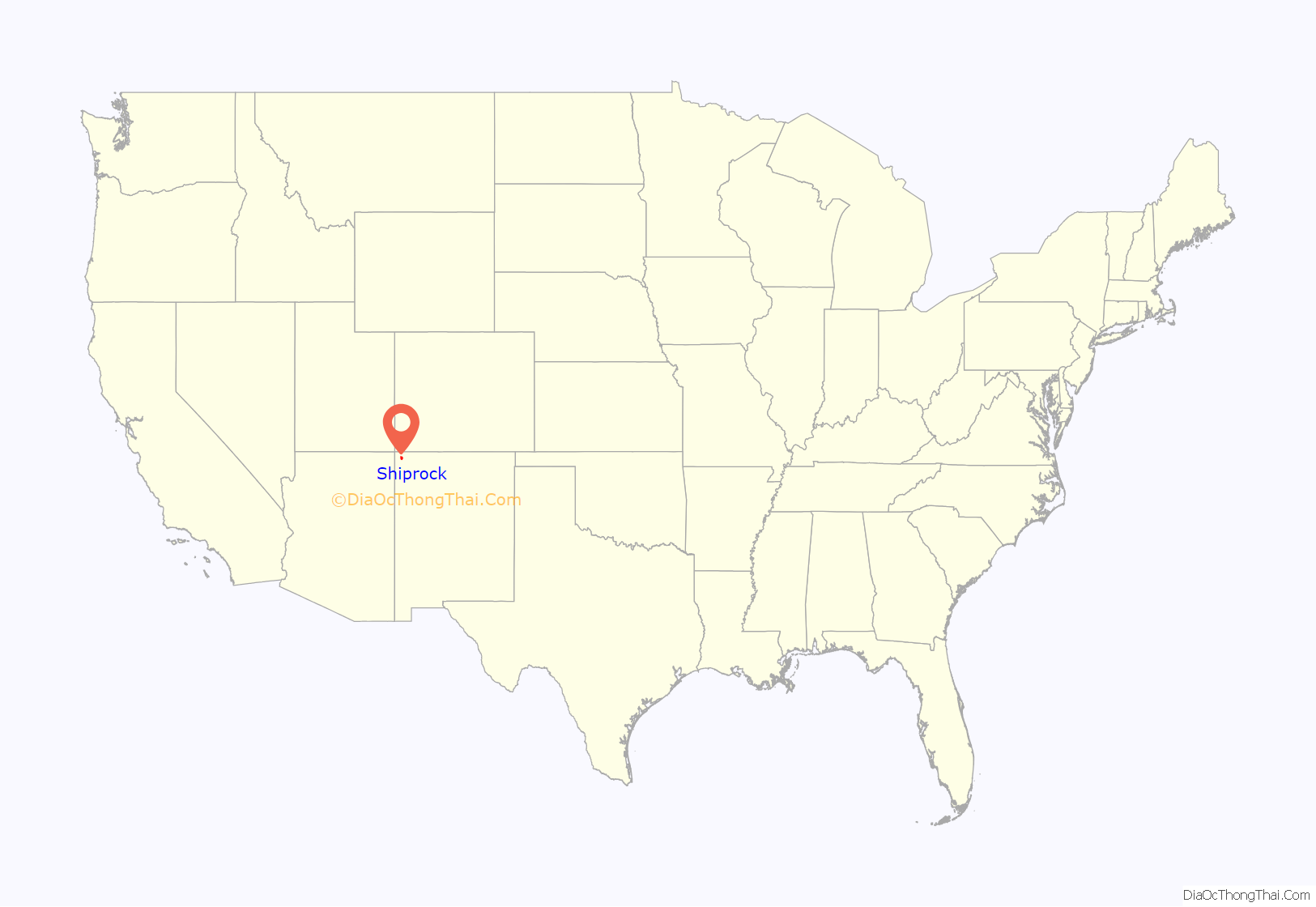
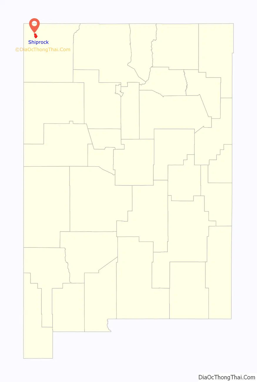
Shiprock location map. Where is Shiprock CDP?
History
Shiprock was founded on September 11, 1903, by San Juan Agency superintendent William Taylor Shelton after being assigned to the northern Navajo by the Bureau of Indian Affairs. A former U.S. government instructor in agriculture at the Cherokee School in Yellow Hill, North Carolina (now Cherokee, NC), Shelton had moved up through BIA ranks to be given the appointment to open an Indian agency and boarding school. He founded Shiprock Indian School and administrative agency with a staff of three white and three Navajo employees. Shiprock Indian Boarding School remained until the American Indian boarding school system was phased out in the early 1980s.
The settlement encompassed land originally belonging to Tséheya Begay. According to one of Shelton’s early reports, Navajo had been irrigating the land for many years, with 275 farms drawing water from approximately 25 ditches between the Shiprock area and Farmington. Under Shelton, the agency expanded the irrigation system and developed a dairy herd as part of its agricultural program; a sawmill near Sanostee and coal mine in the Hogback area were also developed. Early buildings in Shiprock were constructed of log and adobe, but brick replaced these materials after the disastrous flood of 1912. The superintendent was known as a disciplinarian who was ruthless in his prosecution of “moral lapses,” but is said to have been generally respected throughout the region, particularly for his efforts in adding the Utah-Colorado extension to the main Navajo Reservation.
Navajo Corrections operated the Shiprock District Department of Corrections jail facility in Shiprock. It had a capacity of twelve, and after being cited for mold complaints, closed in 2021.
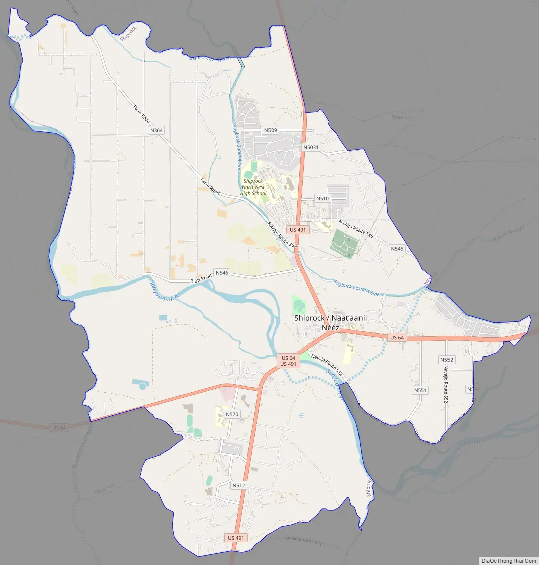
Shiprock Road Map
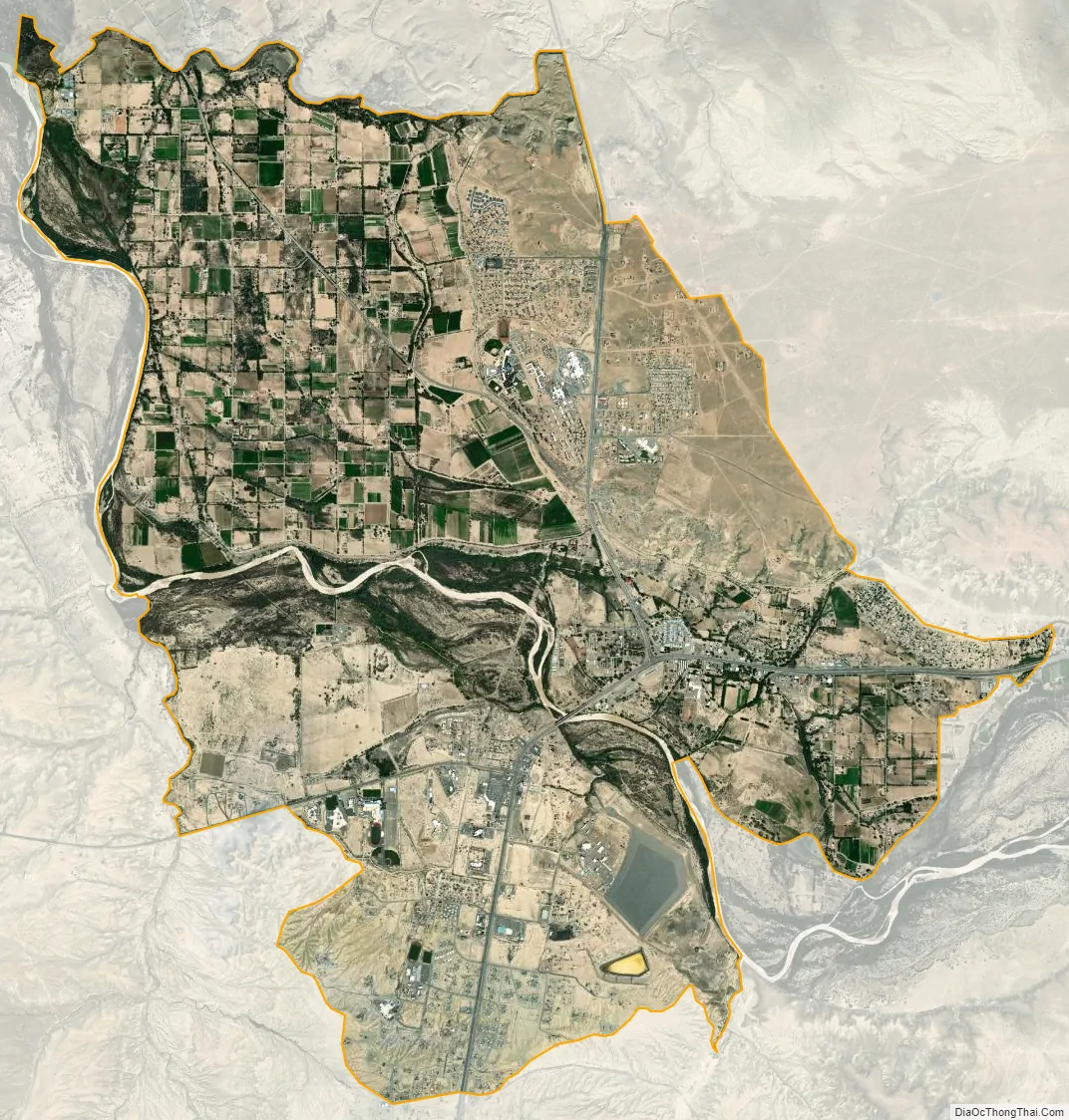
Shiprock city Satellite Map
Geography
According to the United States Census Bureau, the CDP has a total area of 16.2 square miles (42 km), of which 15.9 square miles (41 km) is land and 0.3 square miles (0.78 km) (2.10%) is water.
See also
Map of New Mexico State and its subdivision: Map of other states:- Alabama
- Alaska
- Arizona
- Arkansas
- California
- Colorado
- Connecticut
- Delaware
- District of Columbia
- Florida
- Georgia
- Hawaii
- Idaho
- Illinois
- Indiana
- Iowa
- Kansas
- Kentucky
- Louisiana
- Maine
- Maryland
- Massachusetts
- Michigan
- Minnesota
- Mississippi
- Missouri
- Montana
- Nebraska
- Nevada
- New Hampshire
- New Jersey
- New Mexico
- New York
- North Carolina
- North Dakota
- Ohio
- Oklahoma
- Oregon
- Pennsylvania
- Rhode Island
- South Carolina
- South Dakota
- Tennessee
- Texas
- Utah
- Vermont
- Virginia
- Washington
- West Virginia
- Wisconsin
- Wyoming