Tajique is a census-designated place (CDP) in Torrance County, New Mexico, United States. The population was 148 at the 2000 census. It is part of the Albuquerque Metropolitan Statistical Area.
| Name: | Tajique CDP |
|---|---|
| LSAD Code: | 57 |
| LSAD Description: | CDP (suffix) |
| State: | New Mexico |
| County: | Torrance County |
| Elevation: | 6,703 ft (2,043 m) |
| Total Area: | 2.70 sq mi (7.00 km²) |
| Land Area: | 2.70 sq mi (7.00 km²) |
| Water Area: | 0.00 sq mi (0.00 km²) |
| Total Population: | 106 |
| Population Density: | 39.20/sq mi (15.14/km²) |
| ZIP code: | 87016 |
| Area code: | 505 |
| FIPS code: | 3576060 |
| GNISfeature ID: | 0928822 |
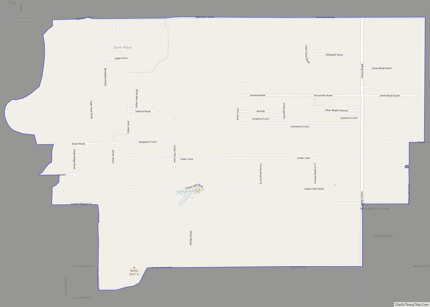
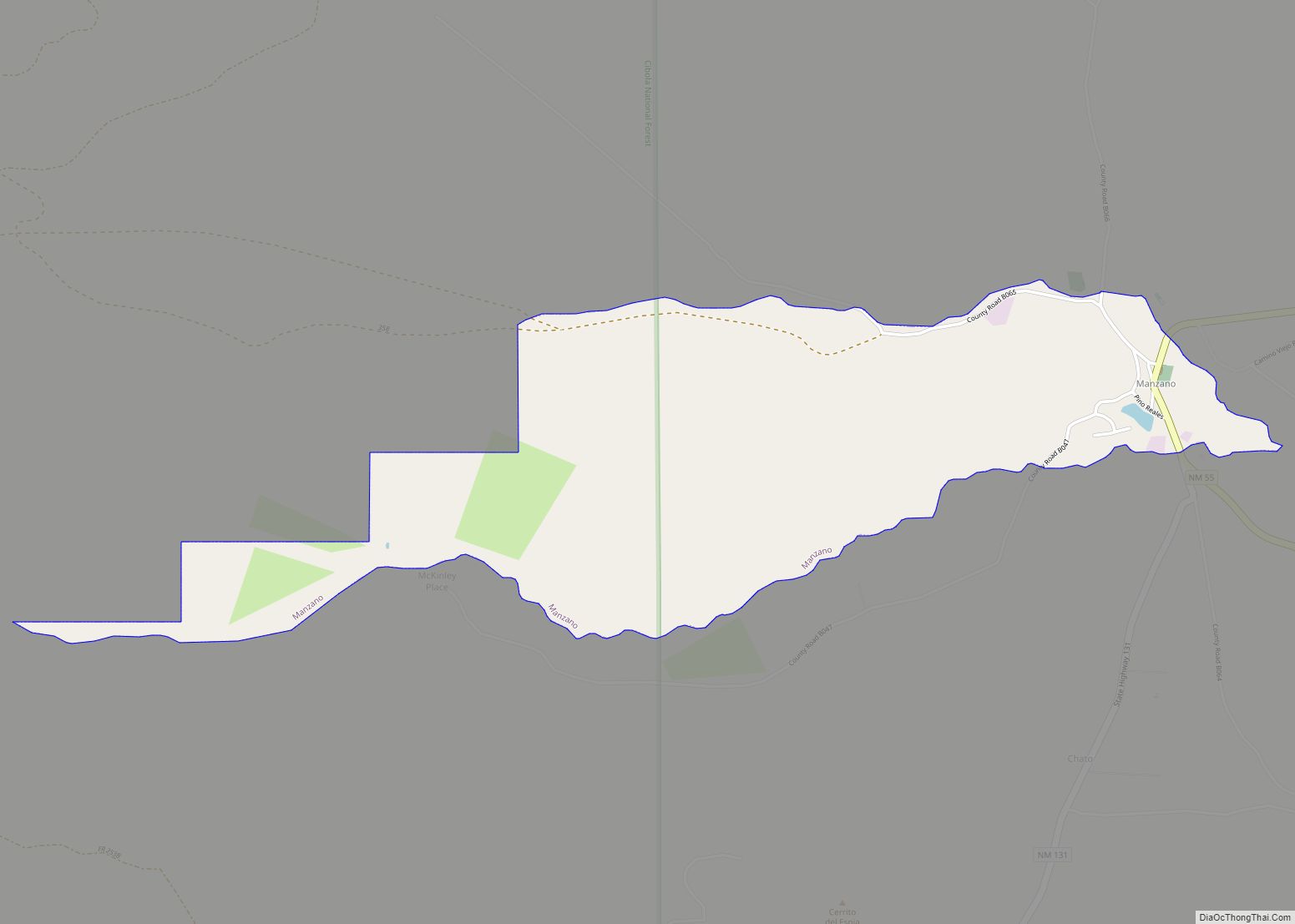
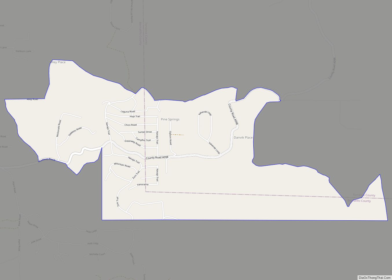
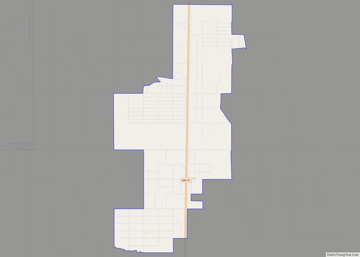
Online Interactive Map
Click on ![]() to view map in "full screen" mode.
to view map in "full screen" mode.
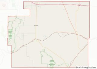
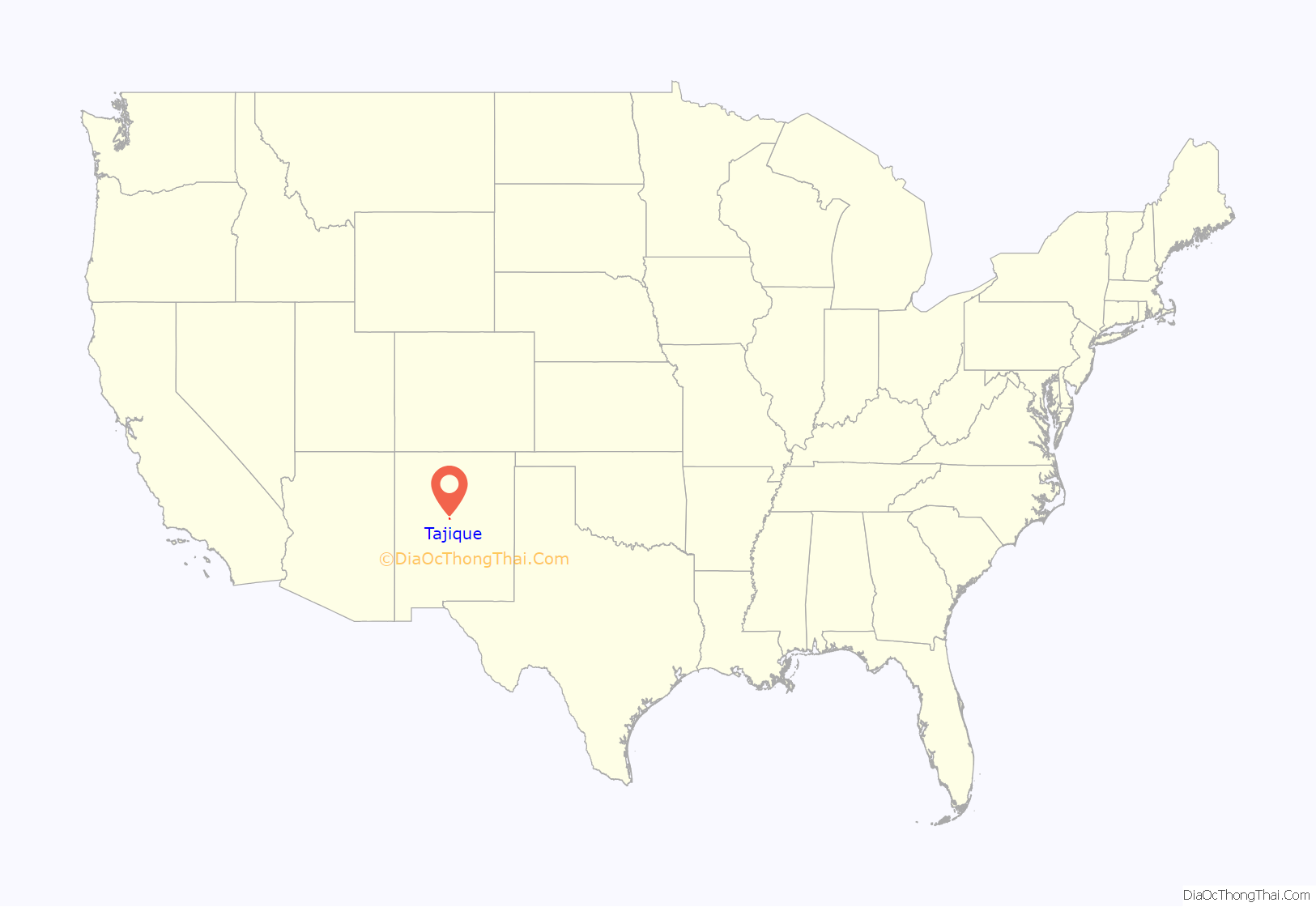
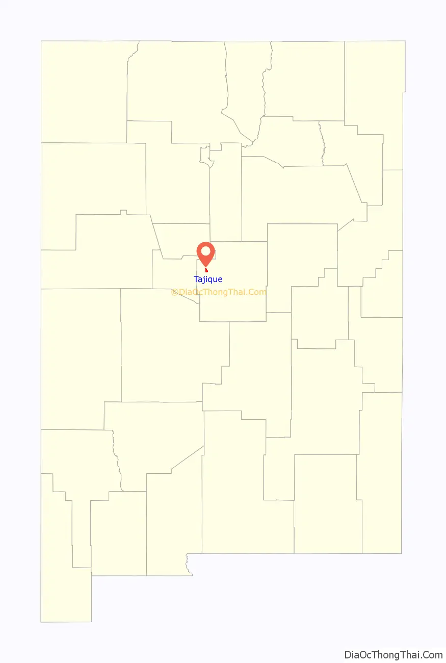
Tajique location map. Where is Tajique CDP?
History
Tajique was originally a Tiwa pueblo. The name Tajique may have been derived from the Tiwa name Tush-yit-yay. The original date of settlement is unknown. In the early 17th century, Tajique served as the seat of the San Miguel Mission. After an Apache raid in 1674, the inhabitants of the Quarai pueblo joined the Tajique pueblo, doubling the population to over 600 residents. In 1675, a subsequent Apache raid forced the abandonment of the Tajique pueblo.
The Trigo Fire in April, 2008 threatened the area, and Tajique was later evacuated due to the Big Spring Fire in June of that year. The Big Spring Fire burned 5,478 acres (22.17 km) and destroyed six homes and 10 outbuildings in Tajique. The Trigo Fire, which came near Tajique, burned 59 homes and charred 13,709 acres (55.48 km).
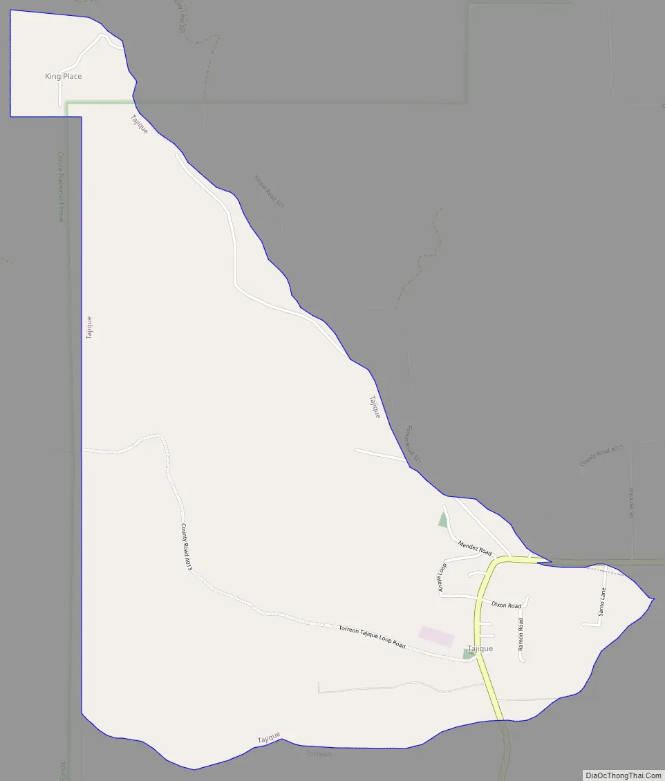
Tajique Road Map
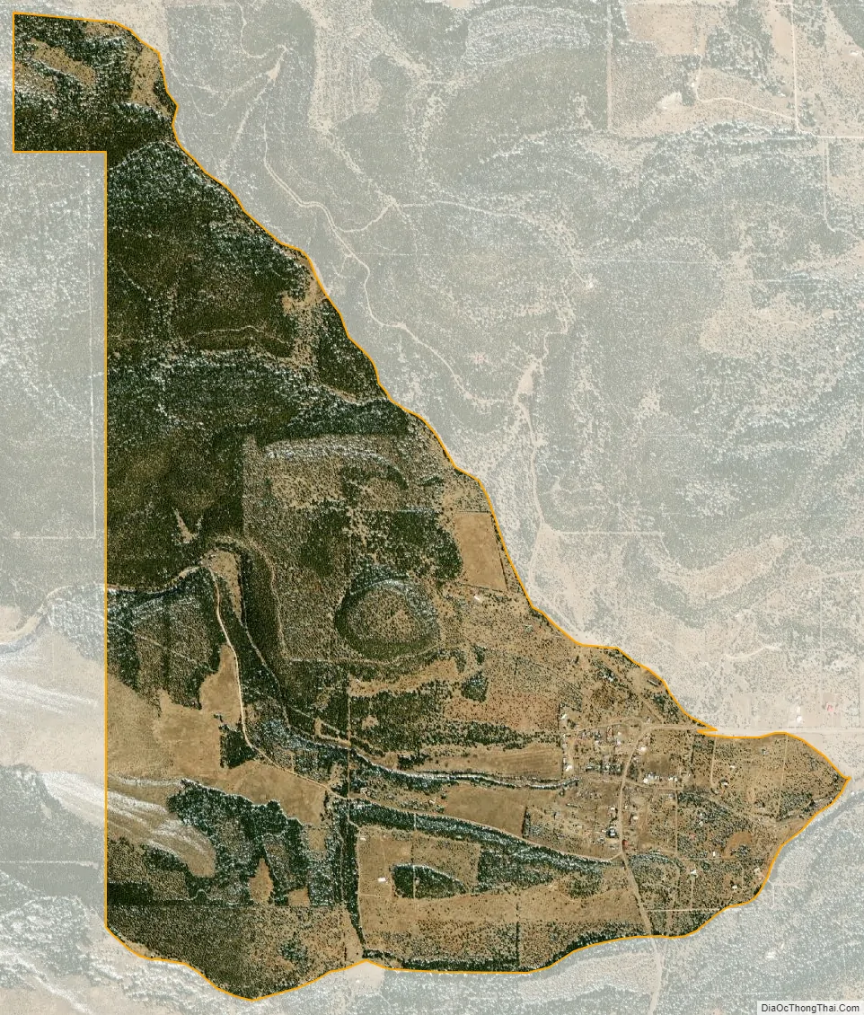
Tajique city Satellite Map
Geography
Tajique is located at 34°45′22″N 106°17′17″W / 34.75611°N 106.28806°W / 34.75611; -106.28806 (34.756005, -106.288042).
According to the United States Census Bureau, the CDP has a total area of 2.7 square miles (7.0 km), all land.
See also
Map of New Mexico State and its subdivision: Map of other states:- Alabama
- Alaska
- Arizona
- Arkansas
- California
- Colorado
- Connecticut
- Delaware
- District of Columbia
- Florida
- Georgia
- Hawaii
- Idaho
- Illinois
- Indiana
- Iowa
- Kansas
- Kentucky
- Louisiana
- Maine
- Maryland
- Massachusetts
- Michigan
- Minnesota
- Mississippi
- Missouri
- Montana
- Nebraska
- Nevada
- New Hampshire
- New Jersey
- New Mexico
- New York
- North Carolina
- North Dakota
- Ohio
- Oklahoma
- Oregon
- Pennsylvania
- Rhode Island
- South Carolina
- South Dakota
- Tennessee
- Texas
- Utah
- Vermont
- Virginia
- Washington
- West Virginia
- Wisconsin
- Wyoming